Cleobury Coppice

Wood, Forest in Shropshire

England

Cleobury Coppice

A4117 at Weston Farm
A4117 at Weston Farm Credit: Peter Whatley

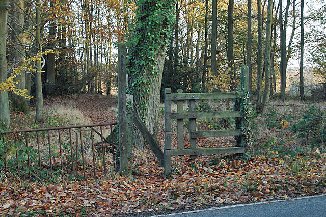
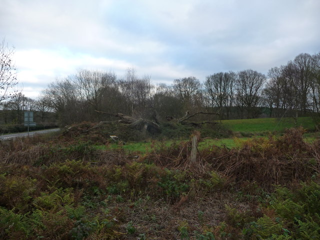
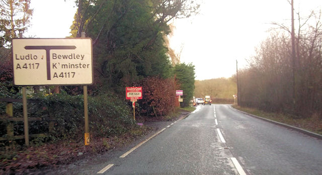
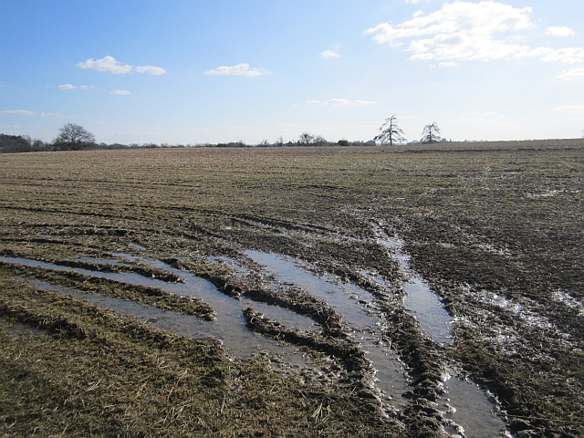
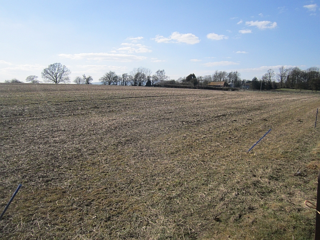
Cleobury Coppice is a stunning woodland area located in the county of Shropshire, England. Covering an area of approximately 50 hectares, this coppice is a prime example of a well-preserved ancient woodland. It lies within the Wyre Forest and is situated near the town of Cleobury Mortimer.

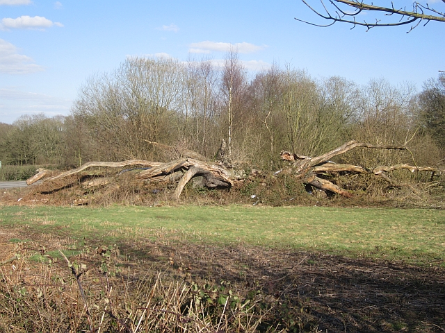
The woodland is home to a diverse range of flora and fauna, with a notable abundance of oak and birch trees. The dense canopy provides a sheltered habitat for numerous bird species, including woodpeckers, owls, and warblers. The forest floor is adorned with an array of wildflowers, such as bluebells and primroses, which bloom in the spring and add a vibrant touch to the landscape.

Cleobury Coppice has a rich history that stretches back centuries. It has been managed as a coppice woodland, where trees are cut down at regular intervals to produce small diameter timber for various uses. This traditional management technique has allowed for the regeneration of trees and the maintenance of a healthy ecosystem.

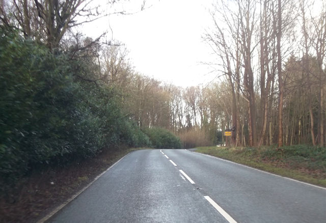
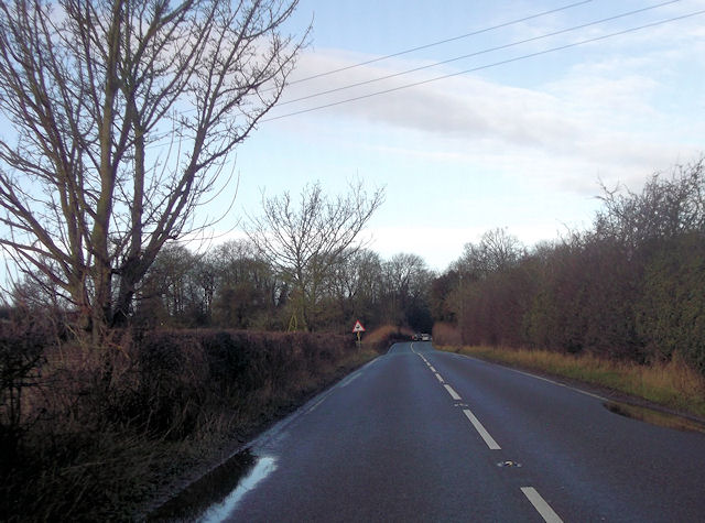
The woodland is a popular destination for nature enthusiasts, hikers, and photographers. It offers a network of well-maintained walking trails that meander through the forest, allowing visitors to explore its beauty at their own pace. The peaceful atmosphere and picturesque scenery make it an ideal spot for relaxation and contemplation.

Overall, Cleobury Coppice is a captivating woodland that showcases the natural beauty of Shropshire. With its ancient trees, diverse wildlife, and tranquil ambiance, it truly is a haven for nature lovers and a testament to the importance of preserving our natural heritage.

If you have any feedback on the listing, please let us know in the comments section below.

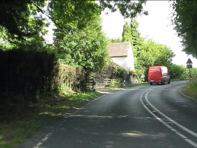
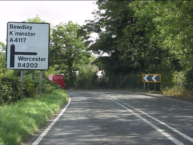
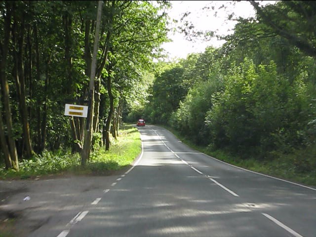
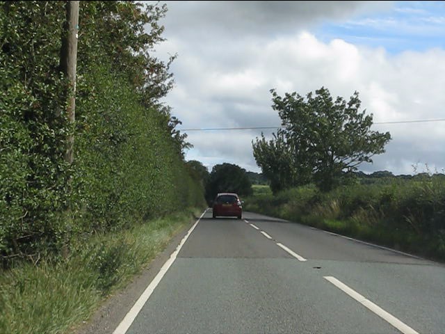
Cleobury Coppice Images

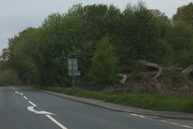
Images are sourced within 2km of 52.371996/-2.4260748 or Grid Reference SO7174. Thanks to Geograph Open Source API. All images are credited.

A4117 at Weston Farm
A4117 approaching the B4202 junction The use of Worcester as a primary destination is curious since the B4202 ends well north of that city at Abberley. Compare with this sign near Clows Top: <a title="https://www.geograph.org.uk/photo/2571418" href="https://www.geograph.org.uk/photo/2571418">Link</a>.
A4117 approaching the B4202 junction
The use of Worcester as a primary destination is curious since the B4202 ends well north of that city at Abberley. Compare with this sign near Clows Top: Link.
Garage at the A4117/B4202 junction The white lorry is waiting to turn out of the B4202.
Garage at the A4117/B4202 junction
The white lorry is waiting to turn out of the B4202.
B4202 amid woodland
B4202 amid woodland
B4202 near Prizeley
B4202 near Prizeley
Footpath into the woods
Garage at B4202 and A4117 junction near Weston Farm
A4117 approaching the B4202 junction
Pumping station
Pumping station
The decaying Mawley Oak near Cleobury Mortimer This old oak tree was a notable landmark here for centuries until its collapse in 2001. It was of massive girth and possibly 300 years old - its massive girth due to a favourable position rather than ancient age. But its location may have sped up its demise. Rather than slowly laying down growth rings its accelerated growth and wide growth rings weakened it. It now lies here decaying slowly and no doubt supporting a veritable city of invertebrates, bugs, beetles, larvae etc etc.
The decaying Mawley Oak near Cleobury Mortimer
This old oak tree was a notable landmark here for centuries until its collapse in 2001. It was of massive girth and possibly 300 years old - its massive girth due to a favourable position rather than ancient age. But its location may have sped up its demise. Rather than slowly laying down growth rings its accelerated growth and wide growth rings weakened it. It now lies here decaying slowly and no doubt supporting a veritable city of invertebrates, bugs, beetles, larvae etc etc.
The Mawley Oak garage and filling station At the junction of the A4117 and B4202 roads near Cleobury Mortimer. Named for the old oak tree that stood nearby until 2001.
The Mawley Oak garage and filling station
At the junction of the A4117 and B4202 roads near Cleobury Mortimer. Named for the old oak tree that stood nearby until 2001.
Entrance to Lodge Coppice from B4202
B4202 at Prizeley
B4202 at Prizeley
B4202 junction with A4117
Field, Prizeley Wet from snowmelt.
Field, Prizeley
Wet from snowmelt.
Field, Prizeley
Field, Prizeley
Mawley Oak An old oak has been left to rot. This was once a famous landmark, but collapsed in 2001.
Mawley Oak
An old oak has been left to rot. This was once a famous landmark, but collapsed in 2001.
Woodland and the Mawley Oak The tree trunk on the right is the remains of the Mawley Oak which fell in 2001 <span class="nowrap"><a title="http://wbrc.org.uk/worcRecd/Issue12/mawley.htm" rel="nofollow ugc noopener" href="http://wbrc.org.uk/worcRecd/Issue12/mawley.htm">Link</a><img style="margin-left:2px;" alt="External link" title="External link - shift click to open in new window" src="https://s1.geograph.org.uk/img/external.png" width="10" height="10"/></span>
Woodland and the Mawley Oak
The tree trunk on the right is the remains of the Mawley Oak which fell in 2001 LinkExternal link
Show me another place!

Cleobury Coppice is located at Grid Ref: SO7174 (Lat: 52.371996, Lng: -2.4260748)

Unitary Authority: Shropshire

Police Authority: West Mercia

What 3 Words

///rinses.frog.sleepless. Near Cleobury Mortimer, Shropshire

Related Wikis

Cleobury Mortimer railway station

Cleobury Mortimer railway station was a station in Cleobury Mortimer, Shropshire, England. The station was opened in 1864 and closed in 1962. Station buildings...

Wyre Forest railway station

Wyre Forest railway station was a station to the north of Far Forest, Worcestershire, England. The station which served the Wyre Forest was opened in 1869...

Far Forest

Far Forest is a small village in north Worcestershire, England, approximately 3.5 miles (5.6 km) west of Bewdley, and next to the border with Shropshire...
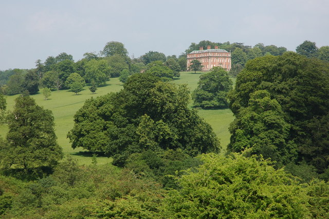
Mawley Hall

Mawley Hall is a privately owned 18th-century country mansion near Cleobury Mortimer, Shropshire, England. It is a Grade I listed building.The Blount family...
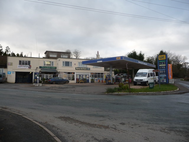
Nearby Amenities

Located within 500m of 52.371996,-2.4260748
Generator Method: photovoltaic
Generator Output Electricity: yes
Generator Source: solar
Generator Type: solar_photovoltaic_panel
Location: roof
Power: generator
Lat/Long: 52.3734934/-2.4225658
The data included in this document is from www.openstreetmap.org. The data is made available under ODbL.

Have you been to Cleobury Coppice?

Leave your review of Cleobury Coppice below (or comments, questions and feedback).