Buckridge

Settlement in Worcestershire Malvern Hills

England

Buckridge

B4202 near Prizeley
B4202 near Prizeley Credit: Peter Whatley

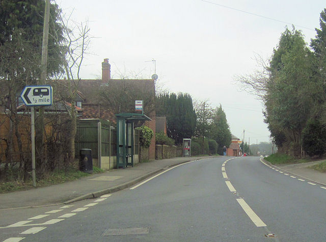
Buckridge is a small village located in the county of Worcestershire, England. Situated in the picturesque countryside, it is nestled amidst rolling hills and offers breathtaking views of the surrounding landscape. With a population of around 500 residents, Buckridge is known for its tight-knit community and friendly atmosphere.

The village dates back to medieval times and is steeped in history. Many of its buildings still reflect the architectural styles of the past, with charming thatched cottages and traditional timber-framed houses lining the narrow streets. The centerpiece of Buckridge is its historic parish church, which stands proudly at the heart of the village. Constructed in the 12th century, the church showcases stunning Norman architecture and is a popular spot for visitors interested in its rich heritage.

Despite its small size, Buckridge offers a range of amenities to its residents. The village boasts a well-stocked local shop, a cozy pub serving delicious food, and a primary school that caters to the educational needs of the local children. Additionally, there are several recreational facilities, including a community center and a playground, which provide opportunities for socializing and leisure activities.

Buckridge benefits from its proximity to the nearby town of Worcester, which is just a short drive away. This allows residents to access a wider range of services, shopping centers, and employment opportunities. Overall, Buckridge is a charming and picturesque village that exudes a sense of tranquility and offers a close-knit community for its residents.

If you have any feedback on the listing, please let us know in the comments section below.
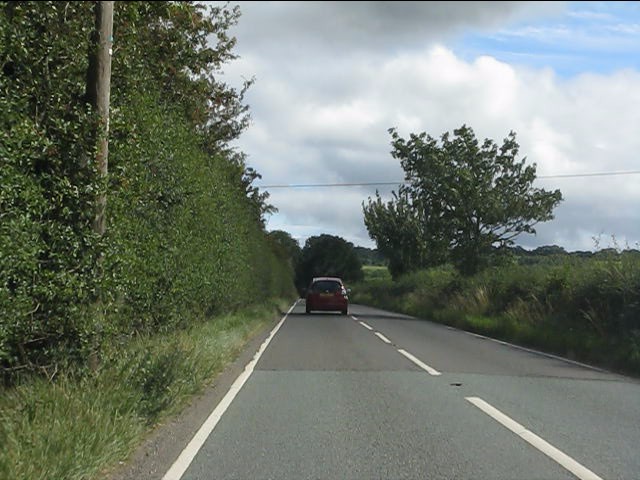
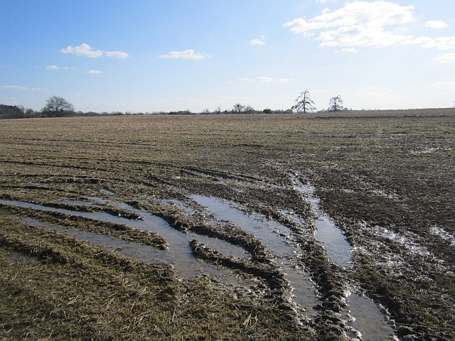
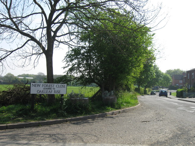
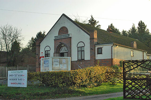
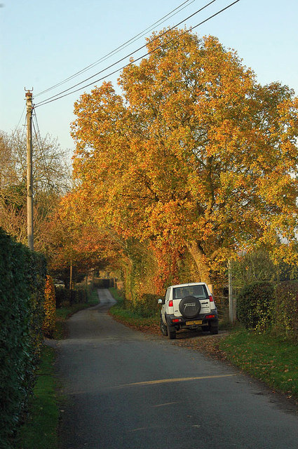
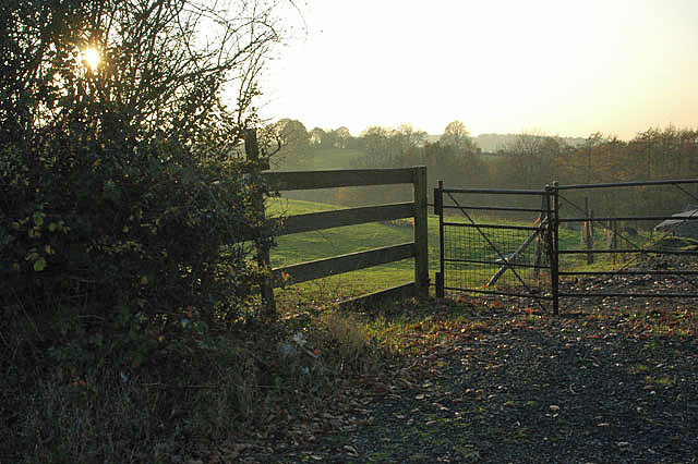
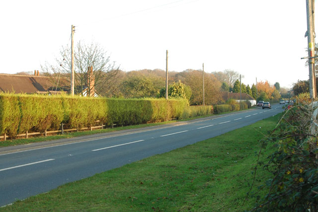
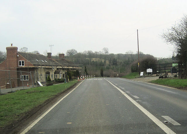
Buckridge Images

Images are sourced within 2km of 52.367475/-2.4158534 or Grid Reference SO7174. Thanks to Geograph Open Source API. All images are credited.

B4202 near Prizeley
B4202 near Prizeley
Field, Prizeley Wet from snowmelt.
Field, Prizeley
Wet from snowmelt.
Old Milestone by B4202, Prizeley Stone post (plate lost) by the B4202, in parish of Cleobury Mortimer (South Shropshire District), Prizeley, Southeast of Farm, on East side of road. Cleobury iron plate erected by the Cleobury Mortimer to Bridgnorth turnpike trust in the 19th century. 

Inscription once read:-
(CLEOBURY)
(2 MILES)
(WORCESTER)
(18 MILES)

Grade II listed.
List Entry Number: 1383437 <span class="nowrap"><a title="https://historicengland.org.uk/listing/the-list/list-entry/1383437" rel="nofollow ugc noopener" href="https://historicengland.org.uk/listing/the-list/list-entry/1383437">Link</a><img style="margin-left:2px;" alt="External link" title="External link - shift click to open in new window" src="https://s1.geograph.org.uk/img/external.png" width="10" height="10"/></span>

Shropshire HER: 20410 <span class="nowrap"><a title="https://www.heritagegateway.org.uk/Gateway/Results_Single.aspx?uid=MSA18211&resourceID=1015" rel="nofollow ugc noopener" href="https://www.heritagegateway.org.uk/Gateway/Results_Single.aspx?uid=MSA18211&resourceID=1015">Link</a><img style="margin-left:2px;" alt="External link" title="External link - shift click to open in new window" src="https://s1.geograph.org.uk/img/external.png" width="10" height="10"/></span>

Milestone Society National ID: SA_CYWO02
Old Milestone by B4202, Prizeley
Stone post (plate lost) by the B4202, in parish of Cleobury Mortimer (South Shropshire District), Prizeley, Southeast of Farm, on East side of road. Cleobury iron plate erected by the Cleobury Mortimer to Bridgnorth turnpike trust in the 19th century. Inscription once read:- (CLEOBURY) (2 MILES) (WORCESTER) (18 MILES) Grade II listed. List Entry Number: 1383437 LinkExternal link Shropshire HER: 20410 LinkExternal link Milestone Society National ID: SA_CYWO02
New Forest Close, Far Forest
B4202 approaching a rural crossroads
Rural crossroads, B4202
B4202 at Tansy Fields
B4202 near Church Hill
B4202 - Bayton Common crossroads Phone box, post box and parish noticeboard feature at his nodal point.
B4202 - Bayton Common crossroads
Phone box, post box and parish noticeboard feature at his nodal point.
A456 from the entrance to Gybhouse Farm
A4117 near Bell Coppice
Far Forest Village Hall
Lane off Station Road
Fenced off
Fenced off
A4117 near Whitehouse Farm
Former Horse and Jockey from A4117 eastbound
A4117 east through Far Forest At junction of New Road. Phone box can be seen
A4117 east through Far Forest
At junction of New Road. Phone box can be seen
Misty morning at Beach Hay
Show me another place!

Buckridge is located at Grid Ref: SO7174 (Lat: 52.367475, Lng: -2.4158534)

Administrative County: Worcestershire

District: Malvern Hills

Police Authority: West Merica

What 3 Words

///guesswork.forge.bleak. Near Cleobury Mortimer, Shropshire

Related Wikis

Far Forest

Far Forest is a small village in north Worcestershire, England, approximately 3.5 miles (5.6 km) west of Bewdley, and next to the border with Shropshire...

Wyre Forest railway station

Wyre Forest railway station was a station to the north of Far Forest, Worcestershire, England. The station which served the Wyre Forest was opened in 1869...

Cleobury Mortimer railway station

Cleobury Mortimer railway station was a station in Cleobury Mortimer, Shropshire, England. The station was opened in 1864 and closed in 1962. Station buildings...

Fingerpost, Worcestershire

Fingerpost is a hamlet and road junction in north Worcestershire, England, approximately 3 miles (4.8 km) west of Bewdley. It is located at the junction...

Nearby Amenities

Located within 500m of 52.367475,-2.4158534
Buckeridge
Is In: Worcester
Place: hamlet
Lat/Long: 52.3651736/-2.4096782
Beach Hay
Is In: Worcester
Place: locality
Lat/Long: 52.3656072/-2.4223416
The data included in this document is from www.openstreetmap.org. The data is made available under ODbL.

Have you been to Buckridge?

Leave your review of Buckridge below (or comments, questions and feedback).