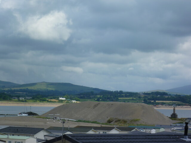
Beach, South
Settlement in Caernarfonshire
Wales
Beach, South

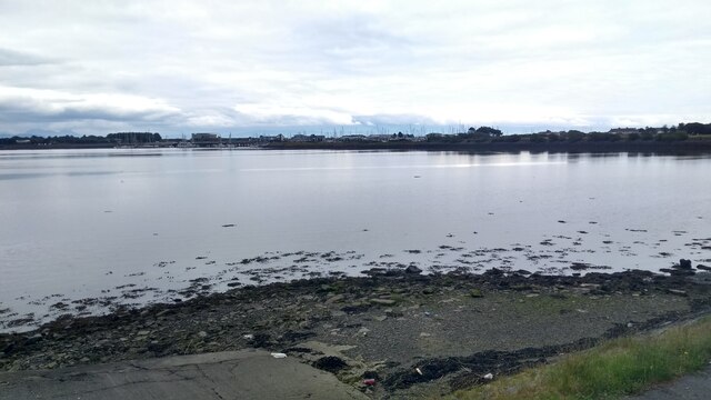
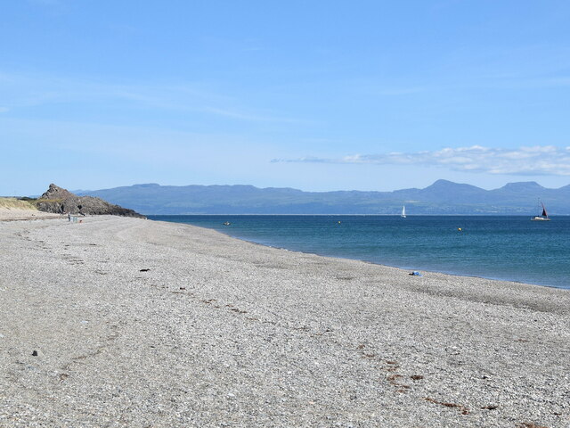
Beach, South, Caernarfonshire is a picturesque coastal village located in the county of Caernarfonshire in Wales, United Kingdom. Situated on the southern coast of the Irish Sea, it is renowned for its stunning natural beauty and tranquil atmosphere.
The village is surrounded by breathtaking landscapes, including sandy beaches, rolling hills, and lush green fields. The beach itself stretches for miles, offering visitors a peaceful and idyllic setting for relaxation and leisure activities. The crystal-clear waters are perfect for swimming, and the soft golden sand is ideal for sunbathing and building sandcastles.
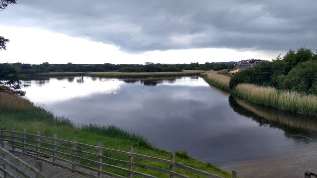
Beach, South, Caernarfonshire is also a popular destination for outdoor enthusiasts and nature lovers. The surrounding countryside provides numerous opportunities for hiking, cycling, and birdwatching. The nearby hills and mountains offer stunning panoramic views of the coastline and the Snowdonia National Park.
The village boasts a small but vibrant community, with a handful of charming local shops, cafes, and restaurants. Visitors can sample delicious seafood dishes made with locally caught fish or indulge in traditional Welsh cuisine.
For history enthusiasts, the area is rich in heritage. The nearby Caernarfon Castle, a UNESCO World Heritage site, is a must-visit attraction. Its imposing medieval architecture and fascinating historical significance make it a fascinating destination for tourists.
Overall, Beach, South, Caernarfonshire is a hidden gem, offering visitors a perfect blend of natural beauty, outdoor activities, and tranquility. Whether seeking relaxation or adventure, this coastal village is sure to leave a lasting impression on all who visit.
If you have any feedback on the listing, please let us know in the comments section below.
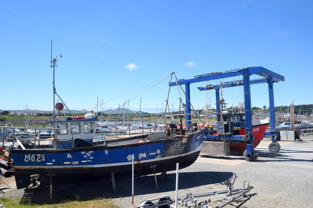
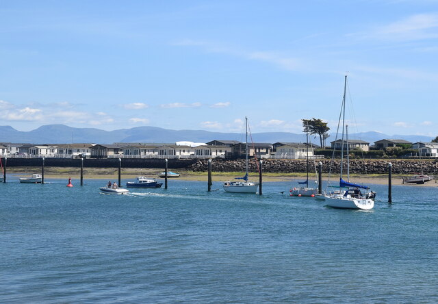
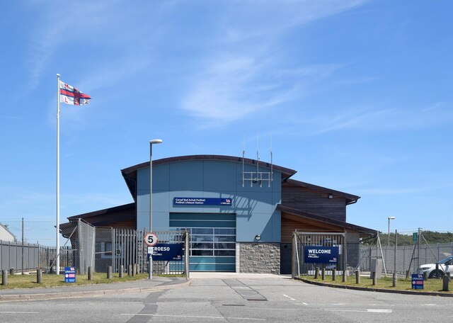
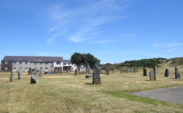
Beach, South Images
Images are sourced within 2km of 52.883614/-4.411171 or Grid Reference SH3734. Thanks to Geograph Open Source API. All images are credited.
Beach, South is located at Grid Ref: SH3734 (Lat: 52.883614, Lng: -4.411171)
Unitary Authority: Gwynedd
Police Authority: North Wales
Also known as: South Beach
What 3 Words
///drops.accordion.drainage. Near Pwllheli, Gwynedd
Nearby Locations
Related Wikis

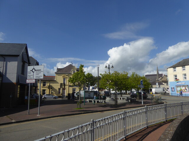
Pwllheli
Pwllheli (Welsh: [pʊɬˈhɛli] ; ) is a market town and community of the Llŷn Peninsula (Welsh: Penrhyn Llŷn), north-western Wales. It lies in the traditional...

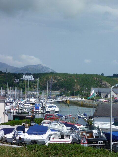
Pwllheli Lifeboat Station
Pwllheli Lifeboat Station (based in Pwllheli, Gwynedd, Wales) was first established by the Royal National Lifeboat Institution (RNLI) in 1891 at a cost...
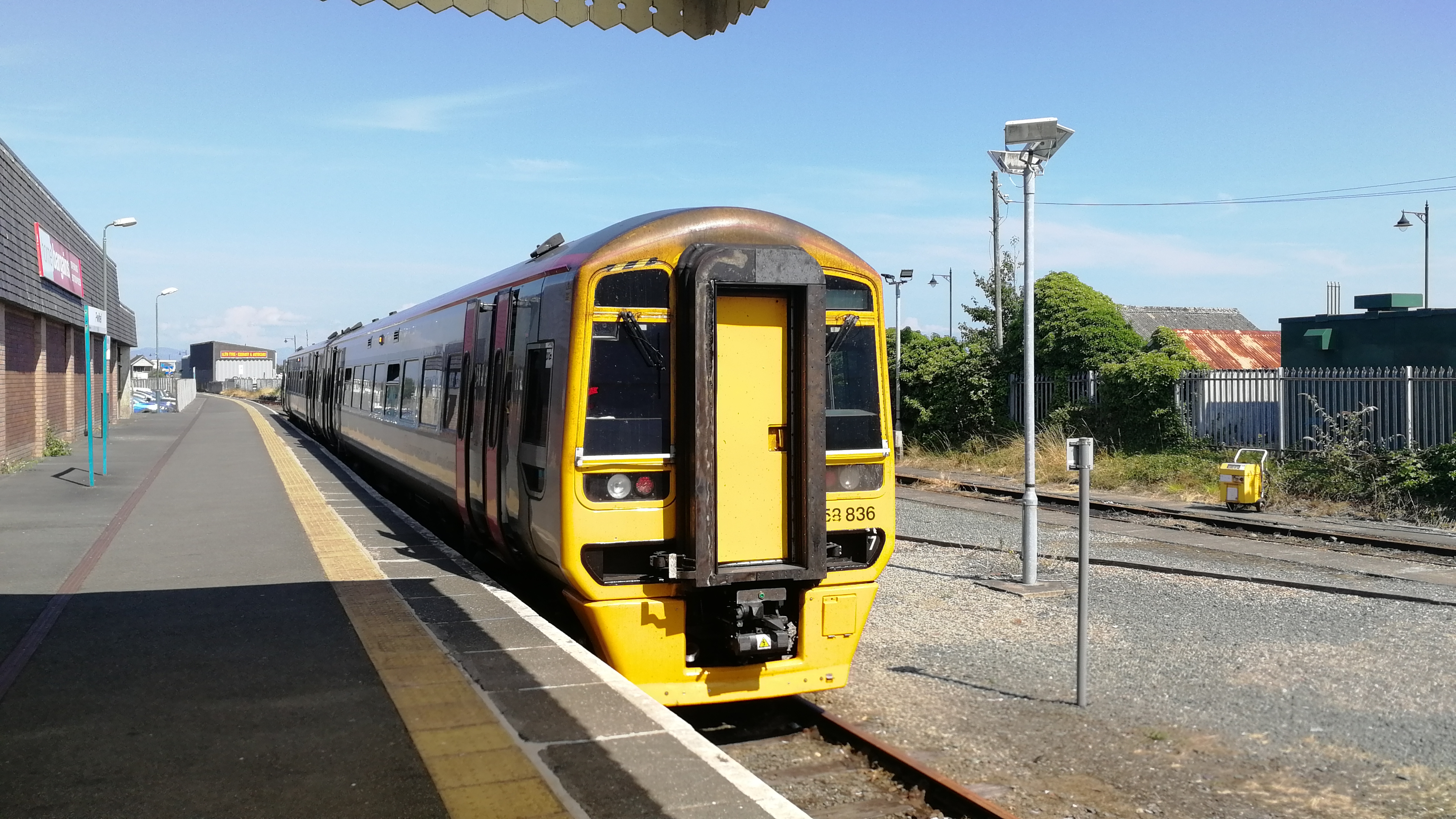
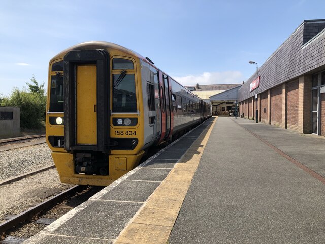
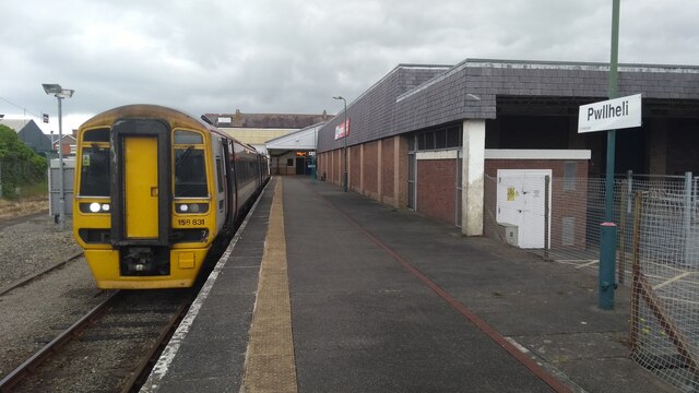
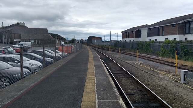
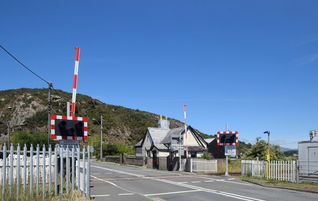
Pwllheli railway station
Pwllheli railway station serves the small coastal town of Pwllheli, on the Llŷn Peninsula in Gwynedd, Wales. It is the northern terminus of the Cambrian...

Neuadd Dwyfor
Pwllheli Town Hall (Welsh: Neuadd Dwyfor) is a municipal building in Penlan Street, Pwllheli, Gwynedd, Wales. The structure, which now operates as an arts...

Carreg yr Imbill
Carreg yr Imbill is the remains of a large dolerite with pegmatite pods and quarry at Pwllheli, Gwynedd, Wales. The dolerite was mined by the Liverpool...

Capel Salem, Pwllheli
Capel Salem is a Grade II listed former chapel in Pwllheli, Gwynedd, Wales. It was originally built in 1862 for the Calvinistic Methodists, to the designs...

Afon Erch
The Afon Erch is a short river on the Llŷn peninsula, Gwynedd, Wales. It arises near the village of Llanaelhaearn, flowing south and southwest towards...

Pwllheli South
Pwllheli South (Welsh: De Pwllheli) is one of the electoral wards in the town of Pwllheli, on the coast of the Llŷn Peninsula in Gwynedd, Wales. It elects...
Nearby Amenities
Located within 500m of 52.883614,-4.411171Have you been to Beach, South?
Leave your review of Beach, South below (or comments, questions and feedback).