Aire Point
Coastal Feature, Headland, Point in Cornwall
England
Aire Point
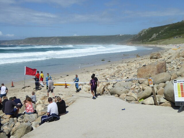
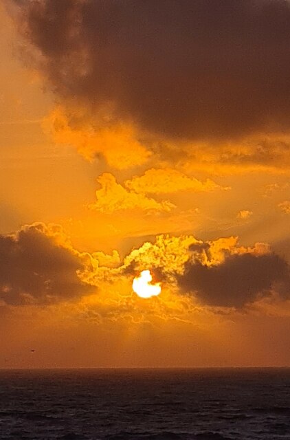
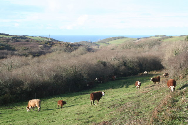
Aire Point, located in Cornwall, England, is a prominent coastal feature known for its stunning headland and picturesque point. Situated on the southwestern tip of the county, it offers breathtaking panoramic views of the surrounding coastline and the vast Atlantic Ocean.
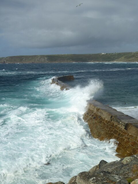
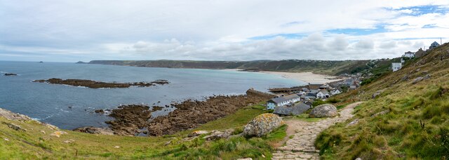
The headland of Aire Point is characterized by its rugged cliffs, which rise dramatically from the turquoise waters below. These cliffs are made up of various rock formations, showcasing the geological diversity of the area. They provide a habitat for a rich array of seabirds, including gulls, puffins, and cormorants, making it a popular spot for birdwatching enthusiasts.
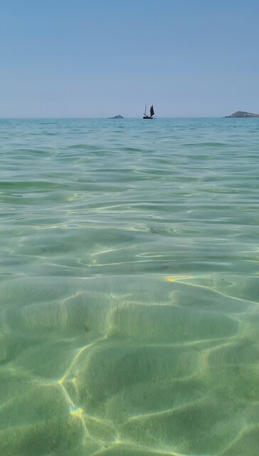
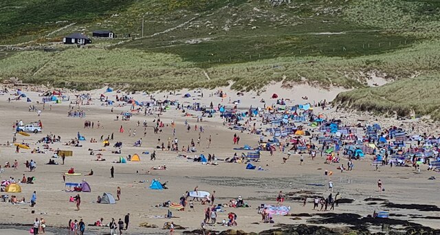
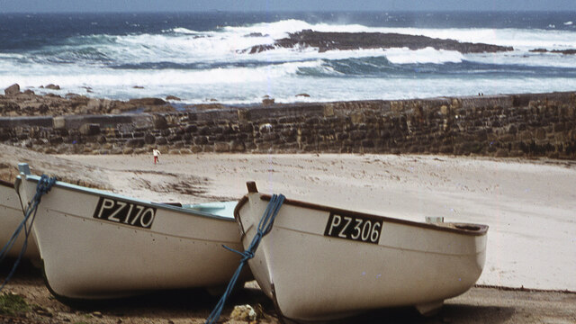
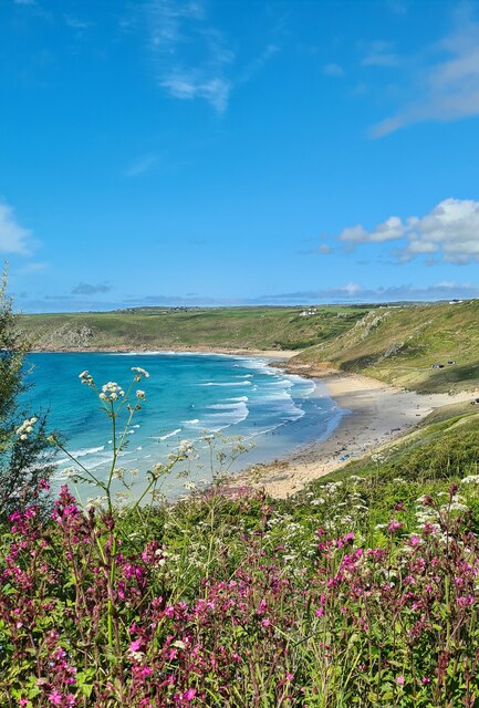
The point itself is a narrow extension of land that juts out into the sea, forming a natural peninsula. It is surrounded by pristine sandy beaches and crystal-clear waters, making it an ideal destination for beachgoers and water sports enthusiasts. The point also offers access to hidden coves and secluded bays, providing opportunities for exploration and tranquility.
Aire Point is easily accessible by foot, with a well-maintained coastal path that winds its way along the clifftops, offering breathtaking views at every turn. The path is dotted with wildflowers and offers a chance to spot local wildlife, such as seals and dolphins, frolicking in the waters below.
Whether it's for its stunning natural beauty, abundant wildlife, or recreational opportunities, Aire Point is an idyllic destination for nature lovers and outdoor enthusiasts alike. It encapsulates the essence of Cornwall's rugged coastline and offers a memorable experience for visitors seeking to connect with nature and enjoy the awe-inspiring beauty of the English coast.
If you have any feedback on the listing, please let us know in the comments section below.
Aire Point Images
Images are sourced within 2km of 50.094523/-5.6944184 or Grid Reference SW3528. Thanks to Geograph Open Source API. All images are credited.


Aire Point is located at Grid Ref: SW3528 (Lat: 50.094523, Lng: -5.6944184)
Unitary Authority: Cornwall
Police Authority: Devon and Cornwall
What 3 Words
///treatable.light.private. Near Sennen, Cornwall
Nearby Locations
Related Wikis
Nanquidno
Nanquidno is a hamlet near St Just in Penwith in west Cornwall, England. It is about half a mile southwest of Kelynack. == References ==

Escalls
Escalls is a hamlet in the civil parish of Sennen on the Penwith peninsula in west Cornwall, England, UK. == Toponyny == Escalls previously written as...
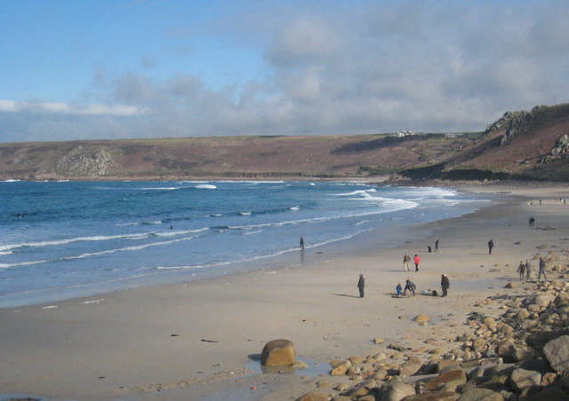
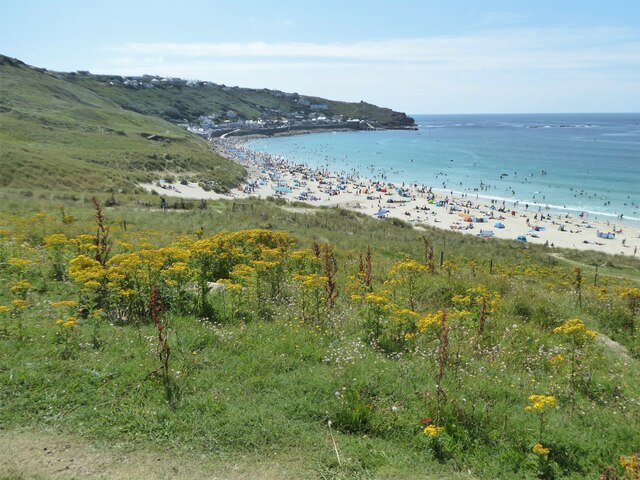
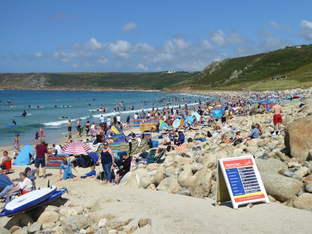
Whitesand Bay
Whitesand Bay (Cornish: Porth Senan, meaning cove at Sennen) is a wide sandy bay near Land's End in west Cornwall, England, United Kingdom. It stretches...

Trevillet
Trevillet or Trevillett is a hamlet in Cornwall, England, United Kingdom. It is located within the civil parish of Tintagel, to the east of Bossiney village...

Carn Towan
Carn Towan (Cornish: Karn Tewyn) is a coastal hamlet northeast of Sennen Cove in west Cornwall, England, UK. Carn Towan is in the civil parish of Sennen...

Land's End Airport
Land's End Airport (IATA: LEQ, ICAO: EGHC), situated near St Just in Penwith, 5 NM (9.3 km; 5.8 mi) west of Penzance, in Cornwall, is the most south westerly...

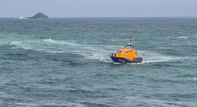
Sennen Cove Lifeboat Station
Sennen Cove Lifeboat Station is the base for Royal National Lifeboat Institution (RNLI) search and rescue operations for the sea around Land's End, Cornwall...
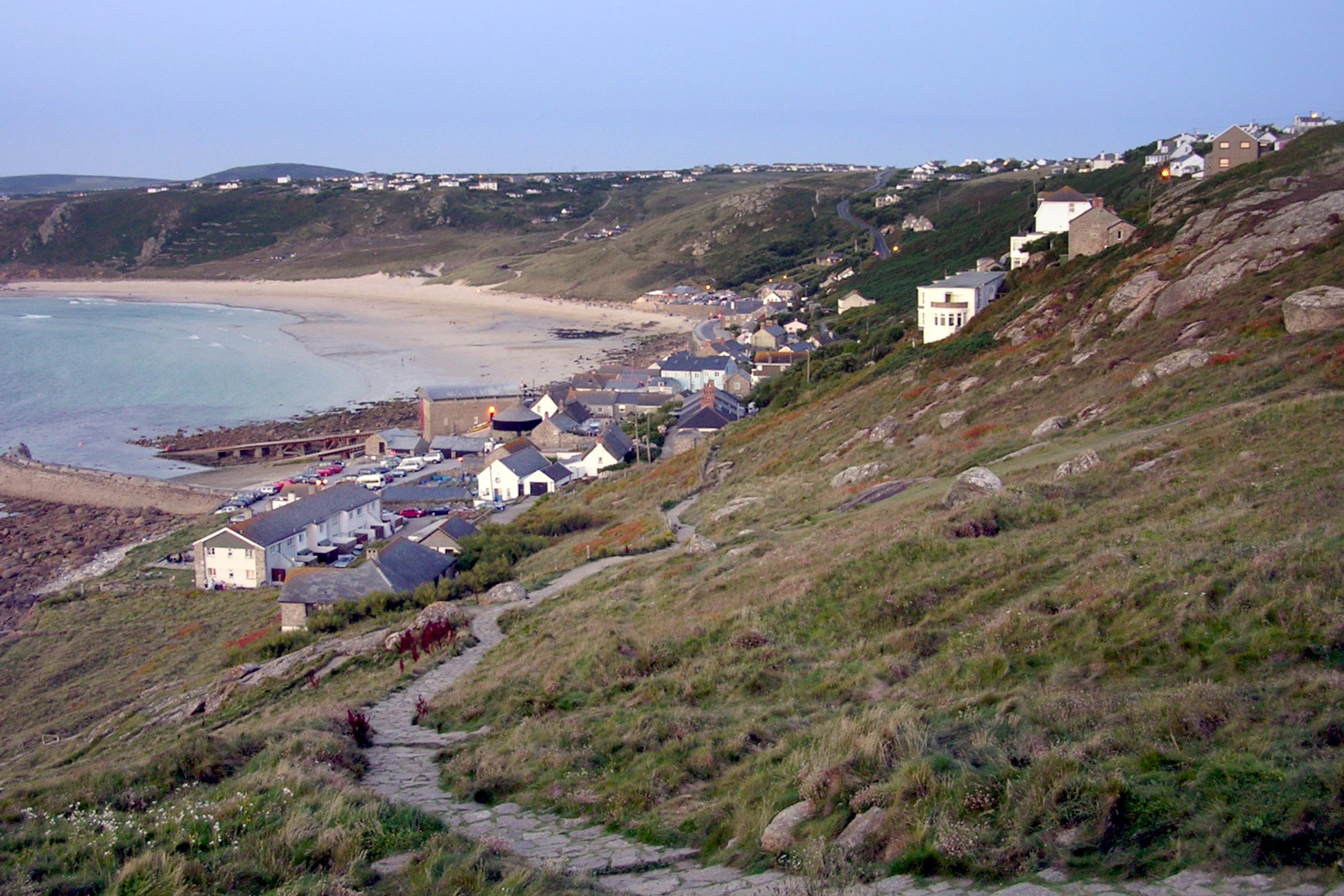
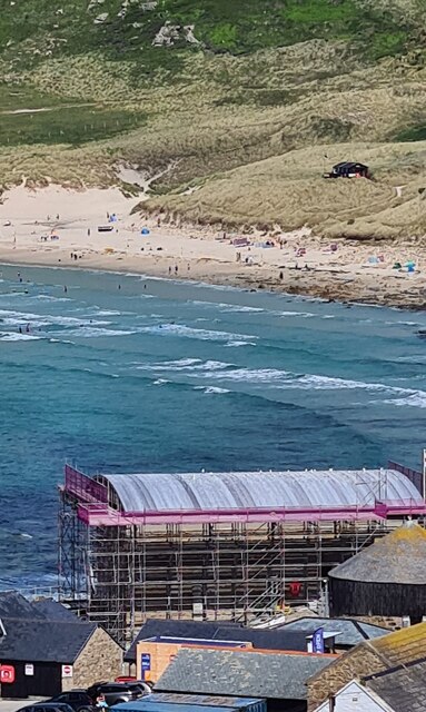
Sennen Cove
Sennen Cove (Cornish: Porthsenen) (grid reference SW352261) is a small coastal village in the parish of Sennen in Cornwall, England, United Kingdom. According...
Nearby Amenities
Located within 500m of 50.094523,-5.6944184Have you been to Aire Point?
Leave your review of Aire Point below (or comments, questions and feedback).