Geodha Nighean Iain
Coastal Feature, Headland, Point in Ross-shire
Scotland
Geodha Nighean Iain
Geodha Nighean Iain, located in Ross-shire, Scotland, is a picturesque coastal feature that stands out for its stunning headland and point formations. This geologically significant area is characterized by its rugged cliffs, rocky promontories, and breathtaking views of the surrounding landscape.
The headland at Geodha Nighean Iain juts out into the sea, providing a natural barrier against the crashing waves and strong currents. Its towering cliffs, composed of various rock types, including sandstone and limestone, offer a glimpse into the area's geological history. Over time, the relentless force of the sea has sculpted the headland, creating unique formations and sea stacks that add to the area's charm.
The point at Geodha Nighean Iain is a narrow strip of land extending into the water, forming a distinct shape that resembles a natural peninsula. This feature offers visitors panoramic views of the surrounding coastline, providing an ideal vantage point for birdwatching and observing marine life. The point is also a popular spot for fishing enthusiasts, who can cast their lines into the deep waters teeming with various species of fish.
Geodha Nighean Iain is a haven for nature lovers, with its diverse ecosystem and abundant wildlife. Seabirds such as puffins, gannets, and guillemots can be seen nesting on the cliffs, while seals and dolphins occasionally make appearances in the waters below. The surrounding landscape is a mosaic of coastal heaths, grasslands, and wildflowers, creating a beautiful backdrop for visitors to explore.
In conclusion, Geodha Nighean Iain in Ross-shire is a captivating coastal feature renowned for its headland and point formations. Its dramatic cliffs, panoramic views, and rich biodiversity make it an ideal destination for those seeking natural beauty and tranquility.
If you have any feedback on the listing, please let us know in the comments section below.
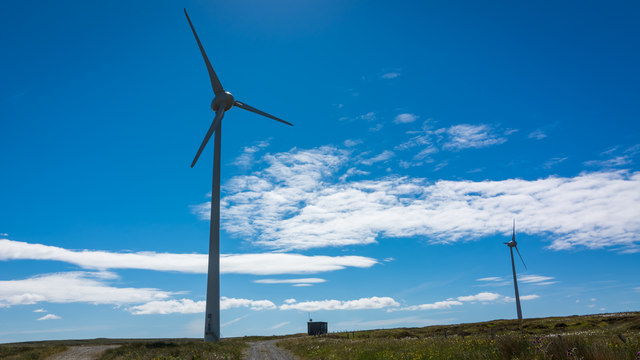
Geodha Nighean Iain Images
Images are sourced within 2km of 58.389775/-6.5255334 or Grid Reference NB3553. Thanks to Geograph Open Source API. All images are credited.


Geodha Nighean Iain is located at Grid Ref: NB3553 (Lat: 58.389775, Lng: -6.5255334)
Unitary Authority: Na h-Eileanan an Iar
Police Authority: Highlands and Islands
What 3 Words
///tribune.sand.according. Near Carloway, Na h-Eileanan Siar
Related Wikis
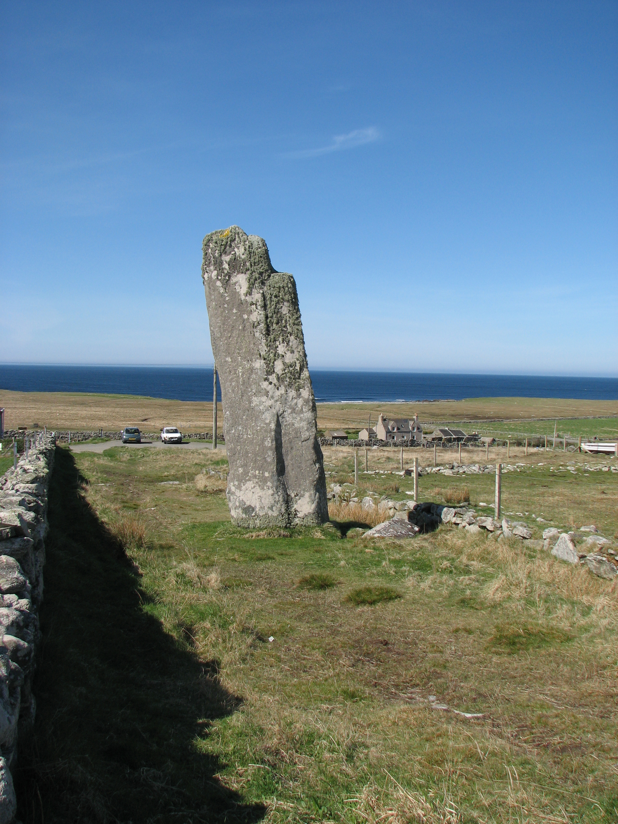
Clach an Trushal
Clach an Trushal (Scottish Gaelic: Clach an Truiseil, Scottish Gaelic pronunciation: [kʰl̪ˠax ən̪ˠ ˈt̪ʰɾuʃal], translated to English "Stone of Compassion...

Baile an Truiseil
Ballantrushal (Scottish Gaelic: Baile an Truiseil) is a village on the Isle of Lewis in the West Side district, in the Outer Hebrides, Scotland. Ballantrushal...

Barvas
Barvas (Scottish Gaelic: Barabhas or Barbhas, pronounced [baravəs]) is a settlement, community and civil parish on the Isle of Lewis in Scotland. It developed...

Mullen Bridge
Mullen Bridge is an old bridge crossing the Royal Canal in Maynooth in County Kildare, Ireland. It was built between 1790 and 1800.The bridge used to carry...
Nearby Amenities
Located within 500m of 58.389775,-6.5255334Have you been to Geodha Nighean Iain?
Leave your review of Geodha Nighean Iain below (or comments, questions and feedback).