Rubh' a' Ghèarraidh Uire

Coastal Feature, Headland, Point in Ross-shire

Scotland

Rubh' a' Ghèarraidh Uire

Rough Overgrown Track This rough overgrown track still fails to confirm that we are nearing the end of our walk out of the Park/Pairc.
Rough Overgrown Track Credit: Rude Health

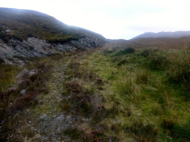
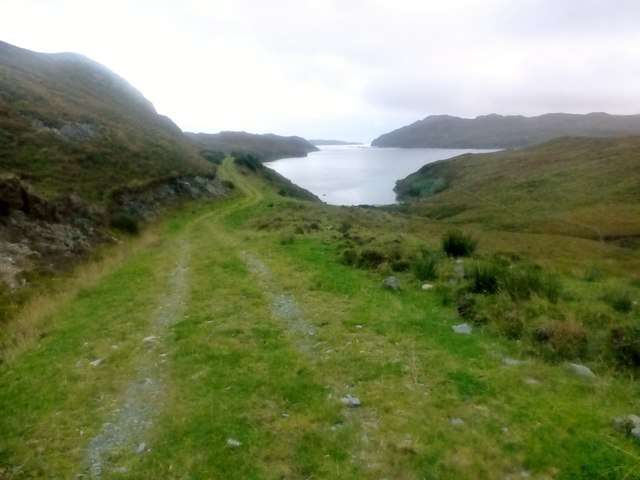
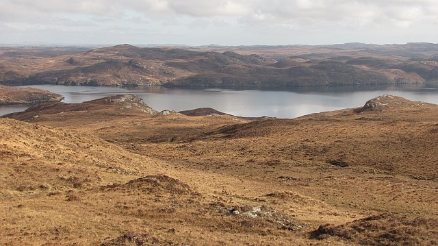
Rubh' a' Ghèarraidh Uire, located in Ross-shire, Scotland, is a captivating coastal feature that stands as a prominent headland jutting out into the sea. Also known as Rubha Gearraidh Uire, it is situated on the northwestern coast of Scotland, specifically on the eastern side of Little Loch Broom.

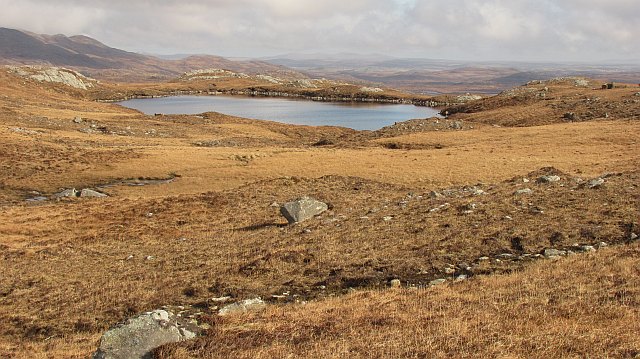
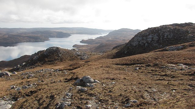
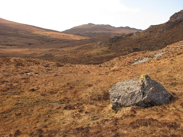
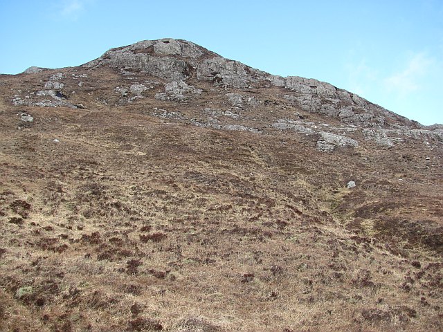
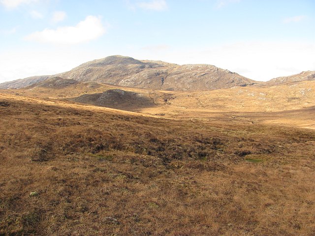
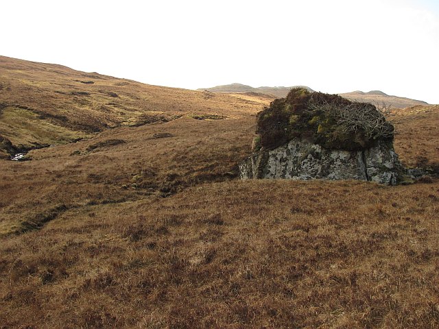
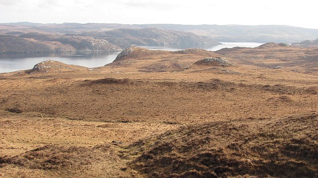
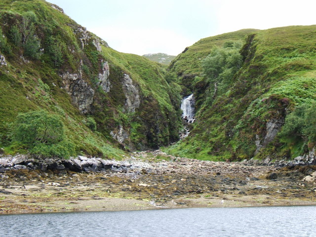
This rugged headland boasts stunning natural beauty, characterized by towering cliffs and rocky terrain. Its unique geographical location provides visitors with breathtaking views of the surrounding landscape, including the vast Atlantic Ocean and the majestic mountains of Torridon and An Teallach in the distance.

The headland is a popular spot for outdoor enthusiasts and nature lovers due to its diverse wildlife and bird populations. Visitors can often spot various seabirds such as gannets, puffins, and guillemots nesting along the cliffs, adding to the area's rich biodiversity.

Rubh' a' Ghèarraidh Uire also offers opportunities for coastal walks and hiking trails, allowing visitors to explore the headland's scenic surroundings. The rocky coastline and rugged terrain make it an ideal location for birdwatching, photography, and experiencing the raw power of the sea.

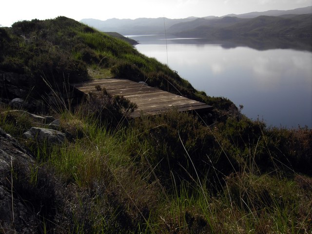
Additionally, the headland's proximity to Little Loch Broom provides opportunities for water-based activities such as fishing, kayaking, and sailing. The calm waters of the loch contrast with the wildness of the headland, offering a diverse range of experiences for visitors.

Rubh' a' Ghèarraidh Uire is a hidden gem along Scotland's northwest coast, offering a captivating blend of natural beauty, wildlife, and outdoor activities. It stands as a testament to the raw and untamed beauty of the Scottish coastline.

If you have any feedback on the listing, please let us know in the comments section below.

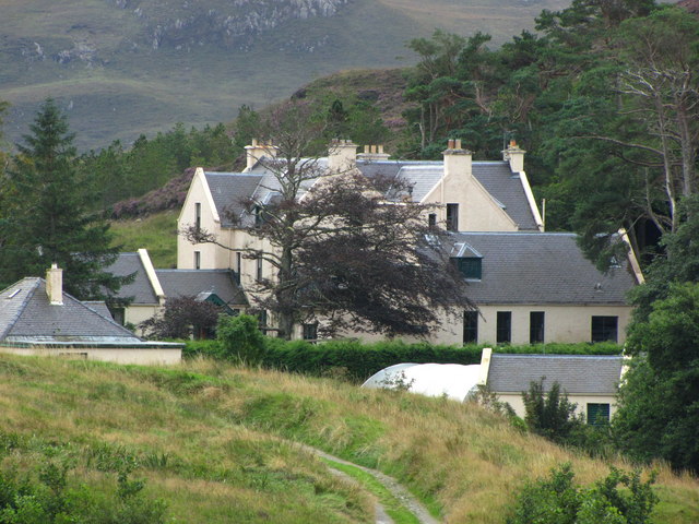
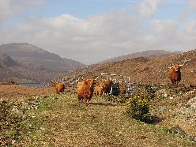
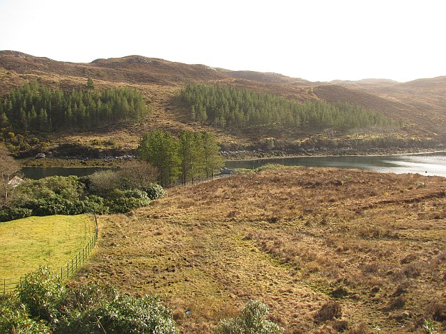
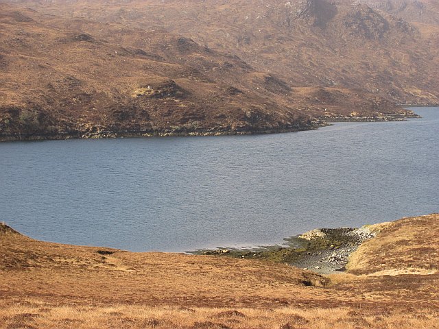
Rubh' a' Ghèarraidh Uire Images

Images are sourced within 2km of 57.999095/-6.5214503 or Grid Reference NB3210. Thanks to Geograph Open Source API. All images are credited.

Rough Overgrown Track This rough overgrown track still fails to confirm that we are nearing the end of our walk out of the Park/Pairc.
Rough Overgrown Track
This rough overgrown track still fails to confirm that we are nearing the end of our walk out of the Park/Pairc.
Coastal View Near Tòb Eisgein The track is looking better maintained as a coastal view opens up on our route to Eisgein.
Coastal View Near Tòb Eisgein
The track is looking better maintained as a coastal view opens up on our route to Eisgein.
Loch Cleit a' Ghuib Choille Lochan south of Loch Sealg. Very easy going underfoot here.
The distant view is towards Beinn Mholach near Stornoway.
Loch Cleit a' Ghuib Choille
Lochan south of Loch Sealg. Very easy going underfoot here. The distant view is towards Beinn Mholach near Stornoway.
Moorland, south of Loch Sealg Grassy slopes above Loch Sealg. The part of Pairc south of Loch Sealg is uninhabited now, but before it was cleared there were seventy families here.
Moorland, south of Loch Sealg
Grassy slopes above Loch Sealg. The part of Pairc south of Loch Sealg is uninhabited now, but before it was cleared there were seventy families here.
Garbh Allt Moorland beside the Garbh Allt, a burn flowing northwards into Loch Sealg. The inlet of Tòb Eisgein is visible across the loch.
Garbh Allt
Moorland beside the Garbh Allt, a burn flowing northwards into Loch Sealg. The inlet of Tòb Eisgein is visible across the loch.
Moorland, Abhainn Chòrlabhaidh Boulder on moorland beside the Abhainn Chòrlabhaidh. View through to Colla Cleit.
Moorland, Abhainn Chòrlabhaidh
Boulder on moorland beside the Abhainn Chòrlabhaidh. View through to Colla Cleit.
Crags, Corlabhadh Eastern slopes of Corlabhadh. This is an area of rougher ground with numerous crags.
Crags, Corlabhadh
Eastern slopes of Corlabhadh. This is an area of rougher ground with numerous crags.
Moorland beside the Abhainn Chòrlabhaidh View across moorland towards Gormol. Deer forest with a large population of red deer.
Moorland beside the Abhainn Chòrlabhaidh
View across moorland towards Gormol. Deer forest with a large population of red deer.
Boulder beside the Abhainn Chòrlabhaidh A large boulder, with a vegetated top and a rowan tree growing out of it, safe from the deer.
Boulder beside the Abhainn Chòrlabhaidh
A large boulder, with a vegetated top and a rowan tree growing out of it, safe from the deer.
Druim na Crich Moorland south of Loch Sealg. Part of the long uninhabited area (cleared) of Pairc, south of the loch.
Druim na Crich
Moorland south of Loch Sealg. Part of the long uninhabited area (cleared) of Pairc, south of the loch.
Tob Eisgein, Isle of Lewis View of boats on Tob Eisgein from the jetty at Eisgein on Loch Sealg
Tob Eisgein, Isle of Lewis
View of boats on Tob Eisgein from the jetty at Eisgein on Loch Sealg
New Bridge A new bridge over a stream flowing in to Loch Sealg.
New Bridge
A new bridge over a stream flowing in to Loch Sealg.
Allt Gil Mhic Phaic burn Showing the mouth of the Allt Gil Mhic Phaic burn flowing into Tob na Gile Moire on Loch Shell (Loch Sealg)
Allt Gil Mhic Phaic burn
Showing the mouth of the Allt Gil Mhic Phaic burn flowing into Tob na Gile Moire on Loch Shell (Loch Sealg)
Eisgein Lodge View from the estate road approaching the lodge.
Eisgein Lodge
View from the estate road approaching the lodge.
Highland cattle, Eisgein A fold of Highland cattle near the end of the estate road along Loch Sealg.
Highland cattle, Eisgein
A fold of Highland cattle near the end of the estate road along Loch Sealg.
Tòb Eisgein An inlet off Loch Sealg (Loch Shell on some maps). Around the estate buildings at Eisgein there are several maturing woodlands, absent from maps.
Tòb Eisgein
An inlet off Loch Sealg (Loch Shell on some maps). Around the estate buildings at Eisgein there are several maturing woodlands, absent from maps.
Moorland, Eisgein Moorland on the north side of Loch Sealg, looking towards Rubha na Mòine.
Moorland, Eisgein
Moorland on the north side of Loch Sealg, looking towards Rubha na Mòine.
Beach, Loch Sealg Moorland shore in Pairc. View past a small stony beach towards Gob Coille on the southern shore of Loch Sealg.
Beach, Loch Sealg
Moorland shore in Pairc. View past a small stony beach towards Gob Coille on the southern shore of Loch Sealg.
Show me another place!

Rubh' a' Ghèarraidh Uire is located at Grid Ref: NB3210 (Lat: 57.999095, Lng: -6.5214503)

Unitary Authority: Na h-Eileanan an Iar

Police Authority: Highlands and Islands

What 3 Words

///latest.hired.reservoir. Near Leurbost, Na h-Eileanan Siar

Related Wikis

Stiomrabhaig

Stiomrabhaig is an abandoned crofter's village on the Isle of Lewis in the Outer Hebrides. == History == The United Kingdom Census 1851 shows that the...

Park, Lewis

Park (Scottish Gaelic: A' Phàirc), also known as South Lochs, is a huge area of land connected to the rest of Lewis only by a narrow neck between Loch...

Orinsay

Orinsay (Scottish Gaelic: Orasaigh) is a crofting village on the Isle of Lewis in the district of Pairc, in the Outer Hebrides, Scotland. The settlement...

Eilean Liubhaird

Eilean Liubhaird or Eilean Iubhard is an island in the Outer Hebrides, to the east of Lewis. == Geography and geology == The rock is "gneiss bedrock with...

Gravir

Gravir (Scottish Gaelic: Grabhair), is a village on the shore of Loch Odhairn (a sea loch) in the Park district of the Isle of Lewis. Gravir is within...

Nearby Amenities

Located within 500m of 57.999095,-6.5214503
Created By: dmgroom_coastlines
Source: PGS
Lat/Long: 58.0001/-6.5278
Source: PGS
Lat/Long: 57.9994773/-6.5280416
Source: PGS
Lat/Long: 58.000023/-6.5267477
Source: PGS
Lat/Long: 58.0000811/-6.5259823
Source: PGS
Lat/Long: 58.0001924/-6.5250473
Source: PGS
Lat/Long: 57.9995458/-6.5242594
Created By: dmgroom_coastlines
Lat/Long: 57.99896/-6.51534
Budhanais
Place: locality
Lat/Long: 57.9987387/-6.5150809
The data included in this document is from www.openstreetmap.org. The data is made available under ODbL.

Have you been to Rubh' a' Ghèarraidh Uire?

Leave your review of Rubh' a' Ghèarraidh Uire below (or comments, questions and feedback).