Tòb na Craoibhe

Coastal Feature, Headland, Point in Ross-shire

Scotland

Tòb na Craoibhe

Sheep pens above Loch an Fheòir, Isle of Lewis
Sheep pens above Loch an Fheòir, Isle of Lewis Credit: Claire Pegrum

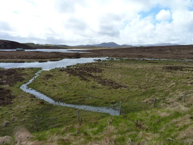
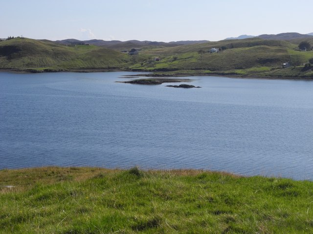
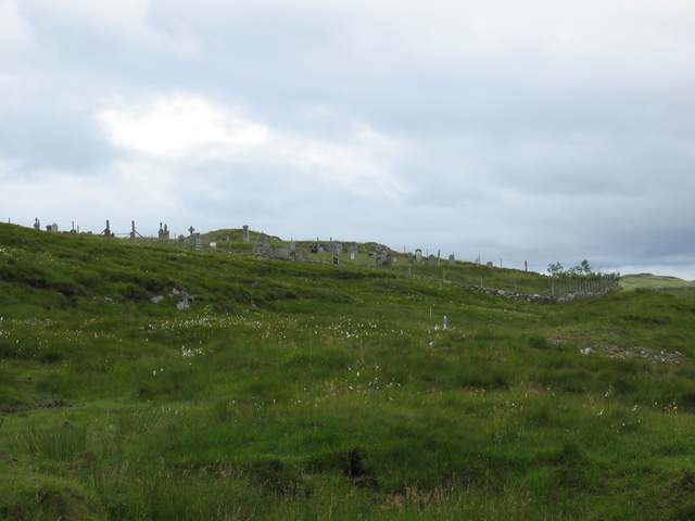
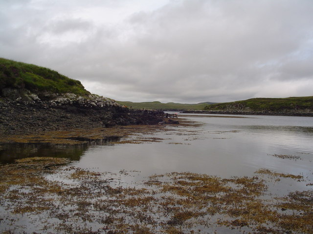
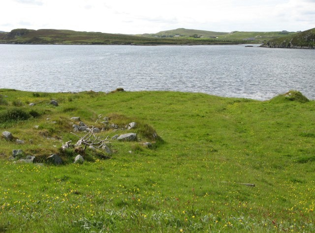
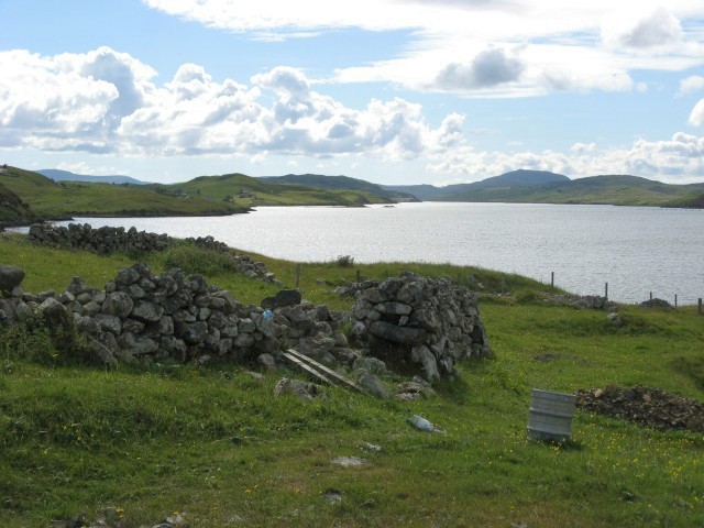
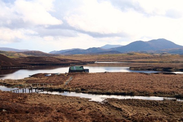
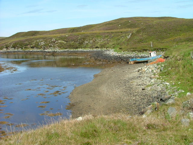
Tòb na Craoibhe is a prominent coastal feature located in Ross-shire, Scotland. It is a headland that juts out into the North Atlantic Ocean, forming a distinct point on the coastline. The headland is characterized by its rugged and rocky terrain, with cliffs that rise steeply from the sea.

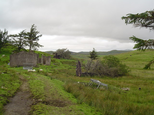
The name Tòb na Craoibhe translates to "Hill of the Trees" in Gaelic, which is fitting as the headland is dotted with sparse vegetation, including hardy shrubs and grasses. The lack of dense vegetation is likely due to the exposed nature of the headland, which is buffeted by strong winds and salt spray from the ocean.

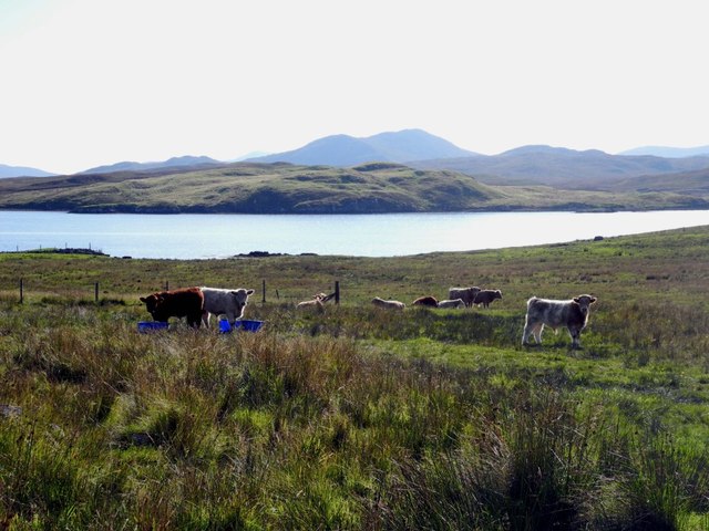
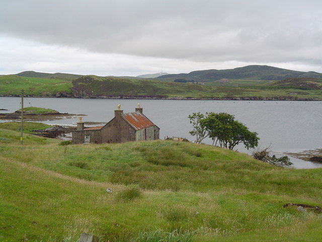
Tòb na Craoibhe offers stunning panoramic views of the surrounding coastline and the open sea. On a clear day, visitors can see the distant mountains of the Scottish Highlands to the east, while the vast expanse of the Atlantic stretches out to the west. The headland is also a popular spot for birdwatching, as it serves as a nesting site for various seabird species, including gulls and fulmars.

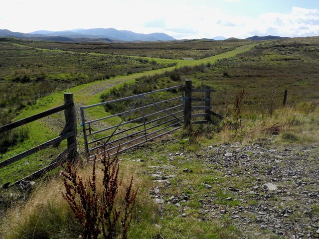
Access to Tòb na Craoibhe is relatively easy, with a well-maintained footpath leading visitors to the headland. However, caution is advised when exploring the area, as the cliffs can be unstable and dangerous. Visitors are also advised to check the tide times, as the headland can become cut off from the mainland during high tide.

Overall, Tòb na Craoibhe is a picturesque coastal feature that offers visitors a chance to experience the dramatic beauty of the Scottish coastline and observe its unique flora and fauna.

If you have any feedback on the listing, please let us know in the comments section below.

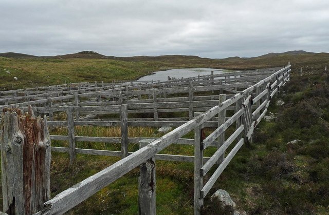
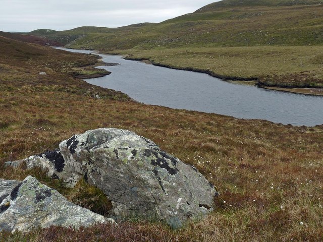
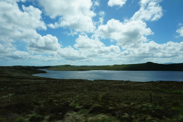
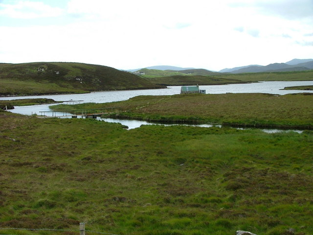
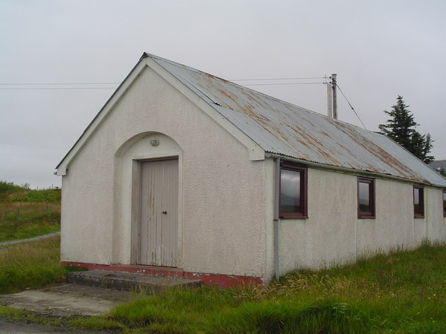
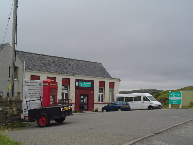
Tòb na Craoibhe Images

Images are sourced within 2km of 58.086407/-6.5396949 or Grid Reference NB3219. Thanks to Geograph Open Source API. All images are credited.

Sheep pens above Loch an Fheòir, Isle of Lewis
Loch Ealaidh, Isle of Lewis This is the narrow northern arm of the loch from which the Abhainn Ealaidh flows into Loch Èireasort, a sea loch, just over 1km to the north.
Loch Ealaidh, Isle of Lewis
This is the narrow northern arm of the loch from which the Abhainn Ealaidh flows into Loch Èireasort, a sea loch, just over 1km to the north.
Loch Bhaltois, taken from the A859
Fishing hut on Loch Bhaltois In the foreground is the Abhainn Lacasaidh as it flows into the loch
Fishing hut on Loch Bhaltois
In the foreground is the Abhainn Lacasaidh as it flows into the loch
Burn, river and loch A small burn flowing into Abhainn Lacasaidh with Loch Bhaltois in the distance.
Burn, river and loch
A small burn flowing into Abhainn Lacasaidh with Loch Bhaltois in the distance.
Sgeir Ghlas Sgeir Ghlas are little islands off the southern shore on Loch Eireasort on the Isle of Lewis.
Sgeir Ghlas
Sgeir Ghlas are little islands off the southern shore on Loch Eireasort on the Isle of Lewis.
Curious young bulls Young bulls on a meadow north of Loch Eireasort, on the Isle of Lewis
Curious young bulls
Young bulls on a meadow north of Loch Eireasort, on the Isle of Lewis
Bathtub junction An old bathtub adorns a junction in NB3120 on the Isle of Lewis. The way to the left leads south to Aird Sgrathach, the way to the right leads to Cnoc Buidhe in grid square NB3020.
Bathtub junction
An old bathtub adorns a junction in NB3120 on the Isle of Lewis. The way to the left leads south to Aird Sgrathach, the way to the right leads to Cnoc Buidhe in grid square NB3020.
Moorland at Kinloch With Kinloch Cemetery on the horizon.
Moorland at Kinloch
With Kinloch Cemetery on the horizon.
Loch Erisort Inlet A small inlet in the sea loch of Loch Erisort between Sildinish and Habost.
Loch Erisort Inlet
A small inlet in the sea loch of Loch Erisort between Sildinish and Habost.
Ruined Croft at Tabost A ruined shell of a croft house stands on a croft in Habost. The massive uprooted trees are a clue to the harsh weather experienced in the area.
Ruined Croft at Tabost
A ruined shell of a croft house stands on a croft in Habost. The massive uprooted trees are a clue to the harsh weather experienced in the area.
Derelict House, Tabost A derelict croft house on the shore of Loch Erisort. It has a corrugated tin roof common to many croft houses of this period.
Derelict House, Tabost
A derelict croft house on the shore of Loch Erisort. It has a corrugated tin roof common to many croft houses of this period.
Small Church, Habost A very small church in the village of Habost. It remains in use by the people of the village.
Small Church, Habost
A very small church in the village of Habost. It remains in use by the people of the village.
South Lochs Community Centre An old school in Cearsiader has been converted to form a community centre including tourist information and a cafe.
South Lochs Community Centre
An old school in Cearsiader has been converted to form a community centre including tourist information and a cafe.
Loch Èireasort Looking across the loch from the south, with the houses of Lacasaidh visible in the distance.
Loch Èireasort
Looking across the loch from the south, with the houses of Lacasaidh visible in the distance.
Loch Èireasort, looking west Looking over croft land towards the head of Loch Èireasort.
Loch Èireasort, looking west
Looking over croft land towards the head of Loch Èireasort.
Beinn Mhor across Loch Bhaltois A very easy photo that can be taken from the car on the main Tarbert to Stornoway road.
Beinn Mhor across Loch Bhaltois
A very easy photo that can be taken from the car on the main Tarbert to Stornoway road.
Beached boat On an inlet of Loch Eireasort.
Beached boat
On an inlet of Loch Eireasort.
Show me another place!

Tòb na Craoibhe is located at Grid Ref: NB3219 (Lat: 58.086407, Lng: -6.5396949)

Unitary Authority: Na h-Eileanan an Iar

Police Authority: Highlands and Islands

What 3 Words

///cocoons.survey.thickened. Near Leurbost, Na h-Eileanan Siar

Related Wikis

Loch Erisort

Loch Erisort (Scottish Gaelic: Èireasort) is an 8-mile-long narrow sea inlet on the east coast of the Isle of Lewis in the Outer Hebrides off the west...

Balallan

Balallan (Scottish Gaelic: Baile Ailein, Bail' Ailein), meaning "Allan's Town", is a crofting township on the Isle of Lewis, in the Outer Hebrides, Scotland...

Cabharstadh

Cabharstadh or Caversta (Scottish Gaelic: Cabharstaigh) is a village on the Isle of Lewis in the Outer Hebrides, Scotland. Caversta is situated in the...

Eilean Chaluim Chille

Eilean Chaluim Chille (Gaelic: island of Saint Columba, Calum Cille) is an unpopulated island in the Outer Hebrides. It lies off the east coast of Lewis...

Gravir

Gravir (Scottish Gaelic: Grabhair), is a village on the shore of Loch Odhairn (a sea loch) in the Park district of the Isle of Lewis. Gravir is within...

Cromore

Cromore (Scottish Gaelic: Crò Mòr) is a crofting township on the Isle of Lewis in the district of Pairc, in the Outer Hebrides, Scotland. The settlement...

Leurbost

Leurbost (Scottish Gaelic: Liùrbost) is a village on the east coast of the Isle of Lewis in the Outer Hebrides of Scotland. It is approximately 6 miles...

Crossbost

Crossbost is a village on the Isle of Lewis in the parish of North Lochs, in the Outer Hebrides, Scotland. It is located approximately ten miles away...

Nearby Amenities

Located within 500m of 58.086407,-6.5396949
Bus Stop
Habost South Lochs
Naptan AtcoCode: 6010731687
Naptan Bearing: W
Naptan CommonName: Habost South Lochs
Naptan Indicator: Habost South Lochs
Naptan Landmark: Habost South Lochs
Naptan NaptanCode: 94723735
Naptan Street: Habost South Lochs
Naptan Verified: no
Source: naptan_import
Lat/Long: 58.0844874/-6.5398789
Tàbost
Name En: Habost
Name Gd: Tàbost
Place: village
Wikidata: Q5636922
Wikipedia: en:Habost
Lat/Long: 58.084491/-6.5383072
Turning Circle
Turning Circle: knuckle
Lat/Long: 58.0867059/-6.5434827
Barrier: cattle_grid
Lat/Long: 58.0848398/-6.5429282
Turning Circle
Lat/Long: 58.0828523/-6.5354023
Barrier: cattle_grid
Lat/Long: 58.084805/-6.5338911
Power: pole
Lat/Long: 58.0843669/-6.5463083
Power: pole
Lat/Long: 58.084632/-6.5454251
Power: pole
Lat/Long: 58.0849464/-6.5444653
Power: pole
Lat/Long: 58.0857108/-6.5435792
Power: pole
Lat/Long: 58.0842766/-6.5435749
Power: pole
Lat/Long: 58.0848189/-6.5435795
Power: pole
Lat/Long: 58.0861224/-6.5435824
Power: pole
Lat/Long: 58.0864922/-6.5435913
Power: pole
Lat/Long: 58.0867789/-6.5435836
Power: pole
Lat/Long: 58.0838352/-6.5457351
Power: pole
Lat/Long: 58.083975/-6.5450295
Power: pole
Lat/Long: 58.0843067/-6.5428119
Power: pole
Lat/Long: 58.0843782/-6.5413686
Power: pole
Lat/Long: 58.0842348/-6.5401769
Power: pole
Lat/Long: 58.0840824/-6.5387829
Power: pole
Lat/Long: 58.0839643/-6.5375541
Power: pole
Lat/Long: 58.0838179/-6.5362701
Power: pole
Lat/Long: 58.0836635/-6.5348664
Power: pole
Lat/Long: 58.083525/-6.5336592
Power: pole
Lat/Long: 58.0851457/-6.5396465
Power: pole
Lat/Long: 58.0847193/-6.5394818
Power: pole
Lat/Long: 58.084559/-6.5380819
Power: pole
Lat/Long: 58.0849122/-6.5378779
Power: pole
Lat/Long: 58.0851042/-6.5342469
Power: pole
Lat/Long: 58.0851432/-6.5334626
Power: pole
Lat/Long: 58.0852159/-6.543572
Power: pole
Lat/Long: 58.084127/-6.5442961
Street Lamp
Lamp Type: electric
Lat/Long: 58.0846686/-6.5414315
Street Lamp
Lamp Type: electric
Lat/Long: 58.0845992/-6.5409299
Street Lamp
Lamp Type: electric
Lat/Long: 58.0845595/-6.5404243
Street Lamp
Lamp Type: electric
Lat/Long: 58.0845091/-6.5398316
Street Lamp
Lamp Type: electric
Lat/Long: 58.0844758/-6.539338
Street Lamp
Lamp Type: electric
Lat/Long: 58.0844368/-6.5388418
Street Lamp
Lamp Type: electric
Lat/Long: 58.0843978/-6.5383537
Street Lamp
Lamp Type: electric
Lat/Long: 58.0843513/-6.53782
Street Lamp
Lamp Type: electric
Lat/Long: 58.0843137/-6.5373225
Street Lamp
Lamp Type: electric
Lat/Long: 58.0842761/-6.5368316
Street Lamp
Lamp Type: electric
Lat/Long: 58.0842329/-6.5363448
Street Lamp
Lamp Type: electric
Lat/Long: 58.0841974/-6.5358057
Street Lamp
Lamp Type: electric
Lat/Long: 58.0842244/-6.5352773
Street Lamp
Lamp Type: electric
Lat/Long: 58.084308/-6.5347476
Street Lamp
Lamp Type: electric
Lat/Long: 58.0844243/-6.5343278
Street Lamp
Lamp Type: electric
Lat/Long: 58.0846278/-6.5333957
Street Lamp
Lamp Type: electric
Lat/Long: 58.084537/-6.5338839
Street Lamp
Lamp Type: electric
Lat/Long: 58.0846859/-6.532925
Street Lamp
Lamp Type: electric
Lat/Long: 58.0847114/-6.5324288
Street Lamp
Lamp Type: electric
Lat/Long: 58.0847795/-6.5419024
Street Lamp
Lamp Type: electric
Lat/Long: 58.0848695/-6.542353
Street Lamp
Lamp Type: electric
Lat/Long: 58.0849057/-6.5427379
Street Lamp
Lamp Type: electric
Lat/Long: 58.0848851/-6.5433843
Street Lamp
Lamp Type: electric
Lat/Long: 58.0848036/-6.5438926
Street Lamp
Lamp Type: electric
Lat/Long: 58.0846625/-6.5443727
Street Lamp
Lamp Type: electric
Lat/Long: 58.0847066/-6.5319069
The data included in this document is from www.openstreetmap.org. The data is made available under ODbL.

Have you been to Tòb na Craoibhe?

Leave your review of Tòb na Craoibhe below (or comments, questions and feedback).