Cnoc na Cliteig

Hill, Mountain in Ross-shire

Scotland

Cnoc na Cliteig

Sheep pens above Loch an Fheòir, Isle of Lewis
Sheep pens above Loch an Fheòir, Isle of Lewis Credit: Claire Pegrum

Cnoc na Cliteig, located in Ross-shire, Scotland, is a prominent hill/mountain that stands at an elevation of approximately 609 meters (2,000 feet). It lies within the wider region known as the Scottish Highlands, renowned for its breathtaking landscapes and rugged terrains.

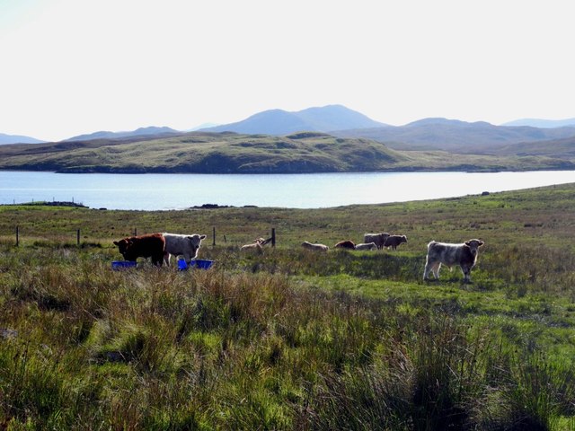
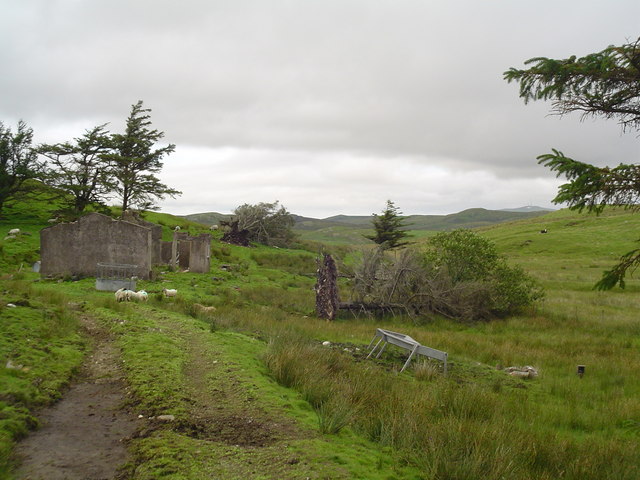
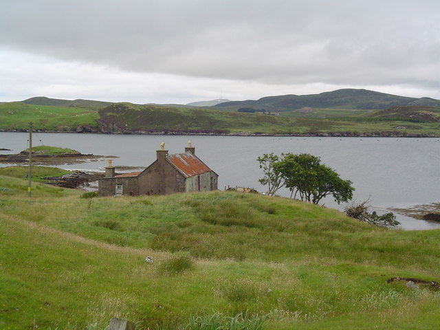
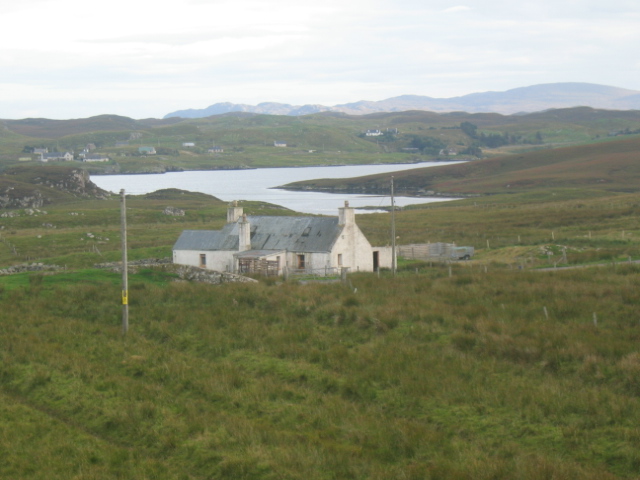
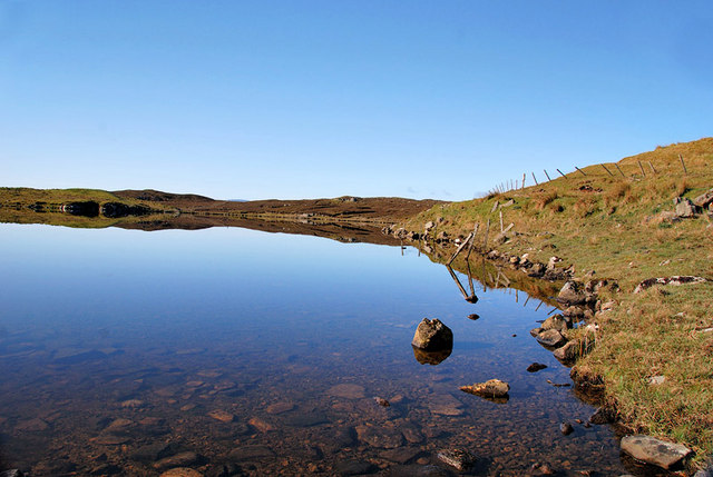
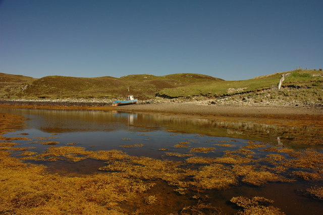
Cnoc na Cliteig is situated in a remote and sparsely populated area, surrounded by vast expanses of unspoiled natural beauty. Its position offers visitors stunning panoramic views of the surrounding landscape, including the nearby lochs and glens that characterize the region. On clear days, the hill provides breathtaking vistas of the surrounding mountains, with the peaks of Ben Wyvis and An Teallach visible in the distance.

The terrain of Cnoc na Cliteig is typically rugged and challenging, making it a popular destination for hikers and outdoor enthusiasts who enjoy a more demanding climb. The ascent to the summit can be steep in places, with rocky outcrops and uneven paths adding to the adventure. However, the effort is rewarded by the stunning views awaiting those who reach the top.

The hill is also home to a variety of flora and fauna, with heather, grasses, and wildflowers dotting its slopes. Birdwatchers may be fortunate enough to spot species such as golden eagles, kestrels, and peregrine falcons soaring in the skies above.

Overall, Cnoc na Cliteig offers an exhilarating and immersive outdoor experience for nature lovers, providing a challenging hike coupled with awe-inspiring vistas, making it a must-visit destination for those exploring the Scottish Highlands.

If you have any feedback on the listing, please let us know in the comments section below.

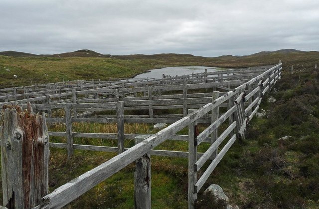
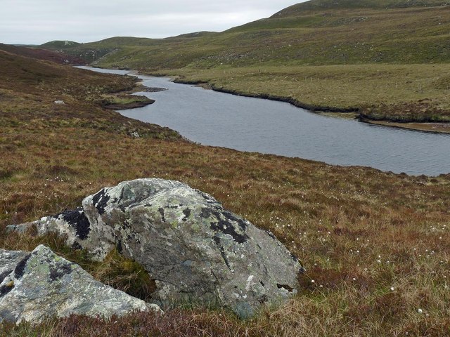
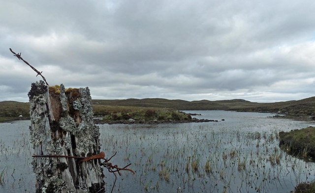
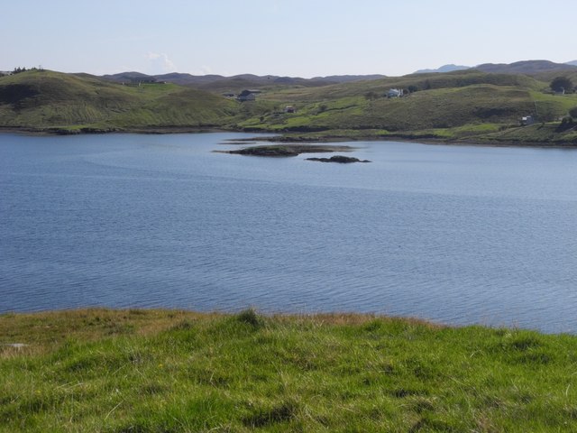
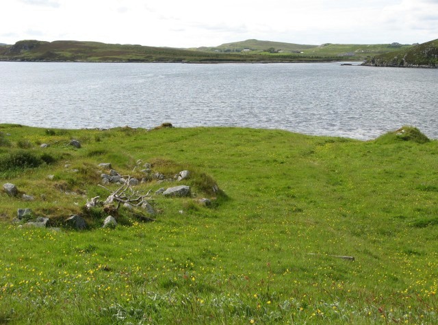
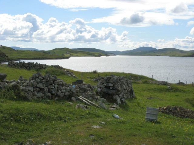
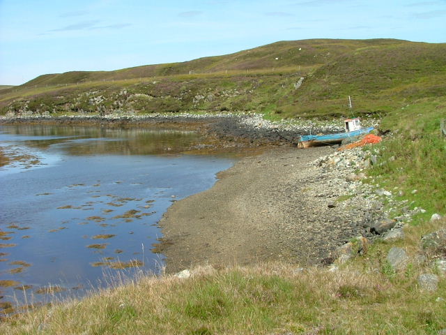
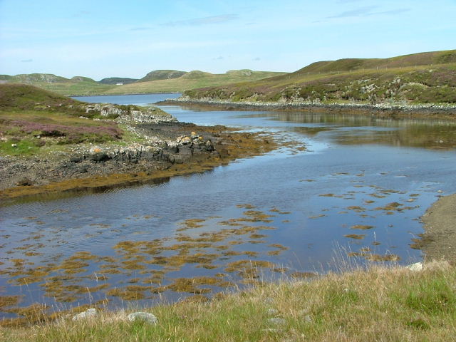
Cnoc na Cliteig Images

Images are sourced within 2km of 58.084197/-6.5333176 or Grid Reference NB3219. Thanks to Geograph Open Source API. All images are credited.

Sheep pens above Loch an Fheòir, Isle of Lewis
Loch Ealaidh, Isle of Lewis This is the narrow northern arm of the loch from which the Abhainn Ealaidh flows into Loch Èireasort, a sea loch, just over 1km to the north.
Loch Ealaidh, Isle of Lewis
This is the narrow northern arm of the loch from which the Abhainn Ealaidh flows into Loch Èireasort, a sea loch, just over 1km to the north.
Fence post by Loch Leathain, Isle of Lewis
Sgeir Ghlas Sgeir Ghlas are little islands off the southern shore on Loch Eireasort on the Isle of Lewis.
Sgeir Ghlas
Sgeir Ghlas are little islands off the southern shore on Loch Eireasort on the Isle of Lewis.
Curious young bulls Young bulls on a meadow north of Loch Eireasort, on the Isle of Lewis
Curious young bulls
Young bulls on a meadow north of Loch Eireasort, on the Isle of Lewis
Ruined Croft at Tabost A ruined shell of a croft house stands on a croft in Habost. The massive uprooted trees are a clue to the harsh weather experienced in the area.
Ruined Croft at Tabost
A ruined shell of a croft house stands on a croft in Habost. The massive uprooted trees are a clue to the harsh weather experienced in the area.
Derelict House, Tabost A derelict croft house on the shore of Loch Erisort. It has a corrugated tin roof common to many croft houses of this period.
Derelict House, Tabost
A derelict croft house on the shore of Loch Erisort. It has a corrugated tin roof common to many croft houses of this period.
Small Church, Habost A very small church in the village of Habost. It remains in use by the people of the village.
Small Church, Habost
A very small church in the village of Habost. It remains in use by the people of the village.
South Lochs Community Centre An old school in Cearsiader has been converted to form a community centre including tourist information and a cafe.
South Lochs Community Centre
An old school in Cearsiader has been converted to form a community centre including tourist information and a cafe.
Loch Èireasort Looking across the loch from the south, with the houses of Lacasaidh visible in the distance.
Loch Èireasort
Looking across the loch from the south, with the houses of Lacasaidh visible in the distance.
Loch Èireasort, looking west Looking over croft land towards the head of Loch Èireasort.
Loch Èireasort, looking west
Looking over croft land towards the head of Loch Èireasort.
Beached boat On an inlet of Loch Eireasort.
Beached boat
On an inlet of Loch Eireasort.
Inlet on Loch Eireasort
Lacasaidh Looking towards Loch Erisort which is a long fjord like sea loch. The village takes its name from old norse 'Lax' meaning salmon. Tip of Eilean Lacasaidh can be seen middle frame in line with cottage.
Lacasaidh
Looking towards Loch Erisort which is a long fjord like sea loch. The village takes its name from old norse 'Lax' meaning salmon. Tip of Eilean Lacasaidh can be seen middle frame in line with cottage.
Loch an Tairbeirt The western edge of Loch an Tairbeirt which sits just below the village of Cearsiadair.
Loch an Tairbeirt
The western edge of Loch an Tairbeirt which sits just below the village of Cearsiadair.
Inlet on Loch Erisort
Old fishing boat on Loch Erisort
Show me another place!

Cnoc na Cliteig is located at Grid Ref: NB3219 (Lat: 58.084197, Lng: -6.5333176)

Unitary Authority: Na h-Eileanan an Iar

Police Authority: Highlands and Islands

What 3 Words

///constrain.funky.commended. Near Leurbost, Na h-Eileanan Siar

Related Wikis

Loch Erisort

Loch Erisort (Scottish Gaelic: Èireasort) is an 8-mile-long narrow sea inlet on the east coast of the Isle of Lewis in the Outer Hebrides off the west...

Cabharstadh

Cabharstadh or Caversta (Scottish Gaelic: Cabharstaigh) is a village on the Isle of Lewis in the Outer Hebrides, Scotland. Caversta is situated in the...

Balallan

Balallan (Scottish Gaelic: Baile Ailein, Bail' Ailein), meaning "Allan's Town", is a crofting township on the Isle of Lewis, in the Outer Hebrides, Scotland...

Eilean Chaluim Chille

Eilean Chaluim Chille (Gaelic: island of Saint Columba, Calum Cille) is an unpopulated island in the Outer Hebrides. It lies off the east coast of Lewis...

Gravir

Gravir (Scottish Gaelic: Grabhair), is a village on the shore of Loch Odhairn (a sea loch) in the Park district of the Isle of Lewis. Gravir is within...

Cromore

Cromore (Scottish Gaelic: Crò Mòr) is a crofting township on the Isle of Lewis in the district of Pairc, in the Outer Hebrides, Scotland. The settlement...

Leurbost

Leurbost (Scottish Gaelic: Liùrbost) is a village on the east coast of the Isle of Lewis in the Outer Hebrides of Scotland. It is approximately 6 miles...

Crossbost

Crossbost is a village on the Isle of Lewis in the parish of North Lochs, in the Outer Hebrides, Scotland. It is located approximately ten miles away...

Nearby Amenities

Located within 500m of 58.084197,-6.5333176
Bus Stop
Habost South Lochs
Naptan AtcoCode: 6010731687
Naptan Bearing: W
Naptan CommonName: Habost South Lochs
Naptan Indicator: Habost South Lochs
Naptan Landmark: Habost South Lochs
Naptan NaptanCode: 94723735
Naptan Street: Habost South Lochs
Naptan Verified: no
Source: naptan_import
Lat/Long: 58.0844874/-6.5398789
Tàbost
Name En: Habost
Name Gd: Tàbost
Place: village
Wikidata: Q5636922
Wikipedia: en:Habost
Lat/Long: 58.084491/-6.5383072
Post Box
Collection Times: Mo-Fr 09:15; Sa 09:15
Operator: Royal Mail
Post Box Type: lamp
Ref: HS2 98
Royal Cypher: scottish_crown
Source: survey
Lat/Long: 58.0840405/-6.529359
Turning Circle
Lat/Long: 58.0828523/-6.5354023
Barrier: cattle_grid
Lat/Long: 58.084805/-6.5338911
Natural: stone
Note: natural or historical?
Lat/Long: 58.0824087/-6.5267842
Power: pole
Lat/Long: 58.0843782/-6.5413686
Power: pole
Lat/Long: 58.0842348/-6.5401769
Power: pole
Lat/Long: 58.0840824/-6.5387829
Power: pole
Lat/Long: 58.0839643/-6.5375541
Power: pole
Lat/Long: 58.0838179/-6.5362701
Power: pole
Lat/Long: 58.0836635/-6.5348664
Power: pole
Lat/Long: 58.083525/-6.5336592
Power: pole
Lat/Long: 58.0833825/-6.5322967
Power: pole
Lat/Long: 58.083168/-6.5308116
Power: pole
Lat/Long: 58.083362/-6.5292077
Power: pole
Lat/Long: 58.0835266/-6.5278703
Power: pole
Lat/Long: 58.0837122/-6.5264344
Power: pole
Lat/Long: 58.0838349/-6.5254474
Power: pole
Lat/Long: 58.0851457/-6.5396465
Power: pole
Lat/Long: 58.0847193/-6.5394818
Power: pole
Lat/Long: 58.084559/-6.5380819
Power: pole
Lat/Long: 58.0849122/-6.5378779
Power: pole
Lat/Long: 58.0851042/-6.5342469
Power: pole
Lat/Long: 58.0851432/-6.5334626
Power: pole
Lat/Long: 58.0846712/-6.531625
Street Lamp
Lamp Type: electric
Lat/Long: 58.0846686/-6.5414315
Street Lamp
Lamp Type: electric
Lat/Long: 58.0845992/-6.5409299
Street Lamp
Lamp Type: electric
Lat/Long: 58.0845595/-6.5404243
Street Lamp
Lamp Type: electric
Lat/Long: 58.0845091/-6.5398316
Street Lamp
Lamp Type: electric
Lat/Long: 58.0844758/-6.539338
Street Lamp
Lamp Type: electric
Lat/Long: 58.0844368/-6.5388418
Street Lamp
Lamp Type: electric
Lat/Long: 58.0843978/-6.5383537
Street Lamp
Lamp Type: electric
Lat/Long: 58.0843513/-6.53782
Street Lamp
Lamp Type: electric
Lat/Long: 58.0843137/-6.5373225
Street Lamp
Lamp Type: electric
Lat/Long: 58.0842761/-6.5368316
Street Lamp
Lamp Type: electric
Lat/Long: 58.0842329/-6.5363448
Street Lamp
Lamp Type: electric
Lat/Long: 58.0841974/-6.5358057
Street Lamp
Lamp Type: electric
Lat/Long: 58.0842244/-6.5352773
Street Lamp
Lamp Type: electric
Lat/Long: 58.084308/-6.5347476
Street Lamp
Lamp Type: electric
Lat/Long: 58.0844243/-6.5343278
Street Lamp
Lamp Type: electric
Lat/Long: 58.0846278/-6.5333957
Street Lamp
Lamp Type: electric
Lat/Long: 58.084537/-6.5338839
Street Lamp
Lamp Type: electric
Lat/Long: 58.0846859/-6.532925
Street Lamp
Lamp Type: electric
Lat/Long: 58.0847114/-6.5324288
Street Lamp
Lamp Type: electric
Lat/Long: 58.0843457/-6.5298953
Street Lamp
Lamp Type: electric
Lat/Long: 58.0842535/-6.529387
Street Lamp
Lamp Type: electric
Lat/Long: 58.0844846/-6.5303875
Street Lamp
Lamp Type: electric
Lat/Long: 58.084691/-6.5313732
Street Lamp
Lamp Type: electric
Lat/Long: 58.0846229/-6.5309024
Street Lamp
Lamp Type: electric
Lat/Long: 58.0847066/-6.5319069
Street Lamp
Lamp Type: electric
Lat/Long: 58.0847698/-6.5260606
Street Lamp
Lamp Type: electric
Lat/Long: 58.0849811/-6.5257012
Street Lamp
Lamp Type: electric
Lat/Long: 58.0852037/-6.5254571
Street Lamp
Lamp Type: electric
Lat/Long: 58.0854305/-6.5252184
Street Lamp
Lamp Type: electric
Lat/Long: 58.0846453/-6.526536
Street Lamp
Lamp Type: electric
Lat/Long: 58.084534/-6.526992
Street Lamp
Lamp Type: electric
Lat/Long: 58.0844142/-6.5274574
Street Lamp
Lamp Type: electric
Lat/Long: 58.0842994/-6.5279764
Street Lamp
Lamp Type: electric
Lat/Long: 58.0842348/-6.5284377
Street Lamp
Lamp Type: electric
Lat/Long: 58.0842242/-6.5288762
Passing Place
Lat/Long: 58.084589/-6.5297806
Power: pole
Lat/Long: 58.0849832/-6.5280367
Power: pole
Lat/Long: 58.0848684/-6.5288199
Power: pole
Lat/Long: 58.0847486/-6.5295414
Power: pole
Lat/Long: 58.0853572/-6.5280789
Power: pole
Lat/Long: 58.0862349/-6.5281835
The data included in this document is from www.openstreetmap.org. The data is made available under ODbL.

Have you been to Cnoc na Cliteig?

Leave your review of Cnoc na Cliteig below (or comments, questions and feedback).