Rubha nan Greugach
Coastal Feature, Headland, Point in Argyllshire
Scotland
Rubha nan Greugach

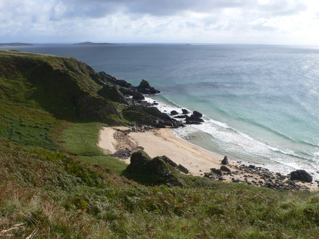
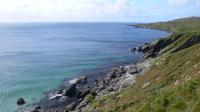
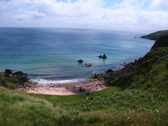
Rubha nan Greugach, located in Argyllshire, Scotland, is a prominent coastal feature known for its stunning headland and picturesque point. Situated on the western coast of the Scottish mainland, it is encompassed by the rugged beauty of the Scottish Highlands and overlooks the vast expanse of the Atlantic Ocean.
The name "Rubha nan Greugach" translates to "Point of the Witches" in Scottish Gaelic, adding an air of mystery and intrigue to the area. The headland stretches out into the sea, forming a distinct and dramatic landform that is a sight to behold. It is characterized by towering cliffs, rugged rock formations, and lush green vegetation, making it a popular destination for nature enthusiasts and photographers.
The point itself offers breathtaking panoramic views of the surrounding landscape and the endless ocean. On clear days, visitors can admire the distant islands dotting the horizon, adding to the allure of this coastal gem. The crashing waves against the cliffs create a symphony of sound, further enhancing the immersive experience of being in this wild and untamed environment.
Access to Rubha nan Greugach is limited, with only a narrow road leading to the headland. This adds to the secluded and untouched feel of the area, making it a haven for those seeking solitude and tranquility. The absence of commercial development and tourist infrastructure allows the natural beauty of Rubha nan Greugach to shine through, providing a genuine and raw experience for visitors.
In conclusion, Rubha nan Greugach in Argyllshire is a striking coastal feature renowned for its headland and point. Its rugged cliffs, stunning views, and untouched surroundings make it a must-visit destination for nature lovers and adventure seekers alike.
If you have any feedback on the listing, please let us know in the comments section below.
Rubha nan Greugach Images
Images are sourced within 2km of 55.591464/-6.2463893 or Grid Reference NR3241. Thanks to Geograph Open Source API. All images are credited.


Rubha nan Greugach is located at Grid Ref: NR3241 (Lat: 55.591464, Lng: -6.2463893)
Unitary Authority: Argyll and Bute
Police Authority: Argyll and West Dunbartonshire
What 3 Words
///mini.eyelashes.panel. Near Port Ellen, Argyll & Bute
Nearby Locations
Related Wikis

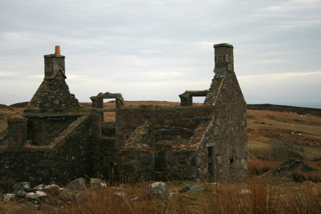
The Oa
The Oa ( OH) (Scottish Gaelic: An Obha) is a rocky peninsula in the southwest of the island of Islay, in Argyll, Scotland. It is an RSPB nature reserve...

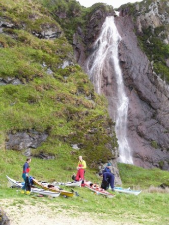
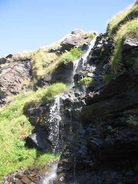
Eas Mòr, upper
Eas Mor is a waterfall is a waterfall on the Abhainn Ghil on the island of Islay in Scotland. It lies on The Oa peninsula south of Giol and west of Lenavore...
Eas Mòr, lower
Eas Mor (lower) is a waterfall on the Abhainn Ghil on the island of Islay, in Scotland. It lies on the west coast of The Oa peninsula north of Lower Killeyan...

Port Ellen distillery
Port Ellen distillery is located in Port Ellen on the isle of Islay, Scotland. It initially operated between 1825 and 1983 when production shut down....

St John's Church, Port Ellen
St John's Church, Port Ellen is a Category B listed building in Port Ellen, Islay, Argyll and Bute, Scotland. == History == The memorial stone for the...

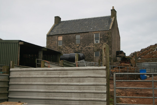
Port Ellen
Port Ellen (Scottish Gaelic: Port Ìlein) is a small town on the island of Islay, in Argyll, Scotland. The town is named after the wife of its founder,...

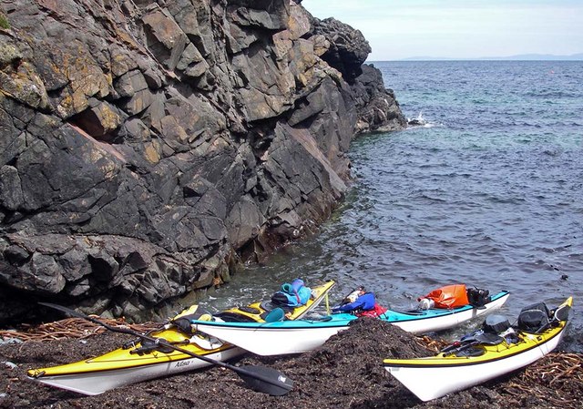
Texa
Texa (Scottish Gaelic: Teacsa) is a small island 700 metres (3⁄8 mile) directly south of Islay, in the Inner Hebrides, Scotland. It reaches a height of...

Laphroaig distillery
Laphroaig distillery ( lə-FROYG) is an Islay single malt Scotch whisky distillery. It is named after the area of land at the head of Loch Laphroaig on...
Have you been to Rubha nan Greugach?
Leave your review of Rubha nan Greugach below (or comments, questions and feedback).