Am Fidhleir
Island in Argyllshire
Scotland
Am Fidhleir

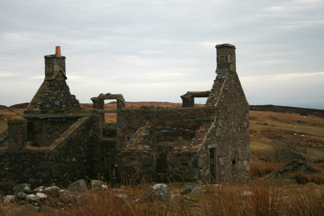
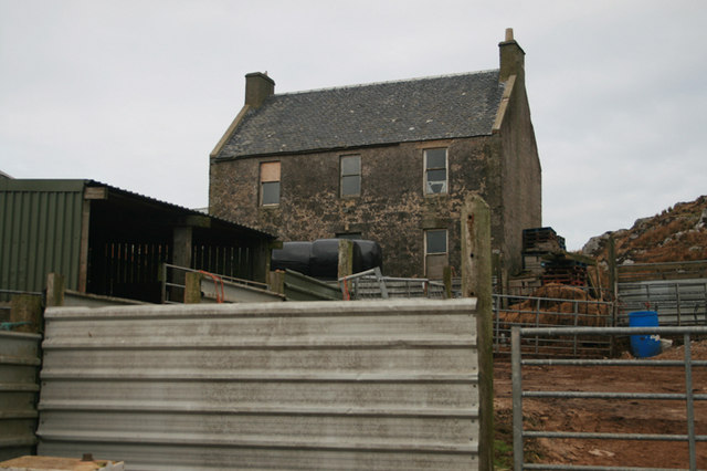
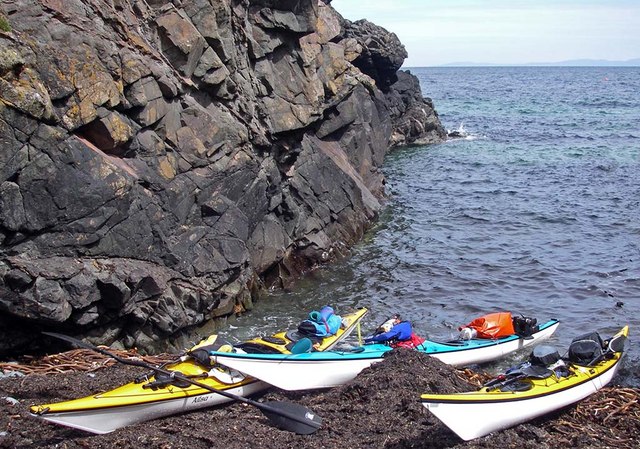
Am Fidhleir is a small island located in Argyllshire, Scotland. With an area of approximately 10 square miles, it is known for its stunning natural beauty and rich cultural heritage. The island is surrounded by the crystal-clear waters of the Atlantic Ocean, offering breathtaking views of the surrounding landscape.
Am Fidhleir is predominantly covered by lush green vegetation, comprising rolling hills, meadows, and scattered woodlands. The island's diverse wildlife includes various bird species, such as puffins and gannets, as well as otters and seals that can be spotted along its rocky shores.
The island is home to a close-knit community that prides itself on preserving and celebrating its Gaelic traditions. The residents of Am Fidhleir are renowned for their musical talents, particularly in playing the fiddle, hence the island's name which translates to "The Fiddler" in English. Traditional music and folk dances are integral parts of the island's cultural events, attracting visitors from near and far.
Am Fidhleir offers a range of outdoor activities for nature enthusiasts and adventure seekers. The island's rugged terrain is ideal for hiking, with several trails that lead to picturesque viewpoints and hidden coves. Fishing is also popular among visitors, who can try their luck in the island's abundant fishing spots.
With limited tourist infrastructure, Am Fidhleir is a peaceful and remote destination, providing an escape from the hustle and bustle of modern life. Visitors can enjoy the tranquility of the island, immerse themselves in its natural wonders, and experience the warmth and hospitality of its residents.
If you have any feedback on the listing, please let us know in the comments section below.
Am Fidhleir Images
Images are sourced within 2km of 55.589968/-6.2531995 or Grid Reference NR3241. Thanks to Geograph Open Source API. All images are credited.


Am Fidhleir is located at Grid Ref: NR3241 (Lat: 55.589968, Lng: -6.2531995)
Unitary Authority: Argyll and Bute
Police Authority: Argyll and West Dunbartonshire
What 3 Words
///siesta.microchip.mentioned. Near Port Ellen, Argyll & Bute
Related Wikis

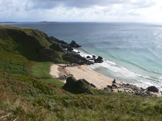
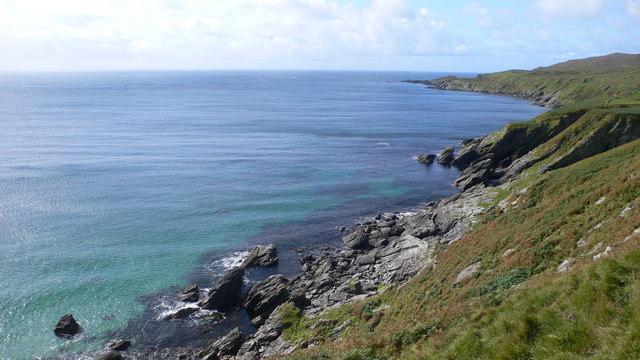
The Oa
The Oa ( OH) (Scottish Gaelic: An Obha) is a rocky peninsula in the southwest of the island of Islay, in Argyll, Scotland. It is an RSPB nature reserve...

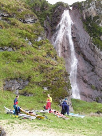
Eas Mòr, upper
Eas Mor is a waterfall is a waterfall on the Abhainn Ghil on the island of Islay in Scotland. It lies on The Oa peninsula south of Giol and west of Lenavore...
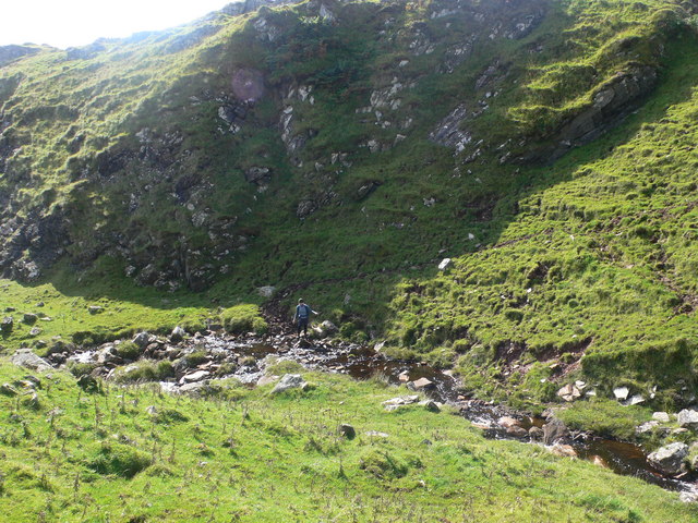
Eas Mòr, lower
Eas Mor (lower) is a waterfall on the Abhainn Ghil on the island of Islay, in Scotland. It lies on the west coast of The Oa peninsula north of Lower Killeyan...

Port Ellen distillery
Port Ellen distillery is located in Port Ellen on the isle of Islay, Scotland. It initially operated between 1825 and 1983 when production shut down....

St John's Church, Port Ellen
St John's Church, Port Ellen is a Category B listed building in Port Ellen, Islay, Argyll and Bute, Scotland. == History == The memorial stone for the...

Port Ellen
Port Ellen (Scottish Gaelic: Port Ìlein) is a small town on the island of Islay, in Argyll, Scotland. The town is named after the wife of its founder,...

Texa
Texa (Scottish Gaelic: Teacsa) is a small island 700 metres (3⁄8 mile) directly south of Islay, in the Inner Hebrides, Scotland. It reaches a height of...

Laphroaig distillery
Laphroaig distillery ( lə-FROYG) is an Islay single malt Scotch whisky distillery. It is named after the area of land at the head of Loch Laphroaig on...
Have you been to Am Fidhleir?
Leave your review of Am Fidhleir below (or comments, questions and feedback).