Cnoc an Rathaid
Hill, Mountain in Ross-shire
Scotland
Cnoc an Rathaid
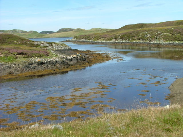
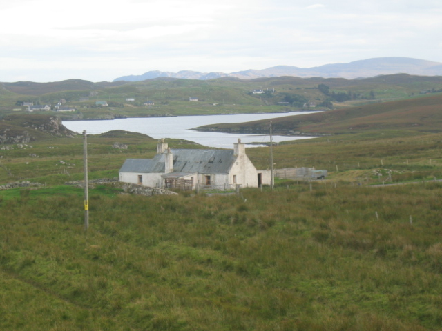
Cnoc an Rathaid, located in Ross-shire, is a prominent hill in the Scottish Highlands. Rising to an elevation of approximately 407 meters (1,335 feet), it offers breathtaking panoramic views of the surrounding landscape. The hill is situated in a remote and picturesque area, making it a popular destination for hikers, nature enthusiasts, and photographers.
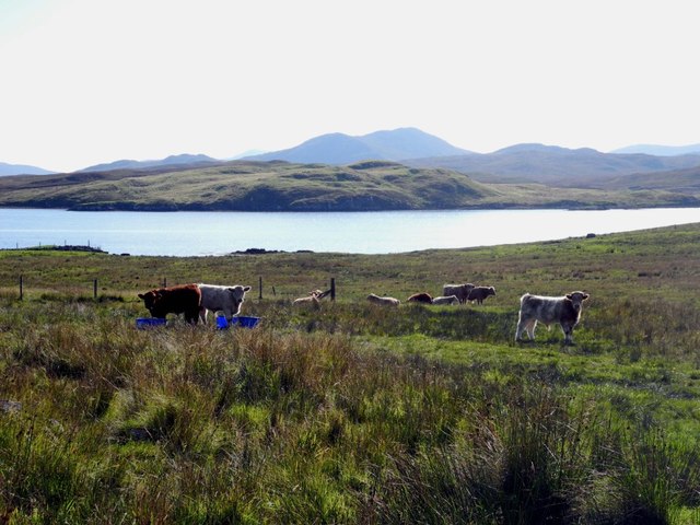
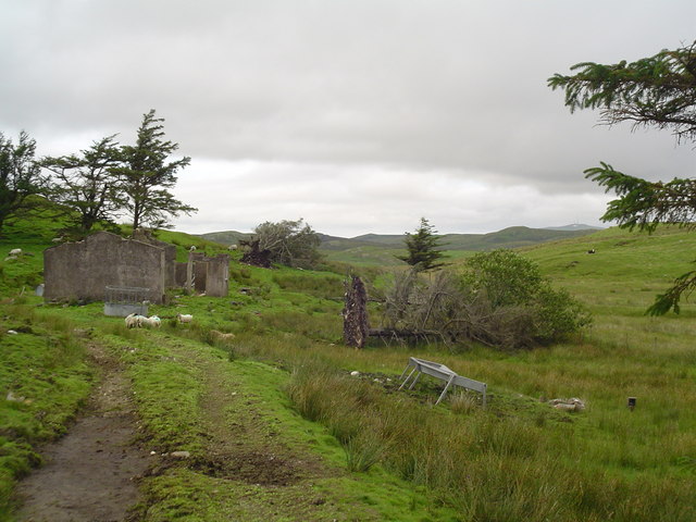
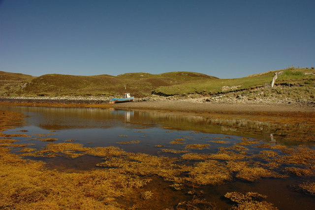
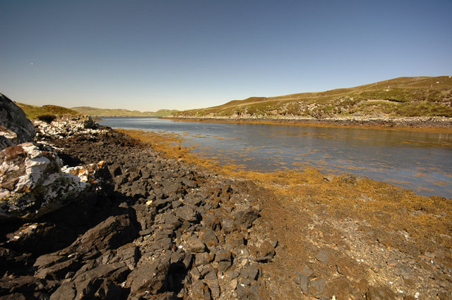
Cnoc an Rathaid is characterized by its rugged terrain, which features a combination of grassy slopes, rocky outcrops, and heather-covered moorland. The hill is home to a diverse range of flora and fauna, including various species of wildflowers, birds, and small mammals.
The ascent to the summit of Cnoc an Rathaid is relatively challenging but rewarding. While there is no designated hiking trail, visitors can choose from multiple routes, each offering different levels of difficulty. The hill provides an excellent opportunity for outdoor activities such as hillwalking, birdwatching, and landscape photography.
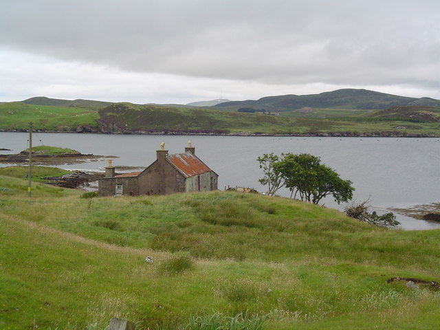
From the top of Cnoc an Rathaid, visitors can enjoy stunning vistas of the surrounding countryside, including the nearby lochs, glens, and distant mountain ranges. On clear days, it is even possible to catch a glimpse of the Isle of Skye.
Despite its remote location, Cnoc an Rathaid is easily accessible by car, with a parking area located at the base of the hill. Visitors are advised to come prepared with appropriate footwear, warm clothing, and a map or compass, as the terrain can be challenging and weather conditions in the Highlands can change rapidly.
If you have any feedback on the listing, please let us know in the comments section below.
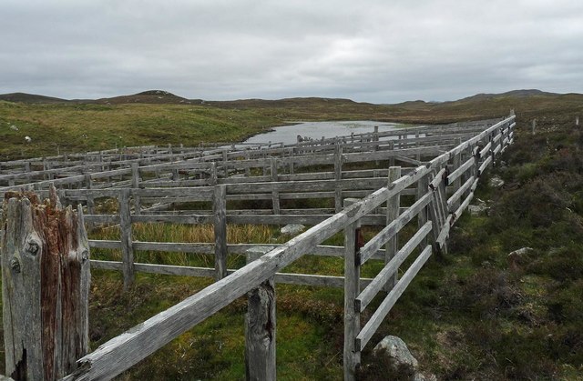
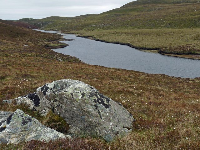
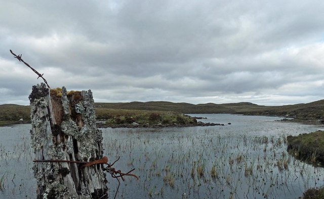
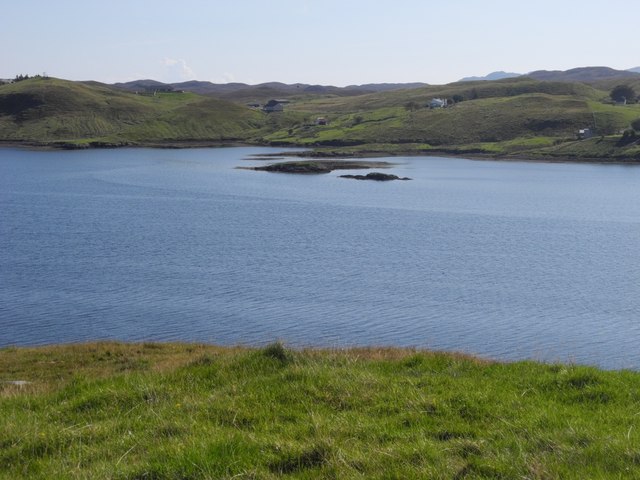
Cnoc an Rathaid Images
Images are sourced within 2km of 58.085307/-6.5344775 or Grid Reference NB3219. Thanks to Geograph Open Source API. All images are credited.

Cnoc an Rathaid is located at Grid Ref: NB3219 (Lat: 58.085307, Lng: -6.5344775)
Unitary Authority: Na h-Eileanan an Iar
Police Authority: Highlands and Islands
What 3 Words
///boot.worms.intensely. Near Leurbost, Na h-Eileanan Siar
Related Wikis

Loch Erisort
Loch Erisort (Scottish Gaelic: Èireasort) is an 8-mile-long narrow sea inlet on the east coast of the Isle of Lewis in the Outer Hebrides off the west...

Cabharstadh
Cabharstadh or Caversta (Scottish Gaelic: Cabharstaigh) is a village on the Isle of Lewis in the Outer Hebrides, Scotland. Caversta is situated in the...

Balallan
Balallan (Scottish Gaelic: Baile Ailein, Bail' Ailein), meaning "Allan's Town", is a crofting township on the Isle of Lewis, in the Outer Hebrides, Scotland...
Eilean Chaluim Chille
Eilean Chaluim Chille (Gaelic: island of Saint Columba, Calum Cille) is an unpopulated island in the Outer Hebrides. It lies off the east coast of Lewis...

Gravir
Gravir (Scottish Gaelic: Grabhair), is a village on the shore of Loch Odhairn (a sea loch) in the Park district of the Isle of Lewis. Gravir is within...

Cromore
Cromore (Scottish Gaelic: Crò Mòr) is a crofting township on the Isle of Lewis in the district of Pairc, in the Outer Hebrides, Scotland. The settlement...

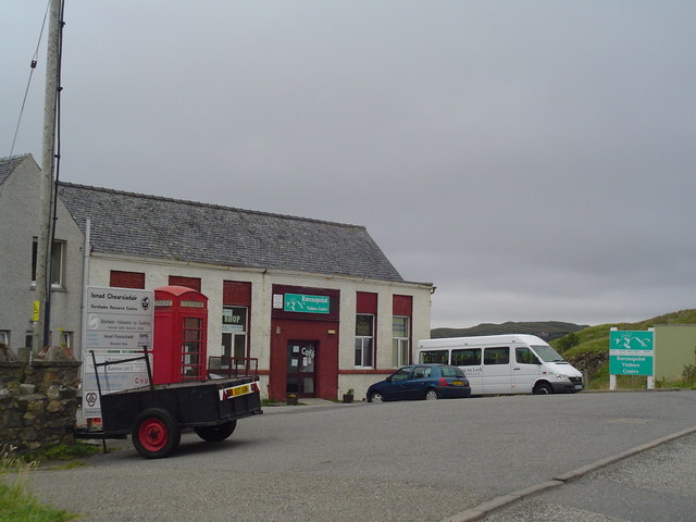
Leurbost
Leurbost (Scottish Gaelic: Liùrbost) is a village on the east coast of the Isle of Lewis in the Outer Hebrides of Scotland. It is approximately 6 miles...
Crossbost
Crossbost is a village on the Isle of Lewis in the parish of North Lochs, in the Outer Hebrides, Scotland. It is located approximately ten miles away...
Nearby Amenities
Located within 500m of 58.085307,-6.5344775Have you been to Cnoc an Rathaid?
Leave your review of Cnoc an Rathaid below (or comments, questions and feedback).