Buaile a' Chèirein
Coastal Feature, Headland, Point in Ross-shire
Scotland
Buaile a' Chèirein
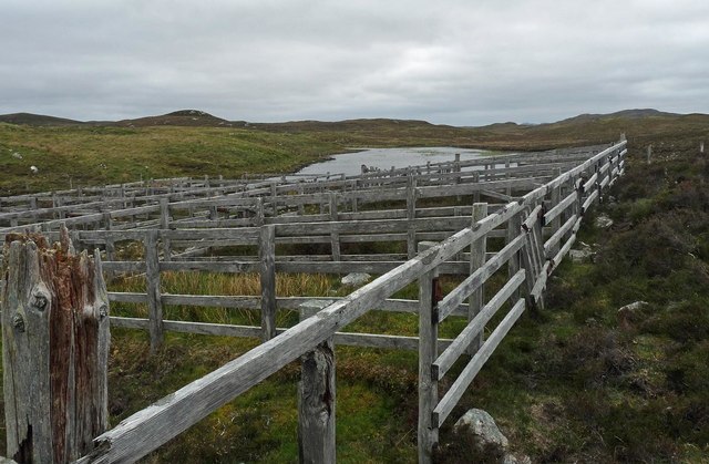
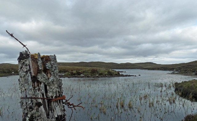
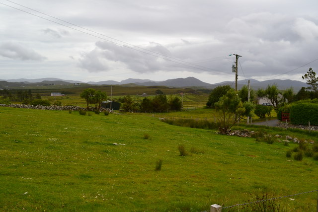
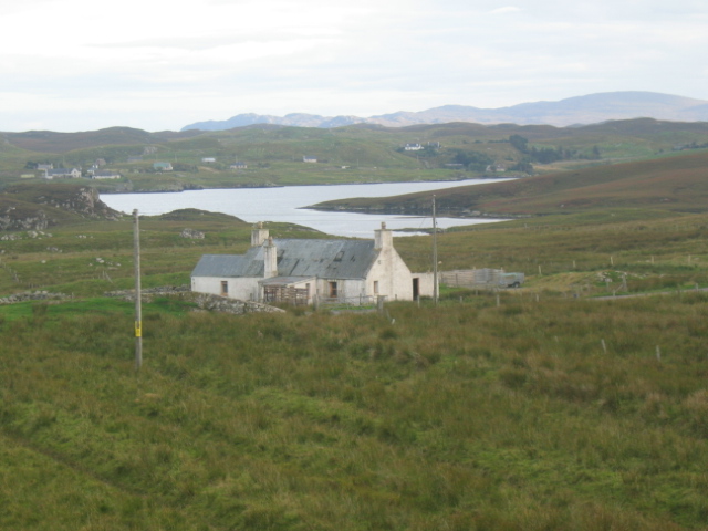
Buaile a' Chèirein is a prominent coastal feature located in the county of Ross-shire, Scotland. Situated on the northwestern coast of the country, it is a headland that juts out into the North Atlantic Ocean. The name "Buaile a' Chèirein" is Gaelic in origin and translates to "the field of the little sheepfold."
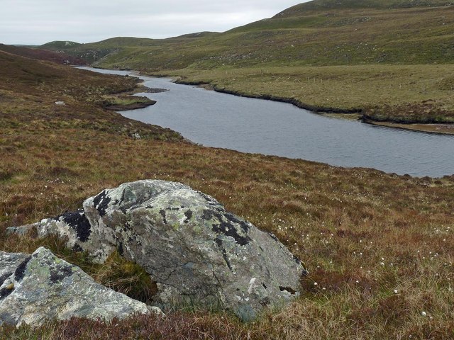
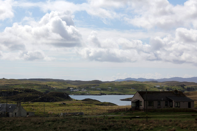
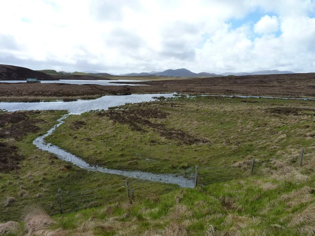
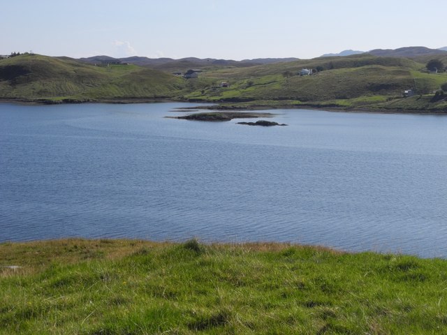
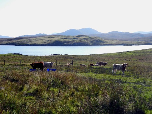
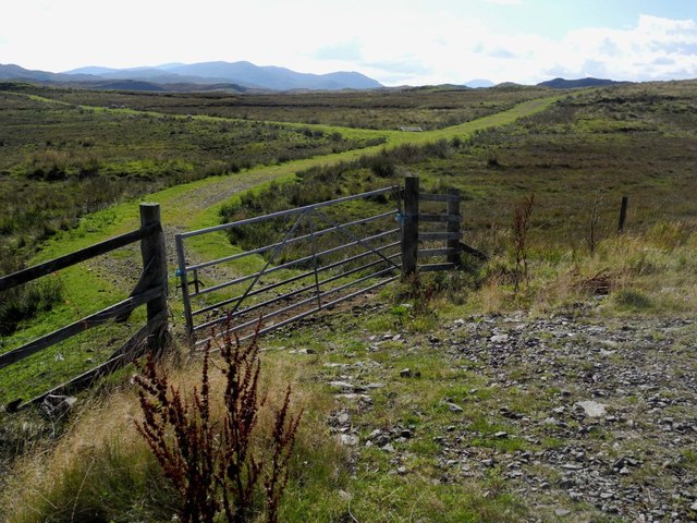
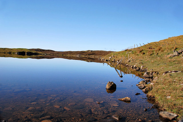
This headland offers breathtaking views of the surrounding landscape, with its rugged cliffs and dramatic coastline. It is a popular spot for hikers and nature enthusiasts due to its stunning natural beauty. The headland is characterized by its rocky terrain and steep cliffs, which provide nesting grounds for various seabirds such as puffins, guillemots, and razorbills.
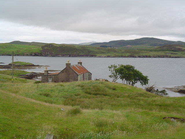
Buaile a' Chèirein also serves as a landmark for seafarers, guiding ships along the coast. Its elevated position offers sweeping panoramic views of the ocean and the neighboring countryside. On a clear day, one can see the Isle of Skye and the Outer Hebrides in the distance.
The headland is accessible via a network of hiking trails that wind their way through the surrounding countryside. These paths provide visitors with an opportunity to explore the diverse flora and fauna of the area, including heather, gorse, and various species of wildflowers.
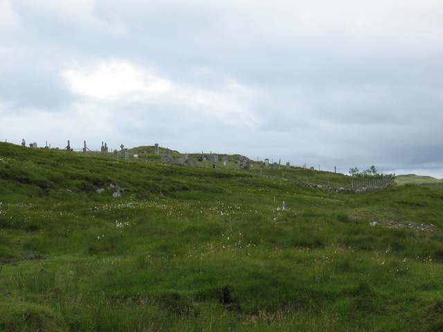
Overall, Buaile a' Chèirein is a picturesque and awe-inspiring coastal feature in Ross-shire, offering a unique blend of natural beauty, wildlife, and historical significance. Whether you are a nature lover, a hiker, or simply seeking tranquility, this headland is a must-visit destination on Scotland's northwestern coast.
If you have any feedback on the listing, please let us know in the comments section below.
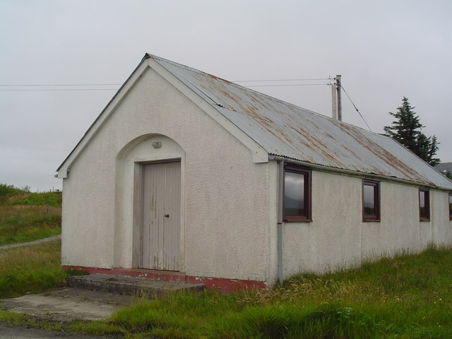
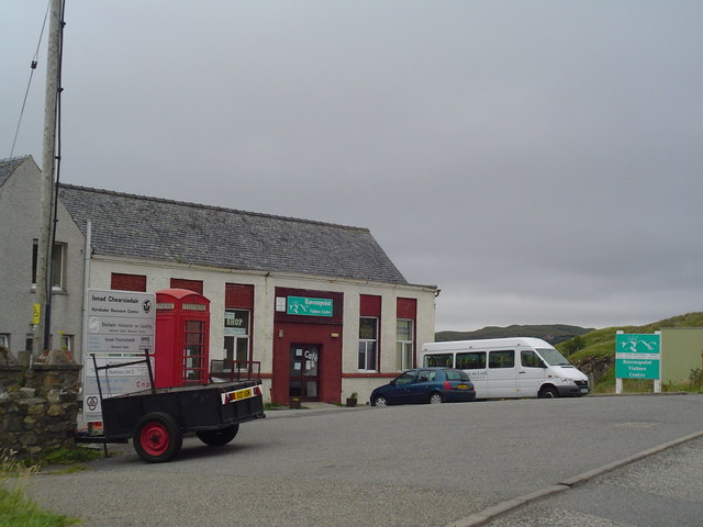
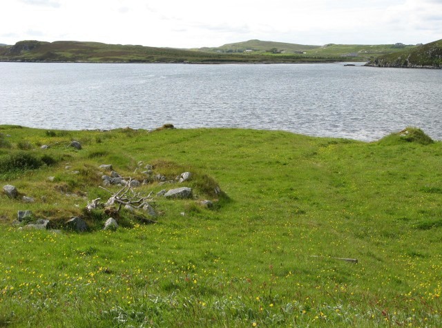
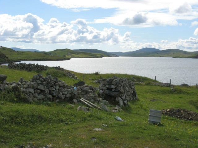
Buaile a' Chèirein Images
Images are sourced within 2km of 58.08769/-6.533235 or Grid Reference NB3219. Thanks to Geograph Open Source API. All images are credited.
Buaile a' Chèirein is located at Grid Ref: NB3219 (Lat: 58.08769, Lng: -6.533235)
Unitary Authority: Na h-Eileanan an Iar
Police Authority: Highlands and Islands
What 3 Words
///invisible.royal.sheds. Near Leurbost, Na h-Eileanan Siar
Related Wikis

Loch Erisort
Loch Erisort (Scottish Gaelic: Èireasort) is an 8-mile-long narrow sea inlet on the east coast of the Isle of Lewis in the Outer Hebrides off the west...

Cabharstadh
Cabharstadh or Caversta (Scottish Gaelic: Cabharstaigh) is a village on the Isle of Lewis in the Outer Hebrides, Scotland. Caversta is situated in the...

Balallan
Balallan (Scottish Gaelic: Baile Ailein, Bail' Ailein), meaning "Allan's Town", is a crofting township on the Isle of Lewis, in the Outer Hebrides, Scotland...
Eilean Chaluim Chille
Eilean Chaluim Chille (Gaelic: island of Saint Columba, Calum Cille) is an unpopulated island in the Outer Hebrides. It lies off the east coast of Lewis...

Gravir
Gravir (Scottish Gaelic: Grabhair), is a village on the shore of Loch Odhairn (a sea loch) in the Park district of the Isle of Lewis. Gravir is within...

Cromore
Cromore (Scottish Gaelic: Crò Mòr) is a crofting township on the Isle of Lewis in the district of Pairc, in the Outer Hebrides, Scotland. The settlement...

Leurbost
Leurbost (Scottish Gaelic: Liùrbost) is a village on the east coast of the Isle of Lewis in the Outer Hebrides of Scotland. It is approximately 6 miles...
Crossbost
Crossbost is a village on the Isle of Lewis in the parish of North Lochs, in the Outer Hebrides, Scotland. It is located approximately ten miles away...
Nearby Amenities
Located within 500m of 58.08769,-6.533235Have you been to Buaile a' Chèirein?
Leave your review of Buaile a' Chèirein below (or comments, questions and feedback).