Geodha Fuar
Coastal Feature, Headland, Point in Argyllshire
Scotland
Geodha Fuar

Geodha Fuar is a prominent coastal feature located in Argyllshire, Scotland. It is classified as a headland or point due to its jutting peninsula shape, extending out into the sea. The name "Geodha Fuar" translates to "cold creek" in Gaelic, which is a fitting description of the area's exposed and windswept nature.
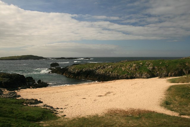
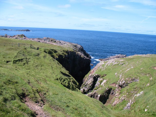
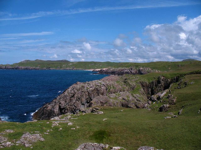
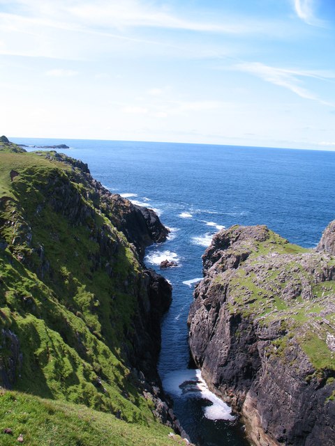
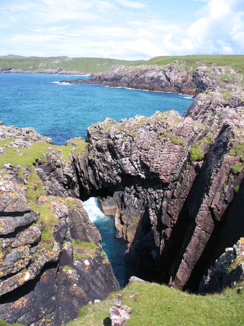
Situated along the western coast of Argyllshire, Geodha Fuar offers breathtaking vistas of the surrounding landscape. It is characterized by towering cliffs that drop steeply into the sea below, creating a dramatic and rugged coastline. The headland is made up of a combination of rock formations, including slate and granite, which have been shaped by the relentless power of the ocean waves over centuries.
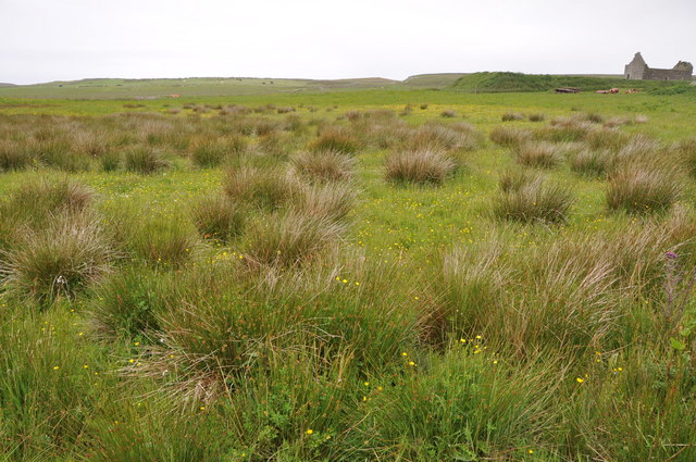
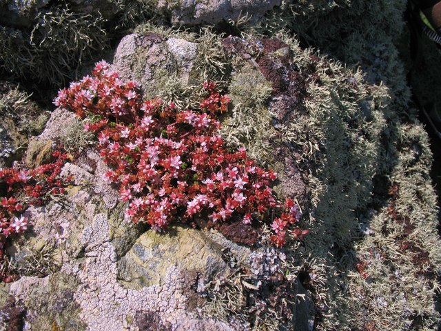
The area surrounding Geodha Fuar is a haven for wildlife enthusiasts and nature lovers. Seabirds such as gannets, puffins, and guillemots can be spotted nesting along the cliffs, while seals and dolphins frequent the waters. The coastal heathland is also home to a variety of plant species, including wildflowers and grasses.
Access to Geodha Fuar is relatively challenging, with no direct road leading to the headland. However, adventurous hikers can embark on a scenic coastal trail that winds its way along the cliffs, offering unparalleled views of the surrounding seascape. It is recommended for visitors to come prepared with appropriate outdoor gear and to exercise caution due to the steep and uneven terrain.
Geodha Fuar is a captivating coastal feature that showcases the raw beauty of Scotland's rugged coastline. Its dramatic cliffs, diverse wildlife, and challenging access make it a must-visit destination for those seeking an authentic and adventurous outdoor experience.
If you have any feedback on the listing, please let us know in the comments section below.
Geodha Fuar Images
Images are sourced within 2km of 55.695052/-6.5216924 or Grid Reference NR1553. Thanks to Geograph Open Source API. All images are credited.


Geodha Fuar is located at Grid Ref: NR1553 (Lat: 55.695052, Lng: -6.5216924)
Unitary Authority: Argyll and Bute
Police Authority: Argyll and West Dunbartonshire
What 3 Words
///topped.hammocks.spellings. Near Portnahaven, Argyll & Bute
Related Wikis

Islay LIMPET
Islay LIMPET was the world's first commercial wave power device and was connected to the United Kingdom's National Grid. == History == Islay LIMPET (Land...

Eilean Mhic Coinnich
Eilean Mhic Coinnich, also known as Mackenzie Island (although recorded on the Land Register as McKenseys Island), is an uninhabited island of 17.3 hectares...

Portnahaven
Portnahaven (Scottish Gaelic: Port na h-Abhainne, meaning river port) is a village on Islay in the Inner Hebrides, Scotland. The village is within the...

Orsay, Inner Hebrides
Orsay (Scottish Gaelic: Orasaigh) is a small island in the Inner Hebrides of Scotland. It lies a short distance off the west coast of the island of Islay...
Nearby Amenities
Located within 500m of 55.695052,-6.5216924Have you been to Geodha Fuar?
Leave your review of Geodha Fuar below (or comments, questions and feedback).