Rubha an Aontain
Coastal Feature, Headland, Point in Argyllshire
Scotland
Rubha an Aontain

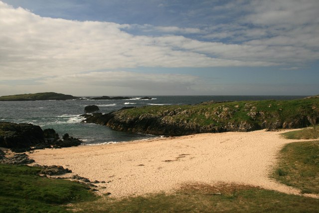
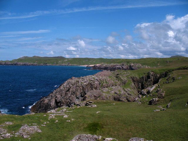
Rubha an Aontain is a prominent headland located in Argyllshire, Scotland. Situated on the west coast of the country, this coastal feature juts out into the Atlantic Ocean, offering breathtaking views of the surrounding landscape.
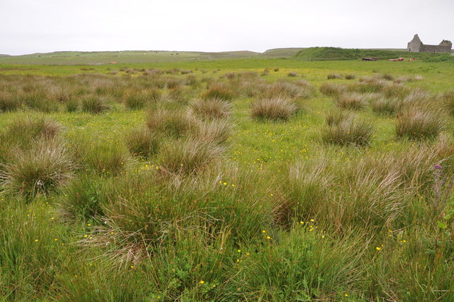
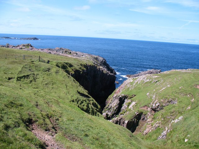
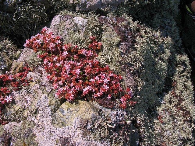
Covered in lush green vegetation, the headland is characterized by its rugged cliffs and rocky outcrops. These geological formations provide a habitat for a diverse range of plant and animal species, making it a popular spot for nature enthusiasts and wildlife lovers.
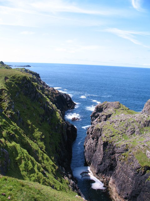
The headland is known for its dramatic coastal scenery, with towering cliffs that plunge into the deep blue waters below. These cliffs are often weathered by the powerful waves and winds that batter the area, creating unique rock formations and caves.
Rubha an Aontain is also home to a variety of marine life. Seals can often be spotted basking on the rocky shores, while seabirds soar above, including gulls, cormorants, and puffins. The surrounding waters are teeming with fish, making it a popular spot for anglers.
Visitors to Rubha an Aontain can enjoy breathtaking coastal walks along the headland, taking in the stunning panoramic views. The headland is easily accessible, with a well-maintained path leading to its summit. From the top, visitors can take in the sweeping vistas of the Atlantic Ocean, nearby islands, and the rugged coastline.
Overall, Rubha an Aontain is a picturesque headland offering a unique combination of natural beauty, diverse wildlife, and stunning coastal scenery. It is a must-visit destination for those seeking a true taste of the Scottish coastline.
If you have any feedback on the listing, please let us know in the comments section below.
Rubha an Aontain Images
Images are sourced within 2km of 55.693735/-6.5259198 or Grid Reference NR1553. Thanks to Geograph Open Source API. All images are credited.


Rubha an Aontain is located at Grid Ref: NR1553 (Lat: 55.693735, Lng: -6.5259198)
Unitary Authority: Argyll and Bute
Police Authority: Argyll and West Dunbartonshire
What 3 Words
///profited.ushering.bleaker. Near Portnahaven, Argyll & Bute
Related Wikis

Islay LIMPET
Islay LIMPET was the world's first commercial wave power device and was connected to the United Kingdom's National Grid. == History == Islay LIMPET (Land...

Eilean Mhic Coinnich
Eilean Mhic Coinnich, also known as Mackenzie Island (although recorded on the Land Register as McKenseys Island), is an uninhabited island of 17.3 hectares...

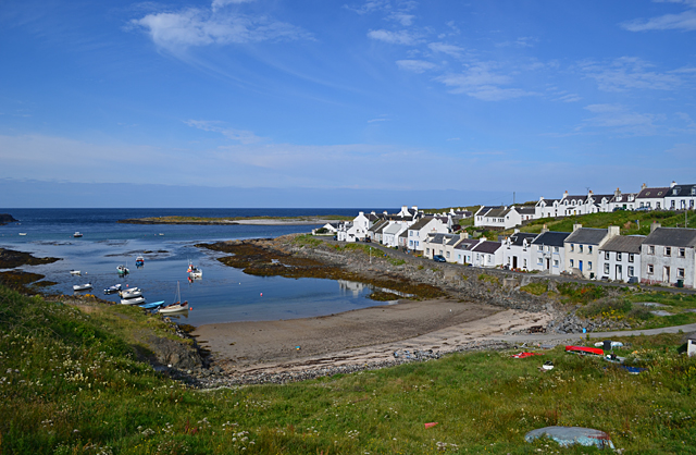
Portnahaven
Portnahaven (Scottish Gaelic: Port na h-Abhainne, meaning river port) is a village on Islay in the Inner Hebrides, Scotland. The village is within the...

Orsay, Inner Hebrides
Orsay (Scottish Gaelic: Orasaigh) is a small island in the Inner Hebrides of Scotland. It lies a short distance off the west coast of the island of Islay...
Have you been to Rubha an Aontain?
Leave your review of Rubha an Aontain below (or comments, questions and feedback).