Sgeir nan Eisirean
Coastal Feature, Headland, Point in Ross-shire
Scotland
Sgeir nan Eisirean

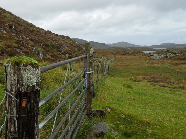
Sgeir nan Eisirean is a prominent coastal feature located in Ross-shire, Scotland. It is a headland or point that juts out into the North Atlantic Ocean, offering stunning views and a unique geological landscape.
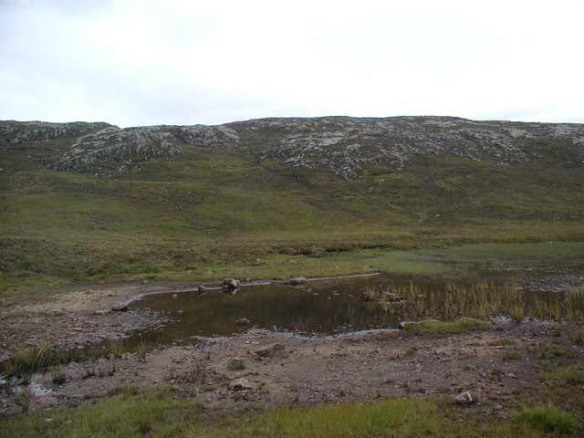
Situated on the northwest coast of Scotland, Sgeir nan Eisirean is known for its rugged beauty and dramatic cliffs that rise up from the sea. The headland is characterized by its steep and rocky terrain, which is a result of millions of years of erosion by the powerful waves and winds of the Atlantic Ocean.
The name "Sgeir nan Eisirean" translates to "Stack of the Shian" in English, referring to the rock stacks that can be found in the area. These stacks are formed when softer rock is eroded away, leaving behind isolated columns of harder rock that stand tall against the crashing waves.
The headland is a haven for various species of seabirds, including puffins, razorbills, and guillemots. These birds nest and breed on the cliffs, creating a vibrant and bustling colony during the breeding season. The area is also known for its rich marine life, with seals often seen lounging on the rocks and dolphins occasionally spotted offshore.
Sgeir nan Eisirean is a popular spot for hikers and nature enthusiasts who come to admire the breathtaking coastal scenery and observe the diverse wildlife. It offers a peaceful and secluded environment, allowing visitors to escape from the hustle and bustle of everyday life and immerse themselves in the beauty of nature.
If you have any feedback on the listing, please let us know in the comments section below.
Sgeir nan Eisirean Images
Images are sourced within 2km of 58.126579/-6.8699405 or Grid Reference NB1325. Thanks to Geograph Open Source API. All images are credited.


Sgeir nan Eisirean is located at Grid Ref: NB1325 (Lat: 58.126579, Lng: -6.8699405)
Unitary Authority: Na h-Eileanan an Iar
Police Authority: Highlands and Islands
What 3 Words
///camcorder.tells.drew. Near Carloway, Na h-Eileanan Siar
Nearby Locations
Related Wikis

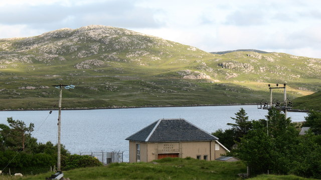
Gisla Hydro-Electric Scheme
Gisla Hydro-Electric Scheme was a small scheme promoted by the North of Scotland Hydro-Electric Board on the Isle of Lewis, Outer Hebrides, Scotland. It...

Fuaigh Beag
Fuaigh Beag or Vuia Be(a)g is an island in the Outer Hebrides. It is off the west coast of Lewis near Great Bernera in Loch Roag. Its name means "little...
Flodaigh, Lewis
Flodaigh is a small island in Loch Roag on the west coast of Lewis in the Outer Hebrides of Scotland. It is about 33 hectares (82 acres) in extent and...
Loch Ròg
Loch Ròg or Loch Roag is a large sea loch on the west coast of Lewis, Outer Hebrides. It is broadly divided into East Loch Roag and West Loch Roag with...

Eilean Mòr, Loch Langavat
Eilean Mòr is an island in Loch Langavat on the Isle of Lewis in the Outer Hebrides of Scotland. == Footnotes ==

Callanish VIII
The Callanish VIII stone setting is one of many megalithic structures around the better-known (and larger) Calanais I on the west coast of the Isle of...
Fuaigh Mòr
Fuaigh Mòr (sometimes anglicised as Vuia Mor) is an island in the Outer Hebrides of Scotland. It is off the west coast of Lewis near Great Bernera in...
Nearby Amenities
Located within 500m of 58.126579,-6.8699405Have you been to Sgeir nan Eisirean?
Leave your review of Sgeir nan Eisirean below (or comments, questions and feedback).