Cnoc Micheig
Hill, Mountain in Ross-shire
Scotland
Cnoc Micheig

Cnoc Micheig is a prominent hill located in Ross-shire, in the Highlands of Scotland. Standing at an elevation of approximately 724 meters (2,375 feet), it offers stunning panoramic views of the surrounding countryside.
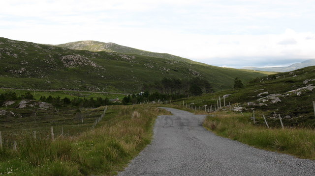
The hill is situated in a remote and rugged area, with its peak being accessible only by foot. Its location, combined with its height, makes it a popular destination for hikers and outdoor enthusiasts seeking a challenging climb and breathtaking vistas.
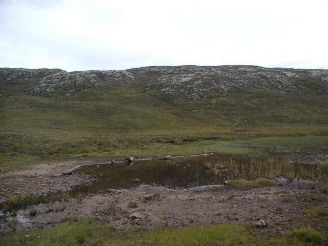
Cnoc Micheig is known for its natural beauty, characterized by vast open moorland, heather-covered slopes, and rocky outcrops. The hill is also home to an abundance of wildlife, including red deer, mountain hares, and various bird species, making it an ideal spot for nature lovers and birdwatchers.
The ascent to the summit of Cnoc Micheig can be demanding, with steep and rocky sections along the way. However, the rewarding view from the top makes the effort worthwhile, allowing visitors to marvel at the vastness of the Scottish Highlands and the nearby peaks.
Due to its remote location, it is recommended that hikers come prepared with proper equipment, including suitable footwear and clothing, as weather conditions can change rapidly in the area. Additionally, it is advisable to check for any safety advisories or restrictions before embarking on the climb.
Overall, Cnoc Micheig offers a challenging and rewarding experience for those seeking to immerse themselves in the natural beauty of the Scottish Highlands, providing a memorable adventure for outdoor enthusiasts and nature lovers alike.
If you have any feedback on the listing, please let us know in the comments section below.
Cnoc Micheig Images
Images are sourced within 2km of 58.127328/-6.8673051 or Grid Reference NB1325. Thanks to Geograph Open Source API. All images are credited.


Cnoc Micheig is located at Grid Ref: NB1325 (Lat: 58.127328, Lng: -6.8673051)
Unitary Authority: Na h-Eileanan an Iar
Police Authority: Highlands and Islands
What 3 Words
///metro.prospered.nagging. Near Carloway, Na h-Eileanan Siar
Nearby Locations
Related Wikis

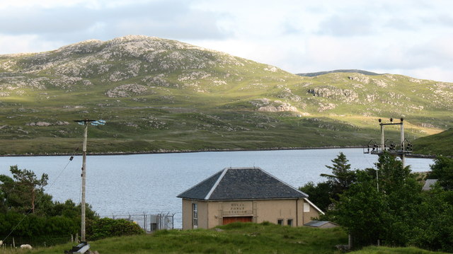
Gisla Hydro-Electric Scheme
Gisla Hydro-Electric Scheme was a small scheme promoted by the North of Scotland Hydro-Electric Board on the Isle of Lewis, Outer Hebrides, Scotland. It...

Fuaigh Beag
Fuaigh Beag or Vuia Be(a)g is an island in the Outer Hebrides. It is off the west coast of Lewis near Great Bernera in Loch Roag. Its name means "little...
Flodaigh, Lewis
Flodaigh is a small island in Loch Roag on the west coast of Lewis in the Outer Hebrides of Scotland. It is about 33 hectares (82 acres) in extent and...
Loch Ròg
Loch Ròg or Loch Roag is a large sea loch on the west coast of Lewis, Outer Hebrides. It is broadly divided into East Loch Roag and West Loch Roag with...
Nearby Amenities
Located within 500m of 58.127328,-6.8673051Have you been to Cnoc Micheig?
Leave your review of Cnoc Micheig below (or comments, questions and feedback).