Tromslum Mòr

Coastal Feature, Headland, Point in Argyllshire

Scotland

Tromslum Mòr

Tràigh Mhòr, Tiree Arriving ferry in the distance.
Tràigh Mhòr, Tiree Credit: Richard Webb

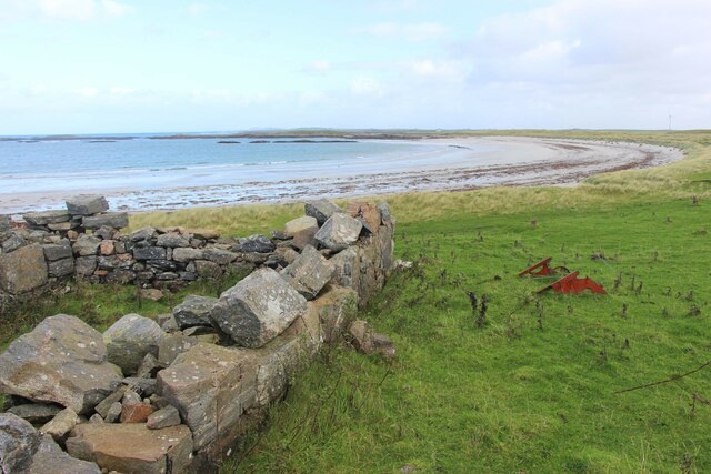
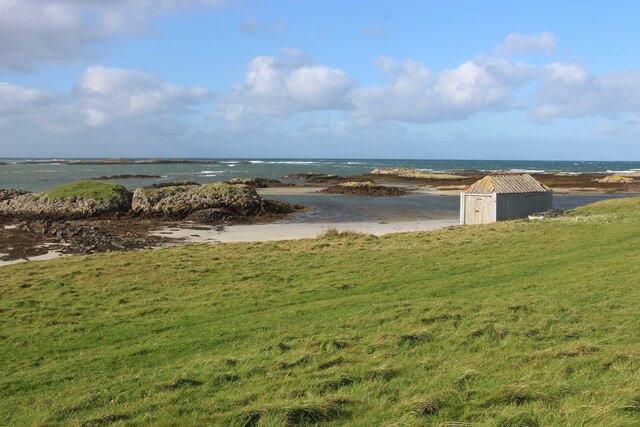
Tromslum Mòr is a prominent coastal feature located in Argyllshire, Scotland. It is a headland or point that juts out into the Atlantic Ocean, offering stunning views and a unique geographical formation.

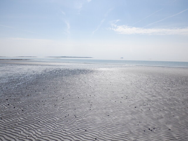
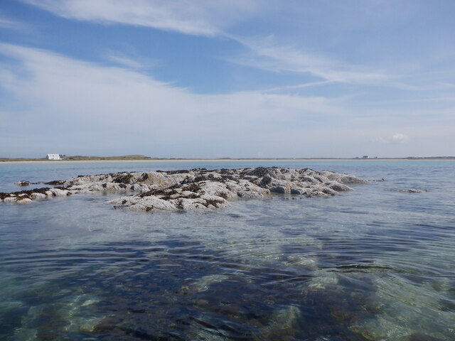
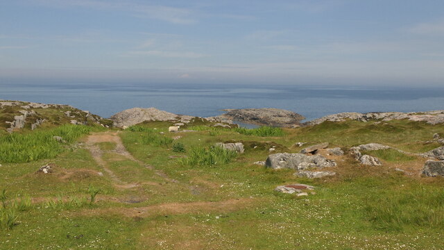
Situated in the western part of Argyllshire, Tromslum Mòr is known for its rugged cliffs and dramatic coastline. The headland is characterized by its steep slopes, rising up from the sea to form a distinctive promontory. The cliffs are composed of ancient rock formations, showcasing the area's geological history.

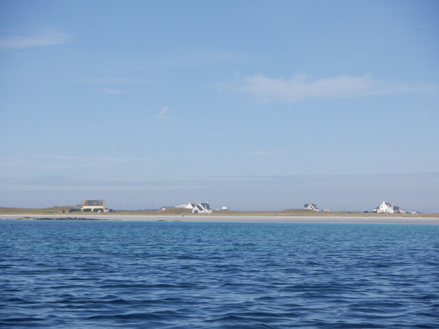
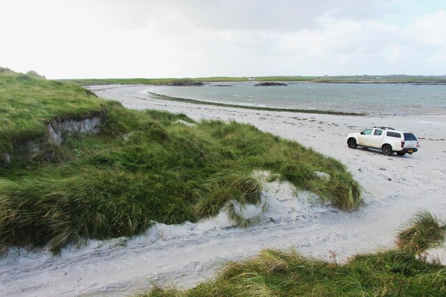
The headland is surrounded by pristine beaches and crystal-clear waters, making it a popular destination for nature enthusiasts and photographers. Its location on the Atlantic coast also means that Tromslum Mòr experiences strong winds and rough seas, creating a dynamic and ever-changing landscape.

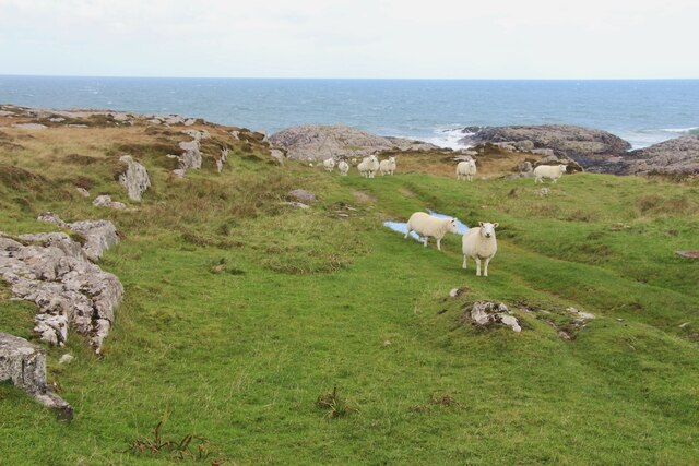
Tromslum Mòr is home to a diverse range of flora and fauna, including seabirds such as gannets and puffins, as well as various marine species. The area is also known for its rich marine life, with sightings of seals and dolphins being common.

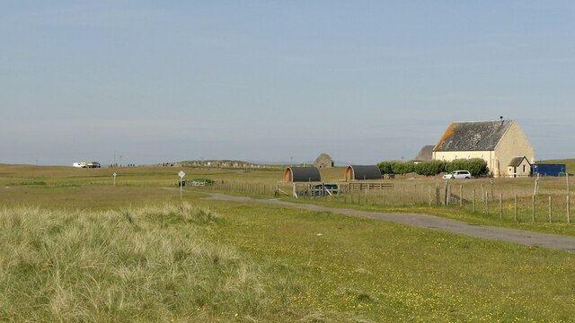
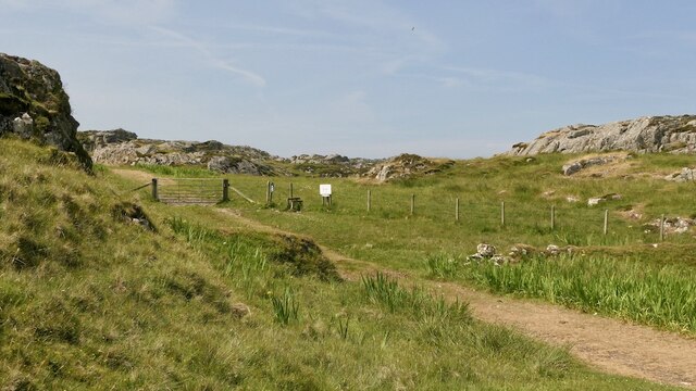
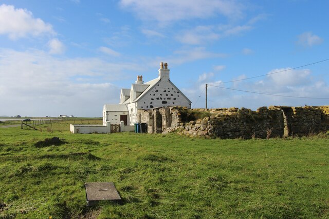
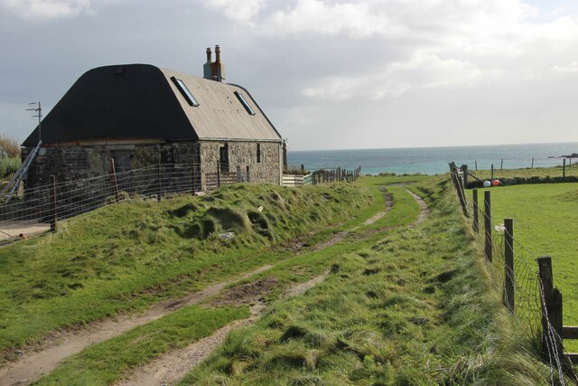
Access to Tromslum Mòr is relatively easy, with a well-maintained path leading to the headland. The site is also equipped with viewpoint platforms, allowing visitors to take in the breathtaking panoramic views of the surrounding coastline and the vast expanse of the Atlantic Ocean.

Overall, Tromslum Mòr is a natural wonder that captivates visitors with its rugged beauty, diverse wildlife, and stunning coastal scenery.

If you have any feedback on the listing, please let us know in the comments section below.

Tromslum Mòr Images

Images are sourced within 2km of 56.536703/-6.781338 or Grid Reference NM0648. Thanks to Geograph Open Source API. All images are credited.

Tràigh Mhòr, Tiree Arriving ferry in the distance.
Tràigh Mhòr, Tiree
Arriving ferry in the distance.
Sgeir a' Phartain The only bit of the mapped skerries that were above water at the time (Neap flood tide a couple of hours after low water).  Frustrating as the square to the south was undocumented here and on paper a bit of an easy bag in these conditions.
Sgeir a' Phartain
The only bit of the mapped skerries that were above water at the time (Neap flood tide a couple of hours after low water). Frustrating as the square to the south was undocumented here and on paper a bit of an easy bag in these conditions.
Houses, Gott Bay View from  Gott Bay, just above the mapped rocks.
Houses, Gott Bay
View from Gott Bay, just above the mapped rocks.
Kirkapol, Tiree
Kirkapol, Tiree
Track, Vaul
Track, Vaul
Track beneath Dùn Mòr A pleasant short walk to a fine broch.
Track beneath Dùn Mòr
A pleasant short walk to a fine broch.
A grassy track by An Cnap
A modern house at Vaul
Vaul Bay, Tiree
Vaul Bay, Tiree
Silversands, a 'white house' by Tràigh Mhòr The old 'black house' sits alongside.
Silversands, a 'white house' by Tràigh Mhòr
The old 'black house' sits alongside.
A refurbished house at Ruaig
Coastal sward at The Reef
Store by the shore at Salum Bay
Salum Bay
Salum Bay
Wind turbine at Caolas
Colourful house, Kirkapol
Chapel ruins, Tiree Ruins of chapel, Kirkapol, Tiree
Chapel ruins, Tiree
Ruins of chapel, Kirkapol, Tiree
Vaul Bay
Vaul Bay
Show me another place!

Tromslum Mòr is located at Grid Ref: NM0648 (Lat: 56.536703, Lng: -6.781338)

Unitary Authority: Argyll and Bute

Police Authority: Argyll and West Dunbartonshire

What 3 Words

///trainers.spark.scorpions. Near Scarinish, Argyll & Bute

Related Wikis

Dun Mor Vaul

Dun Mor Vaul (or simply Dun Mor; Scottish Gaelic: Dùn Mòr) is an iron-age broch located on the north coast of the island of Tiree, in Scotland. ��2�...

Tiree

Tiree (; Scottish Gaelic: Tiriodh, pronounced [ˈtʲʰiɾʲəɣ]) is the most westerly island in the Inner Hebrides of Scotland. The low-lying island, southwest...

Scarinish

Scarinish (Scottish Gaelic: Sgairinis [ˈs̪kaɾʲɪnɪʃ]) is the main village on the island of Tiree, in the Inner Hebrides of Scotland. It is located on the...

Gunna, Scotland

Gunna (Gaelic: Gunnaigh) is an island in the Inner Hebrides of Scotland. == Geography and geology == Gunna lies between Coll and Tiree, closer to Coll...

Tiree Airport

Tiree Airport (Scottish Gaelic: Port-adhair Thiriodh) (IATA: TRE, ICAO: EGPU) is located 2.5 nautical miles (4.6 km; 2.9 mi) north northeast of Balemartine...

Tiree Music Festival

Tiree Music Festival is a Scottish folk music festival held annually on the Island of Tiree in the Inner Hebrides. The festival was founded in 2010 by...

Nearby Amenities

Located within 500m of 56.536703,-6.781338
Created By: dmgroom_coastlines
Source: PGS
Lat/Long: 56.53773/-6.78897
Created By: dmgroom_coastlines
Source: PGS
Lat/Long: 56.53759/-6.78851
Created By: dmgroom_coastlines
Source: PGS
Lat/Long: 56.53836/-6.78824
Created By: dmgroom_coastlines
Source: PGS
Lat/Long: 56.53861/-6.78822
Created By: dmgroom_coastlines
Source: PGS
Lat/Long: 56.53874/-6.78844
Created By: dmgroom_coastlines
Source: PGS
Lat/Long: 56.53962/-6.787
Created By: dmgroom_coastlines
Source: PGS
Lat/Long: 56.53884/-6.78682
Created By: dmgroom_coastlines
Source: PGS
Lat/Long: 56.53782/-6.78688
Created By: dmgroom_coastlines
Source: PGS
Lat/Long: 56.53731/-6.78714
Created By: dmgroom_coastlines
Source: PGS
Lat/Long: 56.53715/-6.78529
Created By: dmgroom_coastlines
Source: PGS
Lat/Long: 56.53714/-6.78483
Created By: dmgroom_coastlines
Source: PGS
Lat/Long: 56.53712/-6.78437
Created By: dmgroom_coastlines
Source: PGS
Lat/Long: 56.53686/-6.78345
Created By: dmgroom_coastlines
Source: PGS
Lat/Long: 56.53685/-6.78253
Created By: dmgroom_coastlines
Source: PGS
Lat/Long: 56.53709/-6.78159
Created By: dmgroom_coastlines
Source: PGS
Lat/Long: 56.53708/-6.78112
Created By: dmgroom_coastlines
Source: PGS
Lat/Long: 56.53681/-6.78068
Created By: dmgroom_coastlines
Source: PGS
Lat/Long: 56.5368/-6.78021
Created By: dmgroom_coastlines
Source: PGS
Lat/Long: 56.53705/-6.77974
Created By: dmgroom_coastlines
Source: PGS
Lat/Long: 56.53729/-6.77879
Created By: dmgroom_coastlines
Source: PGS
Lat/Long: 56.5374/-6.77785
Created By: dmgroom_coastlines
Source: PGS
Lat/Long: 56.53766/-6.77761
Created By: dmgroom_coastlines
Source: PGS
Lat/Long: 56.5379/-6.77714
Created By: dmgroom_coastlines
Source: PGS
Lat/Long: 56.53841/-6.77687
Created By: dmgroom_coastlines
Source: PGS
Lat/Long: 56.53839/-6.77595
Created By: dmgroom_coastlines
Source: PGS
Lat/Long: 56.53942/-6.77589
Created By: dmgroom_coastlines
Source: PGS
Lat/Long: 56.5394/-6.77496
Frequency: 50
Power: pole
Voltage: 11000
Lat/Long: 56.5324982/-6.7817047
Frequency: 50
Power: pole
Voltage: 11000
Lat/Long: 56.5328266/-6.780495
Frequency: 50
Power: pole
Voltage: 11000
Lat/Long: 56.5331697/-6.7791995
Frequency: 50
Power: pole
Voltage: 11000
Lat/Long: 56.5334493/-6.7781883
Frequency: 50
Power: pole
Voltage: 11000
Lat/Long: 56.5337495/-6.7771181
Frequency: 50
Power: pole
Voltage: 11000
Lat/Long: 56.5343264/-6.7760962
Frequency: 50
Power: pole
Voltage: 11000
Lat/Long: 56.5354386/-6.7740658
Power: pole
Lat/Long: 56.5342103/-6.774845
Power: pole
Lat/Long: 56.5338435/-6.7762397
Power: pole
Lat/Long: 56.5334826/-6.7775755
Power: pole
Lat/Long: 56.5330906/-6.778989
Power: pole
Lat/Long: 56.5326779/-6.7804374
Power: pole
Lat/Long: 56.532283/-6.7819287
The data included in this document is from www.openstreetmap.org. The data is made available under ODbL.

Have you been to Tromslum Mòr?

Leave your review of Tromslum Mòr below (or comments, questions and feedback).