Creag an Easa
Coastal Feature, Headland, Point in Ross-shire
Scotland
Creag an Easa
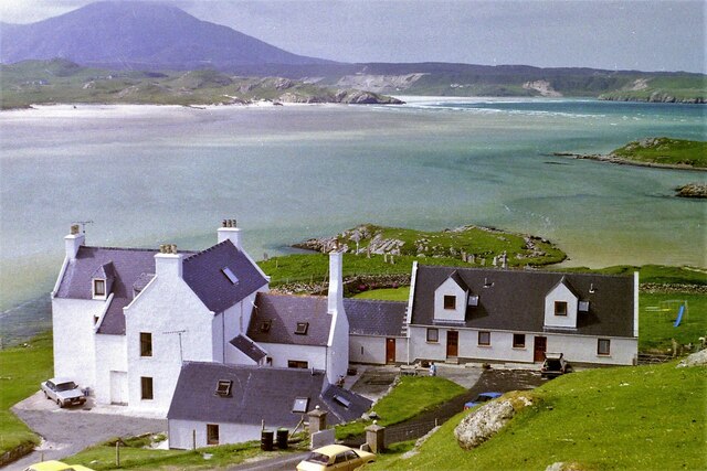
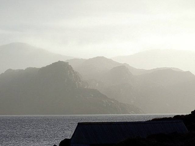
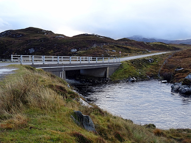
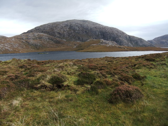
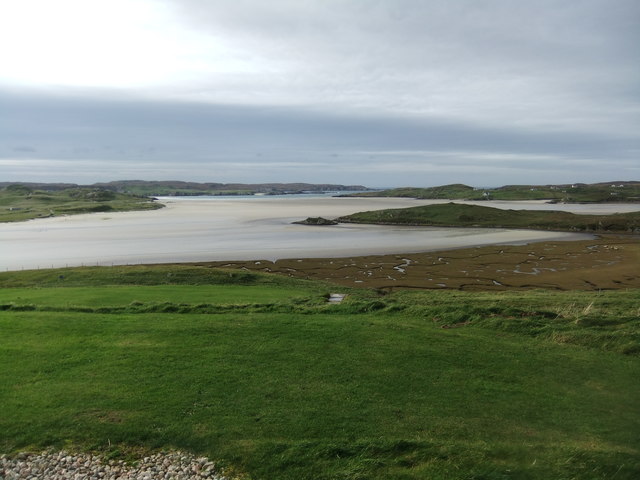
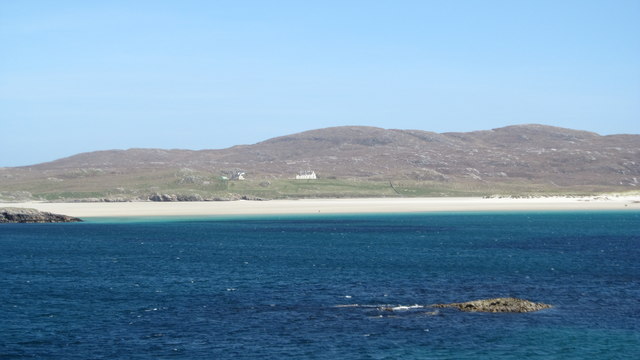
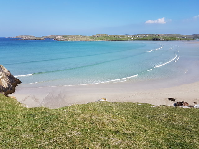
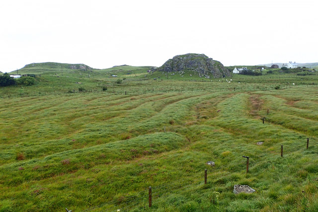
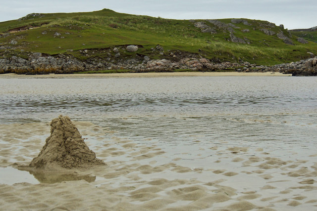
Creag an Easa, located in Ross-shire, Scotland, is a picturesque coastal feature that stands proudly as a prominent headland along the rugged coastline. This stunning point juts out into the North Sea, offering breathtaking panoramic views of the surrounding landscape.
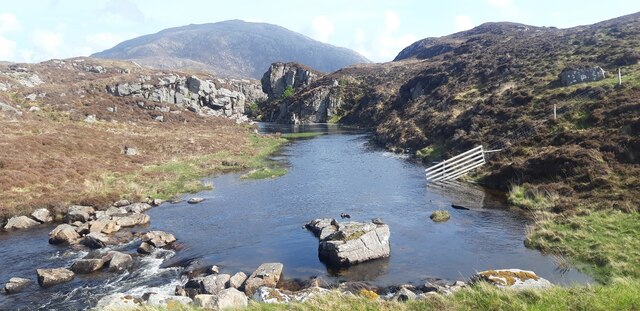
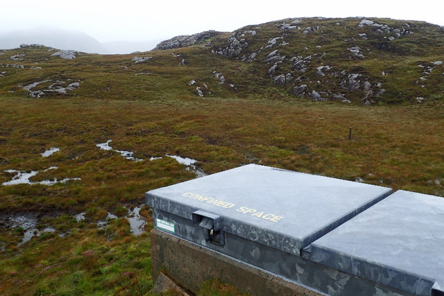
Rising to an impressive height, Creag an Easa showcases a dramatic cliff face, with layers of sedimentary rock displaying the passage of time. The headland is composed of a variety of rock types, including sandstone and shale, which have been shaped and carved by the relentless forces of the sea.
The coastal feature is renowned for its rich biodiversity, providing a habitat for a diverse range of plant and animal species. Seabird colonies, such as puffins and guillemots, can be seen nesting on the cliffs, while grey seals can often be spotted basking on the rocks below.
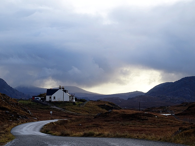
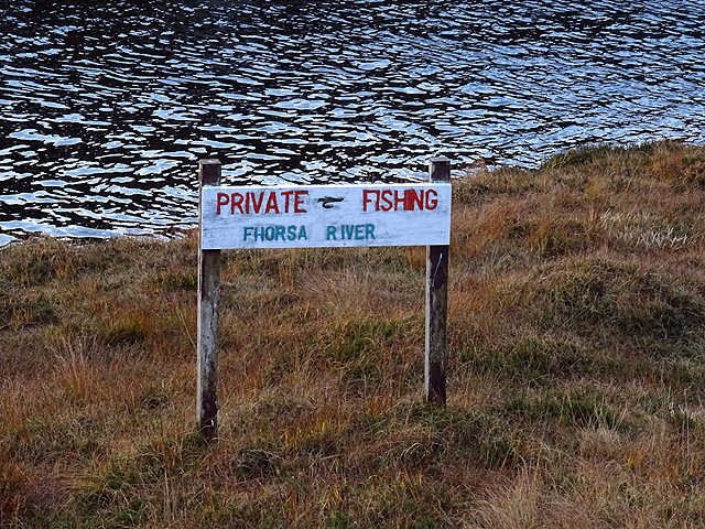
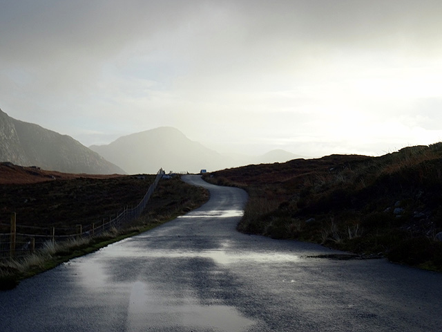
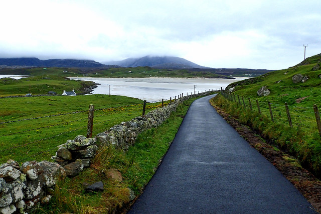
For outdoor enthusiasts, Creag an Easa offers a plethora of recreational activities. The headland is a popular destination for hikers and nature lovers, who can explore its rugged terrain and enjoy the stunning coastal views. Fishing enthusiasts also frequent the area, taking advantage of the abundant marine life that thrives in the surrounding waters.
Creag an Easa is not only a natural wonder but also holds historical significance. The headland has played a role in the local community for centuries, with remnants of ancient settlements and burial sites scattered across the landscape. These archaeological sites provide a glimpse into the lives of the people who once inhabited this coastal region.
Overall, Creag an Easa is a captivating coastal feature that showcases the beauty of Scotland's natural landscapes, offering a blend of stunning views, ecological diversity, and historical significance.
If you have any feedback on the listing, please let us know in the comments section below.
Creag an Easa Images
Images are sourced within 2km of 58.182374/-7.0037938 or Grid Reference NB0532. Thanks to Geograph Open Source API. All images are credited.

Creag an Easa is located at Grid Ref: NB0532 (Lat: 58.182374, Lng: -7.0037938)
Unitary Authority: Na h-Eileanan an Iar
Police Authority: Highlands and Islands
What 3 Words
///digests.surreal.reverted. Near Carloway, Na h-Eileanan Siar
Nearby Locations
Related Wikis

Uig, Lewis
Uig (Scottish Gaelic: Ùig [uːkʲ]), also known as Sgìr' Ùig, is a civil parish and community in the west of the Isle of Lewis in the Outer Hebrides, Scotland...

Ardroil
Ardroil (Scottish Gaelic: Eadar Dhà Fhadhail) is a village on the Isle of Lewis in the Outer Hebrides, Scotland. Ardroil is within the parish of Uig....

Timsgarry
Timsgarry (Scottish Gaelic: Tuimisgearraidh) is a village on the Isle of Lewis, in the Outer Hebrides, Scotland. Timsgarry is home to the Baile na Cille...

Camas Uig
Camas Uig (Uig Bay) is a bay on the west coast of the Isle of Lewis, in the Outer Hebrides of Scotland. The Lewis Chessmen were discovered in the dunes...

Abhainn Dearg distillery
Abhainn Dearg distillery ( AV-in JAIRG) or Red River distillery is a Scotch whisky distillery in Uig, on the west coast of the Isle of Lewis in the Outer...
Gasker
Gasker is a small uninhabited islet in the Outer Hebrides of Scotland, 8 kilometres (4+1⁄2 nautical miles) southwest of Scarp, off the west coast of Harris...

Cliff, Lewis
Cliff (Scottish Gaelic: Cliobh) is a small settlement on the Isle of Lewis, in the Outer Hebrides, Scotland. Cliff is within the parish of Uig. The settlement...
Flodaigh, Lewis
Flodaigh is a small island in Loch Roag on the west coast of Lewis in the Outer Hebrides of Scotland. It is about 33 hectares (82 acres) in extent and...
Nearby Amenities
Located within 500m of 58.182374,-7.0037938Have you been to Creag an Easa?
Leave your review of Creag an Easa below (or comments, questions and feedback).