Leac Dhubh

Coastal Feature, Headland, Point in Inverness-shire

Scotland

Leac Dhubh

View towards Lingarabay Looking south.
View towards Lingarabay Credit: Richard Dorrell

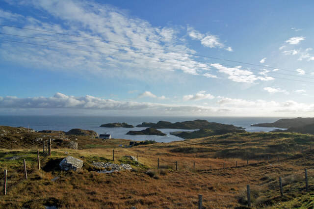
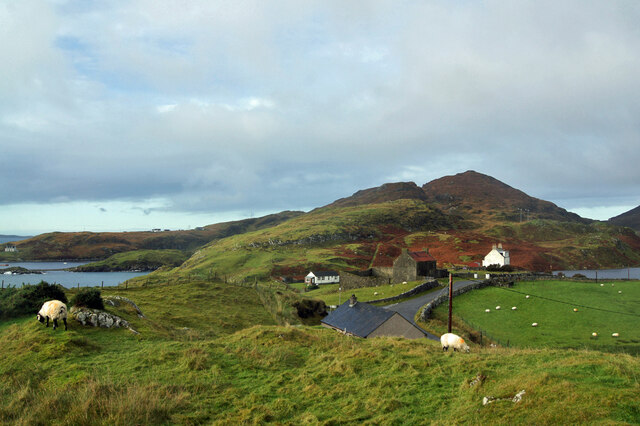
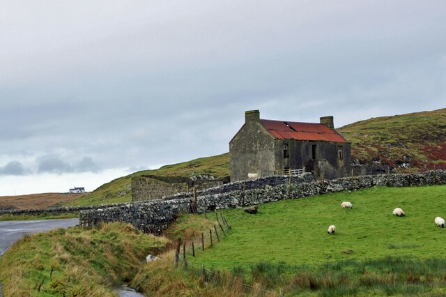
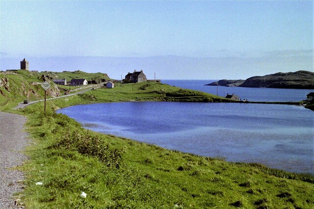
Leac Dhubh is a prominent coastal feature located in Inverness-shire, Scotland. It is an imposing headland that juts out into the North Atlantic Ocean, offering breathtaking views and a rugged, picturesque landscape. The name "Leac Dhubh" translates to "black flagstone" in Gaelic, which accurately describes the dark, rocky nature of the headland.

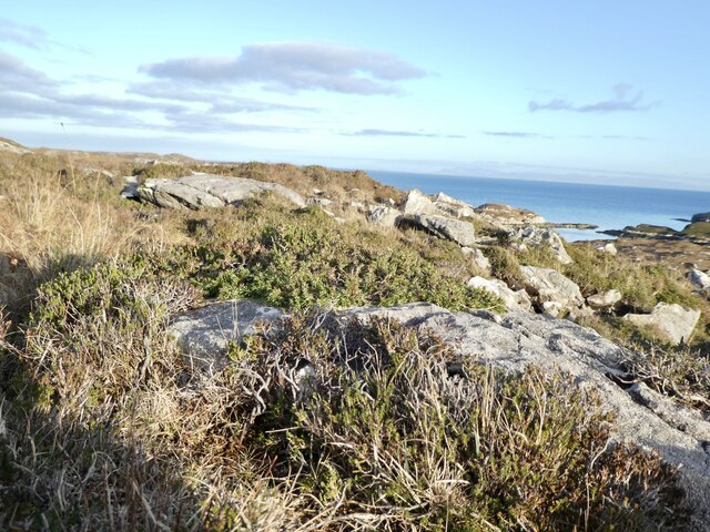
This coastal feature is known for its dramatic cliffs, which tower above the crashing waves below. These cliffs are composed of ancient rock formations, providing a glimpse into the geological history of the area. The exposed rock surfaces have been weathered by the relentless force of the ocean, creating fascinating patterns and textures.

Leac Dhubh is a haven for wildlife enthusiasts, as it is home to a diverse range of bird species. Seabirds such as gannets, kittiwakes, and razorbills can be spotted nesting on the cliffs, while occasional sightings of puffins add to the area's charm. The headland also serves as a resting spot for migratory birds, making it a popular destination for birdwatchers.

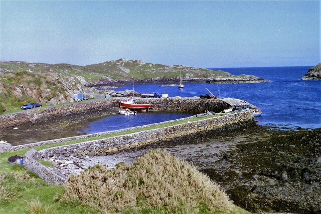
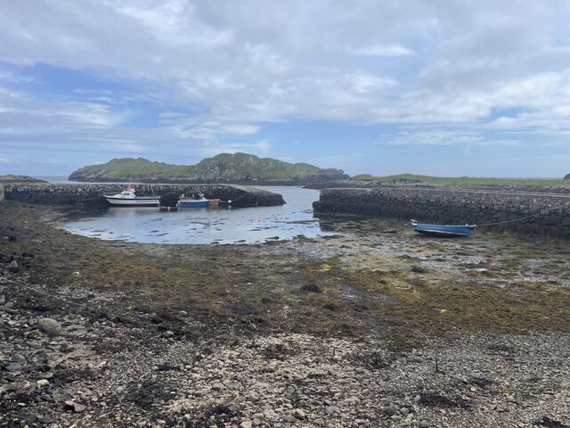
Furthermore, the surrounding waters of Leac Dhubh are rich in marine life. Seals can often be seen basking on nearby rocks, and dolphins occasionally make appearances, delighting visitors with their playful antics.

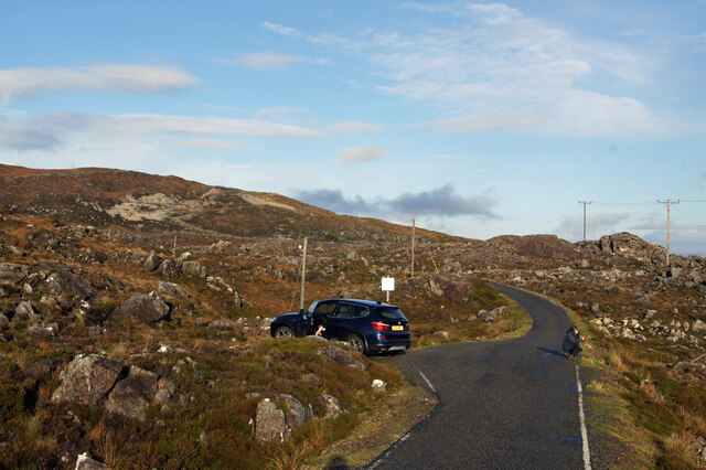
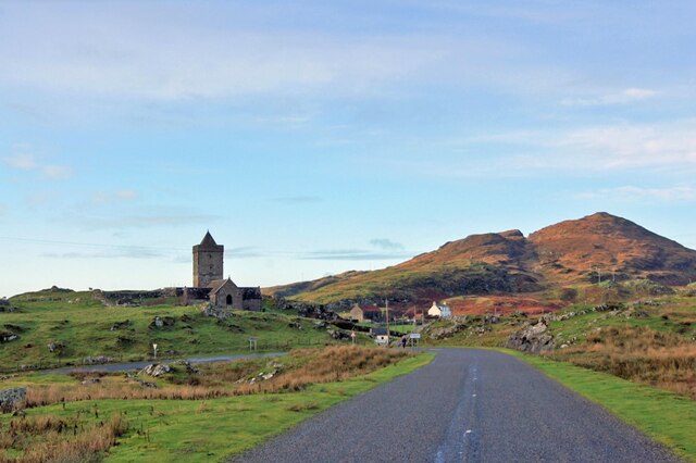
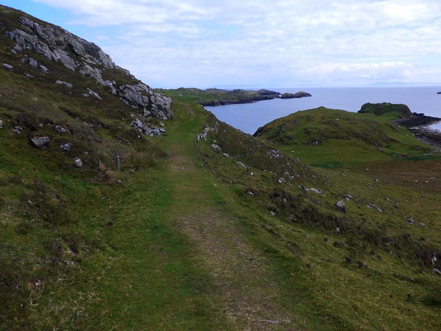
Access to Leac Dhubh is relatively straightforward, with several walking trails leading to the headland. These paths offer stunning views of the surrounding coastline and provide an opportunity to explore the diverse flora and fauna that inhabit the area.

Overall, Leac Dhubh is a captivating coastal feature, offering a unique blend of natural beauty, geological significance, and wildlife diversity. It is a must-visit destination for those seeking an authentic Scottish coastal experience.

If you have any feedback on the listing, please let us know in the comments section below.

Leac Dhubh Images

Images are sourced within 2km of 57.742382/-6.9431936 or Grid Reference NG0583. Thanks to Geograph Open Source API. All images are credited.

View towards Lingarabay Looking south.
View towards Lingarabay
Looking south.
Road north from Roghadal Sue crouches to get some foreground in her arty photo looking out to sea, while I capture the scene for Geograph.
Road north from Roghadal
Sue crouches to get some foreground in her arty photo looking out to sea, while I capture the scene for Geograph.
Roghadal harbour The house on the right was built in 1781, and become an hotel at least as early as the 1920s. The building is currently undergoing significant restoration.
Roghadal harbour
The house on the right was built in 1781, and become an hotel at least as early as the 1920s. The building is currently undergoing significant restoration.
Roghadal harbour An odd little loop of single track road provides vehicle access from two directions.
Roghadal harbour
An odd little loop of single track road provides vehicle access from two directions.
Roghadal  Looking north west over the wall of the churchyard.
Roghadal
Looking north west over the wall of the churchyard.
Derelict building, Roghadal The building is Category B listed. There is a staircase on the front to a first floor door, while access to the ground floor is from the rear. Most recently in use for storage or as a byre, the presence of chimneys suggest that at least part of the building may at one time have been residential. 
See also: <a href="https://www.geograph.org.uk/photo/1349347">NG0483 : Derelict House at Roghadal</a>.
Derelict building, Roghadal
The building is Category B listed. There is a staircase on the front to a first floor door, while access to the ground floor is from the rear. Most recently in use for storage or as a byre, the presence of chimneys suggest that at least part of the building may at one time have been residential. See also: NG0483 : Derelict House at Roghadal.
Roghadal St Clement's Church stands prominently above the small settlement. 
View looking north west from the end of the minor road which runs the length of the east coast of Harris.
Roghadal
St Clement's Church stands prominently above the small settlement. View looking north west from the end of the minor road which runs the length of the east coast of Harris.
Rodel Harbour, Harris, 1989
Looking south towards Rodel, Harris, 1989
Prostrate Juniper near Beinn na h-Aire Zone 2 - Juniperus communis ssp nana. Found in abundance in this area - this one on the slopes of Beinn na h-Aire, on the way up to Roineabhal from Lingreabhagh. This is a designated National Scenic Area (NSA).
Prostrate Juniper near Beinn na h-Aire
Zone 2 - Juniperus communis ssp nana. Found in abundance in this area - this one on the slopes of Beinn na h-Aire, on the way up to Roineabhal from Lingreabhagh. This is a designated National Scenic Area (NSA).
Roghadal Harbour
Roghadal Harbour
Near Lingarabay One of the great pleasures of a visit to Harris is driving the road along the east coast, with its vistas of impossibly rocky land.
Near Lingarabay
One of the great pleasures of a visit to Harris is driving the road along the east coast, with its vistas of impossibly rocky land.
The Bays Road This narrow road with passing places twists and winds along the east coast of Harris between Roghadal and Tairbeart. The scar on the hill ahead is the anorthosite quarry above Lingerbay. A proposal to develop a super-quarry here led to protracted planning wrangles until it was finally turned down in 2004. See <span class="nowrap"><a title="https://en.wikipedia.org/wiki/Lingarabay" rel="nofollow ugc noopener" href="https://en.wikipedia.org/wiki/Lingarabay">Link</a><img style="margin-left:2px;" alt="External link" title="External link - shift click to open in new window" src="https://s1.geograph.org.uk/img/external.png" width="10" height="10"/></span> for details. Anorthosite is a rock composed mainly of plagioclase feldspar with other minerals, and it appears very white. Much of the Moon is composed of anorthosite.
The Bays Road
This narrow road with passing places twists and winds along the east coast of Harris between Roghadal and Tairbeart. The scar on the hill ahead is the anorthosite quarry above Lingerbay. A proposal to develop a super-quarry here led to protracted planning wrangles until it was finally turned down in 2004. See LinkExternal link for details. Anorthosite is a rock composed mainly of plagioclase feldspar with other minerals, and it appears very white. Much of the Moon is composed of anorthosite.
Beinn na h-Aire Or rather the northern slopes of Beinn na h-Aire, much of the hill being hidden in the cloud.
Beinn na h-Aire
Or rather the northern slopes of Beinn na h-Aire, much of the hill being hidden in the cloud.
The path to Rodel from Borrisdale
The harbour at Rodel
Rocky shore at Rodel The gap separates the island of Vallay from the 'mainland' of Harris on the left.
Rocky shore at Rodel
The gap separates the island of Vallay from the 'mainland' of Harris on the left.
Loch Roghadail With the island of Vallay/Bhalaigh on the left and the tip of Flodday on the right.
Loch Roghadail
With the island of Vallay/Bhalaigh on the left and the tip of Flodday on the right.
Show me another place!

Leac Dhubh is located at Grid Ref: NG0583 (Lat: 57.742382, Lng: -6.9431936)

Unitary Authority: Na h-Eileanan an Iar

Police Authority: Highlands and Islands

What 3 Words

///steered.auctioned.breakfast. Near Leverburgh, Na h-Eileanan Siar

Related Wikis

St Clement's Church, Rodel

St Clement's Church (Scottish Gaelic: Tùr Chliamhainn, meaning Clement's Tower) is a late fifteenth-century or early sixteenth-century church in Rodel...

Rodel

Rodel (Scottish Gaelic: Roghadal) is a village on the south-eastern coast of Harris, an island in the Scottish Outer Hebrides. Rodel is situated in the...

Harris Superquarry

The Harris Super Quarry was a super quarry at Lingerbay, Harris, Scotland proposed by Redland Aggregates in 1991. The plan was to surface mine aggregate...

Lingarabay

Lingarabay (also Lingerabay or Lingerbay; Scottish Gaelic: Lingreabhagh) is a small coastal settlement on Harris, in the Outer Hebrides of Scotland. It...

Nearby Amenities

Located within 500m of 57.742382,-6.9431936
Created By: Potlatch 0.10f
Natural: cave_entrance
Lat/Long: 57.7405298/-6.9500756
Rubha Bhalairiop
Natural: cape
Lat/Long: 57.7400641/-6.9421138
Rubha Sguta
Natural: cape
Lat/Long: 57.7444504/-6.9402577
The data included in this document is from www.openstreetmap.org. The data is made available under ODbL.

Have you been to Leac Dhubh?

Leave your review of Leac Dhubh below (or comments, questions and feedback).