Bayley's Hill
Settlement in Kent Sevenoaks
England
Bayley's Hill
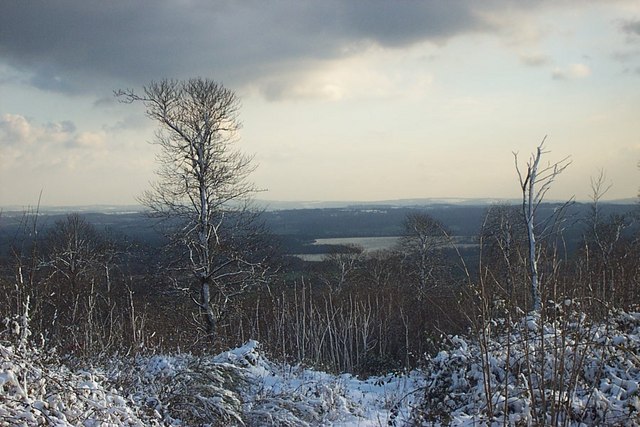
Bayley's Hill is a charming rural village located in the county of Kent, England. Situated in the southeastern part of the country, it lies approximately 15 miles south of the historic city of Canterbury. The village is nestled within the picturesque Kent Downs, an Area of Outstanding Natural Beauty, and is surrounded by rolling hills, lush green fields, and idyllic countryside.
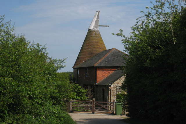
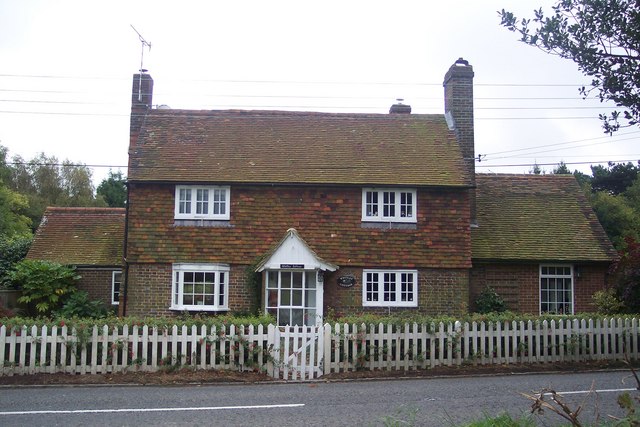
Bayley's Hill is a small community with a population of around 200 residents. It has a tranquil and peaceful atmosphere, making it an ideal place for those seeking a quiet and rural lifestyle. The village is characterized by its charming cottages, many of which date back to the 18th and 19th centuries, adding to its historical charm.
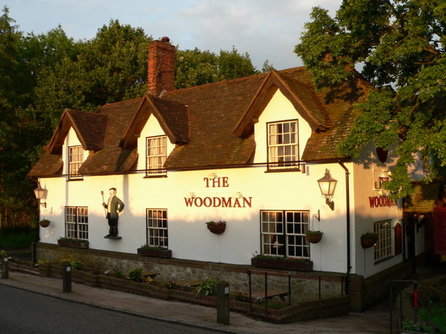
Despite its small size, Bayley's Hill boasts a strong sense of community spirit, with regular social events and gatherings organized by the village residents. The village also has a local pub, The Bayley's Inn, which serves as a focal point for both residents and visitors.
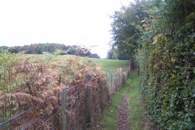
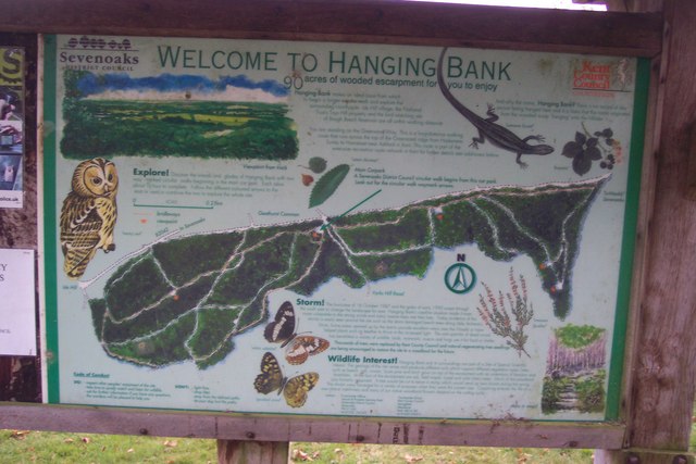
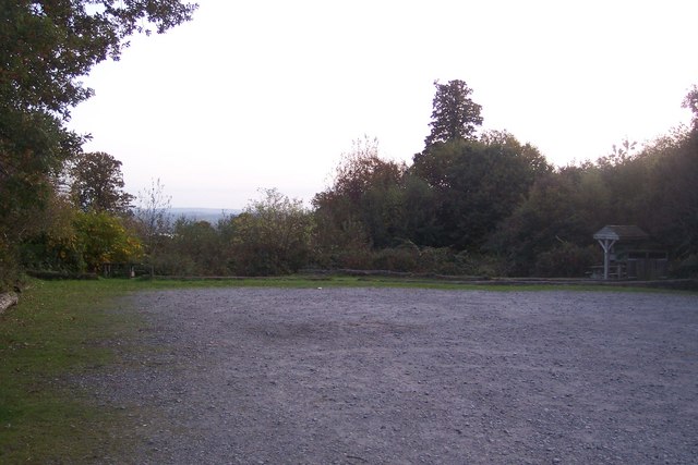
Nature lovers are drawn to Bayley's Hill due to its proximity to several nature reserves and walking trails, providing ample opportunities for outdoor activities such as hiking, birdwatching, and picnicking. The village is also conveniently located close to the Kent coast, allowing residents to enjoy seaside towns and beaches just a short drive away.
Overall, Bayley's Hill offers a peaceful and picturesque setting for those seeking a tranquil rural lifestyle with easy access to both natural beauty and nearby amenities.
If you have any feedback on the listing, please let us know in the comments section below.
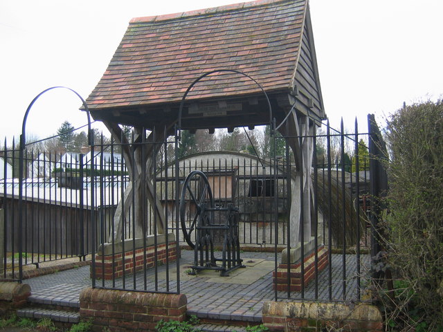
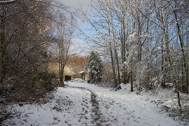
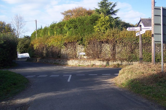
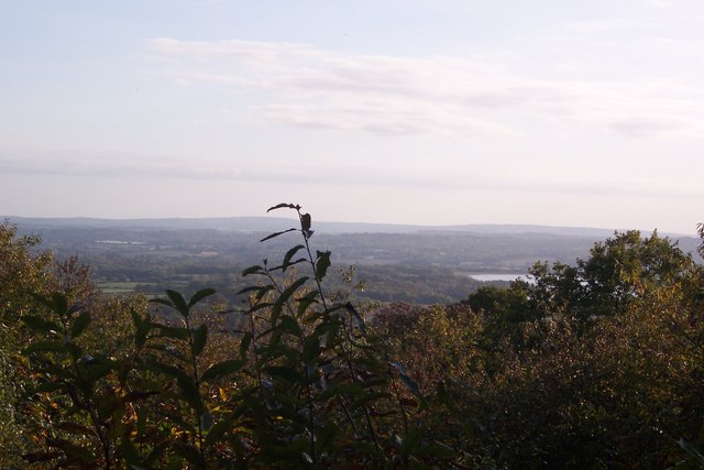
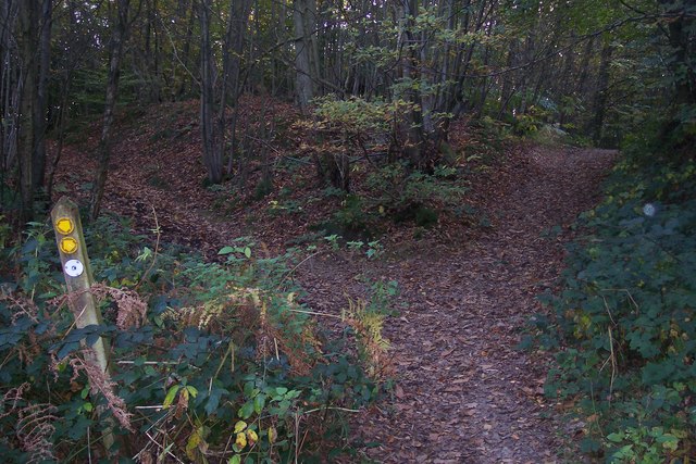
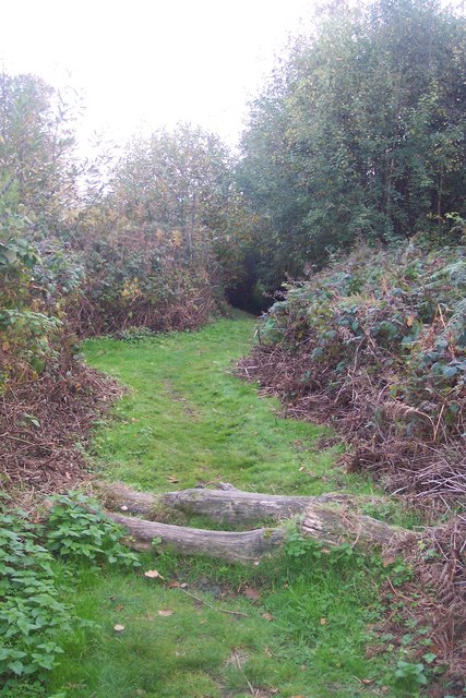
Bayley's Hill Images
Images are sourced within 2km of 51.245677/0.168212 or Grid Reference TQ5151. Thanks to Geograph Open Source API. All images are credited.


Bayley's Hill is located at Grid Ref: TQ5151 (Lat: 51.245677, Lng: 0.168212)
Administrative County: Kent
District: Sevenoaks
Police Authority: Kent
What 3 Words
///tell.gather.silver. Near Sevenoaks, Kent
Nearby Locations
Related Wikis

West Heath School (special school)
West Heath School is an independent school in Sevenoaks, Kent. It caters for children for whom mainstream schooling has become insufficient, for varying...

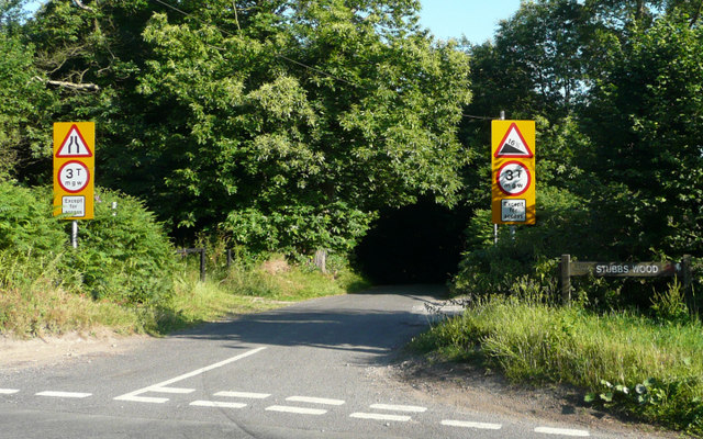
Stubbs Wood Country Park
Stubbs Wood Country Park is in Sevenoaks, in Kent, England. It is located on the Greensand Ridge, close to Ide Hill village. The site is owned and managed...

Long Barn
Long Barn, located in the village of Sevenoaks Weald, Kent, is a Grade II* listed building and a Grade II* registered garden. Reputedly the birthplace...

Sevenoaks Weald
Sevenoaks Weald is a village and civil parish in the Sevenoaks District of Kent, England. The parish is located on the Low Weald, immediately south of...

New Beacon School
The New Beacon Preparatory School is an independent all-boys preparatory school, located at Sevenoaks in the English county of Kent. It admits both day...

Hubbard's Hill
Hubbard's Hill is a 66.6-hectare (165-acre) geological Site of Special Scientific Interest south of Sevenoaks in Kent. It is a Geological Conservation...

Ide Hill
Ide Hill is a village within the civil parish of Sundridge with Ide Hill, in the Sevenoaks District of Kent, England. It stands on one of the highest...

Sevenoaks School
Sevenoaks School is a highly selective coeducational private school in Sevenoaks, Kent, England. It is the second oldest non-denominational school in the...
Nearby Amenities
Located within 500m of 51.245677,0.168212Have you been to Bayley's Hill?
Leave your review of Bayley's Hill below (or comments, questions and feedback).