Bayles
Settlement in Cumberland Eden
England
Bayles
Bayles is a small rural town located in the state of Victoria, Australia. Situated approximately 85 kilometers southeast of Melbourne, it falls under the jurisdiction of the Shire of Cardinia. With a population of just over 300 people, Bayles is known for its peaceful and picturesque countryside setting.
The town is surrounded by vast farmlands, with agriculture playing a significant role in the local economy. The fertile soil and favorable climate make Bayles ideal for farming activities, particularly dairy farming and crop cultivation. As a result, the region produces a variety of agricultural products, including milk, vegetables, and grains.
Despite its small size, Bayles has a close-knit community that fosters a strong sense of camaraderie and support. Residents often participate in local events and gatherings, such as the annual Bayles Country Fair, which showcases the town's agricultural heritage and promotes community engagement.
Bayles offers limited amenities to its residents, including a general store and a community hall that serves as a gathering place for social events. For more extensive shopping and recreational activities, residents usually travel to nearby towns such as Koo Wee Rup or Pakenham.
Overall, Bayles provides a peaceful rural lifestyle, surrounded by natural beauty and a strong agricultural heritage. It is an ideal place for those seeking a close community and a serene environment away from the hustle and bustle of city life.
If you have any feedback on the listing, please let us know in the comments section below.
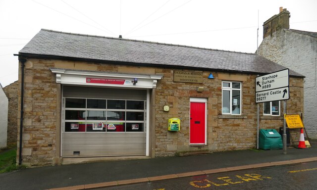
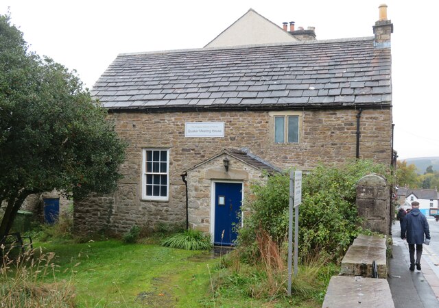
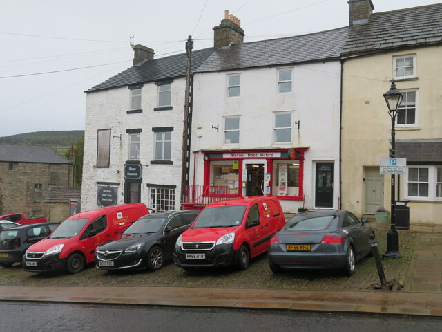
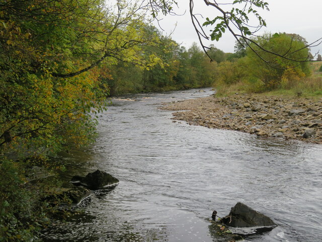
Bayles Images
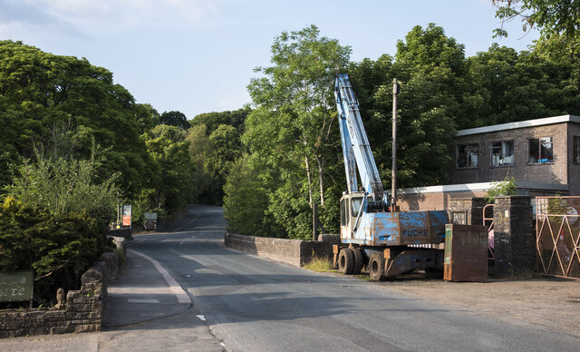
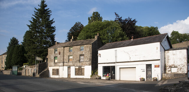
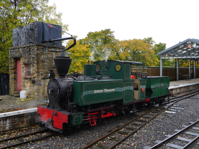
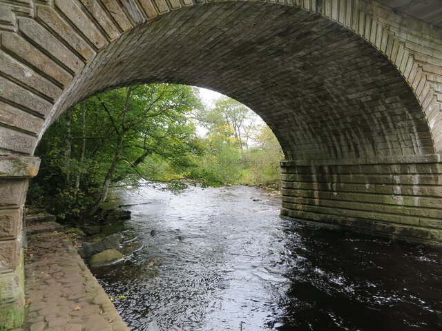
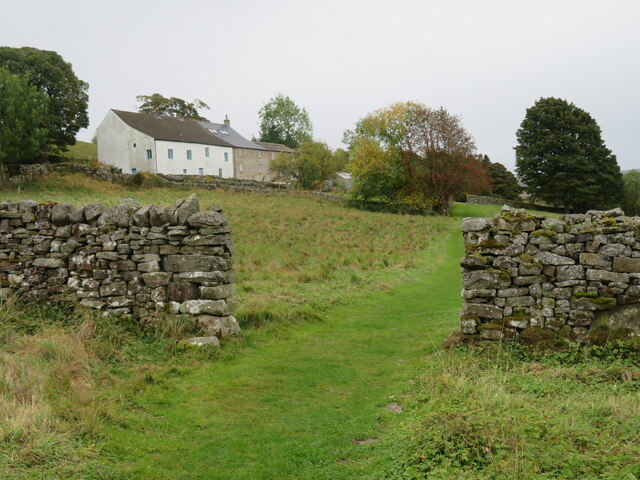
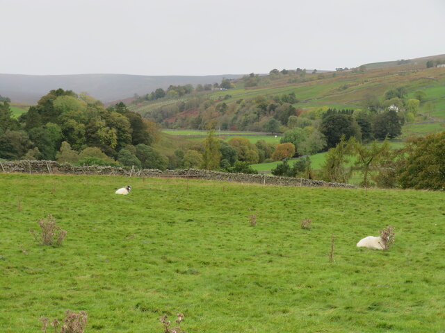
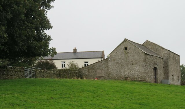
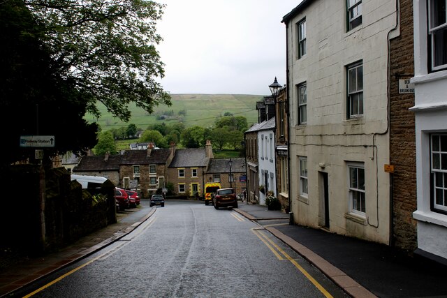
Images are sourced within 2km of 54.799932/-2.458069 or Grid Reference NY7045. Thanks to Geograph Open Source API. All images are credited.


Bayles is located at Grid Ref: NY7045 (Lat: 54.799932, Lng: -2.458069)
Administrative County: Cumbria
District: Eden
Police Authority: Cumbria
What 3 Words
///acclaimed.anode.surveyed. Near Alston, Cumbria
Nearby Locations
Related Wikis
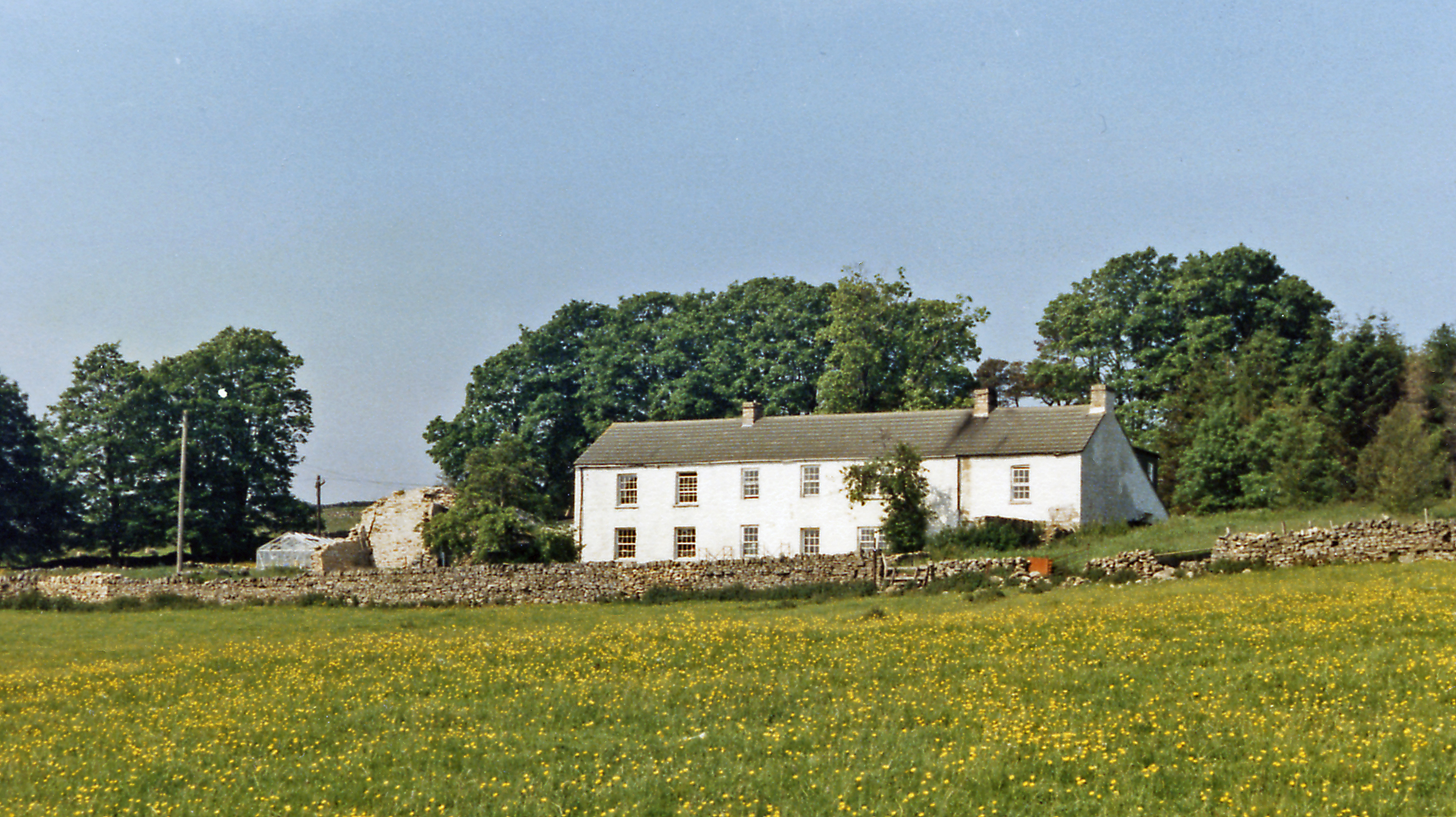
Bayles, Cumbria
Bayles is a hamlet near Alston in Cumbria, England.
A686 road
The A686 is a road in Northern England. It runs from Penrith in Cumbria to Haydon Bridge in Northumberland. AA Magazine named the A686 as one of their...

Leadgate, Cumbria
Leadgate is a small hamlet located at the foot of Hartside Fell between the town of Alston and the village of Garrigill in the parish of Alston Moor in...

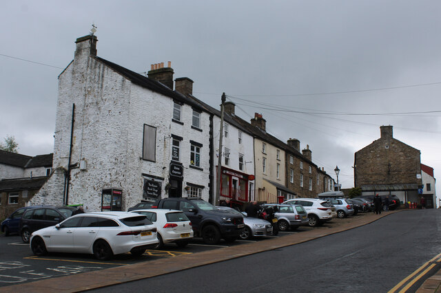
Alston, Cumbria
Alston is a town in Westmorland and Furness, Cumbria, England, within the civil parish of Alston Moor on the River South Tyne. It shares the title of the...

Samuel King's School
Samuel King's School is a mixed secondary school located in Alston in the English county of Cumbria. As of 2017 it had 73 students on roll. It is a comprehensive...

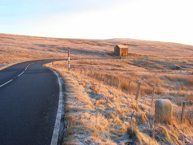
Alston Moor
Alston Moor, formerly known as Alston with Garrigill, is a civil parish and electoral ward in the Westmorland and Furness district, in the ceremonial county...

Alston Town Hall
Alston Town Hall is a municipal building in Front Street, Alston, Cumbria, England. The town hall, which is currently used as a public library, is a Grade...
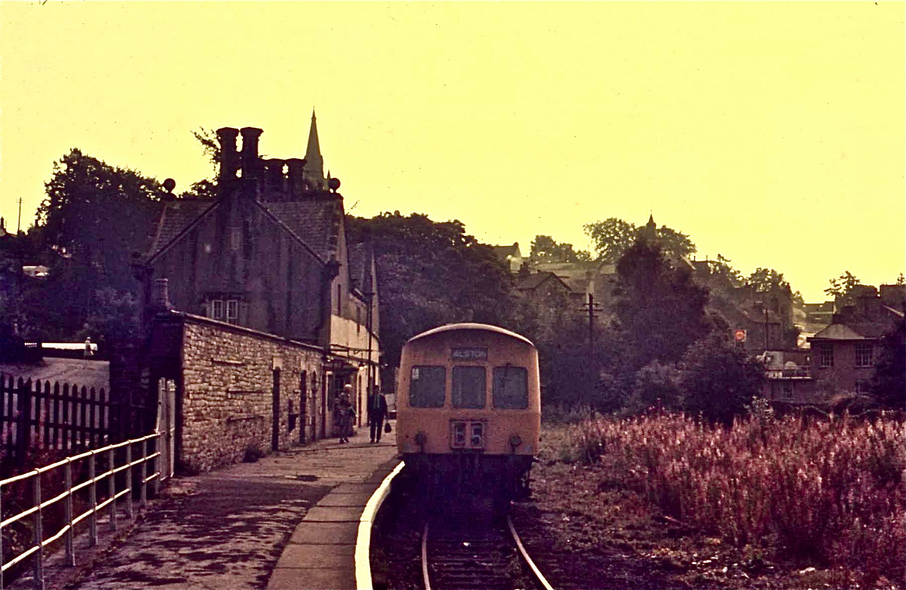
Alston railway station
Alston is a heritage railway station on the South Tynedale Railway. The station, situated 13 miles (21 km) south of Haltwhistle, is in the market town...
Nearby Amenities
Located within 500m of 54.799932,-2.458069Have you been to Bayles?
Leave your review of Bayles below (or comments, questions and feedback).