Blackhouse Plantation

Wood, Forest in Cumberland Eden

England

Blackhouse Plantation

Station Road (A686) heading north out of Alston The road is climbing to cross Whitfield Moor passing a minor road on the left giving access to the railway station which now operates as a narrow gauge tourist attraction. The low walls at the side of the road are parapets of a bridge over the River Nent. 
The Fuchs crane at the side of the road looks rather shabby.
Station Road (A686) heading north out of Alston Credit: Trevor Littlewood

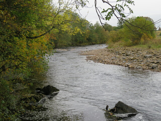
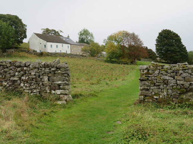
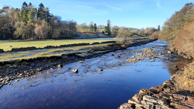
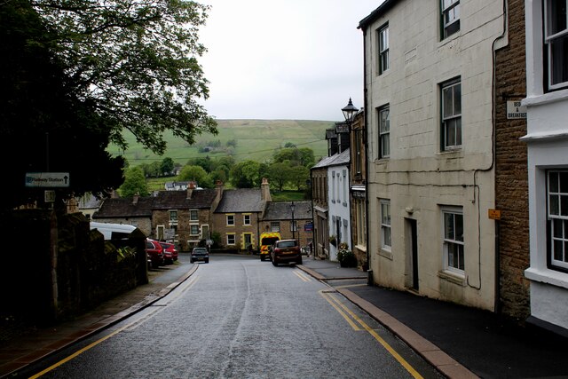
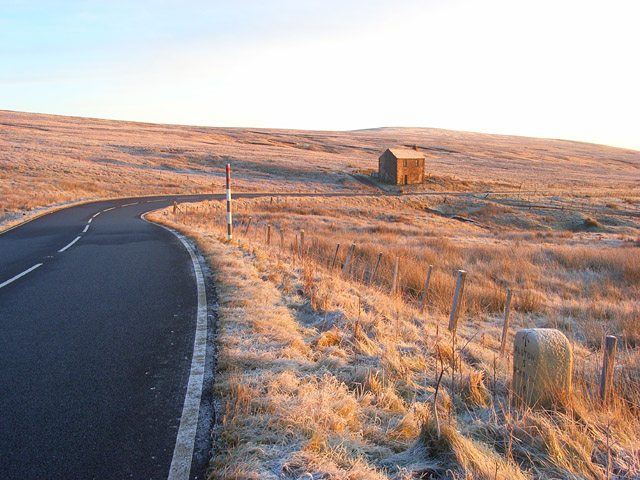
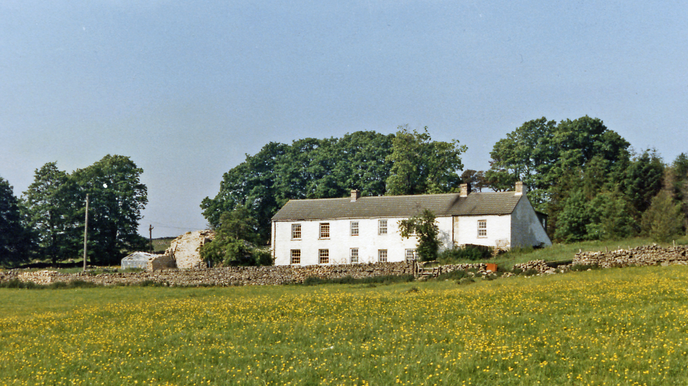
Blackhouse Plantation is a stunning woodland located in the Cumberland region of England. Situated in the heart of the picturesque countryside, this plantation is renowned for its mesmerizing beauty, rich biodiversity, and historical significance. The plantation spans across a vast area, covering a dense forest of towering trees, lush greenery, and abundant wildlife.

The woodlands of Blackhouse Plantation are dominated by a variety of tree species, including oak, beech, ash, and birch. These majestic trees create a dense canopy that filters the sunlight, resulting in a cool and serene atmosphere. The forest floor is adorned with a carpet of wildflowers, ferns, and mosses, adding to the enchanting ambiance of the plantation.

The plantation is not only a visual delight but also a haven for various species of fauna. It provides a thriving habitat for an array of wildlife, including deer, foxes, rabbits, and a diverse range of bird species. Nature enthusiasts and ornithologists flock to Blackhouse Plantation to witness the mesmerizing birdlife, which includes woodpeckers, owls, and various migratory birds.

In addition to its natural beauty, Blackhouse Plantation holds historical significance. It was once a site of charcoal production, as evidenced by the remnants of charcoal hearths scattered throughout the woodland. These hearths served as a vital resource for the local iron industry during the 18th and 19th centuries.

Today, Blackhouse Plantation offers a tranquil escape for visitors seeking solace in nature. With its breathtaking landscapes, diverse flora and fauna, and intriguing historical background, this woodland is a true gem of Cumberland's countryside.

If you have any feedback on the listing, please let us know in the comments section below.

Blackhouse Plantation Images

Images are sourced within 2km of 54.805119/-2.4642041 or Grid Reference NY7045. Thanks to Geograph Open Source API. All images are credited.

Station Road (A686) heading north out of Alston The road is climbing to cross Whitfield Moor passing a minor road on the left giving access to the railway station which now operates as a narrow gauge tourist attraction. The low walls at the side of the road are parapets of a bridge over the River Nent. 
The Fuchs crane at the side of the road looks rather shabby.
Station Road (A686) heading north out of Alston
The road is climbing to cross Whitfield Moor passing a minor road on the left giving access to the railway station which now operates as a narrow gauge tourist attraction. The low walls at the side of the road are parapets of a bridge over the River Nent. The Fuchs crane at the side of the road looks rather shabby.
Buildings on east side of A686 The buildings are on the east side of the A686 in Alston. The right part of the stone building was for many years the Central Cafe and is well-remembered as the refreshment stop for the Wrights Brothers bus and coach service which ran (and hopefully will run again), between Newcastle and Keswick. It has been in a deteriorating state since its closure some decades ago. The white painted building is part of Henderson's Garage.
Buildings on east side of A686
The buildings are on the east side of the A686 in Alston. The right part of the stone building was for many years the Central Cafe and is well-remembered as the refreshment stop for the Wrights Brothers bus and coach service which ran (and hopefully will run again), between Newcastle and Keswick. It has been in a deteriorating state since its closure some decades ago. The white painted building is part of Henderson's Garage.
Building of the South Tynedale Railway The building is adjacent to the line of the narrow gauge railway and has lines running into it so it's clearly used as a workshop or a storage facility for rolling stock. The South Tyne Trail which runs alongside the railway crosses from the east side to the west side of the line at the camera location.
Building of the South Tynedale Railway
The building is adjacent to the line of the narrow gauge railway and has lines running into it so it's clearly used as a workshop or a storage facility for rolling stock. The South Tyne Trail which runs alongside the railway crosses from the east side to the west side of the line at the camera location.
Carriage sidings, Alston The carriage sidings at the South Tynedale Railway close to the station of the narrow gauge railway.
Carriage sidings, Alston
The carriage sidings at the South Tynedale Railway close to the station of the narrow gauge railway.
Green Dragon at Alston Station The Green Dragon being prepared for the 1300 hrs service from Alston Station to Slaggyford on the South Tynedale Railway.

This photograph was taken during the Coronavirus (COVID-19) pandemic of 2020/21.
Green Dragon at Alston Station
The Green Dragon being prepared for the 1300 hrs service from Alston Station to Slaggyford on the South Tynedale Railway. This photograph was taken during the Coronavirus (COVID-19) pandemic of 2020/21.
Through an arch of the Tyne Bridge Looking upstream along the South Tyne from below the bridge that carries the A686.
Through an arch of the Tyne Bridge
Looking upstream along the South Tyne from below the bridge that carries the A686.
Alston Fire Station Housed in the former Grammar School which has a date of 1828 above the small red door.
Alston Fire Station
Housed in the former Grammar School which has a date of 1828 above the small red door.
Friends Meeting House, Alston Quakerism in Alston can be traced back as far as 1668. This meeting house dates from 1732 with alterations in 1762-4.
Friends Meeting House, Alston
Quakerism in Alston can be traced back as far as 1668. This meeting house dates from 1732 with alterations in 1762-4.
Alston Post Office Situated in the centre of this tiny hill town, which at the time this photograph was taken had road works right in the middle of the main street. No traffic could get through and there were lengthy detours.
Alston Post Office
Situated in the centre of this tiny hill town, which at the time this photograph was taken had road works right in the middle of the main street. No traffic could get through and there were lengthy detours.
South Tyne River The South Tyne, a mile upstream from Alston.
South Tyne River
The South Tyne, a mile upstream from Alston.
Pennine Way south of Alston Looking south with the buildings at Low Nest to the left. The wall gap here is a bit of an exception to the general rule on the 2 miles or so of PW into Alston as there's also a series of rather testing stiles, which would not be greeted with enthusiasm by anyone walking the PW from south to north as they will already have trudged some 17 miles from Dufton, over the top of Cross Fell and down to the South Tyne valley.
Pennine Way south of Alston
Looking south with the buildings at Low Nest to the left. The wall gap here is a bit of an exception to the general rule on the 2 miles or so of PW into Alston as there's also a series of rather testing stiles, which would not be greeted with enthusiasm by anyone walking the PW from south to north as they will already have trudged some 17 miles from Dufton, over the top of Cross Fell and down to the South Tyne valley.
River South Tyne at the northern edge of Alston This is the view of the river seen by walkers leaving Alston to the north on the South Tyne Trail.
River South Tyne at the northern edge of Alston
This is the view of the river seen by walkers leaving Alston to the north on the South Tyne Trail.
Front Street, Alston The main street of Alston, which runs down steeply through the small town towards the South Tyne River.
Front Street, Alston
The main street of Alston, which runs down steeply through the small town towards the South Tyne River.
Climbing up Front Street in Alston The main street of this small market town rises steeply away from the South Tyne - seen here passing a row of dwellings and the local post office.
Climbing up Front Street in Alston
The main street of this small market town rises steeply away from the South Tyne - seen here passing a row of dwellings and the local post office.
Market Place, Front Street, Alston The Listed Grade II market cross, originally erected in 1764, has been rebuilt several times <span class="nowrap"><a title="https://historicengland.org.uk/listing/the-list/list-entry/1325968?section=official-list-entry" rel="nofollow ugc noopener" href="https://historicengland.org.uk/listing/the-list/list-entry/1325968?section=official-list-entry">Link</a><img style="margin-left:2px;" alt="External link" title="External link - shift click to open in new window" src="https://s1.geograph.org.uk/img/external.png" width="10" height="10"/></span>
Market Place, Front Street, Alston
The Listed Grade II market cross, originally erected in 1764, has been rebuilt several times LinkExternal link
'No 21 Carlisle' locomotive at Alston Station on the South Tynedale Railway No 21 Carlisle is a four-wheel battery electric locomotives built by Clayton for Metronet Rail/Transport for London.  It is seen here reversing to hitch up to carriages in preparation for the 1500 hrs departure to Slaggyford.  Further information about the locomotives and stock on the South Tynedale Railway can be found at <span class="nowrap"><a title="https://www.south-tynedale-railway.org.uk/locomotives-stock/" rel="nofollow ugc noopener" href="https://www.south-tynedale-railway.org.uk/locomotives-stock/">Link</a><img style="margin-left:2px;" alt="External link" title="External link - shift click to open in new window" src="https://s1.geograph.org.uk/img/external.png" width="10" height="10"/></span>

This photograph was taken during the Coronavirus (COVID-19) pandemic of 2020/21/22.
'No 21 Carlisle' locomotive at Alston Station on the South Tynedale Railway
No 21 Carlisle is a four-wheel battery electric locomotives built by Clayton for Metronet Rail/Transport for London. It is seen here reversing to hitch up to carriages in preparation for the 1500 hrs departure to Slaggyford. Further information about the locomotives and stock on the South Tynedale Railway can be found at LinkExternal link This photograph was taken during the Coronavirus (COVID-19) pandemic of 2020/21/22.
River South Tyne, north of Alston As with the nearby River Nent which is a tributary of the South Tyne, low water levels are being experienced.  This view is captured from the adjacent footpath/cycleway which runs alongside the South Tynedale Railway.

This photograph was taken during the Coronavirus (COVID-19) pandemic of 2020/21/22.
River South Tyne, north of Alston
As with the nearby River Nent which is a tributary of the South Tyne, low water levels are being experienced. This view is captured from the adjacent footpath/cycleway which runs alongside the South Tynedale Railway. This photograph was taken during the Coronavirus (COVID-19) pandemic of 2020/21/22.
The Pennine Way near High Nest
Show me another place!

Blackhouse Plantation is located at Grid Ref: NY7045 (Lat: 54.805119, Lng: -2.4642041)

Administrative County: Cumbria

District: Eden

Police Authority: Cumbria

What 3 Words

///brambles.gymnasium.winded. Near Alston, Cumbria

Related Wikis

A686 road

The A686 is a road in Northern England. It runs from Penrith in Cumbria to Haydon Bridge in Northumberland. AA Magazine named the A686 as one of their...

Bayles, Cumbria

Bayles is a hamlet near Alston in Cumbria, England.
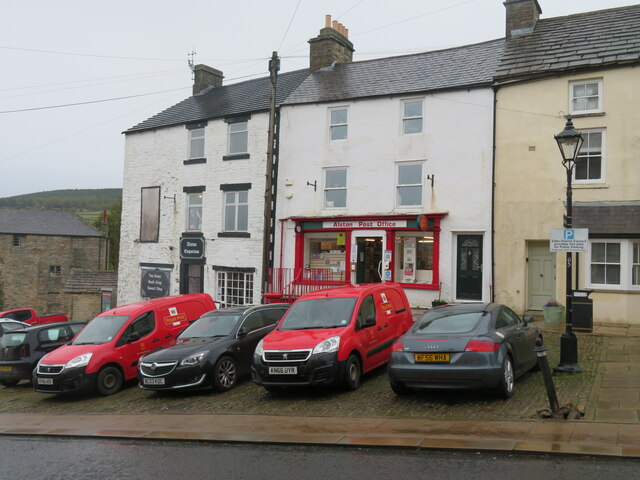
Alston, Cumbria

Alston is a town in Westmorland and Furness, Cumbria, England, within the civil parish of Alston Moor on the River South Tyne. It shares the title of the...

Samuel King's School

Samuel King's School is a mixed secondary school located in Alston in the English county of Cumbria. As of 2017 it had 73 students on roll. It is a comprehensive...

Alston Moor

Alston Moor, formerly known as Alston with Garrigill, is a civil parish and electoral ward in the Westmorland and Furness district, in the ceremonial county...

Alston Town Hall

Alston Town Hall is a municipal building in Front Street, Alston, Cumbria, England. The town hall, which is currently used as a public library, is a Grade...

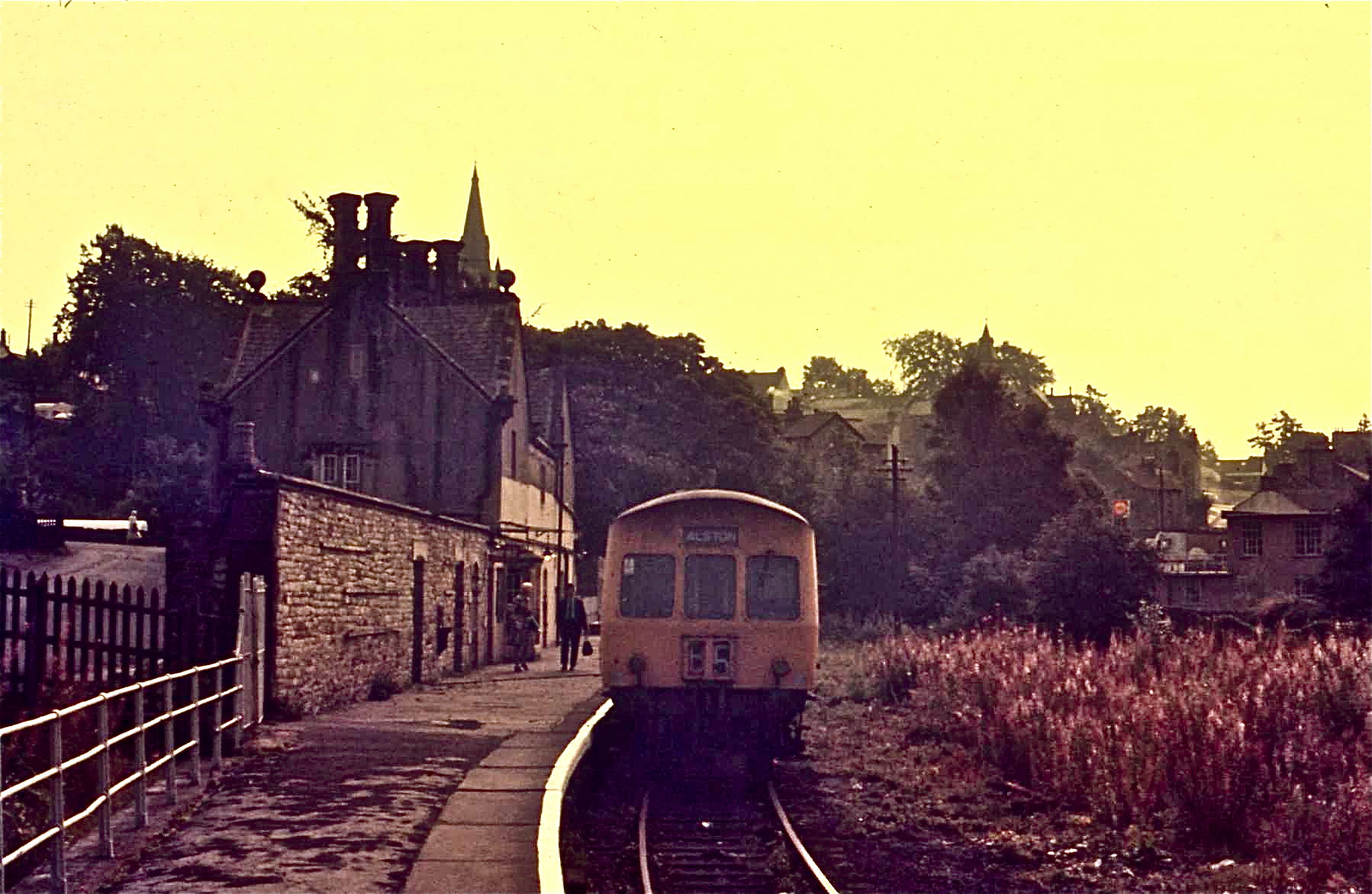
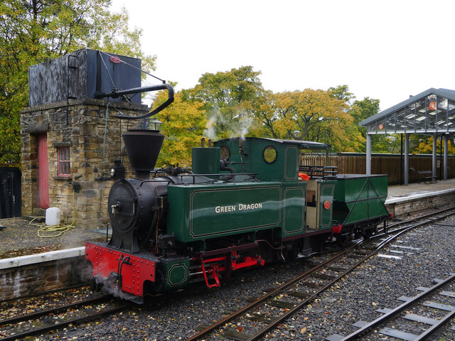
Alston railway station

Alston is a heritage railway station on the South Tynedale Railway. The station, situated 13 miles (21 km) south of Haltwhistle, is in the market town...

Leadgate, Cumbria

Leadgate is a small hamlet located at the foot of Hartside Fell between the town of Alston and the village of Garrigill in the parish of Alston Moor in...

Nearby Amenities

Located within 500m of 54.805119,-2.4642041
Natural: sinkhole
Lat/Long: 54.8010901/-2.4674178
Barrier: cattle_grid
Lat/Long: 54.8078077/-2.4616134
Abandoned: yes
Man Made: mineshaft
Lat/Long: 54.8071671/-2.4647875
Abandoned: yes
Man Made: mineshaft
Lat/Long: 54.8073079/-2.46448
Abandoned: yes
Man Made: mineshaft
Lat/Long: 54.806619/-2.4620469
Abandoned: yes
Man Made: mineshaft
Lat/Long: 54.805312/-2.4660911
Abandoned: yes
Man Made: mineshaft
Lat/Long: 54.8061328/-2.4669358
Power: pole
Lat/Long: 54.8088614/-2.4598721
Power: pole
Lat/Long: 54.8086048/-2.4615175
The data included in this document is from www.openstreetmap.org. The data is made available under ODbL.

Have you been to Blackhouse Plantation?

Leave your review of Blackhouse Plantation below (or comments, questions and feedback).