Westwood Covert
Wood, Forest in Shropshire
England
Westwood Covert
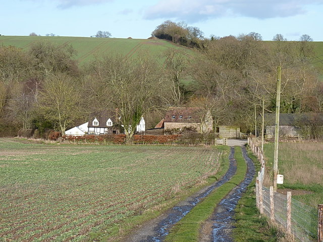
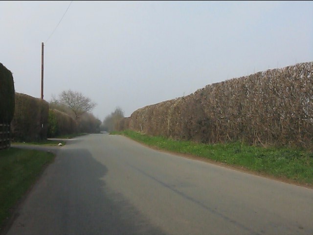
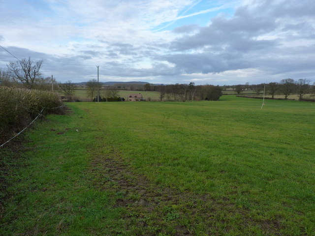
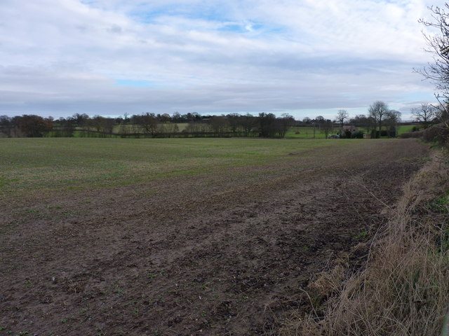
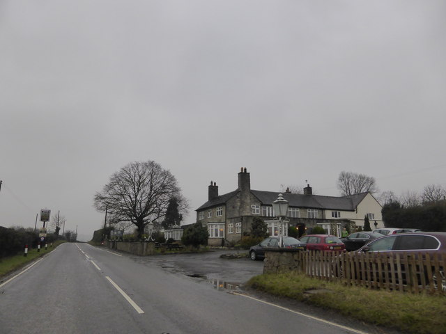
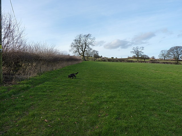
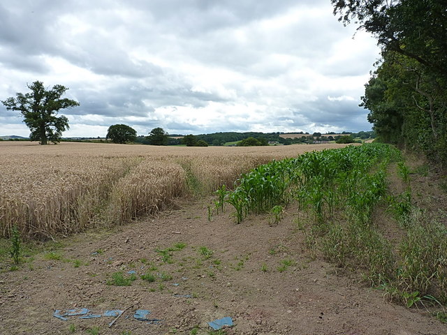
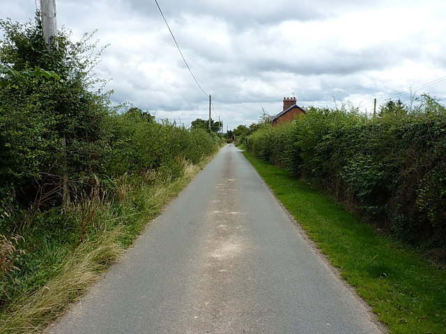
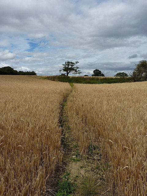
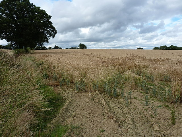
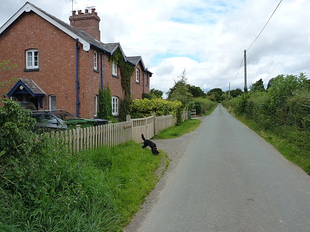
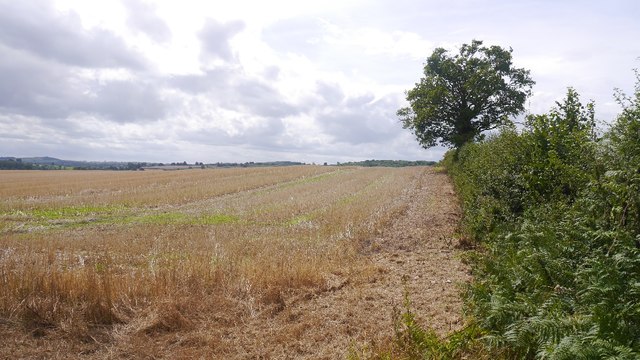
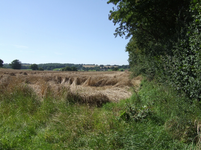
Westwood Covert is a picturesque woodland area located in the county of Shropshire, England. Situated near the village of Westwood, this woodland is known for its natural beauty and rich biodiversity. Covering an expansive area of approximately 50 acres, Westwood Covert offers a serene environment for nature lovers and outdoor enthusiasts.
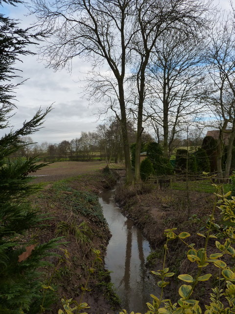
The woodland is primarily composed of a mix of deciduous and coniferous trees, including oak, beech, and pine, which create a vibrant and diverse ecosystem. The dense canopy provides shelter to a wide variety of wildlife, making it a popular spot for birdwatching and wildlife observation. Visitors may catch glimpses of woodpeckers, owls, deer, and other woodland creatures as they explore the area.
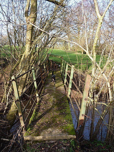
Several well-maintained walking trails wind their way through Westwood Covert, allowing visitors to fully immerse themselves in the natural surroundings. These trails offer a range of difficulty levels, making them suitable for casual strolls or more challenging hikes. Along the paths, visitors will encounter tranquil ponds, babbling brooks, and an array of wildflowers during the spring and summer months.
Westwood Covert is a designated Site of Special Scientific Interest (SSSI), highlighting its importance for conservation and preservation. The woodland is managed by local authorities, ensuring the protection of its natural habitat and promoting sustainable practices.
Overall, Westwood Covert in Shropshire offers a peaceful retreat from the bustle of everyday life, allowing visitors to connect with nature and appreciate the beauty of this ancient woodland.
If you have any feedback on the listing, please let us know in the comments section below.
Westwood Covert Images
Images are sourced within 2km of 52.512632/-2.4396942 or Grid Reference SO7090. Thanks to Geograph Open Source API. All images are credited.
Westwood Covert is located at Grid Ref: SO7090 (Lat: 52.512632, Lng: -2.4396942)
Unitary Authority: Shropshire
Police Authority: West Mercia
What 3 Words
///flop.builder.euphoric. Near Bridgnorth, Shropshire
Nearby Locations
Related Wikis

Oldbury, Shropshire
Oldbury is a small village and former civil parish, now in the parish of Bridgnorth, in the Shropshire district, in the ceremonial county of Shropshire...

Daniels Mill, Shropshire
Daniels Mill is a working water mill used for milling flour, located near Bridgnorth in the English county of Shropshire. The mill has the largest cast...

Eardington
Eardington is a small village and civil parish in Shropshire, England. It is near the A442 road and is two kilometres south of the town of Bridgnorth,...

Oldbury Wells School
Oldbury Wells School is a coeducational secondary school located in Bridgnorth, England. having 800 pupils, 122 of whom are in the sixth form. The school...
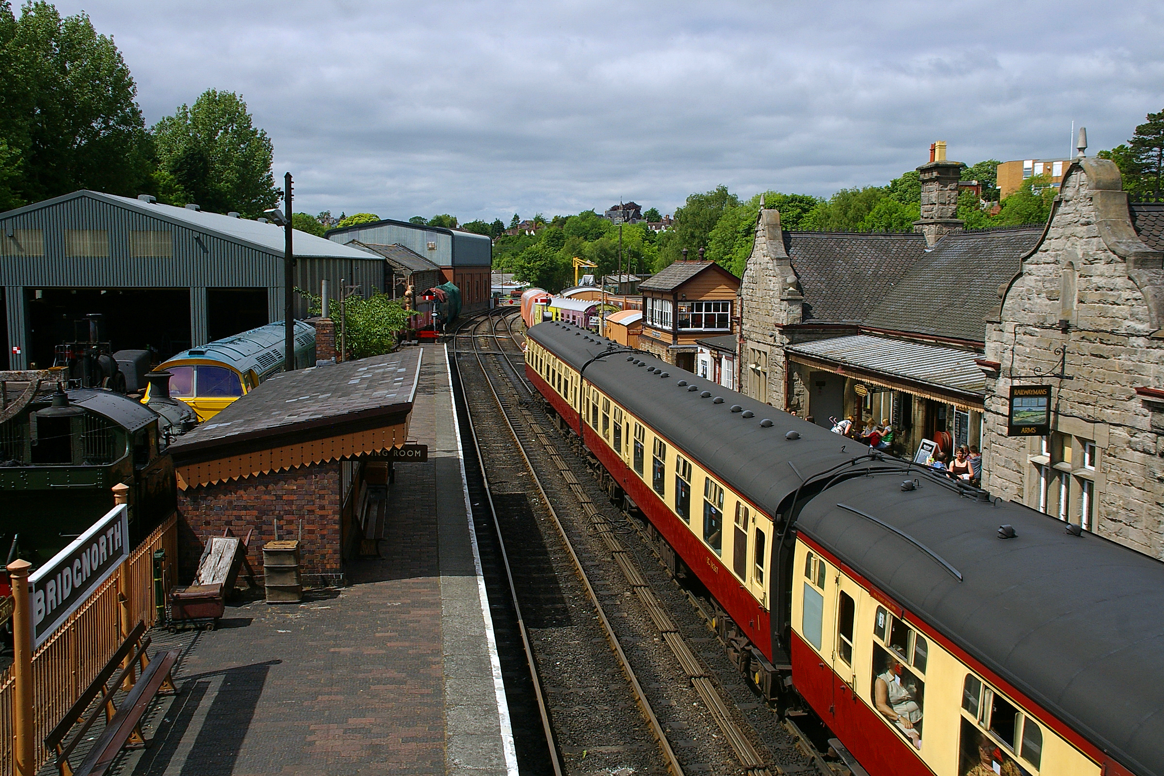
Bridgnorth railway station
Bridgnorth railway station is a station on the Severn Valley Railway heritage line, serving the Shropshire town of Bridgnorth, England. It is currently...
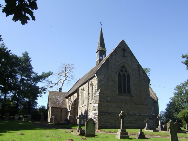
Glazeley
Glazeley is a hamlet and civil parish in Shropshire, England. It is situated on the B4363 road, southwest of Bridgnorth. There is a parish church in the...

Bridgnorth Castle
Bridgnorth Castle is a castle in the town of Bridgnorth, Shropshire. It is a scheduled monument, first listed in 1928. == History == === 12th century... ===

Astbury Hall
Astbury Hall is a stately home, with a 320-acre estate, at Chelmarsh, near Bridgnorth, in Shropshire, England. The building was destroyed by fire in 1889...
Have you been to Westwood Covert?
Leave your review of Westwood Covert below (or comments, questions and feedback).