Upper Penshill Coppice

Wood, Forest in Herefordshire

England

Upper Penshill Coppice

Cradley Hall Farm viewed from the A4103, Worcester to Hereford Road.
Cradley Hall Credit: Bob Embleton

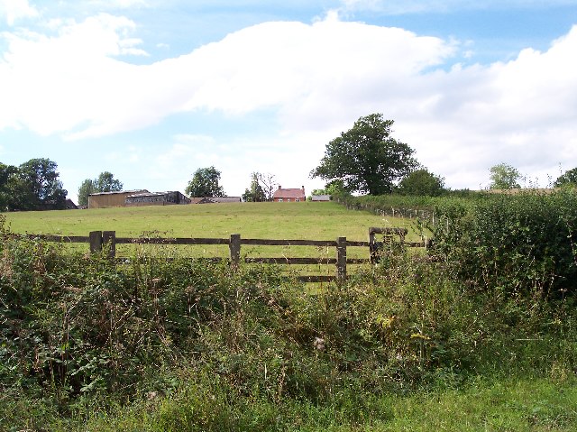
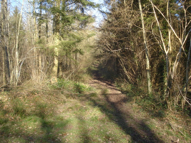
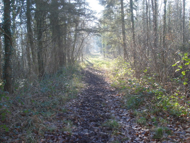
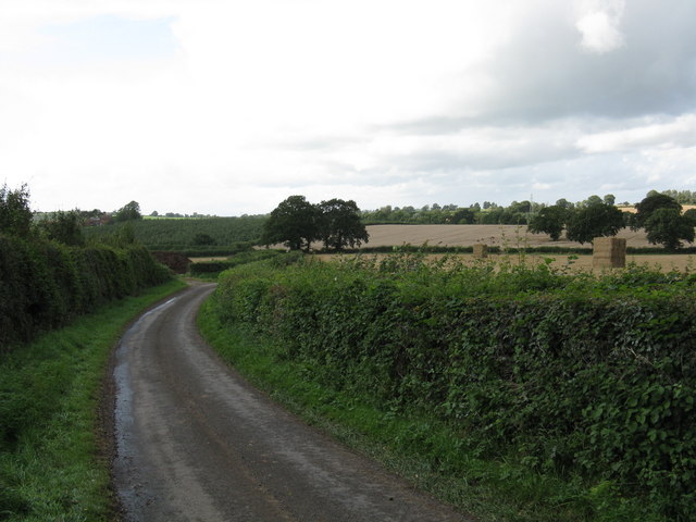
Upper Penshill Coppice is a picturesque woodland located in Herefordshire, England. Covering an area of approximately 50 acres, it is a thriving example of a mixed deciduous forest, characterized by a diverse range of tree species.

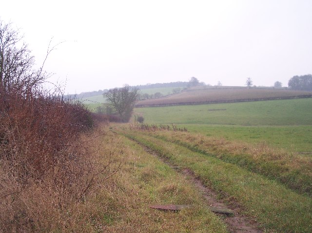
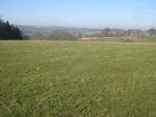
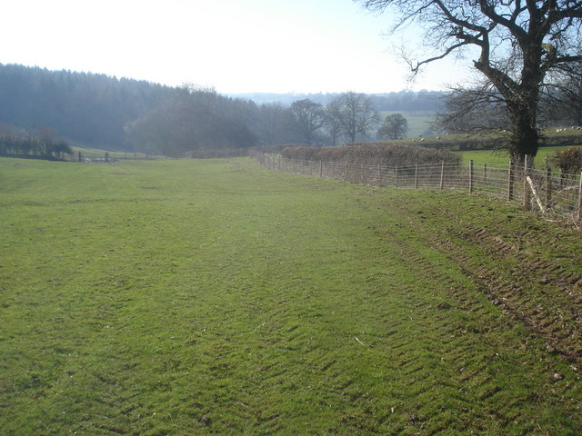
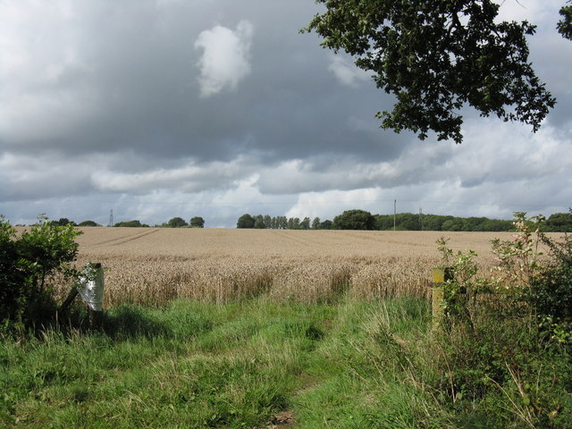
The coppice is situated on gently sloping terrain, with a variety of soil types supporting its rich biodiversity. The dominant tree species found here include oak, ash, beech, and birch, which create a dense canopy that shades the forest floor. This results in a cool and tranquil environment, perfect for wildlife and nature enthusiasts.

The woodland boasts a network of well-maintained footpaths, allowing visitors to explore its natural beauty. Along these paths, one can discover an array of native flora, including bluebells, wood anemones, and wild garlic, which create a vibrant carpet of color during the spring months.

Upper Penshill Coppice is home to a diverse range of wildlife, providing a sanctuary for many species. Birdwatchers can spot woodpeckers, owls, and various songbirds, while mammal enthusiasts may encounter badgers, foxes, and roe deer. The forest also supports a rich insect population, with butterflies, beetles, and spiders making their homes among the trees.

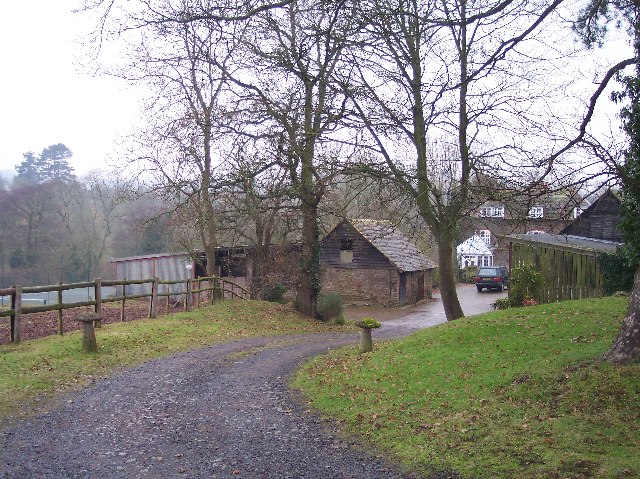
In addition to its natural beauty, Upper Penshill Coppice also has historical significance. The woodland has been managed sustainably for centuries, with evidence of traditional coppicing techniques still visible today. This ancient practice involves cutting trees at ground level and allowing new shoots to grow, providing a sustainable source of timber.

Overall, Upper Penshill Coppice is a valuable and enchanting woodland, offering visitors a chance to connect with nature and experience the beauty of a well-preserved forest ecosystem.

If you have any feedback on the listing, please let us know in the comments section below.

Upper Penshill Coppice Images

Images are sourced within 2km of 52.123781/-2.4358694 or Grid Reference SO7047. Thanks to Geograph Open Source API. All images are credited.

Cradley Hall Farm viewed from the A4103, Worcester to Hereford Road.
Cradley Hall
Farm viewed from the A4103, Worcester to Hereford Road.
Brook House Viewed from the south. The large house complete with stables, paddocks and tennis court stands on ground between the road to Evesbatch and the River Leadon.
Brook House
Viewed from the south. The large house complete with stables, paddocks and tennis court stands on ground between the road to Evesbatch and the River Leadon.
Evesbatch Church Dedicated to St Andrew. "an ancient edifice with square tower"
Evesbatch Church
Dedicated to St Andrew. "an ancient edifice with square tower"
Fields of Pool Farm, Evesbatch Looking south down a track from Pool Farm over the fields towards Ashen coppice on the ridge.
Fields of Pool Farm, Evesbatch
Looking south down a track from Pool Farm over the fields towards Ashen coppice on the ridge.
Track  to Collier's Mill and Dodd's Mill Looking south down what must have been an important old road in the past from close to Speen's Bridge.
Track to Collier's Mill and Dodd's Mill
Looking south down what must have been an important old road in the past from close to Speen's Bridge.
Footpath in Beacon Hill Wood Heading northwards along a muddy path in mixed woodland.
Footpath in Beacon Hill Wood
Heading northwards along a muddy path in mixed woodland.
Track through Beacon Hill Wood Looking southwards along the footpath, which broadens out towards the northern end of the wood.
Track through Beacon Hill Wood
Looking southwards along the footpath, which broadens out towards the northern end of the wood.
Farmland north of Beacon Hill Wood Looking north-west across the dome of a large field, with Beacon Hill Wood to the left.
Farmland north of Beacon Hill Wood
Looking north-west across the dome of a large field, with Beacon Hill Wood to the left.
Footpath from Hill Farm Looking south-west along the footpath, which hugs the hedge. The north end of Beacon Hill Wood is ahead in the valley below.
Footpath from Hill Farm
Looking south-west along the footpath, which hugs the hedge. The north end of Beacon Hill Wood is ahead in the valley below.
Hook Lane, Evesbatch
Delayed harvest This field, off Hook Lane, should have been harvested by early September.  The wet summer of 2008 has put matters behind schedule.
Delayed harvest
This field, off Hook Lane, should have been harvested by early September. The wet summer of 2008 has put matters behind schedule.
Evesbatch - Green Lane junction The junction of Hook Lane (ahead) and Green Lane, with the parish noticeboard and site of former phone box by the cottages.
Evesbatch - Green Lane junction
The junction of Hook Lane (ahead) and Green Lane, with the parish noticeboard and site of former phone box by the cottages.
Something's missing A patch of concrete and a flower tub mark the spot where Evesbatch's public call box used to be located, at the junction of Hook Lane with Green Lane.
Something's missing
A patch of concrete and a flower tub mark the spot where Evesbatch's public call box used to be located, at the junction of Hook Lane with Green Lane.
Green Lane, Evesbatch The lane heads up to Evesbatch church between orchards.
Green Lane, Evesbatch
The lane heads up to Evesbatch church between orchards.
Hillside near Cradley Hall Farm
Streamside field
Streamside field
Evesbatch junction, A4103
Lone sheep Baa-ly No-mates in a field opposite the A4103's Evesbatch junction.
Lone sheep
Baa-ly No-mates in a field opposite the A4103's Evesbatch junction.
Show me another place!

Upper Penshill Coppice is located at Grid Ref: SO7047 (Lat: 52.123781, Lng: -2.4358694)

Unitary Authority: County of Herefordshire

Police Authority: West Mercia

What 3 Words

///window.iterative.voices. Near Evesbatch, Herefordshire

Related Wikis

A4103 road

The A4103 is an A-road which runs from Worcester to the A480 in Stretton Sugwas, a village 2 miles (3.2 km) west of Hereford. The road is a primary route...

Evesbatch

Evesbatch is a village and civil parish 12 miles (19 km) north east of Hereford, in the county of Herefordshire, England. In 2001 the parish had a population...

Fromes Hill

Fromes Hill is a hamlet in the civil parish of Bishop's Frome, in Herefordshire, England, and is about 15 miles (24 km) east from the city and county town...

Acton Green, Herefordshire

Acton Green is a village in the north east of the English county of Herefordshire (historically Worcestershire) between Bromyard and Great Malvern. �...

Halmond's Frome

Halmond's Frome is a hamlet in the civil parish of Bishop's Frome in Herefordshire, England, and is 11 miles (18 km) north-east from the city and county...

Cradley, Herefordshire

Cradley () is a village in the civil parish of Cradley and Storridge, in Herefordshire, England. The nearest Herefordshire to Cradley towns are Ledbury...

Acton Beauchamp

Acton Beauchamp () is a village and civil parish in Herefordshire, England. It is approximately 12 miles (19 km) north-east from the city and county town...

Mathon, Herefordshire

Mathon is a small village and civil parish in eastern Herefordshire, England, lying just to the west of the Malvern Hills between Malvern and Ledbury....

Nearby Amenities

Located within 500m of 52.123781,-2.4358694
Seed Farm
Power: pole
Transformer: distribution
Voltage Primary: 11000
Lat/Long: 52.1263528/-2.432144
Power: pole
Lat/Long: 52.1269653/-2.4322969
The data included in this document is from www.openstreetmap.org. The data is made available under ODbL.

Have you been to Upper Penshill Coppice?

Leave your review of Upper Penshill Coppice below (or comments, questions and feedback).