Baylham
Settlement in Suffolk Mid Suffolk
England
Baylham
Baylham is a small village located in the county of Suffolk, in eastern England. It lies about five miles north of Ipswich, the county town, and is situated within the Babergh district. The village has a population of around 300 residents.
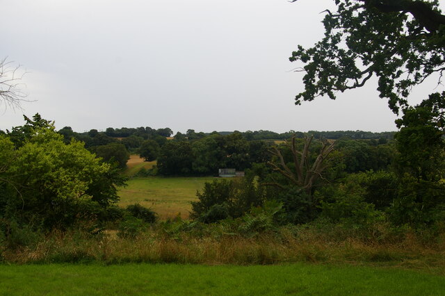
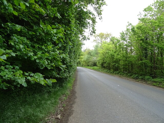
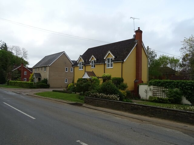
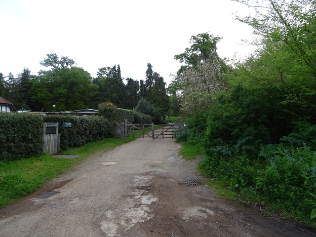
Baylham is known for its picturesque rural setting and beautiful countryside surroundings. It is surrounded by farmland, meadows, and rolling hills, offering stunning views and a tranquil atmosphere. The village is primarily residential, with a mix of traditional and modern houses.
One of the notable attractions in Baylham is Baylham House Rare Breeds Farm. This family-friendly farm offers visitors the opportunity to see and interact with a variety of rare and native breeds of farm animals. It is a popular destination for families, school trips, and animal lovers, who can learn about the importance of preserving these rare breeds.
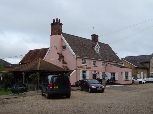
The village also has a small local pub, The Case is Altered, which dates back to the 16th century. It offers a cozy atmosphere and serves traditional pub food and drinks.
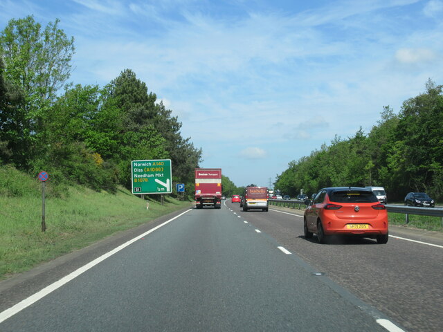
Baylham is well-connected to the surrounding areas by road, with the A14 and A12 highways nearby. The village does not have its own railway station, but the Ipswich railway station is easily accessible, providing connections to major cities such as London.
Overall, Baylham offers a peaceful and idyllic rural setting, making it an attractive destination for those seeking a tranquil escape or a taste of the English countryside.
If you have any feedback on the listing, please let us know in the comments section below.
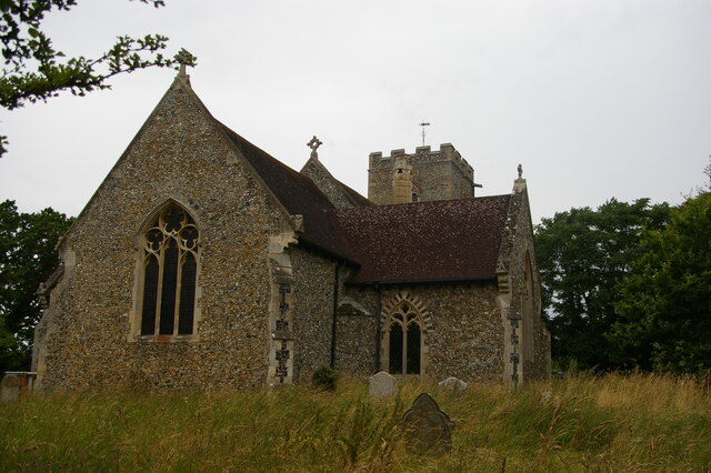
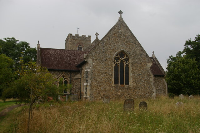
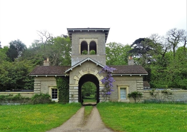
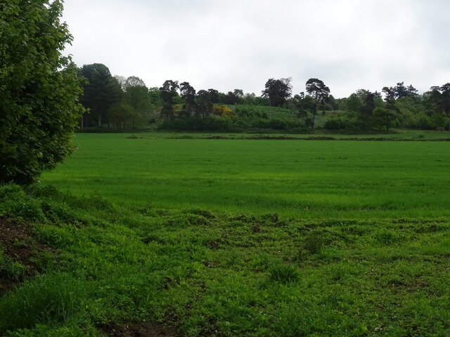
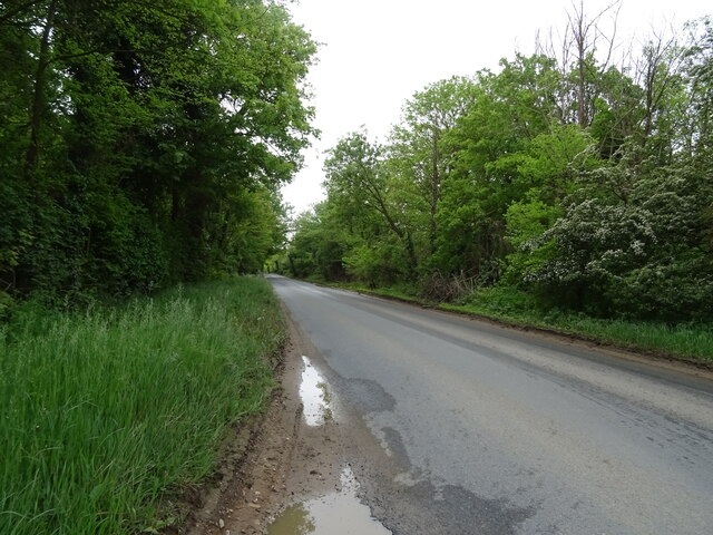
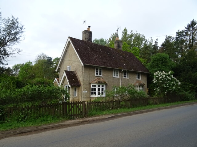
Baylham Images
Images are sourced within 2km of 52.12852/1.081617 or Grid Reference TM1152. Thanks to Geograph Open Source API. All images are credited.


Baylham is located at Grid Ref: TM1152 (Lat: 52.12852, Lng: 1.081617)
Administrative County: Suffolk
District: Mid Suffolk
Police Authority: Suffolk
What 3 Words
///testers.wand.rental. Near Claydon, Suffolk
Nearby Locations
Related Wikis

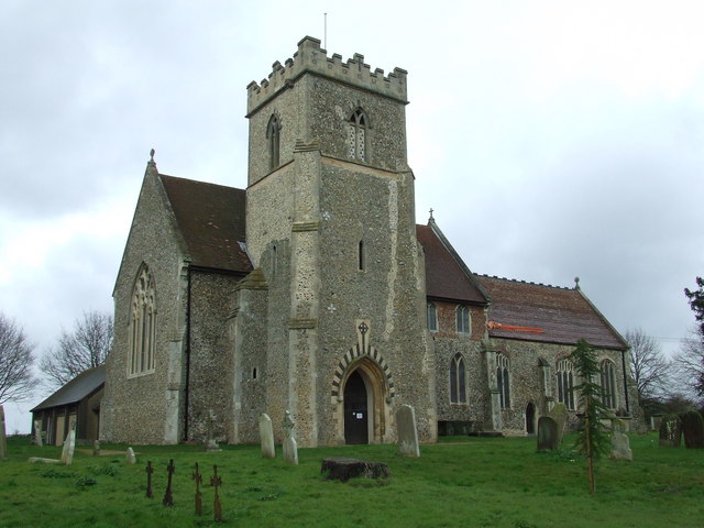
Baylham
Baylham is a village and civil parish, 1,349 acres size, in the Mid Suffolk district of Suffolk, England, about 7 miles (11 km) northwest of Ipswich and...

Shrubland Hall
Shrubland Hall, Coddenham, Suffolk, is a historic English country house with planned gardens in Suffolk, England, built in the 1770s. The Hall was used...
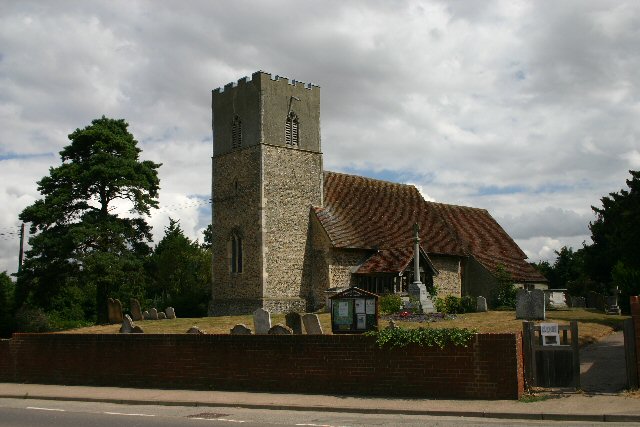
St Mary's Church, Great Blakenham
St Mary's Church is located in the village of Great Blakenham near Ipswich. It is an active Anglican parish church in the deanery of Bosmere, part of the...
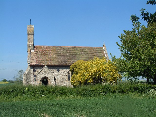
Darmsden
Darmsden is a hamlet and civil parish in the Mid Suffolk district of Suffolk, England. Located near the A14 road around 2 kilometres (1 mi) south of the...
Great Blakenham
Great Blakenham is a village and civil parish in the Mid Suffolk district of Suffolk in eastern England located near the town of Ipswich. An energy from...
Barham, Suffolk
Barham is a village and civil parish in the Mid Suffolk district of Suffolk, England. The village is on the River Gipping. Surrounded by Great Blakenham...

Bosmere and Claydon Rural District
Bosmere and Claydon Rural District was a rural district within the administrative county of East Suffolk between 1894 and 1934. It was created out of the...
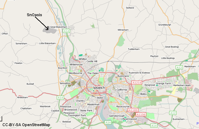
Valley Ridge (Winter sports resort)
Valley Ridge (formerly known as SnOasis) was a proposed ski and sports resort in Great Blakenham near Ipswich, Suffolk, England. In March 2021, the plan...
Nearby Amenities
Located within 500m of 52.12852,1.081617Have you been to Baylham?
Leave your review of Baylham below (or comments, questions and feedback).