Glas Eilean Beag
Coastal Feature, Headland, Point in Argyllshire
Scotland
Glas Eilean Beag
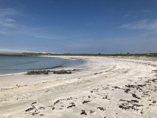
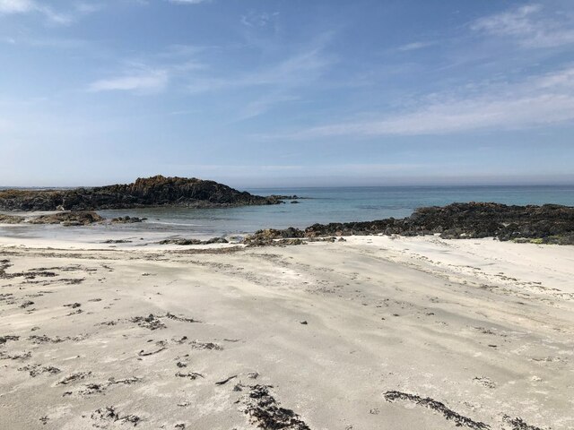
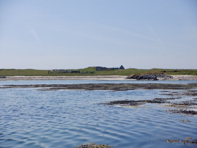
Glas Eilean Beag is a coastal feature located in Argyllshire, Scotland. It is a captivating headland that juts out into the sea, forming a distinctive point. The name "Glas Eilean Beag" translates to "small green island" in English, which perfectly encapsulates the natural beauty and lush surroundings of this area.
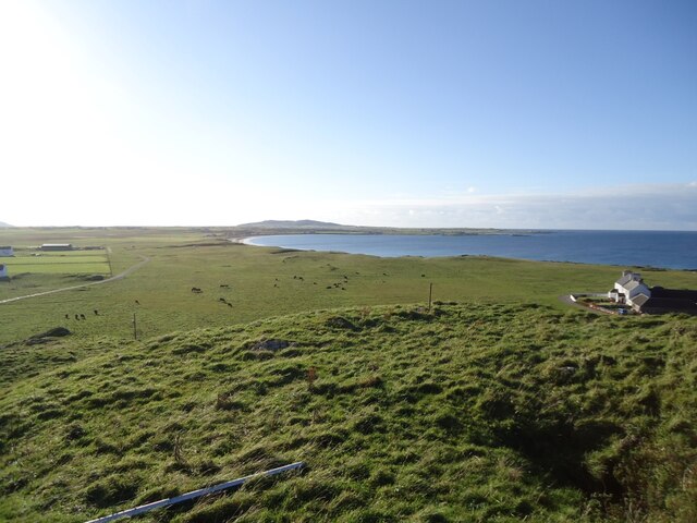
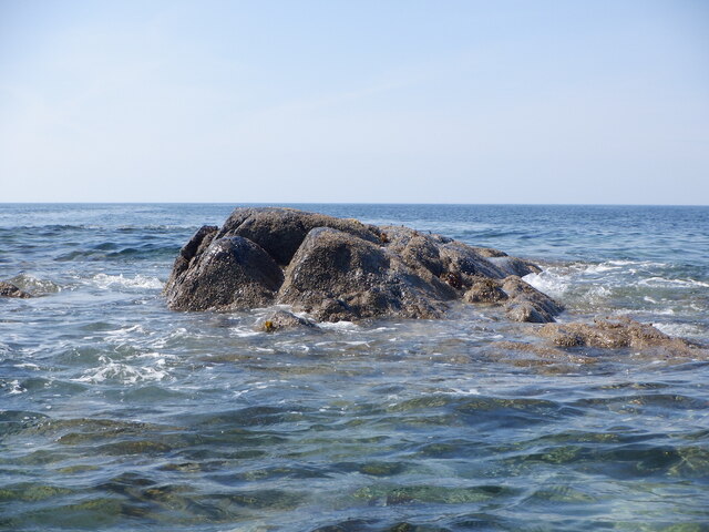
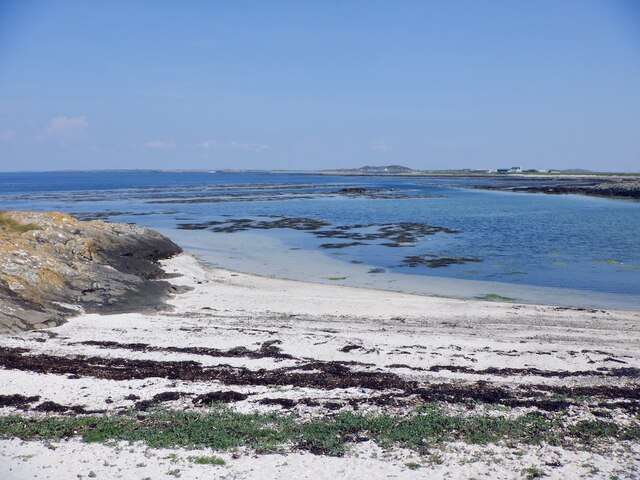
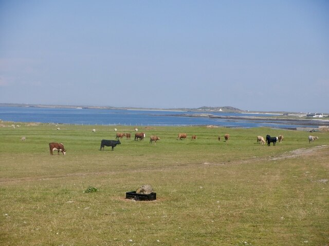
Situated in the picturesque region of Argyllshire, Glas Eilean Beag offers breathtaking views of the surrounding landscape. The headland boasts rugged cliffs, which provide a dramatic backdrop to the crashing waves of the Atlantic Ocean. The area is known for its stunning rock formations, which have been shaped by centuries of coastal erosion.
Glas Eilean Beag is a popular spot for nature enthusiasts and photographers due to its diverse wildlife and panoramic vistas. From the headland, visitors can observe various seabirds, such as puffins, guillemots, and razorbills, nesting on the cliffs. The surrounding waters are also home to seals, dolphins, and occasionally whales, making it a haven for marine life.
The headland is easily accessible by foot, with several walking trails leading visitors to the point. These trails wind through heather-covered moorland and provide an opportunity to immerse oneself in the natural splendor of the area. Additionally, there are designated viewpoints along the headland that offer exceptional views of the coastline and the nearby islands.
Glas Eilean Beag is a place of tranquility and natural splendor, drawing visitors from near and far to experience its rugged charm and breathtaking scenery. Whether it's witnessing the power of the sea or spotting rare wildlife, this coastal feature is a must-visit destination for nature lovers and adventurers alike.
If you have any feedback on the listing, please let us know in the comments section below.
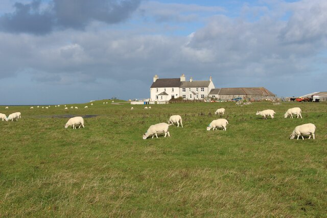
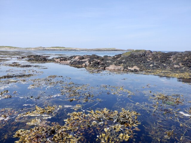
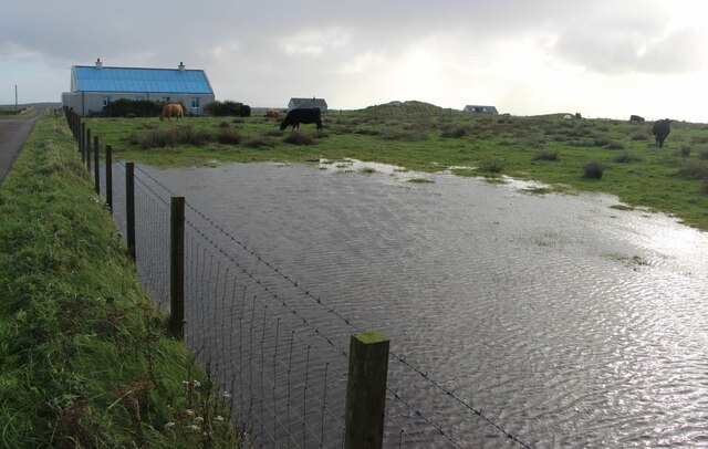
Glas Eilean Beag Images
Images are sourced within 2km of 56.523881/-6.8868365 or Grid Reference NL9947. Thanks to Geograph Open Source API. All images are credited.


Glas Eilean Beag is located at Grid Ref: NL9947 (Lat: 56.523881, Lng: -6.8868365)
Unitary Authority: Argyll and Bute
Police Authority: Argyll and West Dunbartonshire
What 3 Words
///tower.rezoning.flooding. Near Scarinish, Argyll & Bute
Nearby Locations
Related Wikis

Tiree Airport
Tiree Airport (Scottish Gaelic: Port-adhair Thiriodh) (IATA: TRE, ICAO: EGPU) is located 2.5 nautical miles (4.6 km; 2.9 mi) north northeast of Balemartine...

Tiree
Tiree (; Scottish Gaelic: Tiriodh, pronounced [ˈtʲʰiɾʲəɣ]) is the most westerly island in the Inner Hebrides of Scotland. The low-lying island, southwest...

Tiree Music Festival
Tiree Music Festival is a Scottish folk music festival held annually on the Island of Tiree in the Inner Hebrides. The festival was founded in 2010 by...

Dun Mor Vaul
Dun Mor Vaul (or simply Dun Mor; Scottish Gaelic: Dùn Mòr) is an iron-age broch located on the north coast of the island of Tiree, in Scotland. ��2�...
Nearby Amenities
Located within 500m of 56.523881,-6.8868365Have you been to Glas Eilean Beag?
Leave your review of Glas Eilean Beag below (or comments, questions and feedback).