Glas Eilean Mòr

Coastal Feature, Headland, Point in Argyllshire

Scotland

Glas Eilean Mòr

Tràigh Bheag East side of Balephetrish Bay, Tiree
Tràigh Bheag Credit: Richard Webb

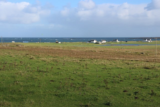
Glas Eilean Mòr is a prominent coastal feature located in Argyllshire, Scotland. It is specifically classified as a headland or point, due to its distinctive shape and geographical characteristics. The headland is situated on the western coast of Argyllshire, about 10 miles southwest of the town of Oban.

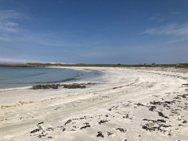
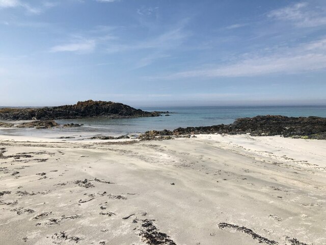
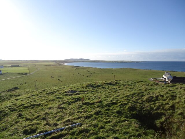
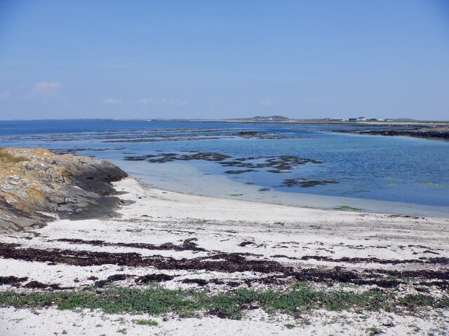
Glas Eilean Mòr is characterized by its rugged and rocky terrain, which extends out into the sea, forming a narrow peninsula. The headland is primarily composed of ancient volcanic rock, giving it a unique and dramatic appearance. Its cliffs rise steeply from the sea, offering stunning panoramic views of the surrounding coastline and the nearby islands of the Inner Hebrides.

The name "Glas Eilean Mòr" translates to "big green island" in Gaelic, referring to the green vegetation that covers parts of the headland. The area is home to a diverse range of plant and animal species, including seabirds that nest on the cliffs and marine life in the surrounding waters.

Due to its exposed location, Glas Eilean Mòr is subject to strong winds and rough seas, making it a popular spot for outdoor enthusiasts seeking adventure and exploration. The headland offers opportunities for hiking, rock climbing, and birdwatching, attracting visitors from near and far.

Overall, Glas Eilean Mòr is a captivating coastal feature in Argyllshire, with its striking geological formations, breathtaking views, and abundant wildlife making it a must-visit destination for nature lovers and adventure seekers alike.

If you have any feedback on the listing, please let us know in the comments section below.

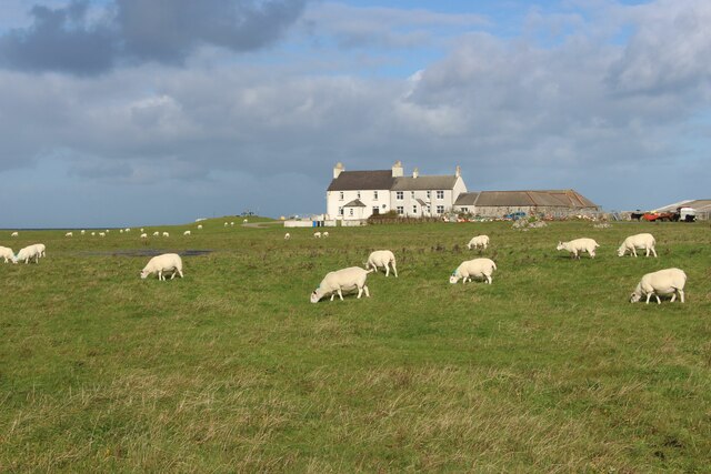
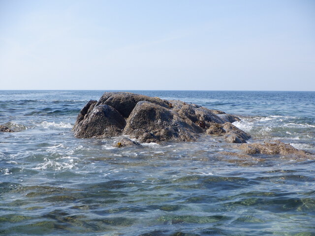
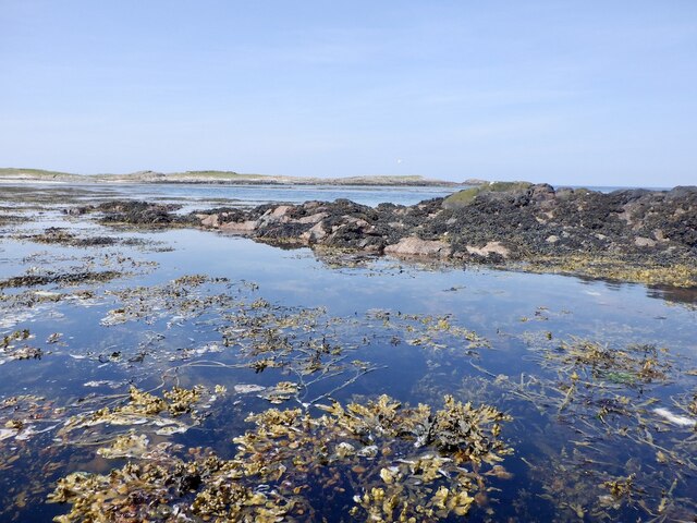
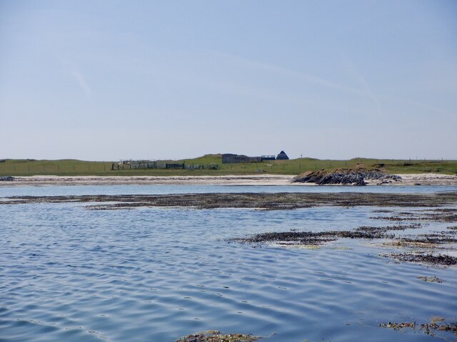
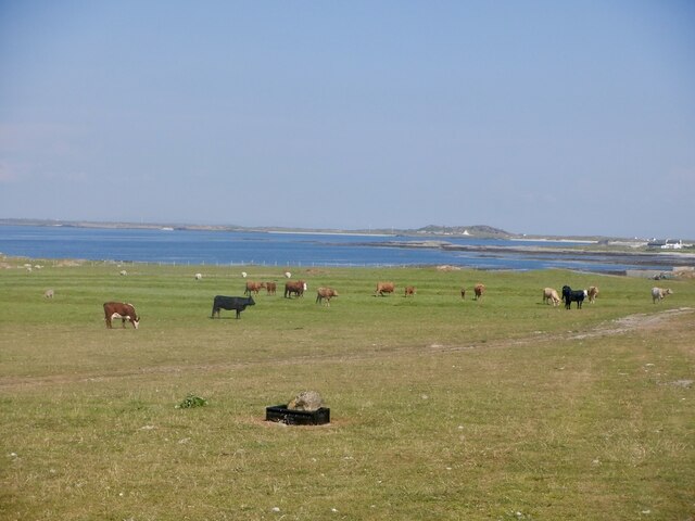
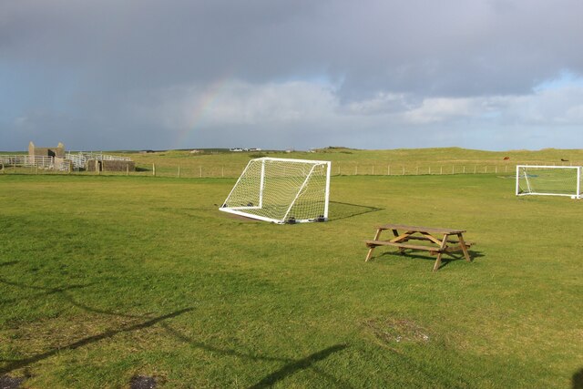
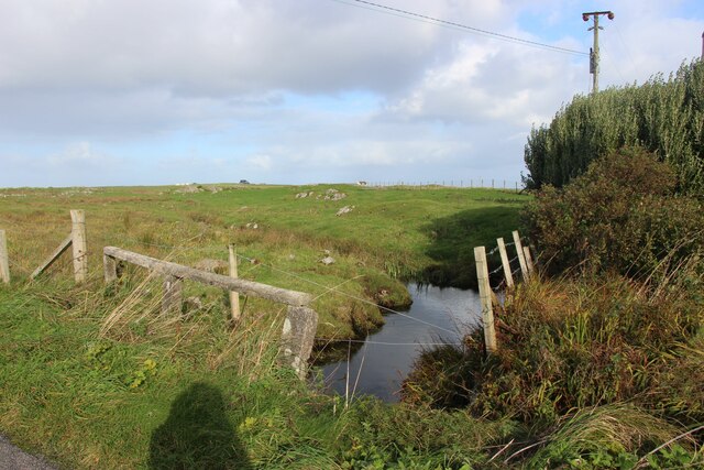
Glas Eilean Mòr Images

Images are sourced within 2km of 56.52621/-6.8875602 or Grid Reference NL9947. Thanks to Geograph Open Source API. All images are credited.

Tràigh Bheag East side of Balephetrish Bay, Tiree
Tràigh Bheag
East side of Balephetrish Bay, Tiree
Tràigh Bheag
Tràigh Bheag
From the summit of Balephetrish Hill, Tiree Central and eastern Tiree is very flat, and this hill, though only 36m high, gives an extensive view. In the distance, about 6km away, is Beinn Hough, which at only 119m is the second highest hill on Tiree.
From the summit of Balephetrish Hill, Tiree
Central and eastern Tiree is very flat, and this hill, though only 36m high, gives an extensive view. In the distance, about 6km away, is Beinn Hough, which at only 119m is the second highest hill on Tiree.
Tràigh Bheag, Balephetrish
Port Bàn, Balephetrish
Port Bàn, Balephetrish Got a telling off from the local oystercatchers, there was a lot of activity here, the isolated rock on the left in particular seemed to be a nesting site for several species. Retreat made.
Port Bàn, Balephetrish
Got a telling off from the local oystercatchers, there was a lot of activity here, the isolated rock on the left in particular seemed to be a nesting site for several species. Retreat made.
Crops harvested and baled at Balephetrish
Balephetrish, a farm on north Tiree
Wrack, Port Fada High water, this area dries at low tide.
Wrack, Port Fada
High water, this area dries at low tide.
Sgeir Fada Very little of the skerry emerges from a neap high water. Another rock nearby was also dry.
Sgeir Fada
Very little of the skerry emerges from a neap high water. Another rock nearby was also dry.
Beach at Port Fada Near high water.
Beach at Port Fada
Near high water.
Port Fada Rocks and seaweed near high water. Most of the square dries.
Port Fada
Rocks and seaweed near high water. Most of the square dries.
Beach, Port Fada
Beach, Port Fada
Cattle near Ainshval North coast of Tiree.
Cattle near Ainshval
North coast of Tiree.
A playing field at Tiree High School
A burn draining moorland bogs at Cornaigbeg
House at Cornaigbeg
House at Cornaigbeg
Houses at Balephetrish Bay
Show me another place!

Glas Eilean Mòr is located at Grid Ref: NL9947 (Lat: 56.52621, Lng: -6.8875602)

Unitary Authority: Argyll and Bute

Police Authority: Argyll and West Dunbartonshire

What 3 Words

///spending.unravel.appointed. Near Scarinish, Argyll & Bute

Related Wikis

Tiree Airport

Tiree Airport (Scottish Gaelic: Port-adhair Thiriodh) (IATA: TRE, ICAO: EGPU) is located 2.5 nautical miles (4.6 km; 2.9 mi) north northeast of Balemartine...

Tiree

Tiree (; Scottish Gaelic: Tiriodh, pronounced [ˈtʲʰiɾʲəɣ]) is the most westerly island in the Inner Hebrides of Scotland. The low-lying island, southwest...

Tiree Music Festival

Tiree Music Festival is a Scottish folk music festival held annually on the Island of Tiree in the Inner Hebrides. The festival was founded in 2010 by...

Dun Mor Vaul

Dun Mor Vaul (or simply Dun Mor; Scottish Gaelic: Dùn Mòr) is an iron-age broch located on the north coast of the island of Tiree, in Scotland. ��2�...

Nearby Amenities

Located within 500m of 56.52621,-6.8875602
Created By: dmgroom_coastlines
Source: PGS
Lat/Long: 56.52433/-6.89494
Created By: dmgroom_coastlines
Source: PGS
Lat/Long: 56.52484/-6.89468
Created By: dmgroom_coastlines
Source: PGS
Lat/Long: 56.52535/-6.89442
Created By: dmgroom_coastlines
Source: PGS
Lat/Long: 56.52534/-6.89349
Created By: dmgroom_coastlines
Source: PGS
Lat/Long: 56.52584/-6.89346
Created By: dmgroom_coastlines
Source: PGS
Lat/Long: 56.52583/-6.89254
Created By: dmgroom_coastlines
Source: PGS
Lat/Long: 56.52634/-6.89275
Created By: dmgroom_coastlines
Source: PGS
Lat/Long: 56.5266/-6.89296
Created By: dmgroom_coastlines
Source: PGS
Lat/Long: 56.52672/-6.89249
Created By: dmgroom_coastlines
Source: PGS
Lat/Long: 56.52684/-6.89202
Created By: dmgroom_coastlines
Source: PGS
Lat/Long: 56.52658/-6.8918
Created By: dmgroom_coastlines
Source: PGS
Lat/Long: 56.52607/-6.8916
Source: PGS
Lat/Long: 56.5253663/-6.89115
Source: PGS
Lat/Long: 56.5247859/-6.8905158
Source: PGS
Lat/Long: 56.5248309/-6.889965
Source: PGS
Lat/Long: 56.5248592/-6.8895127
Source: PGS
Lat/Long: 56.5246723/-6.8891988
Source: PGS
Lat/Long: 56.524242/-6.8888611
Source: PGS
Lat/Long: 56.523963/-6.8885334
Source: PGS
Lat/Long: 56.5237734/-6.8881624
Source: PGS
Lat/Long: 56.5236094/-6.8876001
Source: PGS
Lat/Long: 56.5233833/-6.8877007
Source: PGS
Lat/Long: 56.5229366/-6.887954
Source: PGS
Lat/Long: 56.5225228/-6.8879043
Source: PGS
Lat/Long: 56.5222077/-6.888072
Power: pole
Lat/Long: 56.523897/-6.8910556
Power: pole
Lat/Long: 56.5231864/-6.8920713
Power: pole
Lat/Long: 56.5226681/-6.8908465
Power: pole
Lat/Long: 56.5223233/-6.8899955
Power: pole
Lat/Long: 56.5219844/-6.8891783
Power: pole
Lat/Long: 56.5217351/-6.8883737
Power: pole
Lat/Long: 56.5221999/-6.8884434
Power: pole
Lat/Long: 56.5227205/-6.8883315
The data included in this document is from www.openstreetmap.org. The data is made available under ODbL.

Have you been to Glas Eilean Mòr?

Leave your review of Glas Eilean Mòr below (or comments, questions and feedback).