Garbh Phort

Coastal Feature, Headland, Point in Argyllshire

Scotland

Garbh Phort

Tràigh Bheag East side of Balephetrish Bay, Tiree
Tràigh Bheag Credit: Richard Webb

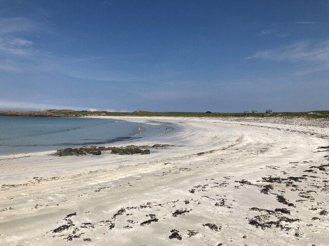
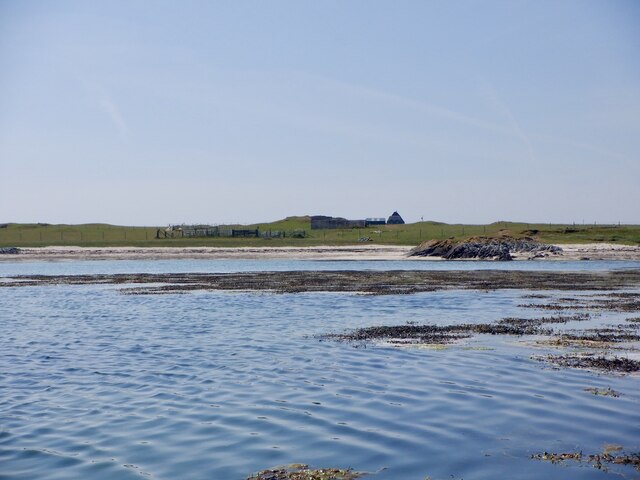
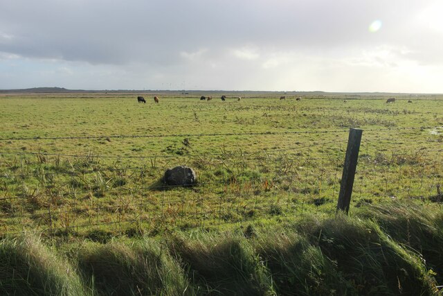
Garbh Phort is a prominent coastal feature located in Argyllshire, Scotland. It is classified as a headland, also commonly referred to as a point, due to its geographical characteristics. This picturesque location is known for its rugged and dramatic terrain, making it a popular attraction for nature enthusiasts and tourists alike.

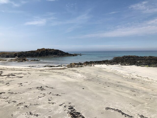
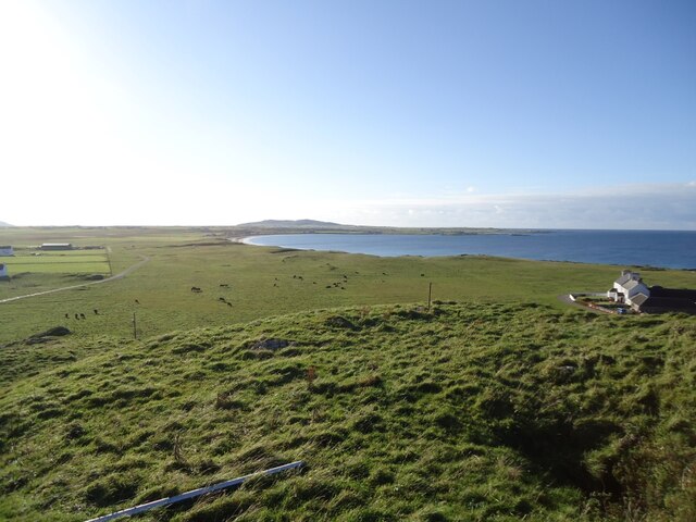
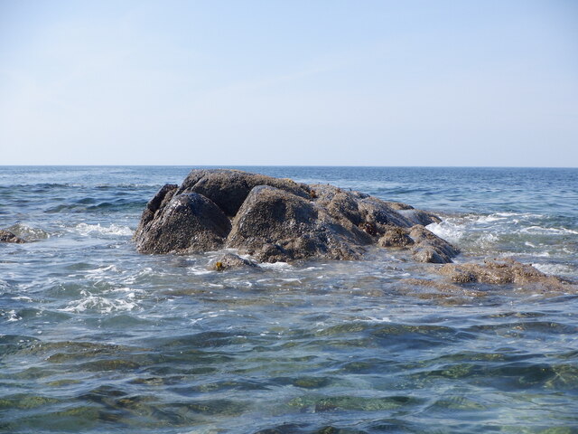
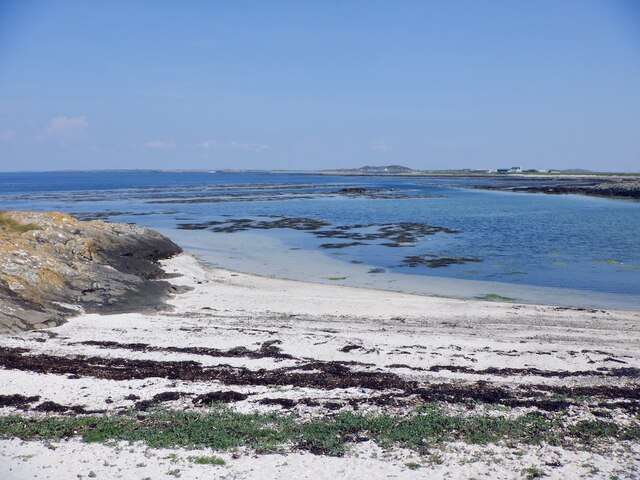
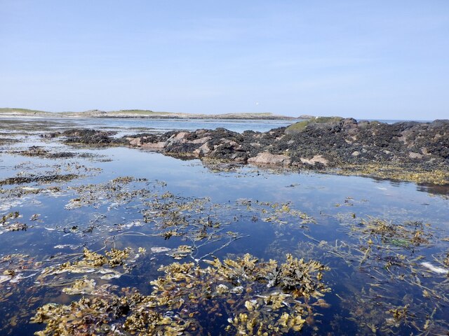
Situated on the western coast of Scotland, Garbh Phort offers breathtaking views of the surrounding landscape. The headland is characterized by steep cliffs, which are often battered by the relentless waves of the Atlantic Ocean. The jagged coastline is punctuated by hidden coves and caves, adding to its allure.

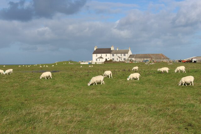
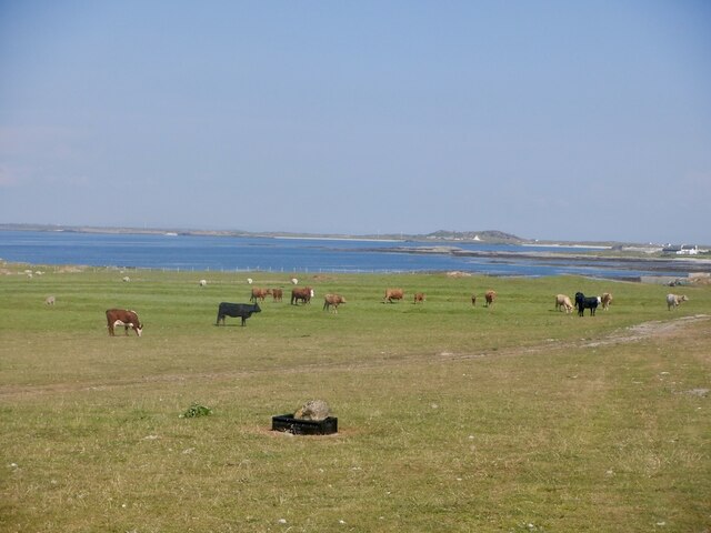
The area surrounding Garbh Phort is rich in biodiversity, with a variety of plant and animal species thriving in its diverse habitats. Seabirds such as gannets, puffins, and razorbills can often be spotted nesting on the cliffs, providing a haven for birdwatchers. Marine life is also abundant in the waters off the headland, with seals and dolphins occasionally making appearances.

Access to Garbh Phort is relatively easy, with a well-maintained footpath leading visitors to the headland. This allows for leisurely walks and hikes, providing opportunities for exploration and photography. The views from Garbh Phort are particularly stunning during sunrise and sunset, offering a mesmerizing play of colors across the sky and sea.

Overall, Garbh Phort in Argyllshire is a captivating coastal feature that showcases the raw beauty of Scotland's western coastline. Its rugged cliffs, diverse wildlife, and breathtaking views make it a must-visit destination for those seeking an authentic Scottish experience.

If you have any feedback on the listing, please let us know in the comments section below.

Garbh Phort Images

Images are sourced within 2km of 56.524393/-6.8877815 or Grid Reference NL9947. Thanks to Geograph Open Source API. All images are credited.

Tràigh Bheag East side of Balephetrish Bay, Tiree
Tràigh Bheag
East side of Balephetrish Bay, Tiree
Tràigh Bheag
Tràigh Bheag
From the summit of Balephetrish Hill, Tiree Central and eastern Tiree is very flat, and this hill, though only 36m high, gives an extensive view. In the distance, about 6km away, is Beinn Hough, which at only 119m is the second highest hill on Tiree.
From the summit of Balephetrish Hill, Tiree
Central and eastern Tiree is very flat, and this hill, though only 36m high, gives an extensive view. In the distance, about 6km away, is Beinn Hough, which at only 119m is the second highest hill on Tiree.
Tràigh Bheag, Balephetrish
Port Bàn, Balephetrish
Port Bàn, Balephetrish Got a telling off from the local oystercatchers, there was a lot of activity here, the isolated rock on the left in particular seemed to be a nesting site for several species. Retreat made.
Port Bàn, Balephetrish
Got a telling off from the local oystercatchers, there was a lot of activity here, the isolated rock on the left in particular seemed to be a nesting site for several species. Retreat made.
Crops harvested and baled at Balephetrish
Balephetrish, a farm on north Tiree
Wrack, Port Fada High water, this area dries at low tide.
Wrack, Port Fada
High water, this area dries at low tide.
Sgeir Fada Very little of the skerry emerges from a neap high water. Another rock nearby was also dry.
Sgeir Fada
Very little of the skerry emerges from a neap high water. Another rock nearby was also dry.
Beach at Port Fada Near high water.
Beach at Port Fada
Near high water.
Port Fada Rocks and seaweed near high water. Most of the square dries.
Port Fada
Rocks and seaweed near high water. Most of the square dries.
Beach, Port Fada
Beach, Port Fada
Cattle near Ainshval North coast of Tiree.
Cattle near Ainshval
North coast of Tiree.
A playing field at Tiree High School
A burn draining moorland bogs at Cornaigbeg
House at Cornaigbeg
House at Cornaigbeg
Tiree aerodrome, the perimeter
Show me another place!

Garbh Phort is located at Grid Ref: NL9947 (Lat: 56.524393, Lng: -6.8877815)

Unitary Authority: Argyll and Bute

Police Authority: Argyll and West Dunbartonshire

What 3 Words

///paradise.marathons.breezy. Near Scarinish, Argyll & Bute

Related Wikis

Tiree Airport

Tiree Airport (Scottish Gaelic: Port-adhair Thiriodh) (IATA: TRE, ICAO: EGPU) is located 2.5 nautical miles (4.6 km; 2.9 mi) north northeast of Balemartine...

Tiree

Tiree (; Scottish Gaelic: Tiriodh, pronounced [ˈtʲʰiɾʲəɣ]) is the most westerly island in the Inner Hebrides of Scotland. The low-lying island, southwest...

Tiree Music Festival

Tiree Music Festival is a Scottish folk music festival held annually on the Island of Tiree in the Inner Hebrides. The festival was founded in 2010 by...

Dun Mor Vaul

Dun Mor Vaul (or simply Dun Mor; Scottish Gaelic: Dùn Mòr) is an iron-age broch located on the north coast of the island of Tiree, in Scotland. ��2�...

Scarinish

Scarinish (Scottish Gaelic: Sgairinis [ˈs̪kaɾʲɪnɪʃ]) is the main village on the island of Tiree, in the Inner Hebrides of Scotland. It is located on the...

Mannal

Mannal is a coastal hamlet on the west side of Hynish Bay, on the island of Tiree, Scotland. The township of Mannal lies on the southwest corner of Tiree...

Nearby Amenities

Located within 500m of 56.524393,-6.8877815
Created By: dmgroom_coastlines
Source: PGS
Lat/Long: 56.52433/-6.89494
Created By: dmgroom_coastlines
Source: PGS
Lat/Long: 56.52484/-6.89468
Created By: dmgroom_coastlines
Source: PGS
Lat/Long: 56.52535/-6.89442
Created By: dmgroom_coastlines
Source: PGS
Lat/Long: 56.52534/-6.89349
Created By: dmgroom_coastlines
Source: PGS
Lat/Long: 56.52584/-6.89346
Created By: dmgroom_coastlines
Source: PGS
Lat/Long: 56.52583/-6.89254
Created By: dmgroom_coastlines
Source: PGS
Lat/Long: 56.52634/-6.89275
Created By: dmgroom_coastlines
Source: PGS
Lat/Long: 56.5266/-6.89296
Created By: dmgroom_coastlines
Source: PGS
Lat/Long: 56.52672/-6.89249
Created By: dmgroom_coastlines
Source: PGS
Lat/Long: 56.52684/-6.89202
Created By: dmgroom_coastlines
Source: PGS
Lat/Long: 56.52658/-6.8918
Created By: dmgroom_coastlines
Source: PGS
Lat/Long: 56.52607/-6.8916
Source: PGS
Lat/Long: 56.5253663/-6.89115
Source: PGS
Lat/Long: 56.5247859/-6.8905158
Source: PGS
Lat/Long: 56.5248309/-6.889965
Source: PGS
Lat/Long: 56.5248592/-6.8895127
Source: PGS
Lat/Long: 56.5246723/-6.8891988
Source: PGS
Lat/Long: 56.524242/-6.8888611
Source: PGS
Lat/Long: 56.523963/-6.8885334
Source: PGS
Lat/Long: 56.5237734/-6.8881624
Source: PGS
Lat/Long: 56.5236094/-6.8876001
Source: PGS
Lat/Long: 56.5233833/-6.8877007
Source: PGS
Lat/Long: 56.5229366/-6.887954
Source: PGS
Lat/Long: 56.5225228/-6.8879043
Source: PGS
Lat/Long: 56.5222077/-6.888072
Source: PGS
Lat/Long: 56.5211056/-6.887883
Source: PGS
Lat/Long: 56.5206869/-6.887493
Power: pole
Lat/Long: 56.5217386/-6.8942505
Power: pole
Lat/Long: 56.523897/-6.8910556
Power: pole
Lat/Long: 56.5231864/-6.8920713
Power: pole
Lat/Long: 56.5224782/-6.8931376
Power: pole
Lat/Long: 56.5226681/-6.8908465
Power: pole
Lat/Long: 56.5223233/-6.8899955
Power: pole
Lat/Long: 56.5219844/-6.8891783
Power: pole
Lat/Long: 56.5217351/-6.8883737
Power: pole
Lat/Long: 56.5212913/-6.8883188
Power: pole
Lat/Long: 56.5221999/-6.8884434
Power: pole
Lat/Long: 56.5227205/-6.8883315
The data included in this document is from www.openstreetmap.org. The data is made available under ODbL.

Have you been to Garbh Phort?

Leave your review of Garbh Phort below (or comments, questions and feedback).