Gob Meanais
Coastal Feature, Headland, Point in Inverness-shire
Scotland
Gob Meanais
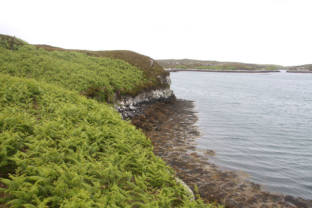
Gob Meanais is a prominent coastal feature located in Inverness-shire, Scotland. It is classified as a headland or a point, extending out into the North Sea. The name "Gob Meanais" is of Gaelic origin and translates to "middle point," reflecting its geographical position between other nearby headlands.
The headland is characterized by its rugged and dramatic cliffs, which rise steeply from the sea, creating a striking landscape. The cliffs are composed of sedimentary rocks, primarily sandstone and shale, which have eroded over time due to the relentless force of the waves. This erosion has resulted in the formation of caves and arches along the coastline, adding to the area's natural beauty.
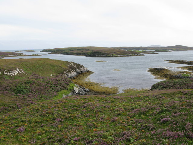
Gob Meanais offers breathtaking panoramic views of the surrounding seascape, with the vast expanse of the North Sea stretching out to the horizon. The headland is also a popular spot for birdwatching enthusiasts, as it serves as a vital habitat for a variety of seabird species, including gulls, puffins, and cormorants.
Access to Gob Meanais is relatively easy, with a footpath leading visitors along the clifftops, allowing them to explore the area and enjoy its natural wonders. The headland is also a popular spot for outdoor activities such as hiking and photography, attracting both locals and tourists alike.
Overall, Gob Meanais in Inverness-shire is a captivating coastal feature known for its dramatic cliffs, stunning views, and diverse wildlife. It offers visitors a chance to immerse themselves in the raw beauty of Scotland's coastal landscape.
If you have any feedback on the listing, please let us know in the comments section below.
Gob Meanais Images
Images are sourced within 2km of 57.446491/-7.2179782 or Grid Reference NF8751. Thanks to Geograph Open Source API. All images are credited.
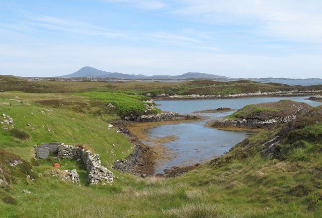
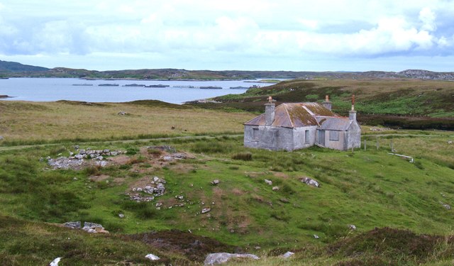
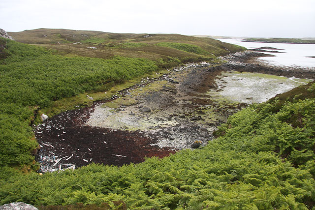
![On the shores of Loch Uiseabhagh Little visited [except by sheep] stretch of coastline in a remote corner of Benbecula.](https://s1.geograph.org.uk/geophotos/03/06/16/3061625_01f513f0.jpg)
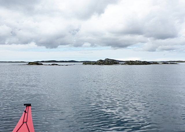
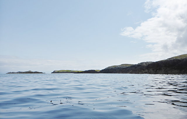
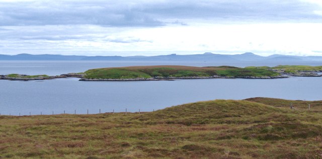
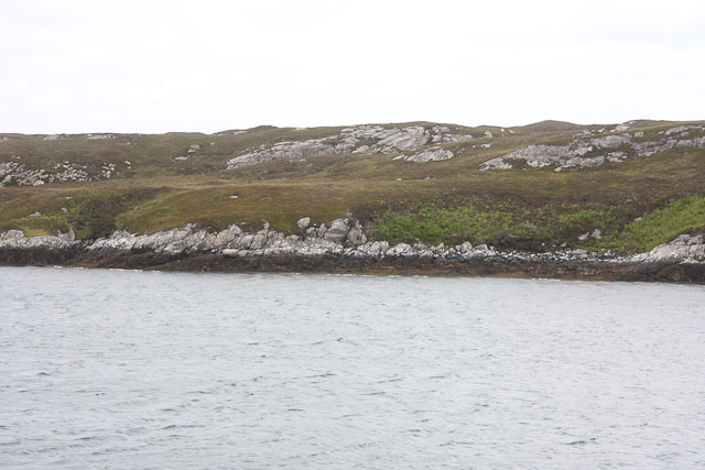
![Offshore skerry near Uiseabhagh The view offshore from a remote stretch of the Benbecula coastline. The skerry is unnamed on the map, whilst the coastline of Skye is visible in the distance [right].](https://s1.geograph.org.uk/geophotos/03/06/16/3061637_f08c3474.jpg)
Gob Meanais is located at Grid Ref: NF8751 (Lat: 57.446491, Lng: -7.2179782)
Unitary Authority: Na h-Eileanan an Iar
Police Authority: Highlands and Islands
What 3 Words
///club.disengage.coconuts. Near Balivanich, Na h-Eileanan Siar
Nearby Locations
Related Wikis

Eileanan Chearabhaigh
Eileanan Chearabhaigh is a collection of small uninhabited tidal islands off the south east coast of Benbecula in the Outer Hebrides of Scotland. The English...

Flodaigh
Flodaigh is a tidal island lying to the north of Benbecula and south of Grimsay in the Outer Hebrides, Scotland. It is connected to Benbecula by a causeway...

Ronay
Ronay (Scottish Gaelic: Rònaigh) is an island in the Outer Hebrides of Scotland, which lies a short distance off the east coast of Grimsay. == Geography... ==

Wiay, Outer Hebrides
Wiay (Scottish Gaelic: Bhuia or Fuidheigh) is an uninhabited island in the Outer Hebrides. It lies south-east of Benbecula and measures approximately...
Have you been to Gob Meanais?
Leave your review of Gob Meanais below (or comments, questions and feedback).