Eilean nan Each
Island in Inverness-shire
Scotland
Eilean nan Each
Eilean nan Each, also known as Horse Island, is a small uninhabited island located in the Moray Firth, off the coast of Inverness-shire, in the Scottish Highlands. The island is approximately 0.6 hectares in size and is situated about 1.5 kilometers east of the town of Avoch.
The island gets its name from the Gaelic language, where "Eilean nan Each" translates to "Island of the Horses." It is believed that the island was once used as a grazing ground for horses in the area. Today, however, the island is mainly frequented by seabirds, seals, and occasionally visited by kayakers and wildlife enthusiasts.
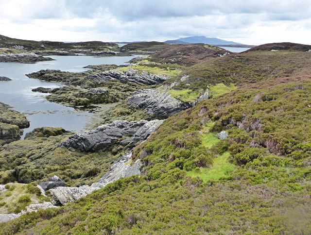
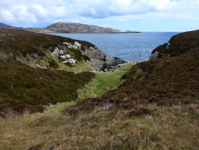
Eilean nan Each is characterized by its rugged and rocky terrain, with no significant vegetation apart from some grasses and mosses. It is surrounded by shallow waters, making it accessible during low tide, but completely cut off during high tide. The island offers stunning panoramic views of the surrounding coastline and is often regarded as a peaceful and picturesque spot.
Due to its small size and lack of facilities, the island does not support any human habitation. However, it is occasionally used for scientific research or as a temporary camping spot for adventurous visitors. Its remote location and tranquil atmosphere make it a popular destination for those seeking solitude and natural beauty.
In summary, Eilean nan Each is a small uninhabited island off the coast of Inverness-shire, Scotland. It is known for its rocky terrain, lack of vegetation, and occasional visits by wildlife enthusiasts. Despite its small size, the island offers stunning views and a peaceful escape from the hustle and bustle of nearby towns.
If you have any feedback on the listing, please let us know in the comments section below.
Eilean nan Each Images
Images are sourced within 2km of 57.448384/-7.2133414 or Grid Reference NF8751. Thanks to Geograph Open Source API. All images are credited.
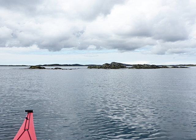
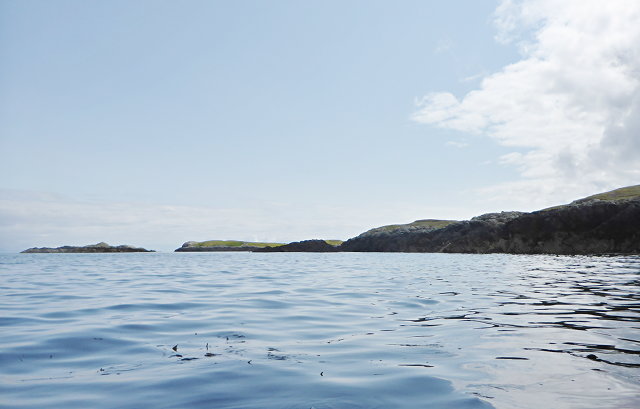
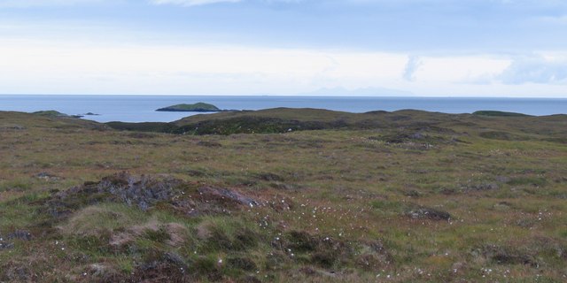
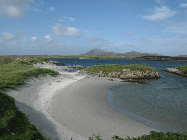
![Offshore skerry near Uiseabhagh The view offshore from a remote stretch of the Benbecula coastline. The skerry is unnamed on the map, whilst the coastline of Skye is visible in the distance [right].](https://s1.geograph.org.uk/geophotos/03/06/16/3061637_f08c3474.jpg)
Eilean nan Each is located at Grid Ref: NF8751 (Lat: 57.448384, Lng: -7.2133414)
Unitary Authority: Na h-Eileanan an Iar
Police Authority: Highlands and Islands
What 3 Words
///limelight.panoramic.riverboat. Near Balivanich, Na h-Eileanan Siar
Nearby Locations
Related Wikis

Eileanan Chearabhaigh
Eileanan Chearabhaigh is a collection of small uninhabited tidal islands off the south east coast of Benbecula in the Outer Hebrides of Scotland. The English...

Ronay
Ronay (Scottish Gaelic: Rònaigh) is an island in the Outer Hebrides of Scotland, which lies a short distance off the east coast of Grimsay. == Geography... ==

Flodaigh
Flodaigh is a tidal island lying to the north of Benbecula and south of Grimsay in the Outer Hebrides, Scotland. It is connected to Benbecula by a causeway...

Grimsay
Grimsay (Scottish Gaelic: Griomasaigh) is a tidal island in the Outer Hebrides of Scotland. == Geography == Grimsay is the largest of the low-lying stepping...

Wiay, Outer Hebrides
Wiay (Scottish Gaelic: Bhuia or Fuidheigh) is an uninhabited island in the Outer Hebrides. It lies south-east of Benbecula and measures approximately...

Grimsay (South East Benbecula)
Grimsay, south east of Benbecula is a tidal island of the Outer Hebrides. It is connected to Benbecula by a causeway which carries the B891. In the 2001...

Uist
Uist is a group of six islands that are part of the Outer Hebridean Archipelago, which is part of the Outer Hebrides of Scotland. North Uist and South...

Benbecula
Benbecula ( ; Scottish Gaelic: Beinn nam Fadhla or Beinn na Faoghla) is an island of the Outer Hebrides in the Atlantic Ocean off the west coast of Scotland...
Have you been to Eilean nan Each?
Leave your review of Eilean nan Each below (or comments, questions and feedback).