An Dubh-sgeir a Deas

Coastal Feature, Headland, Point in Inverness-shire

Scotland

An Dubh-sgeir a Deas

Loch nan Carnan Landfall Buoy This buoy marks the turning point for traffic in the Minch wishing to proceed to the marked channel towards Loch nan Carnan.
Loch nan Carnan Landfall Buoy Credit: Toby Speight

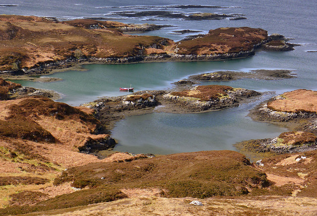
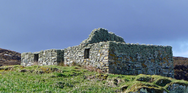
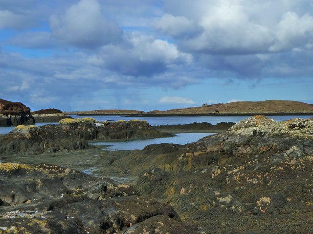
An Dubh-sgeir a Deas is a prominent headland located in Inverness-shire, Scotland. Situated on the picturesque west coast of the country, this coastal feature is renowned for its stunning views and rugged beauty. The name "An Dubh-sgeir a Deas" translates to "the southern black rock" in English, which aptly describes the dark, rocky terrain that characterizes the area.

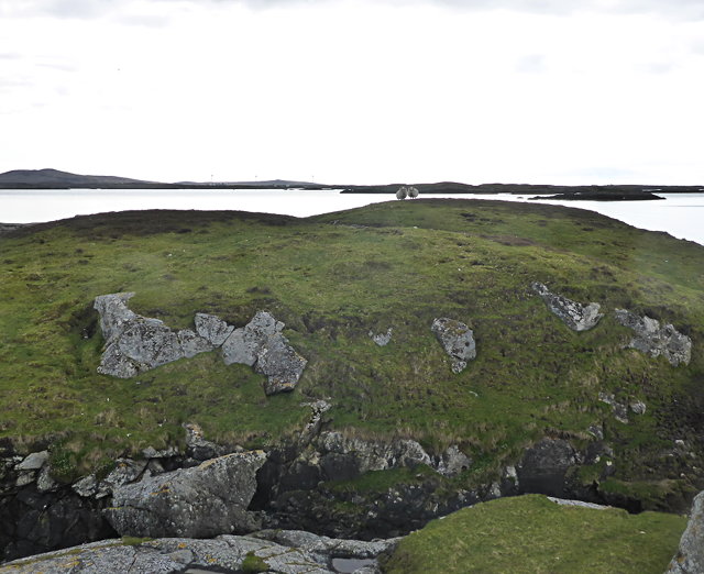
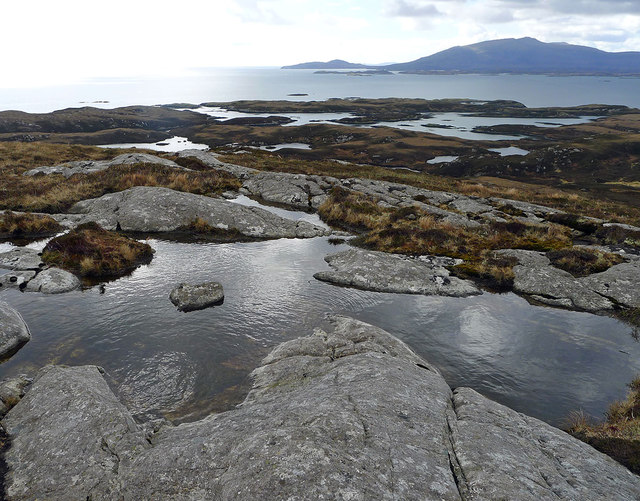
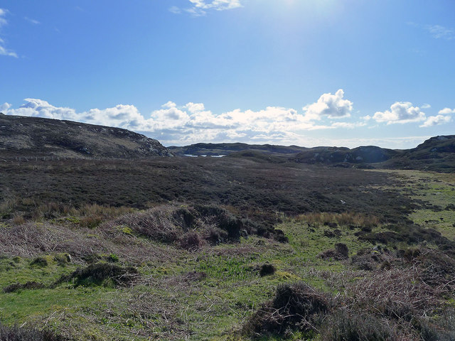
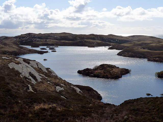
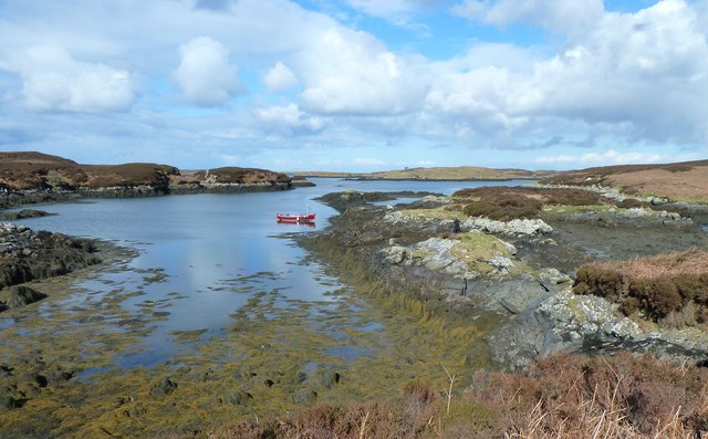
Jutting out into the Atlantic Ocean, An Dubh-sgeir a Deas serves as a natural boundary between the land and the sea. The headland is composed of ancient volcanic rock formations that have been shaped by centuries of erosion from the relentless waves and coastal weather. This geological history is evident in the distinctive jagged cliffs and striking rock formations that can be found along the coastline.

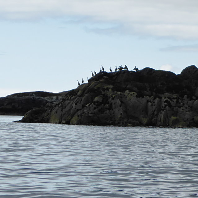
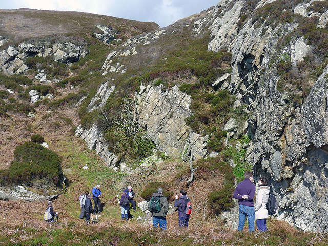
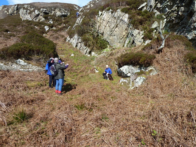
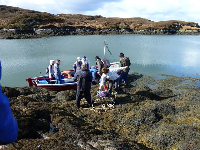
An Dubh-sgeir a Deas is a popular destination for nature enthusiasts, hikers, and photographers due to its dramatic landscapes and diverse wildlife. The headland offers breathtaking panoramic views of the surrounding ocean, with stunning sunsets that attract visitors from far and wide. It is also home to a variety of bird species, making it an ideal spot for birdwatching.

Access to An Dubh-sgeir a Deas is relatively easy, with a well-maintained footpath leading to the headland. However, caution is advised when exploring the area, as the cliffs can be steep and the terrain uneven. It is advisable to wear appropriate footwear and to be mindful of the weather conditions, as the coastal area can be subject to strong winds and changing tides.

Overall, An Dubh-sgeir a Deas is a captivating coastal feature that showcases the raw beauty of the Scottish west coast. Its rugged cliffs, stunning vistas, and diverse wildlife make it a must-visit destination for nature enthusiasts and those seeking a truly immersive outdoor experience.

If you have any feedback on the listing, please let us know in the comments section below.

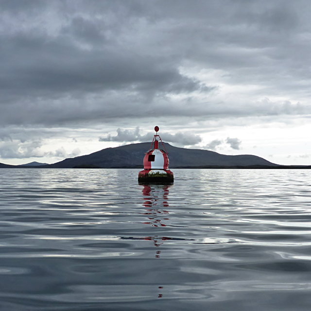
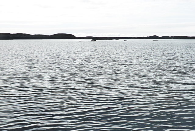
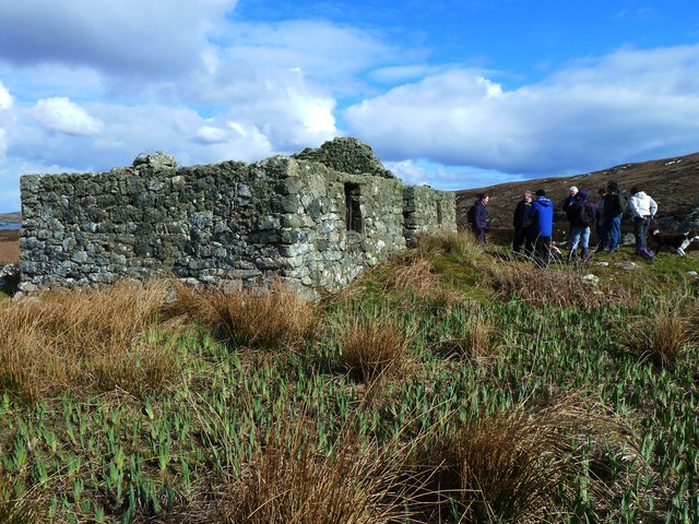
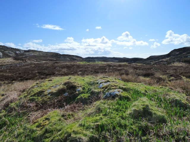
An Dubh-sgeir a Deas Images

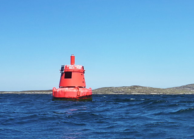
Images are sourced within 2km of 57.382432/-7.2088842 or Grid Reference NF8744. Thanks to Geograph Open Source API. All images are credited.

Loch nan Carnan Landfall Buoy This buoy marks the turning point for traffic in the Minch wishing to proceed to the marked channel towards Loch nan Carnan.
Loch nan Carnan Landfall Buoy
This buoy marks the turning point for traffic in the Minch wishing to proceed to the marked channel towards Loch nan Carnan.
Cormorants on An Dubh-sgeir a Deas
Sheep on Reagam Even islands as small as this each support a handful of sheep for summer grazing.
Sheep on Reagam
Even islands as small as this each support a handful of sheep for summer grazing.
Steiseigh and nearby rocks This is a wide, shallow sea, with a big difference in what's visible at high and low tide.  Here, we're somewhere between the two, and a few rocks are already showing.
Steiseigh and nearby rocks
This is a wide, shallow sea, with a big difference in what's visible at high and low tide. Here, we're somewhere between the two, and a few rocks are already showing.
Loch Carnan no. 1 port-side channel buoy This is the most seaward of the marker buoys for Loch Carnan (excepting <a href="https://www.geograph.org.uk/photo/4974591">NF8843 : Loch nan Carnan Landfall Buoy</a>).  There are 4 port buoys and 2 starboard, with Port no. 2 and Starboard no. 1 paired.
Loch Carnan no. 1 port-side channel buoy
This is the most seaward of the marker buoys for Loch Carnan (excepting NF8843 : Loch nan Carnan Landfall Buoy). There are 4 port buoys and 2 starboard, with Port no. 2 and Starboard no. 1 paired.
Bagh na Murla The sheltered bay that served the croft house on Wiay.
Bagh na Murla
The sheltered bay that served the croft house on Wiay.
By Bonnie Prince Charlie's Cave During the wandering of Bonnie Prince Charlie after the Battle of Culloden, he spent time in hiding on the island of Wiay.  On an Islands Book Trust trip to Wiay in company of an author writing a book about this topic, a visit was made to the cave where it is reputed Bonnie Prince Charlie hid.
By Bonnie Prince Charlie's Cave
During the wandering of Bonnie Prince Charlie after the Battle of Culloden, he spent time in hiding on the island of Wiay. On an Islands Book Trust trip to Wiay in company of an author writing a book about this topic, a visit was made to the cave where it is reputed Bonnie Prince Charlie hid.
Wet terrain by the summit of Beinn a Tuath Small lochans and lochs dominate the interior of Wiay.  Even the summit of Beinn a Tuath has its own small rock-fringed area of water.
Wet terrain by the summit of Beinn a Tuath
Small lochans and lochs dominate the interior of Wiay. Even the summit of Beinn a Tuath has its own small rock-fringed area of water.
Derelict croft house on Wiay The Islands Book Trust organized an evening talk and day boat trip to Wiay. Alasdair MacEachen explained that the condition imposed by Lady Gordon Cathcart on the tenant-to-be of Wiay was that the croft house must not cost more than £70 to build.
Derelict croft house on Wiay
The Islands Book Trust organized an evening talk and day boat trip to Wiay. Alasdair MacEachen explained that the condition imposed by Lady Gordon Cathcart on the tenant-to-be of Wiay was that the croft house must not cost more than £70 to build.
Flat terrain near the Wiay croft Possibly the flattest ground on the whole of Wiay - and dry underfoot!
Flat terrain near the Wiay croft
Possibly the flattest ground on the whole of Wiay - and dry underfoot!
Loch na Beiste The largest freshwater loch on Wiay.
Loch na Beiste
The largest freshwater loch on Wiay.
Bonnie Prince Charlie's Cave, Wiay The Islands Book Trust organised a boat trip to Wiay, off Benbecula.  Gregor and his dog Meg were following the footsteps of the Prince who spent a few nights on Wiay following Culloden.  The photo shows members of the trip photographing Gregor & Meg outside the cave.
Bonnie Prince Charlie's Cave, Wiay
The Islands Book Trust organised a boat trip to Wiay, off Benbecula. Gregor and his dog Meg were following the footsteps of the Prince who spent a few nights on Wiay following Culloden. The photo shows members of the trip photographing Gregor & Meg outside the cave.
Wiay, Bagh na Murla Seaweed on rocks at Wiay.
Wiay, Bagh na Murla
Seaweed on rocks at Wiay.
Wiay, Disembarking We landed on Wiay from a small boat and clambered over slippery, seaweed covered rocks, helped by our companions.
Wiay, Disembarking
We landed on Wiay from a small boat and clambered over slippery, seaweed covered rocks, helped by our companions.
Mooring at Wiay The boat safely moored at Wiay the Islands Book Trust party set off to explore some of the island.  The weather was very kind.
Mooring at Wiay
The boat safely moored at Wiay the Islands Book Trust party set off to explore some of the island. The weather was very kind.
Old Croft House, Wiay The old croft house was built early last century by the tenant of Wiay.
Old Croft House, Wiay
The old croft house was built early last century by the tenant of Wiay.
Ruined Croft House, Wiay The party from the Islands Book Trust discuss the ruins of the old croft house.
Ruined Croft House, Wiay
The party from the Islands Book Trust discuss the ruins of the old croft house.
View from the Croft House, Wiay The easterly view from the croft house.  A circular fank or similar can be seen in the middle distance.
View from the Croft House, Wiay
The easterly view from the croft house. A circular fank or similar can be seen in the middle distance.
Show me another place!

An Dubh-sgeir a Deas is located at Grid Ref: NF8744 (Lat: 57.382432, Lng: -7.2088842)

Unitary Authority: Na h-Eileanan an Iar

Police Authority: Highlands and Islands

What 3 Words

///succumbs.slurs.resort. Near Balivanich, Na h-Eileanan Siar

Nearby Locations

An Dubh-sgeir a Deas

Related Wikis

Wiay, Outer Hebrides

Wiay (Scottish Gaelic: Bhuia or Fuidheigh) is an uninhabited island in the Outer Hebrides. It lies south-east of Benbecula and measures approximately...

Eilean na Cille

Eilean na Cille, south east of Benbecula is an island of the Outer Hebrides connected to Grimsay (South) by a causeway which carries the B891. The road...

Eileanan Chearabhaigh

Eileanan Chearabhaigh is a collection of small uninhabited tidal islands off the south east coast of Benbecula in the Outer Hebrides of Scotland. The English...

Grimsay (South East Benbecula)

Grimsay, south east of Benbecula is a tidal island of the Outer Hebrides. It is connected to Benbecula by a causeway which carries the B891. In the 2001...

Have you been to An Dubh-sgeir a Deas?

Leave your review of An Dubh-sgeir a Deas below (or comments, questions and feedback).