Eilean nan Each Beaga
Island in Inverness-shire
Scotland
Eilean nan Each Beaga
Eilean nan Each Beaga, also known as the "Island of the Little Horses," is a small, uninhabited island located in Loch Maree, in Inverness-shire, Scotland. The island is part of the Loch Maree Special Area of Conservation, which is recognized for its outstanding natural beauty and biodiversity.
Measuring approximately 200 meters in length and 100 meters in width, Eilean nan Each Beaga is densely covered with lush vegetation, including trees and shrubs such as birch, rowan, and willow. Its terrain is hilly, with rocky outcrops and pebble beaches surrounding its shoreline.
The island's name, "Island of the Little Horses," originates from a legend that claims miniature horses once roamed the island. Although no evidence of horses has ever been found, the name has stuck and continues to intrigue visitors.
Due to its remote location, Eilean nan Each Beaga is a haven for wildlife. The island is home to a variety of bird species, including golden eagles, ospreys, and various waterfowl. It also provides a habitat for otters, pine martens, and red deer.
Access to the island is possible by boat, and visitors can explore its natural beauty, enjoying walks around its trails or simply taking in the serene surroundings. The island offers stunning views of the surrounding Loch Maree and the Torridon mountains in the distance.
Eilean nan Each Beaga is a place of tranquility and natural beauty, attracting nature enthusiasts and those seeking a peaceful retreat in the heart of the Scottish Highlands.
If you have any feedback on the listing, please let us know in the comments section below.
Eilean nan Each Beaga Images
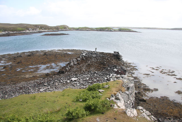
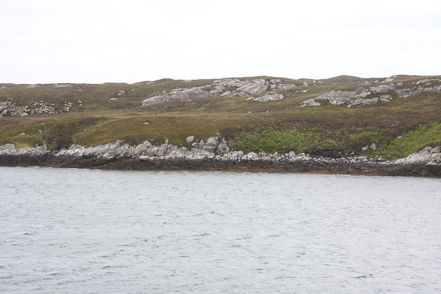
Images are sourced within 2km of 57.448165/-7.2192854 or Grid Reference NF8751. Thanks to Geograph Open Source API. All images are credited.
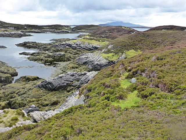
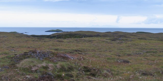
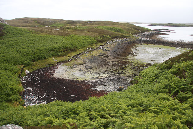
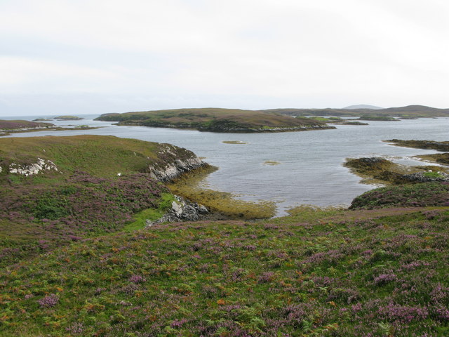
![On the shores of Loch Uiseabhagh Little visited [except by sheep] stretch of coastline in a remote corner of Benbecula.](https://s1.geograph.org.uk/geophotos/03/06/16/3061625_01f513f0.jpg)
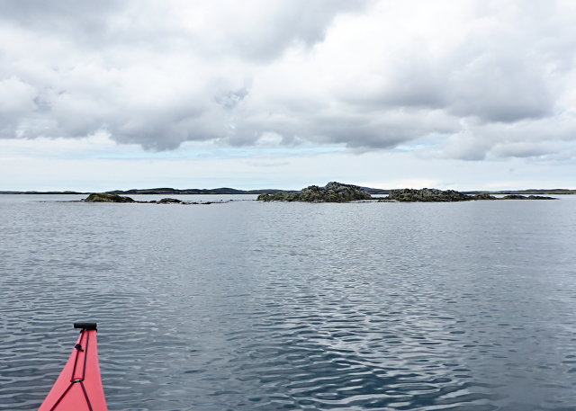
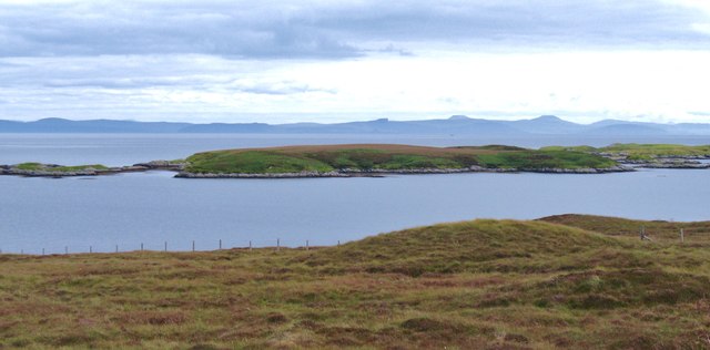
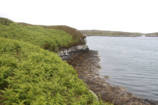
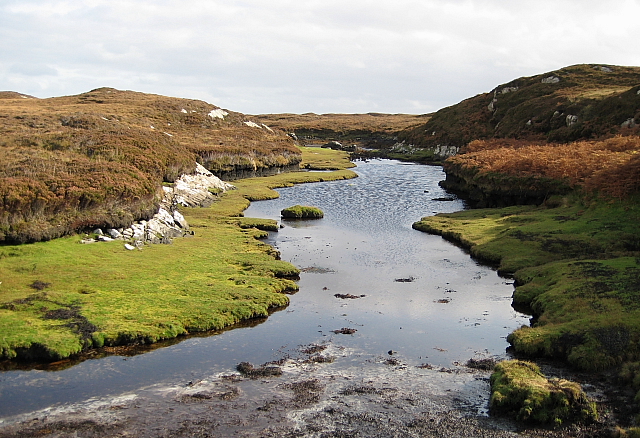
![Offshore skerry near Uiseabhagh The view offshore from a remote stretch of the Benbecula coastline. The skerry is unnamed on the map, whilst the coastline of Skye is visible in the distance [right].](https://s1.geograph.org.uk/geophotos/03/06/16/3061637_f08c3474.jpg)
Eilean nan Each Beaga is located at Grid Ref: NF8751 (Lat: 57.448165, Lng: -7.2192854)
Unitary Authority: Na h-Eileanan an Iar
Police Authority: Highlands and Islands
What 3 Words
///scarecrow.drum.fuses. Near Balivanich, Na h-Eileanan Siar
Nearby Locations
Related Wikis

Eileanan Chearabhaigh
Eileanan Chearabhaigh is a collection of small uninhabited tidal islands off the south east coast of Benbecula in the Outer Hebrides of Scotland. The English...

Flodaigh
Flodaigh is a tidal island lying to the north of Benbecula and south of Grimsay in the Outer Hebrides, Scotland. It is connected to Benbecula by a causeway...

Ronay
Ronay (Scottish Gaelic: Rònaigh) is an island in the Outer Hebrides of Scotland, which lies a short distance off the east coast of Grimsay. == Geography... ==

Grimsay
Grimsay (Scottish Gaelic: Griomasaigh) is a tidal island in the Outer Hebrides of Scotland. == Geography == Grimsay is the largest of the low-lying stepping...
Have you been to Eilean nan Each Beaga?
Leave your review of Eilean nan Each Beaga below (or comments, questions and feedback).