Àird Mhurain

Coastal Feature, Headland, Point in Inverness-shire

Scotland

Àird Mhurain

Cemetery at Cuidhir The cemetery contains several Commonwealth War Graves of naval origins. The stories of some of the casualties can be found in the descriptions of the following images:
<a href="https://www.geograph.org.uk/photo/4513717">NF6703 : Four war graves in Cuidhir Cemetery</a>
<a href="https://www.geograph.org.uk/photo/4514731">NF6703 : Three war graves in Cuidhir Cemetery</a>
<a href="https://www.geograph.org.uk/photo/4676860">NF6703 : Memorial to 3 crew members of SS Idomeneus</a>
<a href="https://www.geograph.org.uk/photo/4676877">NF6703 : Commonwealth war grave of John Mackinnon</a>
Cemetery at Cuidhir Credit: John Lucas

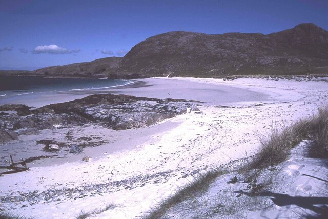
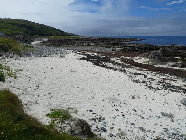
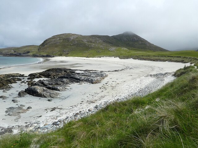
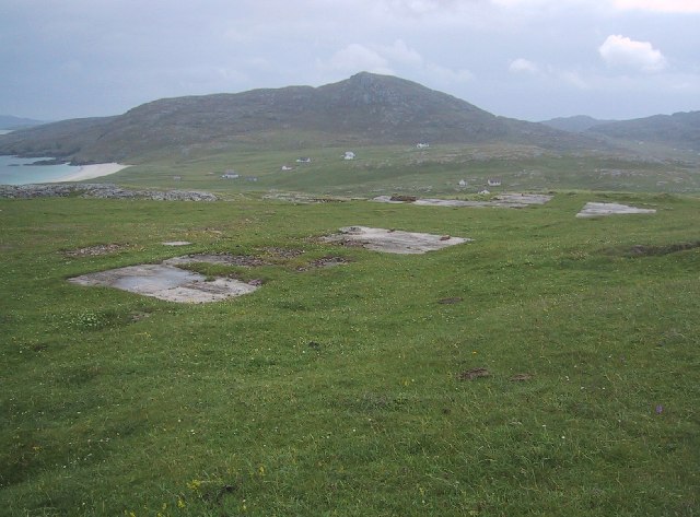
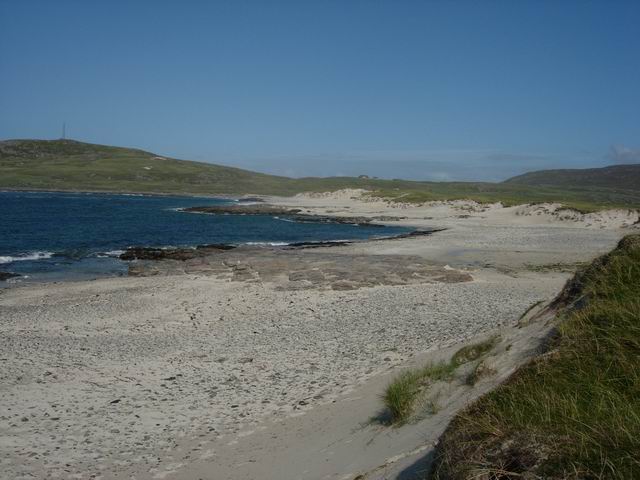
Àird Mhurain, also known as Aird Point, is a prominent coastal feature located in Inverness-shire, Scotland. Situated on the western coast of the Scottish Highlands, this headland extends into the Atlantic Ocean, offering breathtaking views and a rugged, natural beauty.

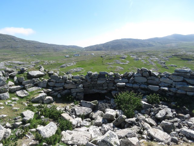
The headland is characterized by its rocky cliffs, which rise steeply from the sea, creating a dramatic and imposing landscape. These cliffs are composed of ancient sandstone and provide nesting sites for various bird species, including guillemots, razorbills, and fulmars. The area is also rich in marine life, with seals often seen basking on the rocks below.

At the tip of Àird Mhurain, there is a lighthouse that has been guiding ships along the coast since its construction in 1872. This historic structure stands tall against the elements, adding charm to the already stunning scenery. Visitors can explore the lighthouse and learn about its history and importance in maritime navigation.

The headland is a popular destination for hikers and nature enthusiasts, with several walking trails offering stunning views of the surrounding coastline. The rugged terrain and crashing waves create an exhilarating atmosphere, making it an ideal spot for those seeking adventure and natural beauty.

Àird Mhurain is easily accessible by road, with a car park located nearby for visitors. It is a place where visitors can immerse themselves in the wild and untamed beauty of the Scottish Highlands, enjoying the sights and sounds of the Atlantic Ocean crashing against the cliffs while taking in the breathtaking views of the surrounding landscape.

If you have any feedback on the listing, please let us know in the comments section below.

Àird Mhurain Images

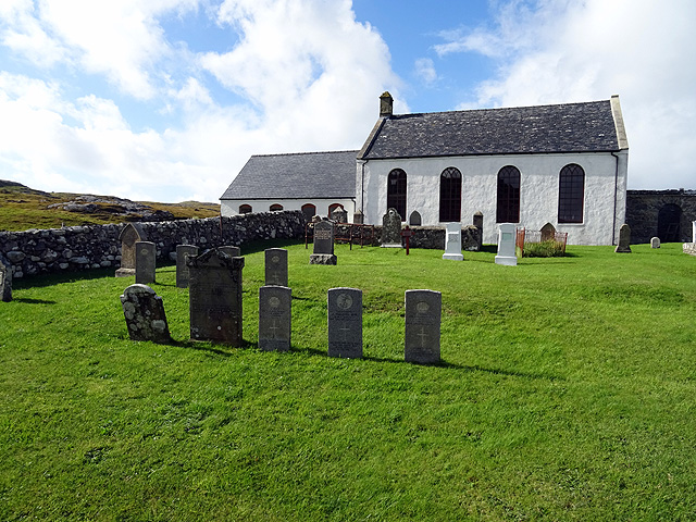
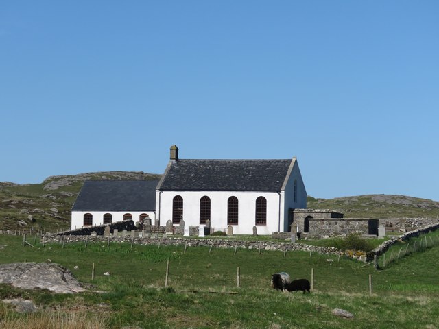
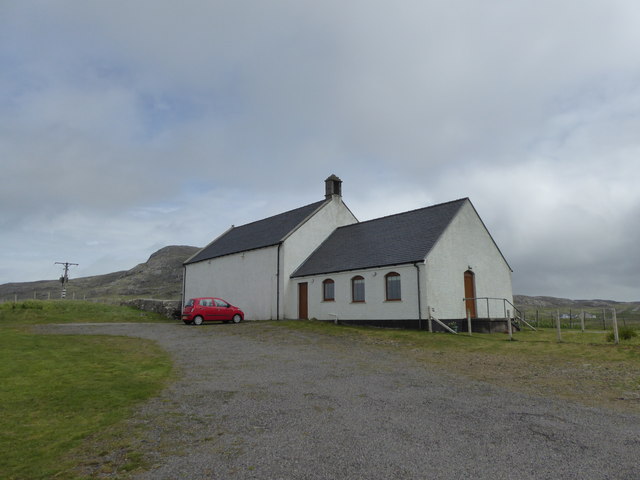
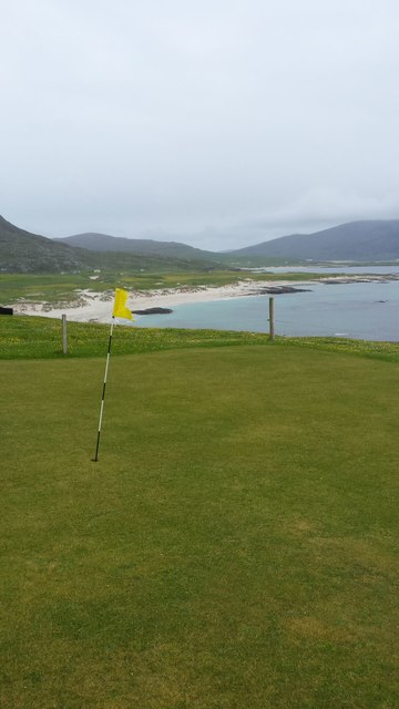
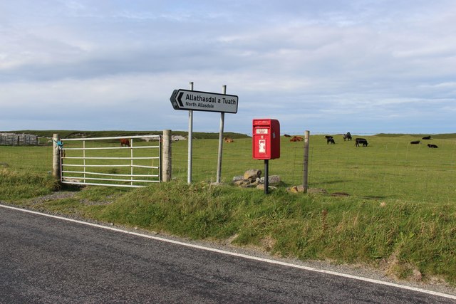
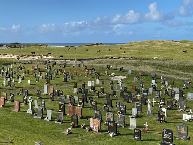
Images are sourced within 2km of 57.013653/-7.5068509 or Grid Reference NF6504. Thanks to Geograph Open Source API. All images are credited.

Cemetery at Cuidhir The cemetery contains several Commonwealth War Graves of naval origins. The stories of some of the casualties can be found in the descriptions of the following images:
<a href="https://www.geograph.org.uk/photo/4513717">NF6703 : Four war graves in Cuidhir Cemetery</a>
<a href="https://www.geograph.org.uk/photo/4514731">NF6703 : Three war graves in Cuidhir Cemetery</a>
<a href="https://www.geograph.org.uk/photo/4676860">NF6703 : Memorial to 3 crew members of SS Idomeneus</a>
<a href="https://www.geograph.org.uk/photo/4676877">NF6703 : Commonwealth war grave of John Mackinnon</a>
Cemetery at Cuidhir
The cemetery contains several Commonwealth War Graves of naval origins. The stories of some of the casualties can be found in the descriptions of the following images: NF6703 : Four war graves in Cuidhir Cemetery NF6703 : Three war graves in Cuidhir Cemetery NF6703 : Memorial to 3 crew members of SS Idomeneus NF6703 : Commonwealth war grave of John Mackinnon
Memorial to 3 crew members of SS Idomeneus Chan Sung, Chung Cheong and Leong Kow were members of the crew of SS Idomeneus which was torpedoed on 15th September 1917 en-route from New York to Liverpool. Although the ship was not sunk, the explosion caused the death of 4 crew members, 3 of whom are commemorated here. The ship was beached on Vatersay, eventually repaired and renamed, it continued sailing until 1933.
Memorial to 3 crew members of SS Idomeneus
Chan Sung, Chung Cheong and Leong Kow were members of the crew of SS Idomeneus which was torpedoed on 15th September 1917 en-route from New York to Liverpool. Although the ship was not sunk, the explosion caused the death of 4 crew members, 3 of whom are commemorated here. The ship was beached on Vatersay, eventually repaired and renamed, it continued sailing until 1933.
Commonwealth war grave of John Mackinnon John Mackinnon was a member of the Royal Naval Reserve and a 2nd hand on HMS Balmoral Castle which was a hired trawler during WWI. He was a native of Barra and hailed from nearby Allasdale.

John died of illness on Christmas Day 1918 at the age of 22.
Commonwealth war grave of John Mackinnon
John Mackinnon was a member of the Royal Naval Reserve and a 2nd hand on HMS Balmoral Castle which was a hired trawler during WWI. He was a native of Barra and hailed from nearby Allasdale. John died of illness on Christmas Day 1918 at the age of 22.
Cuidhir Church, Barra
Dun Chuidhir, Barra Situated on the west side of the island, this dun is quite well preserved.
Dun Chuidhir, Barra
Situated on the west side of the island, this dun is quite well preserved.
Cemetery at Allasdale
Fank at Allathasdal
Fank at Allathasdal
Manse at Cuidhir
Manse at Cuidhir
Church at Cuidhir
Church at Cuidhir
Barra golf course The golf course has all of its greens protected by fencing from the roaming cattle!
Barra golf course
The golf course has all of its greens protected by fencing from the roaming cattle!
Cattle on machair at Allathasdal
Coastal scenery on Aird Ghrein, Barra
Burial ground at Allathasdal Just behind the dunes on Barra's Atlantic coast.
Burial ground at Allathasdal
Just behind the dunes on Barra's Atlantic coast.
Beach at Cleat, Barra
Barra - small beach north of Cleat & Aird Mhurain There is a much larger, sandier beach immediately to the east of this little rocky cove north of the village of Cleat (Cleit).
The promontory seen ahead is Aird Mhurain.
Barra - small beach north of Cleat & Aird Mhurain
There is a much larger, sandier beach immediately to the east of this little rocky cove north of the village of Cleat (Cleit). The promontory seen ahead is Aird Mhurain.
Barra - Sandy beach northeast of Cleat (Cleit) This extensive sandy beach is to be found to the NE of the little location of Cleat in northern Barra. Quite unusually for Barra, the beach faces northwards.
The hill in the background is the 206m (676') Beinn Chliaid.
Barra - Sandy beach northeast of Cleat (Cleit)
This extensive sandy beach is to be found to the NE of the little location of Cleat in northern Barra. Quite unusually for Barra, the beach faces northwards. The hill in the background is the 206m (676') Beinn Chliaid.
Greian Head Site of WWII Chain Home Low radar station
Greian Head
Site of WWII Chain Home Low radar station
Beach at Allasdale Dune backed beach, this one is a sand and pebble mix.
Beach at Allasdale
Dune backed beach, this one is a sand and pebble mix.
Show me another place!

Àird Mhurain is located at Grid Ref: NF6504 (Lat: 57.013653, Lng: -7.5068509)

Unitary Authority: Na h-Eileanan an Iar

Police Authority: Highlands and Islands

What 3 Words

///recoup.salaried.jokers. Near CastleBay, Na h-Eileanan Siar

Related Wikis

Allasdale

Allasdale (Scottish Gaelic: Athalasdal, pronounced [ˈa.əl̪ˠəs̪t̪əl̪ˠ]) is a settlement on Barra in the Outer Hebrides, Scotland. The settlement is also...

Borve, Barra

Borve (Scottish Gaelic: Borgh) is a village on the west coast of the island of Barra in the Outer Hebrides, Scotland. Borve is within the parish of Barra...

Isle of Barra distillery

Isle of Barra distillery at Borve, Barra, Scotland is a planned future whisky distillery on Barra. The Barra Distillery company was founded in 2003 but...
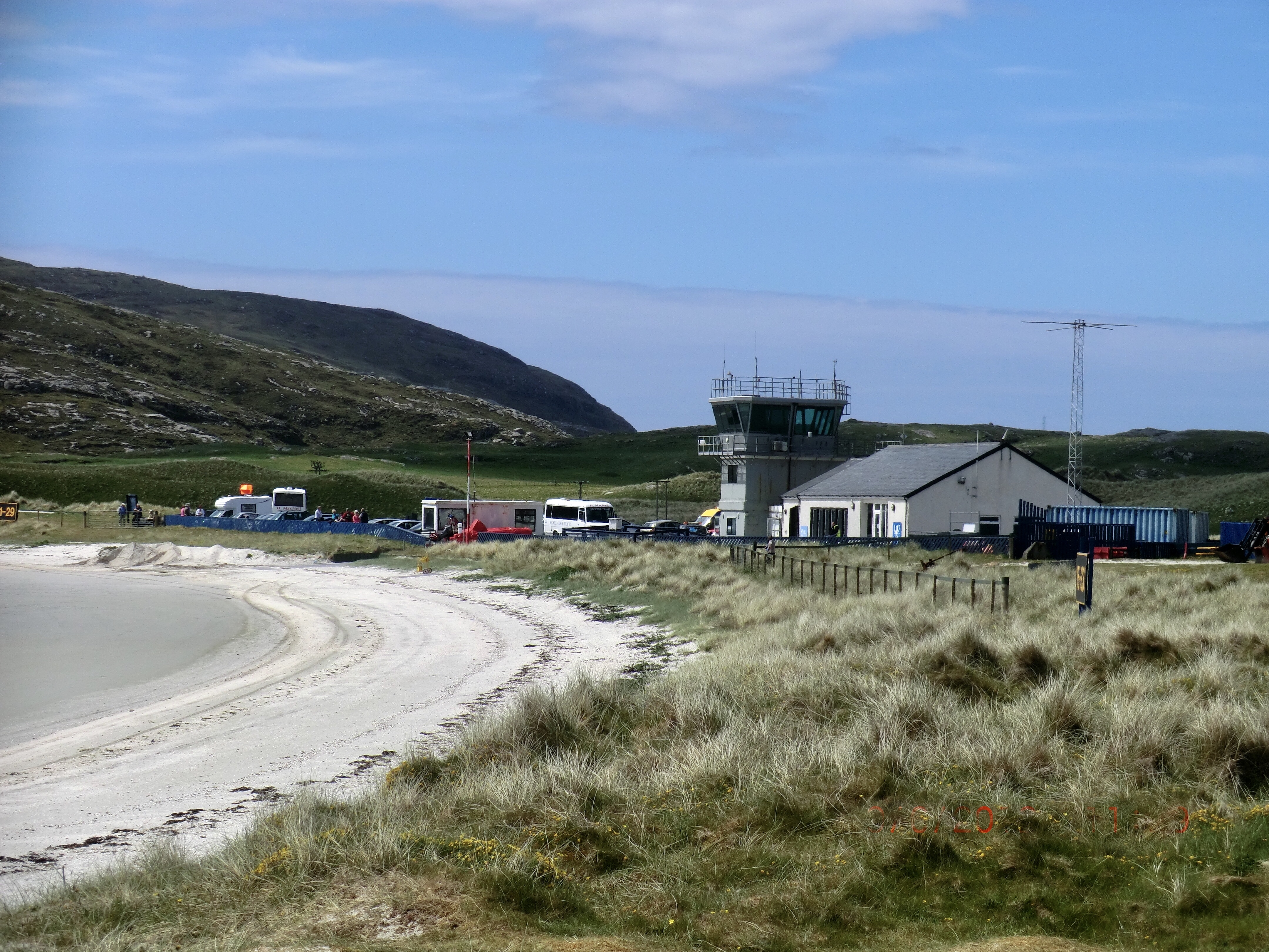
Barra Airport

Barra Airport (Scottish Gaelic: Port-adhair Bharraigh) (IATA: BRR, ICAO: EGPR) (also known as Barra Eoligarry Airport) is a short-runway airport (or STOLport...

Nearby Amenities

Located within 500m of 57.013653,-7.5068509
Man Made: tower
Tower Type: communication
Lat/Long: 57.0108841/-7.5071854
The data included in this document is from www.openstreetmap.org. The data is made available under ODbL.

Have you been to Àird Mhurain?

Leave your review of Àird Mhurain below (or comments, questions and feedback).