Àird Ghrèin

Coastal Feature, Headland, Point in Inverness-shire

Scotland

Àird Ghrèin

Cemetery at Cuidhir The cemetery contains several Commonwealth War Graves of naval origins. The stories of some of the casualties can be found in the descriptions of the following images:
<a href="https://www.geograph.org.uk/photo/4513717">NF6703 : Four war graves in Cuidhir Cemetery</a>
<a href="https://www.geograph.org.uk/photo/4514731">NF6703 : Three war graves in Cuidhir Cemetery</a>
<a href="https://www.geograph.org.uk/photo/4676860">NF6703 : Memorial to 3 crew members of SS Idomeneus</a>
<a href="https://www.geograph.org.uk/photo/4676877">NF6703 : Commonwealth war grave of John Mackinnon</a>
Cemetery at Cuidhir Credit: John Lucas

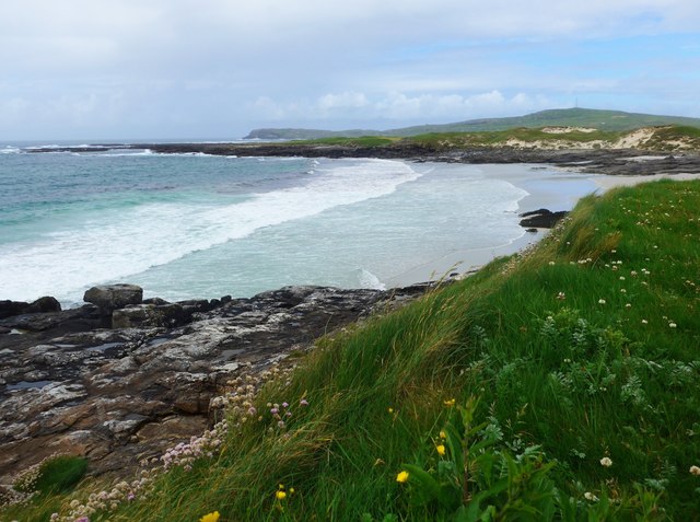
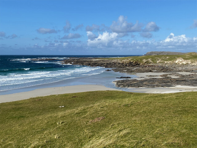
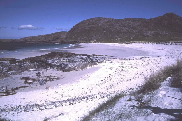
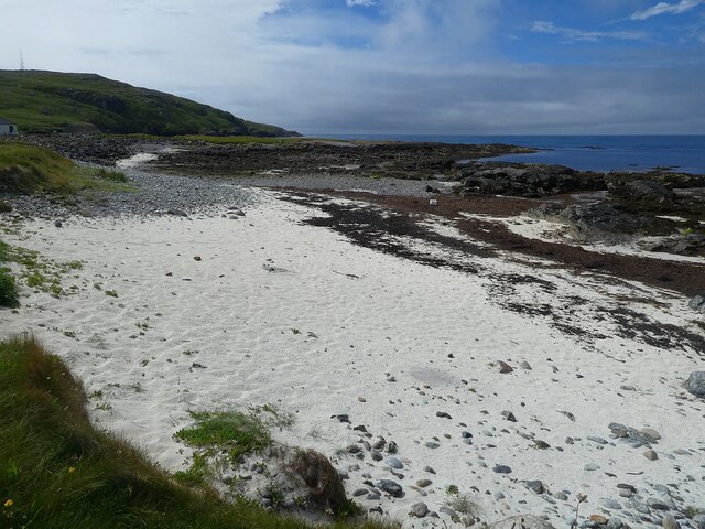
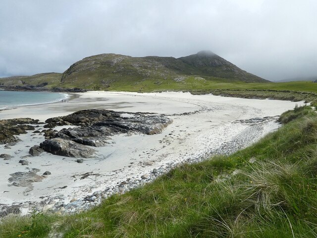
Àird Ghrèin is a prominent coastal feature located in Inverness-shire, Scotland. Situated on the western coast of the Scottish Highlands, it is a picturesque headland that juts out into the Atlantic Ocean. The name Àird Ghrèin translates to "sunny point" in Scottish Gaelic, reflecting the area's reputation for receiving ample sunlight.

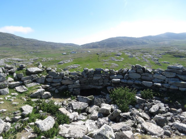
The headland is characterized by its rugged cliffs, which rise dramatically from the sea to heights of up to 100 meters. These cliffs offer breathtaking views of the surrounding landscape, including the nearby islands of Skye and the Outer Hebrides. The headland itself is primarily composed of ancient metamorphic rocks, adding to its geological significance.

The area surrounding Àird Ghrèin is abundant in wildlife, making it a popular spot for birdwatching. Visitors may catch a glimpse of various seabirds, including gannets, puffins, and guillemots, as well as larger marine species such as seals and dolphins.

Access to Àird Ghrèin is relatively straightforward, with a well-maintained footpath leading from a nearby car park. The headland is also part of a larger coastal walking route, offering opportunities for longer hikes along the picturesque coastline.

Overall, Àird Ghrèin is a captivating coastal feature that showcases the natural beauty and diversity of the Scottish Highlands. Its dramatic cliffs, stunning views, and abundant wildlife make it a must-visit destination for nature enthusiasts and those seeking a tranquil escape in the heart of Scotland.

If you have any feedback on the listing, please let us know in the comments section below.
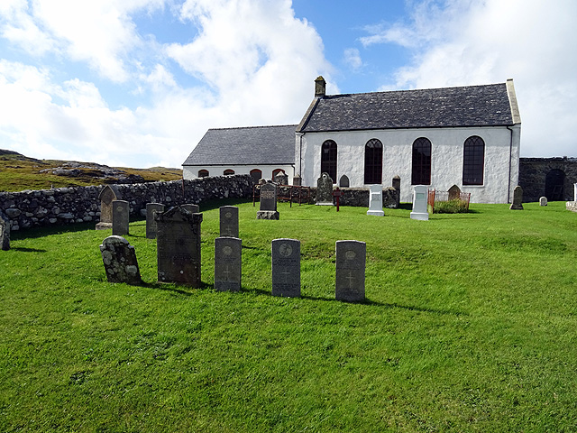
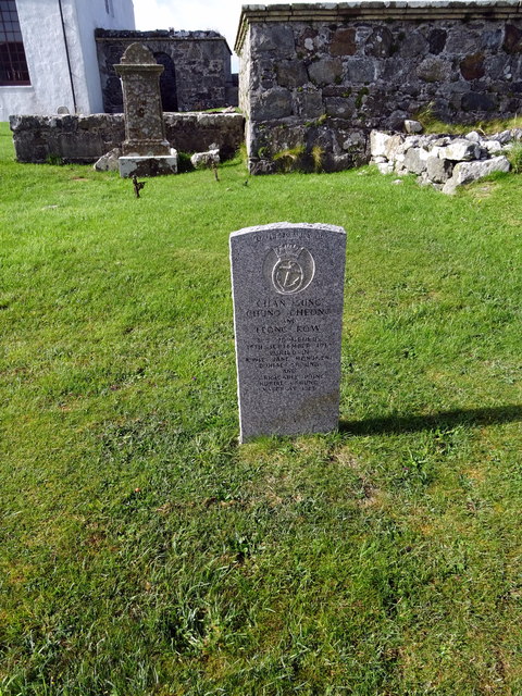
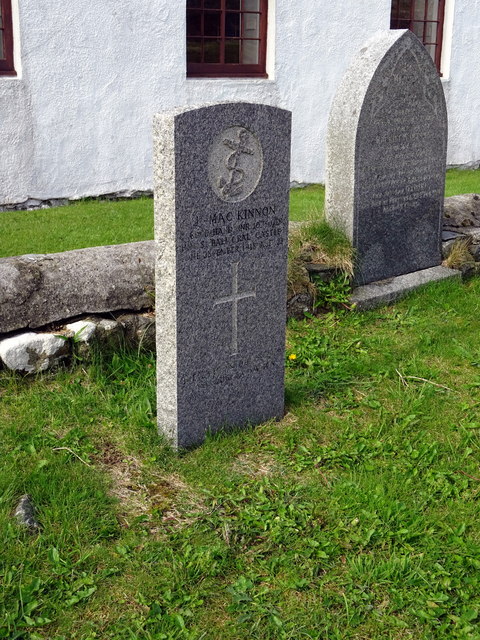
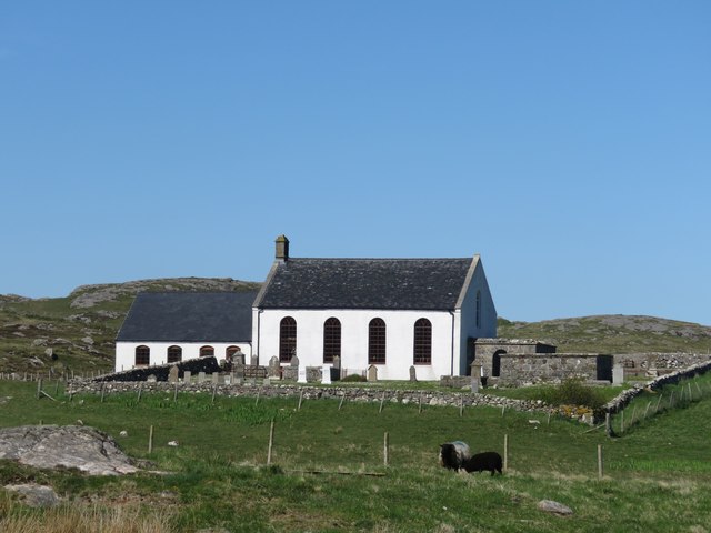
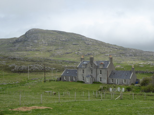
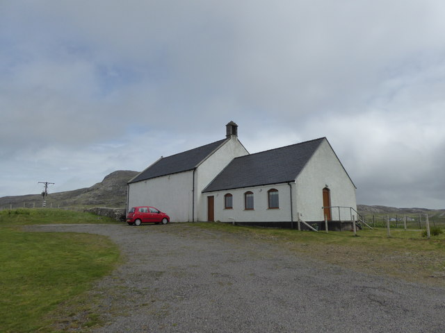
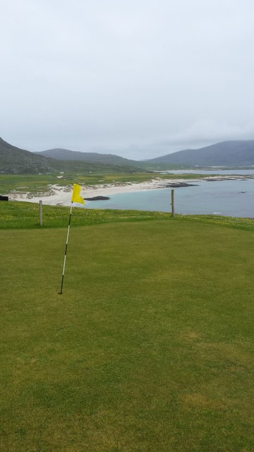
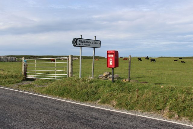
Àird Ghrèin Images

Images are sourced within 2km of 57.011082/-7.5077896 or Grid Reference NF6504. Thanks to Geograph Open Source API. All images are credited.

Cemetery at Cuidhir The cemetery contains several Commonwealth War Graves of naval origins. The stories of some of the casualties can be found in the descriptions of the following images:
<a href="https://www.geograph.org.uk/photo/4513717">NF6703 : Four war graves in Cuidhir Cemetery</a>
<a href="https://www.geograph.org.uk/photo/4514731">NF6703 : Three war graves in Cuidhir Cemetery</a>
<a href="https://www.geograph.org.uk/photo/4676860">NF6703 : Memorial to 3 crew members of SS Idomeneus</a>
<a href="https://www.geograph.org.uk/photo/4676877">NF6703 : Commonwealth war grave of John Mackinnon</a>
Cemetery at Cuidhir
The cemetery contains several Commonwealth War Graves of naval origins. The stories of some of the casualties can be found in the descriptions of the following images: NF6703 : Four war graves in Cuidhir Cemetery NF6703 : Three war graves in Cuidhir Cemetery NF6703 : Memorial to 3 crew members of SS Idomeneus NF6703 : Commonwealth war grave of John Mackinnon
Memorial to 3 crew members of SS Idomeneus Chan Sung, Chung Cheong and Leong Kow were members of the crew of SS Idomeneus which was torpedoed on 15th September 1917 en-route from New York to Liverpool. Although the ship was not sunk, the explosion caused the death of 4 crew members, 3 of whom are commemorated here. The ship was beached on Vatersay, eventually repaired and renamed, it continued sailing until 1933.
Memorial to 3 crew members of SS Idomeneus
Chan Sung, Chung Cheong and Leong Kow were members of the crew of SS Idomeneus which was torpedoed on 15th September 1917 en-route from New York to Liverpool. Although the ship was not sunk, the explosion caused the death of 4 crew members, 3 of whom are commemorated here. The ship was beached on Vatersay, eventually repaired and renamed, it continued sailing until 1933.
Commonwealth war grave of John Mackinnon John Mackinnon was a member of the Royal Naval Reserve and a 2nd hand on HMS Balmoral Castle which was a hired trawler during WWI. He was a native of Barra and hailed from nearby Allasdale.

John died of illness on Christmas Day 1918 at the age of 22.
Commonwealth war grave of John Mackinnon
John Mackinnon was a member of the Royal Naval Reserve and a 2nd hand on HMS Balmoral Castle which was a hired trawler during WWI. He was a native of Barra and hailed from nearby Allasdale. John died of illness on Christmas Day 1918 at the age of 22.
Cuidhir Church, Barra
Dun Chuidhir, Barra Situated on the west side of the island, this dun is quite well preserved.
Dun Chuidhir, Barra
Situated on the west side of the island, this dun is quite well preserved.
Cemetery at Allasdale
Traigh Hamara
Traigh Hamara
Fank at Allathasdal
Fank at Allathasdal
Manse at Cuidhir
Manse at Cuidhir
Church at Cuidhir
Church at Cuidhir
Barra golf course The golf course has all of its greens protected by fencing from the roaming cattle!
Barra golf course
The golf course has all of its greens protected by fencing from the roaming cattle!
Cattle on machair at Allathasdal
Coastal scenery on Aird Ghrein, Barra
Burial ground at Allathasdal Just behind the dunes on Barra's Atlantic coast.
Burial ground at Allathasdal
Just behind the dunes on Barra's Atlantic coast.
Tràigh Hamara Beach on the Atlantic coast of Barra.
Tràigh Hamara
Beach on the Atlantic coast of Barra.
Beach at Cleat, Barra
Barra - small beach north of Cleat & Aird Mhurain There is a much larger, sandier beach immediately to the east of this little rocky cove north of the village of Cleat (Cleit).
The promontory seen ahead is Aird Mhurain.
Barra - small beach north of Cleat & Aird Mhurain
There is a much larger, sandier beach immediately to the east of this little rocky cove north of the village of Cleat (Cleit). The promontory seen ahead is Aird Mhurain.
Barra - Sandy beach northeast of Cleat (Cleit) This extensive sandy beach is to be found to the NE of the little location of Cleat in northern Barra. Quite unusually for Barra, the beach faces northwards.
The hill in the background is the 206m (676') Beinn Chliaid.
Barra - Sandy beach northeast of Cleat (Cleit)
This extensive sandy beach is to be found to the NE of the little location of Cleat in northern Barra. Quite unusually for Barra, the beach faces northwards. The hill in the background is the 206m (676') Beinn Chliaid.
Show me another place!

Àird Ghrèin is located at Grid Ref: NF6504 (Lat: 57.011082, Lng: -7.5077896)

Unitary Authority: Na h-Eileanan an Iar

Police Authority: Highlands and Islands

What 3 Words

///beefed.scored.shock. Near CastleBay, Na h-Eileanan Siar

Related Wikis

Allasdale

Allasdale (Scottish Gaelic: Athalasdal, pronounced [ˈa.əl̪ˠəs̪t̪əl̪ˠ]) is a settlement on Barra in the Outer Hebrides, Scotland. The settlement is also...

Borve, Barra

Borve (Scottish Gaelic: Borgh) is a village on the west coast of the island of Barra in the Outer Hebrides, Scotland. Borve is within the parish of Barra...

Isle of Barra distillery

Isle of Barra distillery at Borve, Barra, Scotland is a planned future whisky distillery on Barra. The Barra Distillery company was founded in 2003 but...
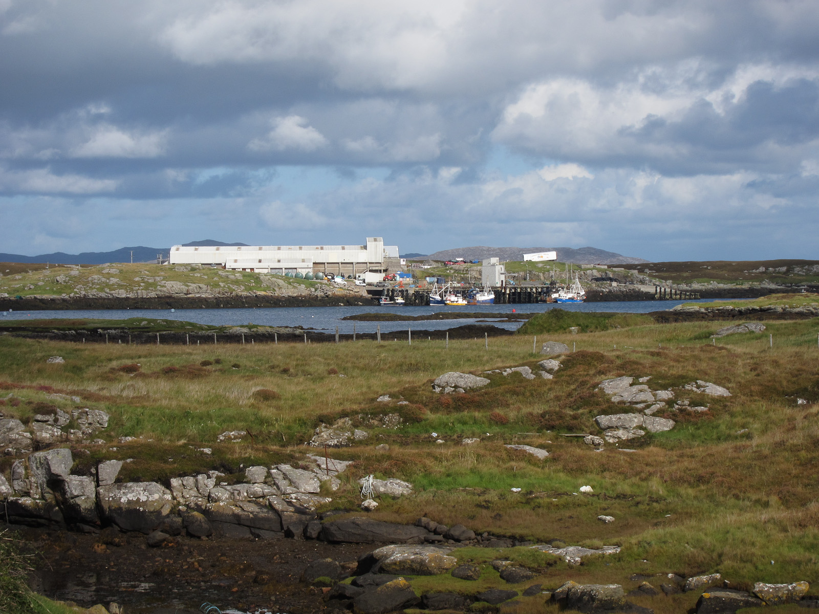
Barra

Barra (; Scottish Gaelic: Barraigh [ˈparˠaj] or Eilean Bharraigh [ˈelan ˈvarˠaj] ; Scots: Barra) is an island in the Outer Hebrides, Scotland, and the...
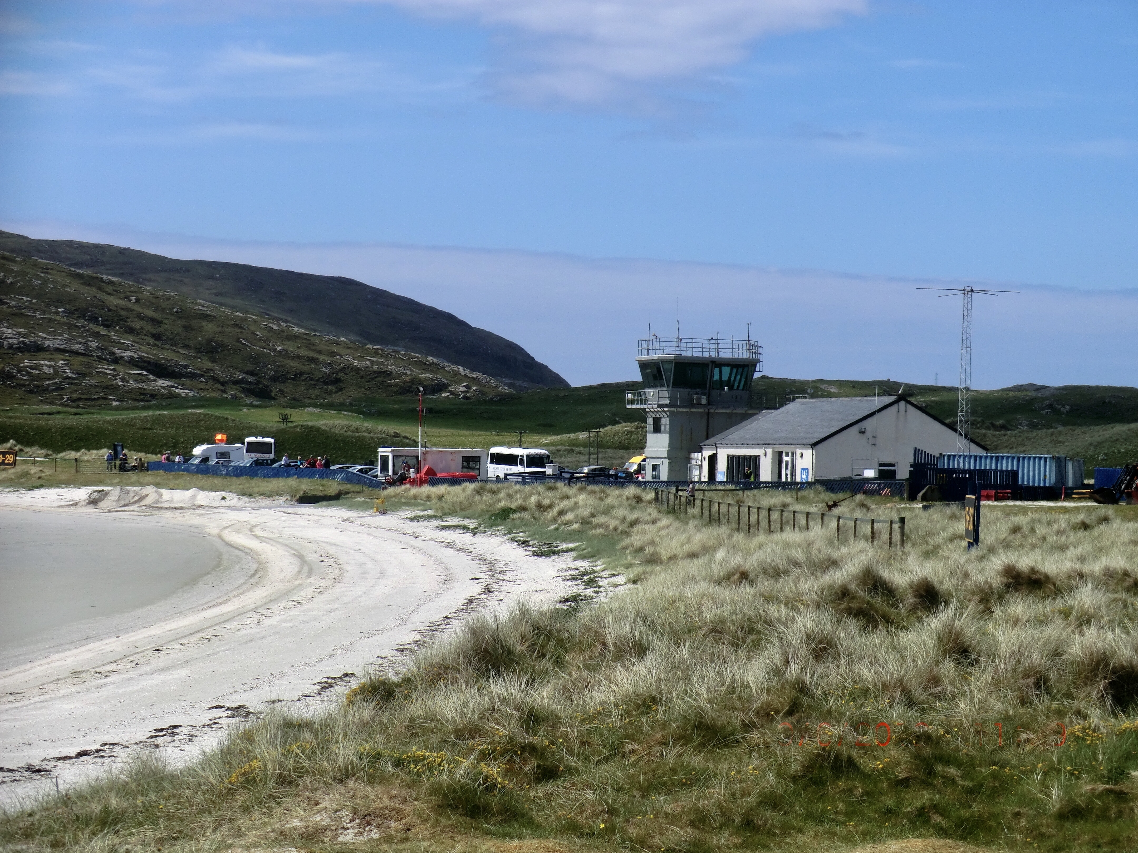
Barra Airport

Barra Airport (Scottish Gaelic: Port-adhair Bharraigh) (IATA: BRR, ICAO: EGPR) (also known as Barra Eoligarry Airport) is a short-runway airport (or STOLport...

Northbay

Northbay (Scottish Gaelic: Am Bàgh a Tuath) is a township and community in the north of Barra in the Outer Hebrides, off the west coast of Scotland. Northbay...

Traigh Mhòr

The Tràigh Mhòr, in English 'Big Beach', is a large expanse of sand forming a magnificent white beach at the northern end of the island of Barra in the...

Ardveenish

Ardveenish (Scottish Gaelic: Àird Mhèanais) is a village on Barra in the Western Isles, Scotland. Ardveenish is also within the parish of Barra. ��2�...

Nearby Amenities

Located within 500m of 57.011082,-7.5077896
Man Made: tower
Tower Type: communication
Lat/Long: 57.0108841/-7.5071854
Barrier: kissing_gate
Lat/Long: 57.0081664/-7.5016617
Barrier: kissing_gate
Lat/Long: 57.0076359/-7.5035464
Barrier: kissing_gate
Lat/Long: 57.0090862/-7.5008978
Barrier: kissing_gate
Lat/Long: 57.0076885/-7.5093883
Barrier: kissing_gate
Lat/Long: 57.0094302/-7.5109769
Barrier: kissing_gate
Lat/Long: 57.0090479/-7.5075346
Barrier: kissing_gate
Lat/Long: 57.0090003/-7.5040071
The data included in this document is from www.openstreetmap.org. The data is made available under ODbL.

Have you been to Àird Ghrèin?

Leave your review of Àird Ghrèin below (or comments, questions and feedback).