Caragrich Point
Coastal Feature, Headland, Point in Inverness-shire
Scotland
Caragrich Point
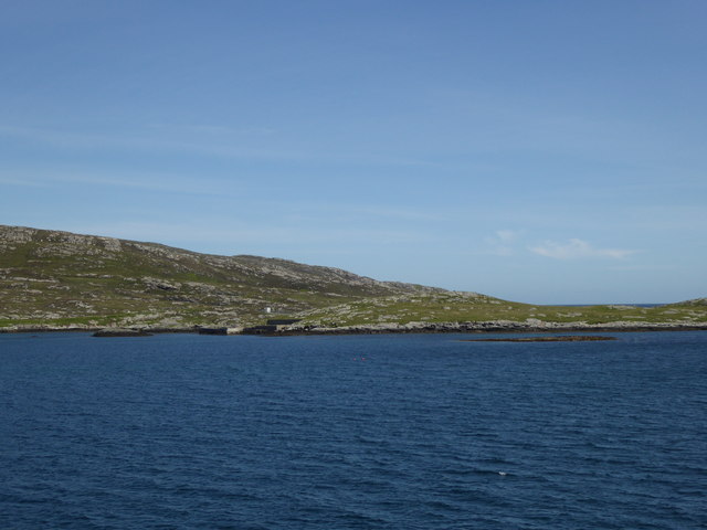
Caragrich Point is a prominent coastal feature located in Inverness-shire, Scotland. Situated on the western coast, it is specifically positioned on the southern edge of Loch Ewe, near the village of Poolewe. This headland, also known as Caragrich Head, extends into the North Atlantic Ocean, offering breathtaking views of the surrounding landscape.
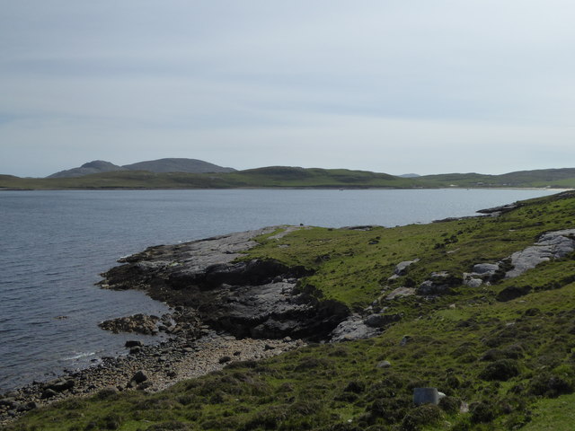
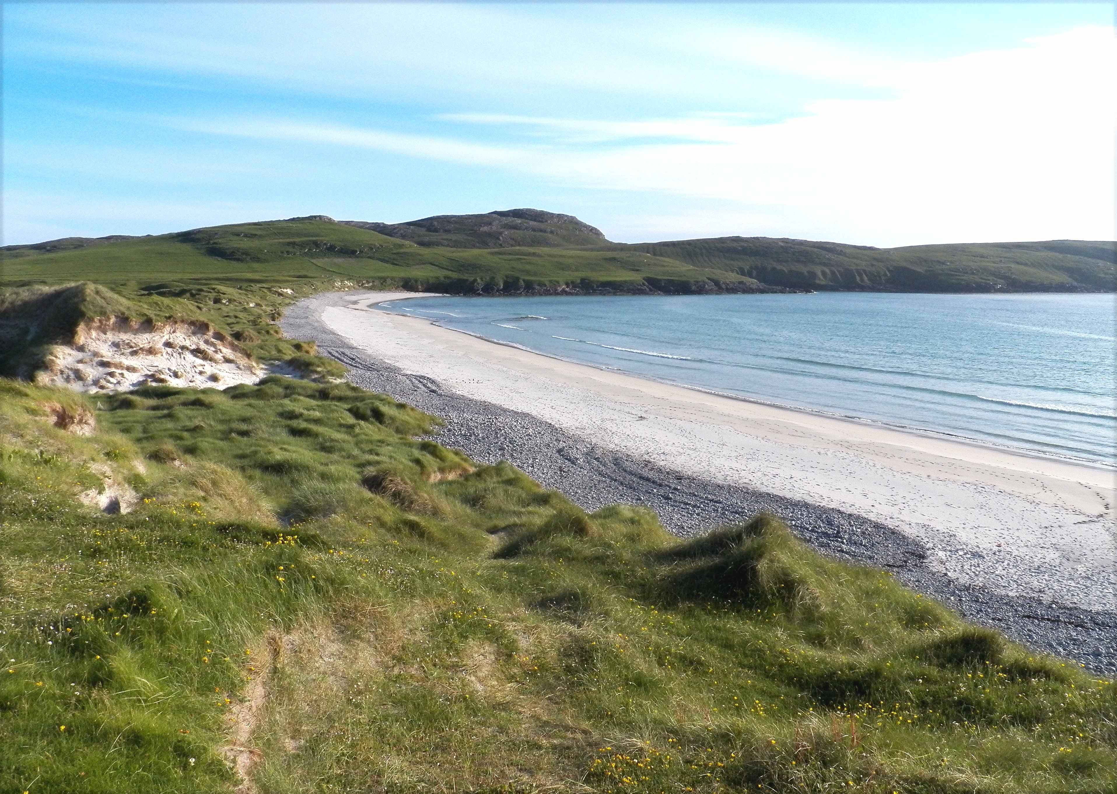
The point is characterized by its rugged, rocky cliffs, which rise dramatically from the sea. These cliffs provide a nesting habitat for a variety of seabirds, including gulls, fulmars, and kittiwakes. Visitors to Caragrich Point can witness these birds in their natural habitat, soaring above the crashing waves or perched on the cliff ledges.
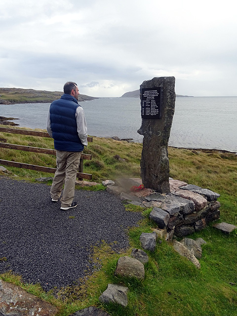
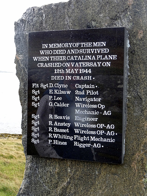
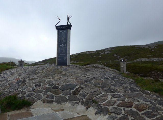
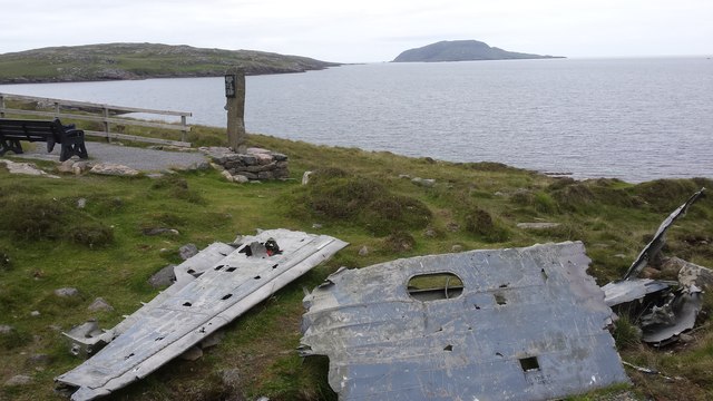
In addition to its natural beauty, Caragrich Point holds historical significance. During World War II, the area was used as a base for the British Navy. The remains of old military structures, including gun emplacements and watchtowers, can still be seen today, adding to the intrigue of the site.
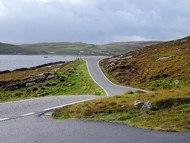
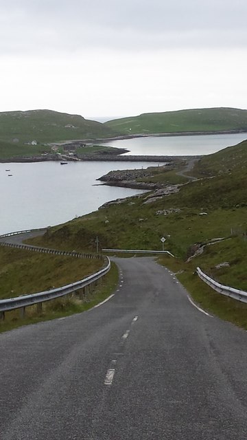
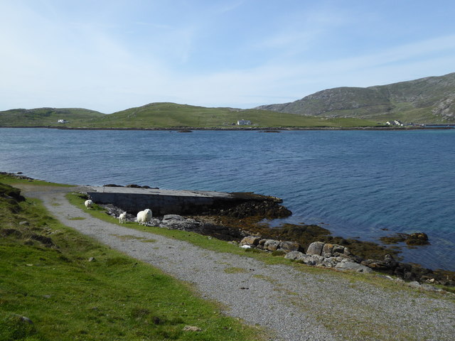
Access to Caragrich Point is relatively straightforward, with a footpath leading from the nearby village of Poolewe. This path meanders through scenic countryside before reaching the headland. Visitors are advised to exercise caution when traversing the cliff edges, as they can be steep and slippery. However, the effort is well worth it, as the panoramic views of the Loch Ewe and the surrounding mountains are simply awe-inspiring.
Overall, Caragrich Point is a remarkable coastal feature that combines natural beauty, wildlife, and historical significance. Whether one is a nature enthusiast, history buff, or simply seeking a place of tranquility, this headland offers a truly unforgettable experience.
If you have any feedback on the listing, please let us know in the comments section below.
Caragrich Point Images
Images are sourced within 2km of 56.934799/-7.4971337 or Grid Reference NL6596. Thanks to Geograph Open Source API. All images are credited.


Caragrich Point is located at Grid Ref: NL6596 (Lat: 56.934799, Lng: -7.4971337)
Unitary Authority: Na h-Eileanan an Iar
Police Authority: Highlands and Islands
What 3 Words
///back.commended.doing. Near CastleBay, Na h-Eileanan Siar
Nearby Locations
Related Wikis

St Brendan's Hospital, Castlebay
St Brendan's Hospital is a hospital in Castlebay on the island of Barra, Eileanan Siar. It is managed by NHS Western Isles. == History == The current facility...

Kisimul Castle
Kisimul Castle (Scottish Gaelic: Caisteal Chiosmuil) and also known as Kiessimul Castle, is a medieval castle located on a small island off Castlebay,...
Vatersay
The island of Vatersay (; Scottish Gaelic: Bhatarsaigh) is the southernmost and westernmost inhabited island in the Outer Hebrides of Scotland, and the...

Barrathon
The Barrathon is an annual half marathon which takes place on the Isle of Barra, which is the southernmost inhabited isle of the Outer Hebrides in Scotland...
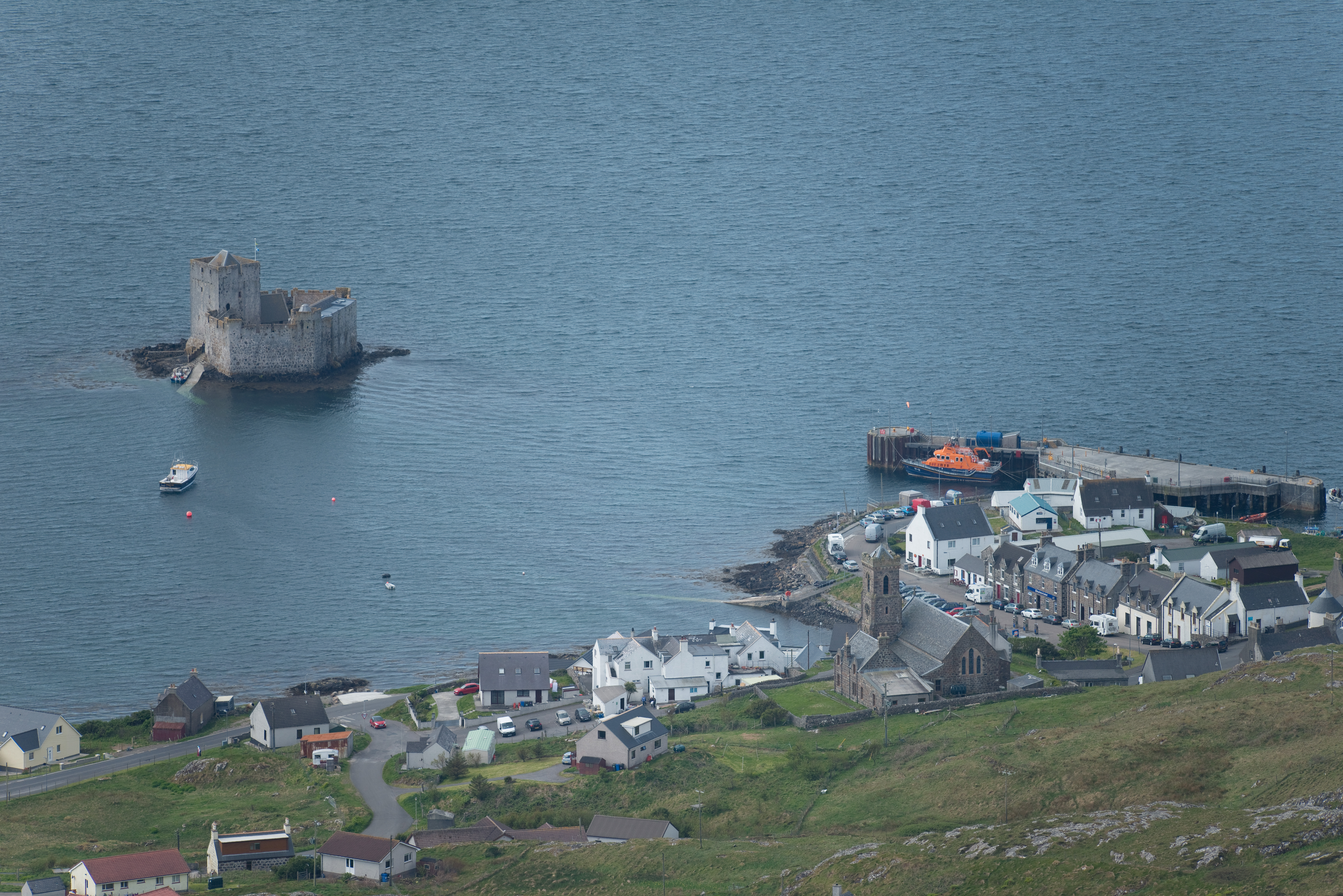
Castlebay
Castlebay (Scottish Gaelic: Bàgh a' Chaisteil [baːɣ ə ˈxaʃtʲɪl]) is the main village and a community council area on the island of Barra in the Outer Hebrides...
Castlebay Community School
Castlebay Community School is a bilingual Gaelic/English school for ages 3–18 on the Scottish island of Barra.In September 2007, it hosted a major tribute...

Vatersay Causeway
The Vatersay Causeway (Scottish Gaelic: Rathad Bhàgh Bhatarsaigh) is a 250-metre-long causeway that links the Scottish Hebridean Islands of Vatersay and...

Caolas
Caolas (Scottish Gaelic: An Caolas [ən̪ˠ ˈkʰɯːl̪ˠəs̪]), is a small settlement on the island of Vatersay, in the Outer Hebrides, Scotland. Caolas is within...
Nearby Amenities
Located within 500m of 56.934799,-7.4971337Have you been to Caragrich Point?
Leave your review of Caragrich Point below (or comments, questions and feedback).