Cnoc an Fhithich
Hill, Mountain in Inverness-shire
Scotland
Cnoc an Fhithich
![Church of Scotland at Cuithir Or Cuidhir, or Cuier. Just along the road [A888] from the houses of the same name.](https://s2.geograph.org.uk/geophotos/04/60/35/4603538_9b79ab18.jpg)
Cnoc an Fhithich is a prominent hill located in Inverness-shire, Scotland. It is situated near the town of Inverness and offers stunning views of the surrounding landscape. The hill has an elevation of approximately 400 meters (1,312 feet), making it a popular destination for hikers and outdoor enthusiasts.
The name "Cnoc an Fhithich" translates to "Hill of the Raven" in English, which is derived from the Gaelic language. This name reflects the abundance of ravens that can often be seen circling the hilltop, adding to the mystical and enchanting atmosphere of the area.
The terrain of Cnoc an Fhithich is characterized by rolling green slopes and rocky outcrops, providing a challenging yet rewarding climb for those who venture to its summit. On a clear day, visitors are rewarded with breathtaking panoramic views of the surrounding Inverness-shire countryside, including the nearby Loch Ness and the Great Glen.
The hill is also home to a diverse range of flora and fauna, including heather, wildflowers, and various bird species. It is not uncommon to spot other wildlife such as red deer or mountain hares while exploring the trails of Cnoc an Fhithich.
Access to Cnoc an Fhithich is relatively easy, with a well-marked path leading to the summit. The hill is a popular destination for both locals and tourists, offering a peaceful and tranquil escape from the bustling city of Inverness. Whether you are a seasoned hiker or just looking for a scenic stroll, Cnoc an Fhithich provides a memorable outdoor experience in the heart of Inverness-shire.
If you have any feedback on the listing, please let us know in the comments section below.
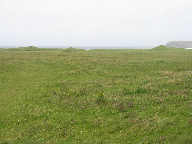
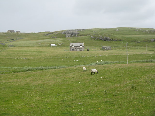
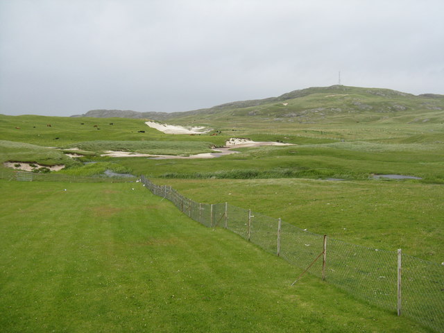
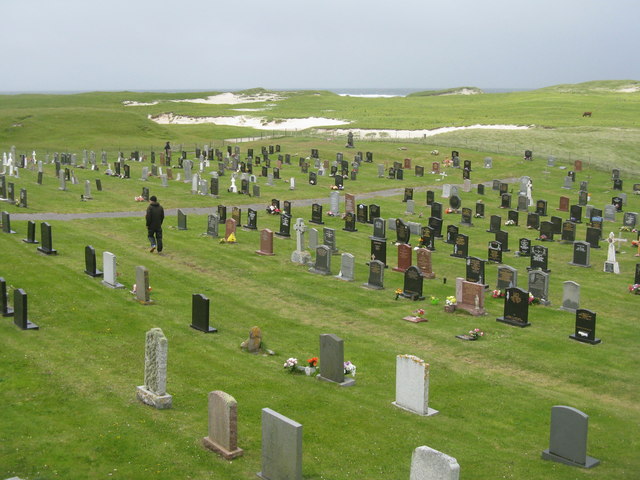
Cnoc an Fhithich Images
Images are sourced within 2km of 57.010854/-7.5072608 or Grid Reference NF6504. Thanks to Geograph Open Source API. All images are credited.
![Holding at Cleat/Cleit/Cliaid With Beinn Chlaid [another spelling of the same name!] behind.](https://s2.geograph.org.uk/geophotos/04/60/67/4606794_2e6ed79c.jpg)
![Fields between Cleat/Cleit and Grein Gently sloping strip fields come down to the coast. The map shows a relatively large area [approx. 2.75ha [about 8acres]] subdivided into long narrow strips, not seen very clearly from the ground when it is all in grass.](https://s2.geograph.org.uk/geophotos/04/60/68/4606810_d6626bf6.jpg)
![Beinn Chlaid A small [206m] but prominent hill at Cliaid, in northern Barra.](https://s3.geograph.org.uk/geophotos/04/60/68/4606875_b7cc1c17.jpg)
Cnoc an Fhithich is located at Grid Ref: NF6504 (Lat: 57.010854, Lng: -7.5072608)
Unitary Authority: Na h-Eileanan an Iar
Police Authority: Highlands and Islands
What 3 Words
///pedicure.dads.climber. Near CastleBay, Na h-Eileanan Siar
Nearby Locations
Related Wikis

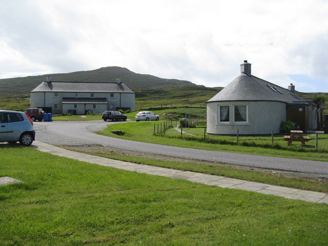
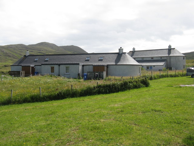
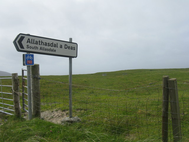
Allasdale
Allasdale (Scottish Gaelic: Athalasdal, pronounced [ˈa.əl̪ˠəs̪t̪əl̪ˠ]) is a settlement on Barra in the Outer Hebrides, Scotland. The settlement is also...

Borve, Barra
Borve (Scottish Gaelic: Borgh) is a village on the west coast of the island of Barra in the Outer Hebrides, Scotland. Borve is within the parish of Barra...

Isle of Barra distillery
Isle of Barra distillery at Borve, Barra, Scotland is a planned future whisky distillery on Barra. The Barra Distillery company was founded in 2003 but...

Barra
Barra (; Scottish Gaelic: Barraigh [ˈparˠaj] or Eilean Bharraigh [ˈelan ˈvarˠaj] ; Scots: Barra) is an island in the Outer Hebrides, Scotland, and the...
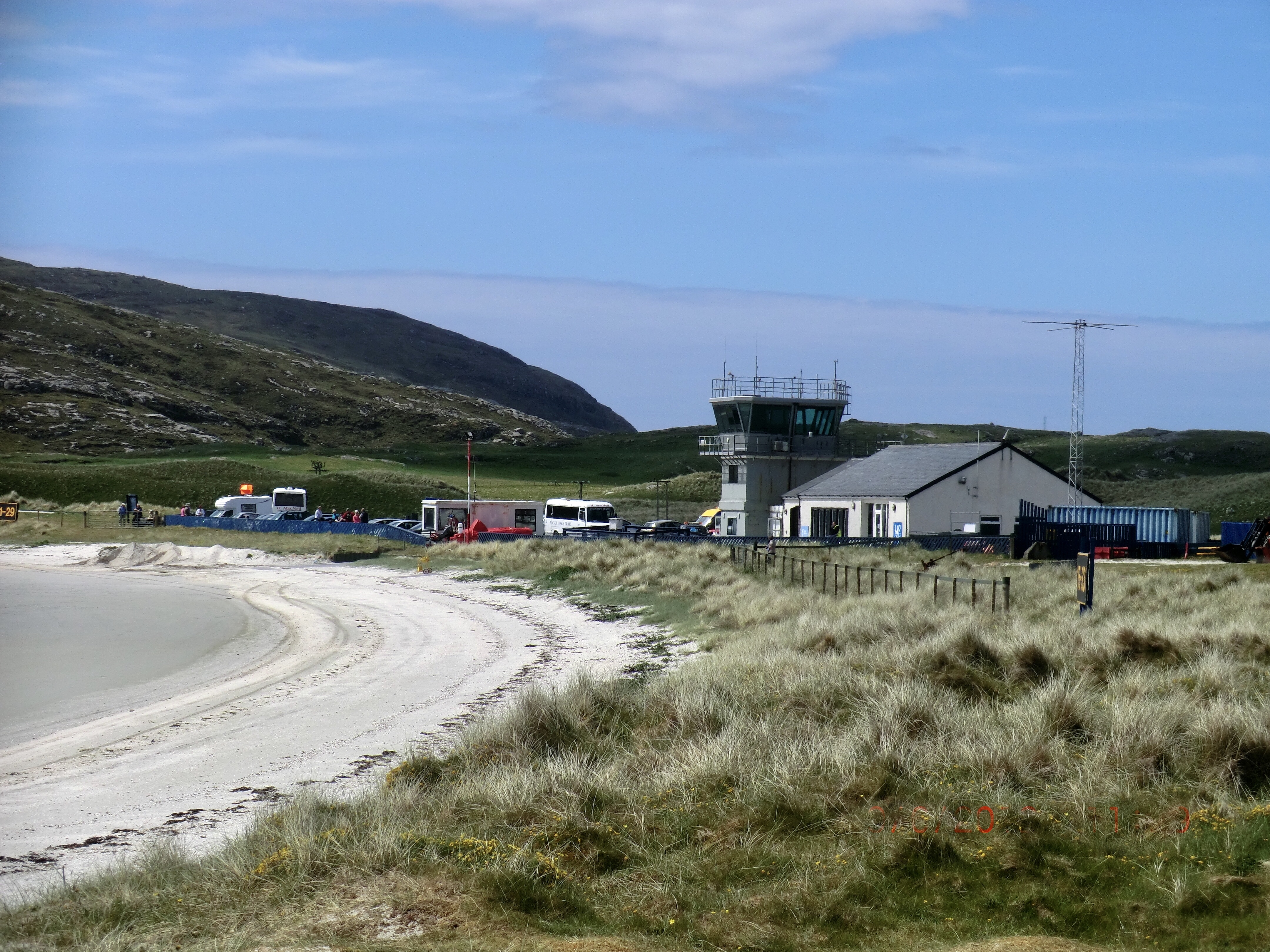
Barra Airport
Barra Airport (Scottish Gaelic: Port-adhair Bharraigh) (IATA: BRR, ICAO: EGPR) (also known as Barra Eoligarry Airport) is a short-runway airport (or STOLport...

Northbay
Northbay (Scottish Gaelic: Am Bàgh a Tuath) is a township and community in the north of Barra in the Outer Hebrides, off the west coast of Scotland. Northbay...
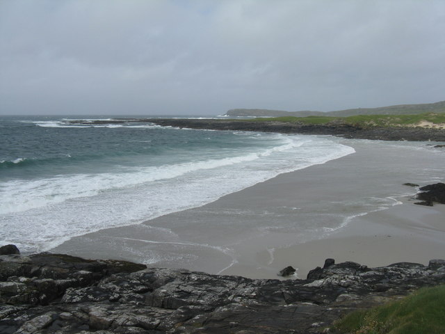
Traigh Mhòr
The Tràigh Mhòr, in English 'Big Beach', is a large expanse of sand forming a magnificent white beach at the northern end of the island of Barra in the...
Ardveenish
Ardveenish (Scottish Gaelic: Àird Mhèanais) is a village on Barra in the Western Isles, Scotland. Ardveenish is also within the parish of Barra. ��2�...
Nearby Amenities
Located within 500m of 57.010854,-7.5072608Have you been to Cnoc an Fhithich?
Leave your review of Cnoc an Fhithich below (or comments, questions and feedback).