Cuidhir
Coastal Feature, Headland, Point in Inverness-shire
Scotland
Cuidhir
The requested URL returned error: 429 Too Many Requests
If you have any feedback on the listing, please let us know in the comments section below.
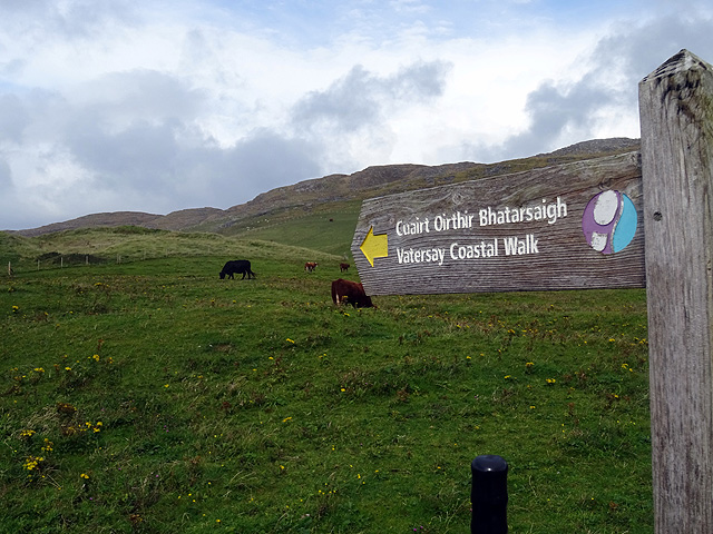
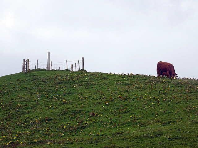
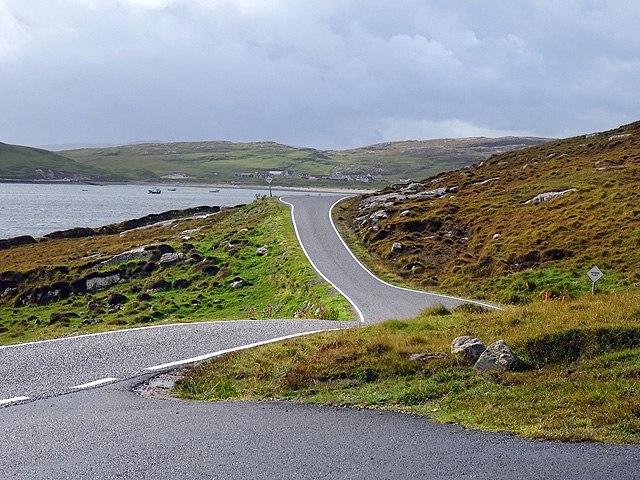
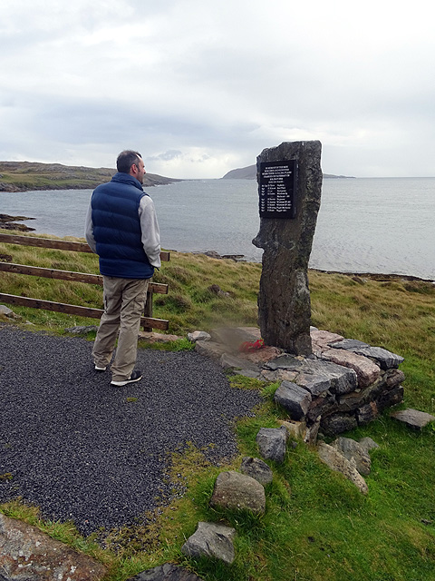
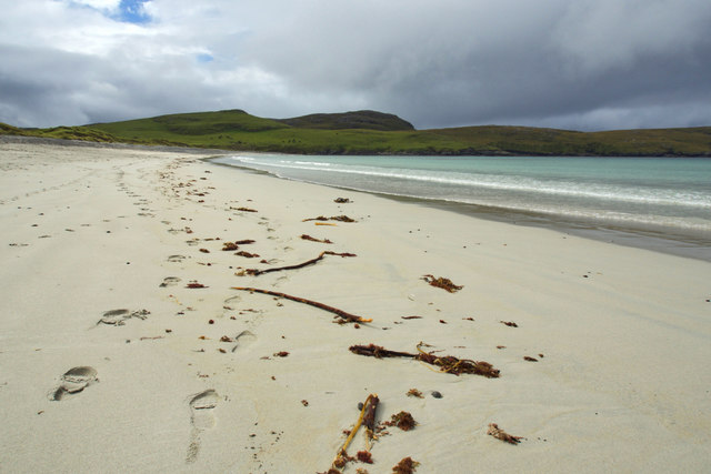
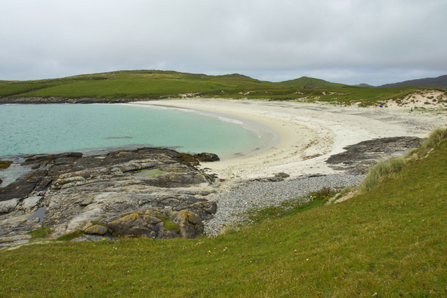
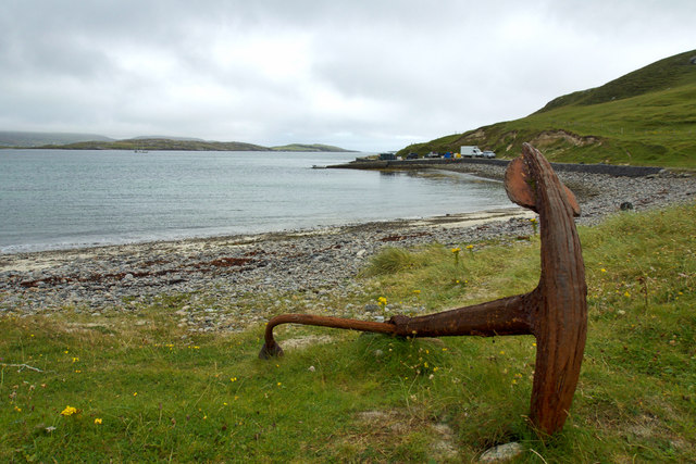
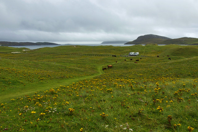
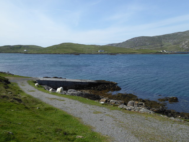
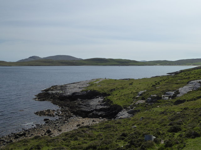
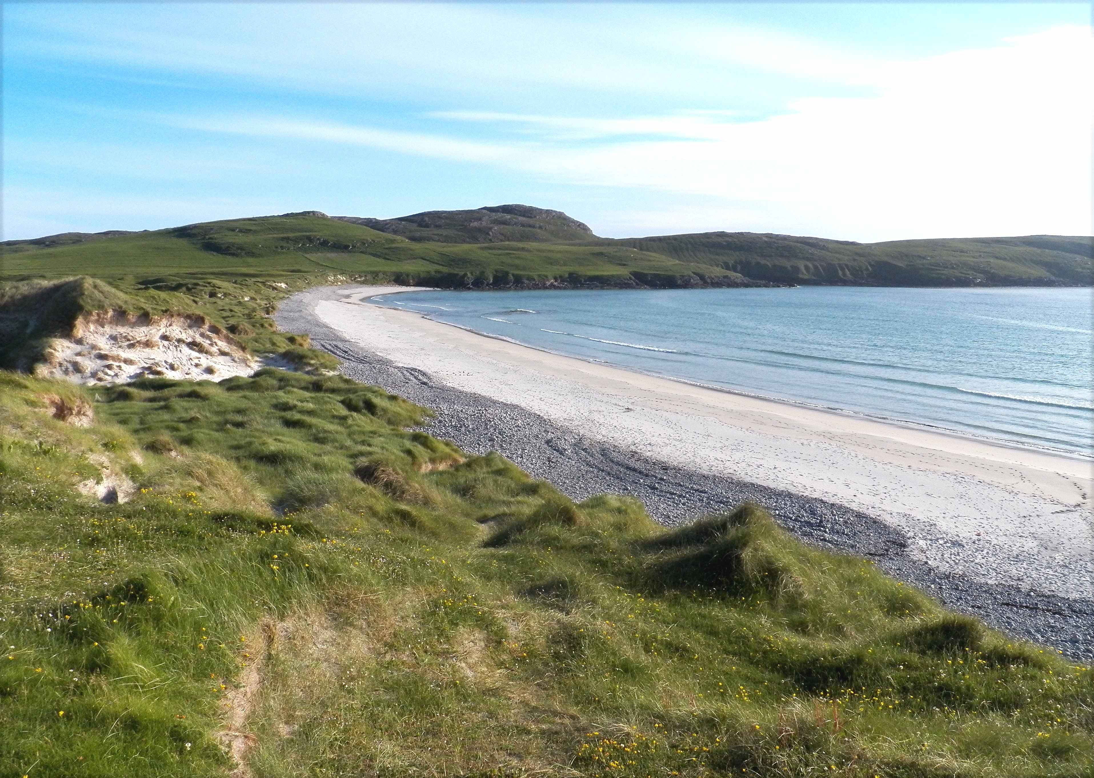
Cuidhir Images
Images are sourced within 2km of 56.920514/-7.5281055 or Grid Reference NL6394. Thanks to Geograph Open Source API. All images are credited.


Cuidhir is located at Grid Ref: NL6394 (Lat: 56.920514, Lng: -7.5281055)
Unitary Authority: Na h-Eileanan an Iar
Police Authority: Highlands and Islands
What 3 Words
///ballroom.unveils.calibrate. Near CastleBay, Na h-Eileanan Siar
Nearby Locations
Related Wikis
Vatersay
The island of Vatersay (; Scottish Gaelic: Bhatarsaigh) is the southernmost and westernmost inhabited island in the Outer Hebrides of Scotland, and the...

Caolas
Caolas (Scottish Gaelic: An Caolas [ən̪ˠ ˈkʰɯːl̪ˠəs̪]), is a small settlement on the island of Vatersay, in the Outer Hebrides, Scotland. Caolas is within...

Vatersay Causeway
The Vatersay Causeway (Scottish Gaelic: Rathad Bhàgh Bhatarsaigh) is a 250-metre-long causeway that links the Scottish Hebridean Islands of Vatersay and...

Sandray
Sandray (Scottish Gaelic: Sanndraigh) is one of the Barra Isles in the Outer Hebrides of Scotland. It never had a large population, and has been uninhabited...
Nearby Amenities
Located within 500m of 56.920514,-7.5281055Have you been to Cuidhir?
Leave your review of Cuidhir below (or comments, questions and feedback).