Beinn Chuidhir
Hill, Mountain in Inverness-shire
Scotland
Beinn Chuidhir
The requested URL returned error: 429 Too Many Requests
If you have any feedback on the listing, please let us know in the comments section below.
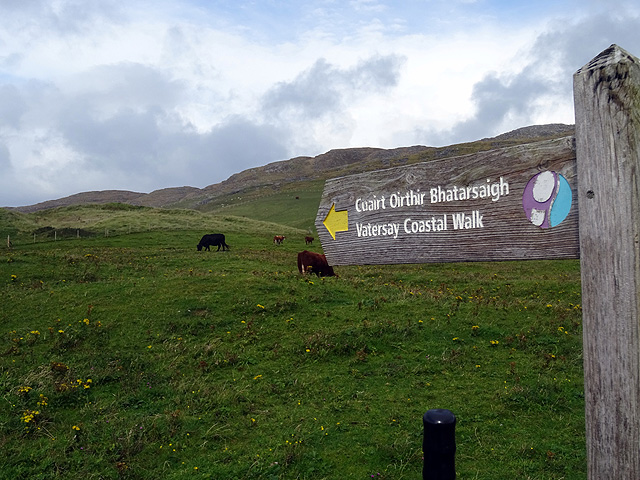
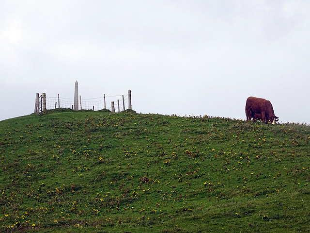
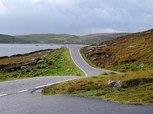
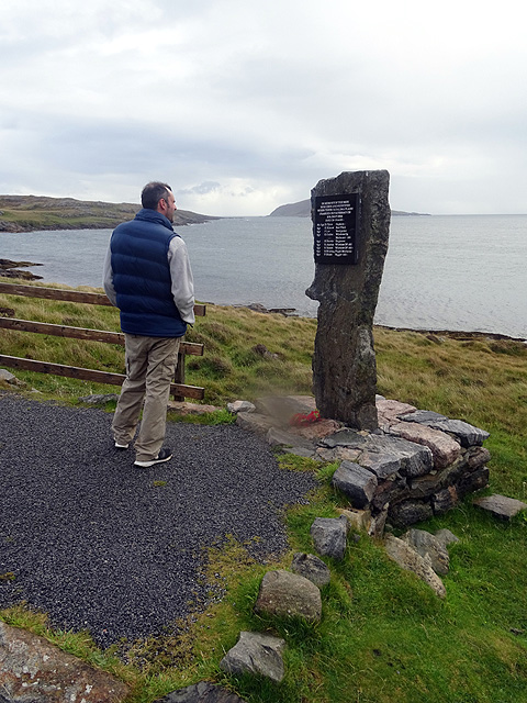
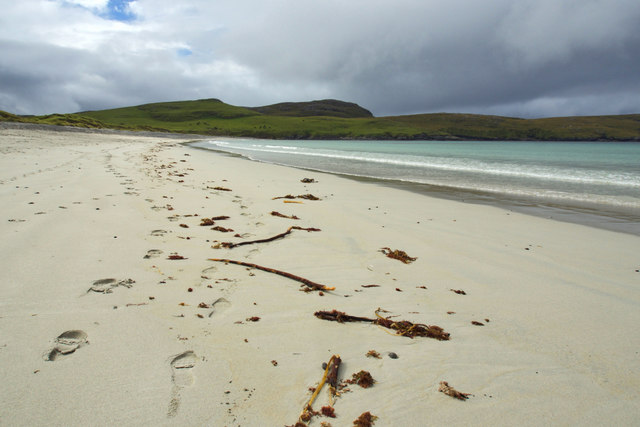
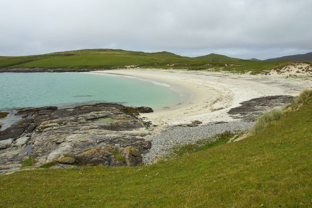
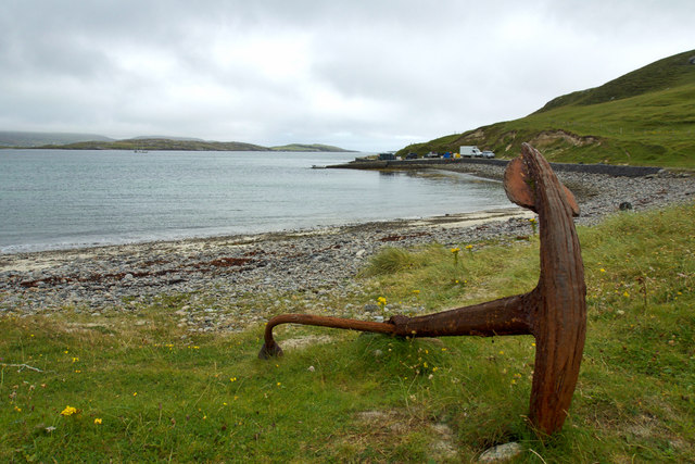
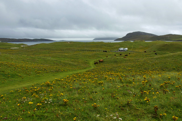
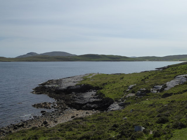
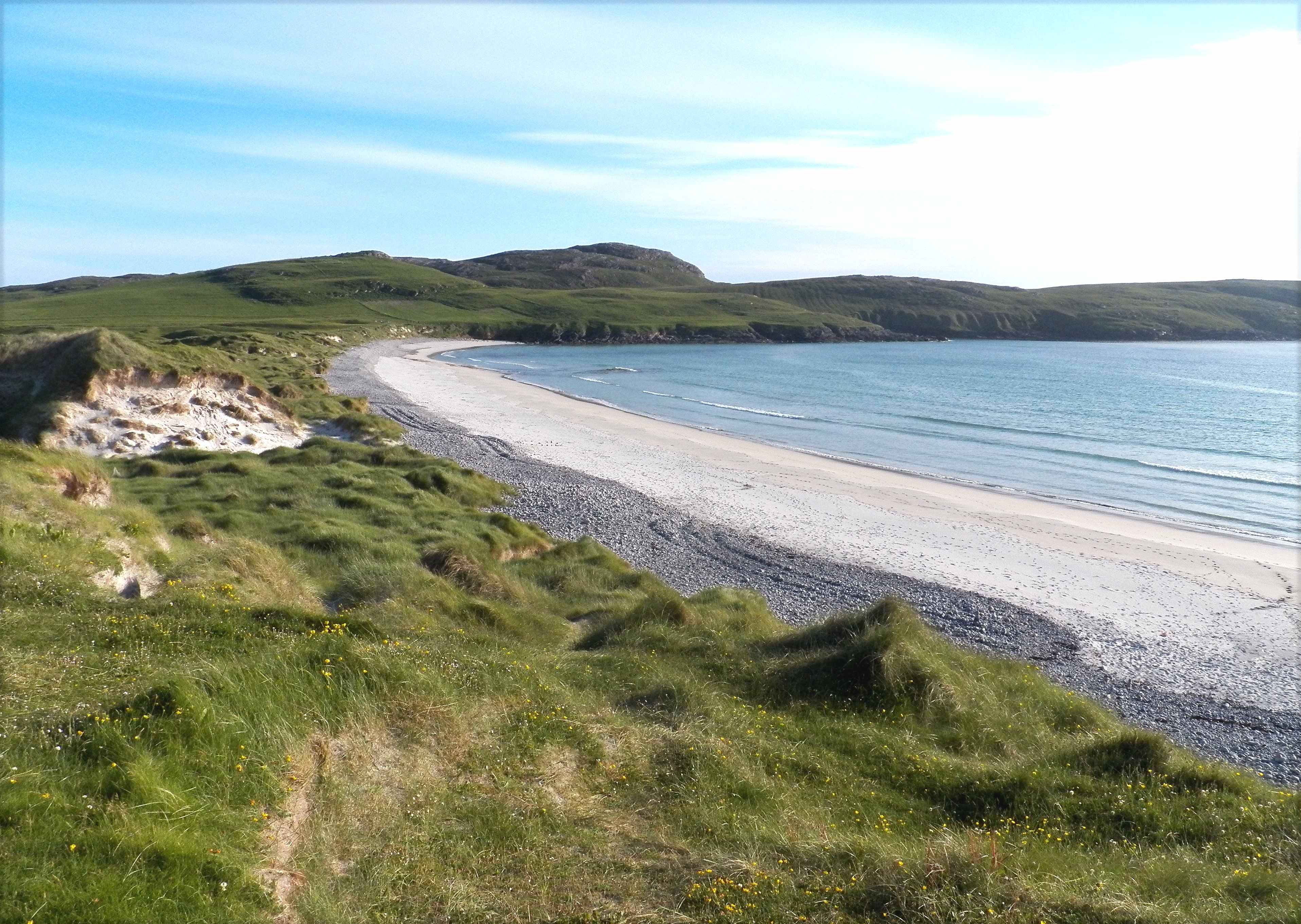
Beinn Chuidhir Images
Images are sourced within 2km of 56.919308/-7.5248493 or Grid Reference NL6394. Thanks to Geograph Open Source API. All images are credited.


Beinn Chuidhir is located at Grid Ref: NL6394 (Lat: 56.919308, Lng: -7.5248493)
Unitary Authority: Na h-Eileanan an Iar
Police Authority: Highlands and Islands
What 3 Words
///fidgeting.inkjet.fells. Near CastleBay, Na h-Eileanan Siar
Nearby Locations
Related Wikis
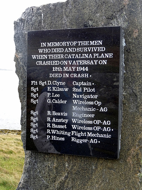
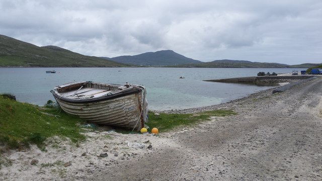
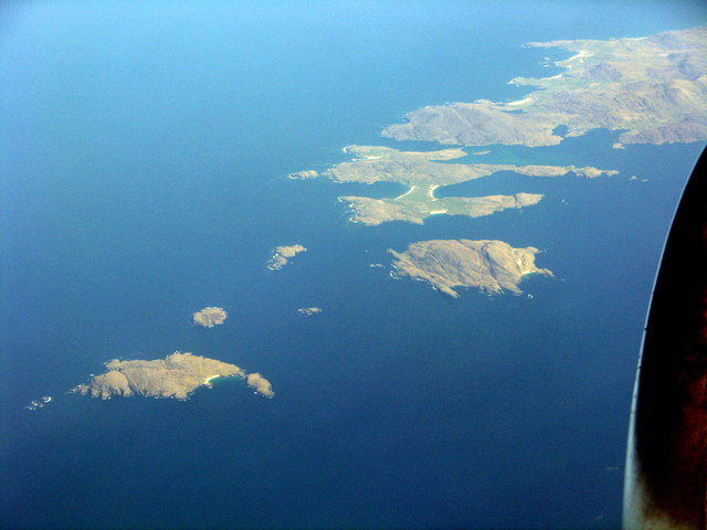
Vatersay
The island of Vatersay (; Scottish Gaelic: Bhatarsaigh) is the southernmost and westernmost inhabited island in the Outer Hebrides of Scotland, and the...

Sandray
Sandray (Scottish Gaelic: Sanndraigh) is one of the Barra Isles in the Outer Hebrides of Scotland. It never had a large population, and has been uninhabited...

Caolas
Caolas (Scottish Gaelic: An Caolas [ən̪ˠ ˈkʰɯːl̪ˠəs̪]), is a small settlement on the island of Vatersay, in the Outer Hebrides, Scotland. Caolas is within...

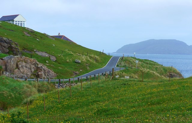
Vatersay Causeway
The Vatersay Causeway (Scottish Gaelic: Rathad Bhàgh Bhatarsaigh) is a 250-metre-long causeway that links the Scottish Hebridean Islands of Vatersay and...
Nearby Amenities
Located within 500m of 56.919308,-7.5248493Have you been to Beinn Chuidhir?
Leave your review of Beinn Chuidhir below (or comments, questions and feedback).