Beinn Tangabhal
Hill, Mountain in Inverness-shire
Scotland
Beinn Tangabhal
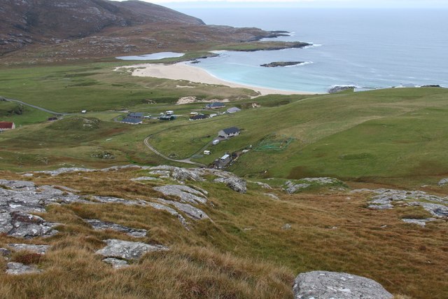
Beinn Tangabhal is a prominent hill located in Inverness-shire, Scotland. With an elevation of 562 meters (1,844 feet), it stands as one of the notable peaks in the region. The hill is situated in the Scottish Highlands, and its distinctive shape and picturesque surroundings make it a popular destination for hikers, climbers, and nature enthusiasts.
Beinn Tangabhal is characterized by its rugged terrain and rocky slopes, providing a challenging yet rewarding experience for outdoor adventurers. Its summit offers breathtaking panoramic views of the surrounding landscape, including the nearby Loch Ness and the Great Glen. On clear days, it is even possible to catch a glimpse of the distant mountains of the Cairngorms National Park.
The hill is covered in dense vegetation, mainly consisting of heather, grasses, and scattered patches of woodland. This diverse habitat is home to a variety of wildlife, including red deer, mountain hares, and various bird species. The area is also known for its rich archaeological heritage, with ancient cairns and stone circles scattered throughout the region.
Access to Beinn Tangabhal is relatively straightforward, with a well-defined path leading to the summit. However, it is important for visitors to be adequately prepared, as weather conditions in the Scottish Highlands can be unpredictable and change rapidly. Proper hiking gear, including sturdy footwear and waterproof clothing, is essential for a safe and enjoyable experience.
Overall, Beinn Tangabhal offers a rewarding outdoor experience for those seeking to immerse themselves in the stunning natural beauty of Inverness-shire. Its challenging terrain, breathtaking views, and rich biodiversity make it a must-visit destination for nature enthusiasts and adventure seekers alike.
If you have any feedback on the listing, please let us know in the comments section below.
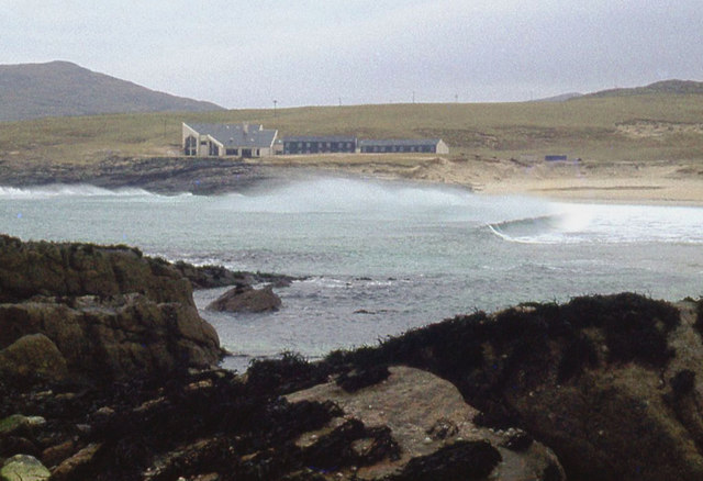
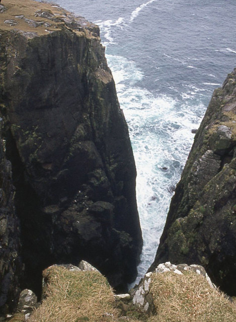
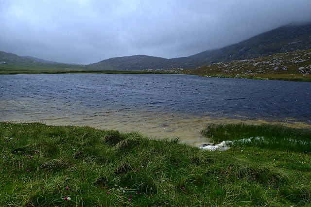
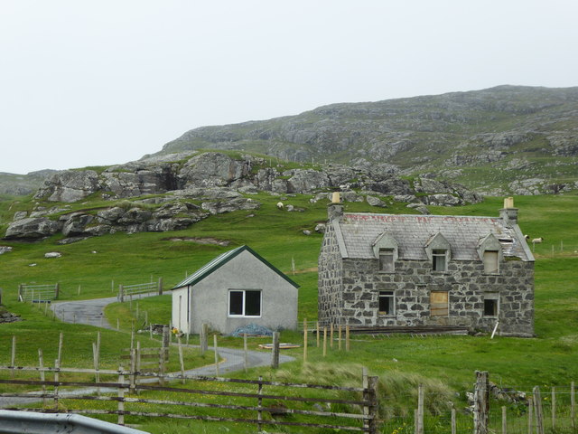
Beinn Tangabhal Images
Images are sourced within 2km of 56.960304/-7.5319709 or Grid Reference NL6399. Thanks to Geograph Open Source API. All images are credited.


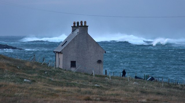
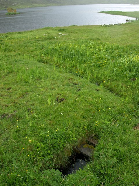
![Site of building, Allt Nam Breac Described by Canmore as &quot;Robbed and embedded small blachouse [sic], 8 x 4.5m, with possible subdivision at N end. Modified by subsequent re-use, and partly overlain by two small temporary shelters of type A. Another type A shelter (T199), represented by an oval stone setting, 4 x 2m, is also noted at this grid reference.&quot; See <span class="nowrap"><a title="https://canmore.org.uk/event/747757" rel="nofollow ugc noopener" href="https://canmore.org.uk/event/747757">Link</a><img style="margin-left:2px;" alt="External link" title="External link - shift click to open in new window" src="https://s1.geograph.org.uk/img/external.png" width="10" height="10"/></span>](https://s3.geograph.org.uk/geophotos/05/52/01/5520195_64e372ef.jpg)
Beinn Tangabhal is located at Grid Ref: NL6399 (Lat: 56.960304, Lng: -7.5319709)
Unitary Authority: Na h-Eileanan an Iar
Police Authority: Highlands and Islands
What 3 Words
///gratitude.universe.warm. Near CastleBay, Na h-Eileanan Siar
Nearby Locations
Related Wikis

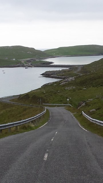
Vatersay Causeway
The Vatersay Causeway (Scottish Gaelic: Rathad Bhàgh Bhatarsaigh) is a 250-metre-long causeway that links the Scottish Hebridean Islands of Vatersay and...

Caolas
Caolas (Scottish Gaelic: An Caolas [ən̪ˠ ˈkʰɯːl̪ˠəs̪]), is a small settlement on the island of Vatersay, in the Outer Hebrides, Scotland. Caolas is within...

Castlebay Community School
Castlebay Community School is a bilingual Gaelic/English school for ages 3–18 on the Scottish island of Barra.In September 2007, it hosted a major tribute...

St Brendan's Hospital, Castlebay
St Brendan's Hospital is a hospital in Castlebay on the island of Barra, Eileanan Siar. It is managed by NHS Western Isles. == History == The current facility...
Nearby Amenities
Located within 500m of 56.960304,-7.5319709Have you been to Beinn Tangabhal?
Leave your review of Beinn Tangabhal below (or comments, questions and feedback).