Àird na Greagaig
Coastal Feature, Headland, Point in Inverness-shire
Scotland
Àird na Greagaig

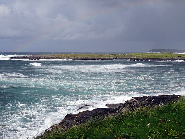
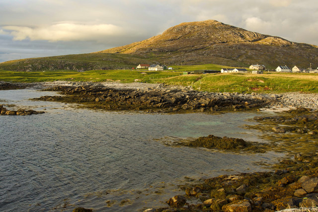
Àird na Greagaig is a prominent coastal feature located in Inverness-shire, Scotland. It is a picturesque headland that juts out into the North Atlantic Ocean, offering breathtaking views of the surrounding rugged coastline.
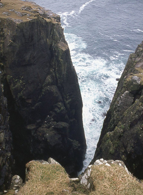
The headland is situated near the village of Arisaig and is characterized by its towering cliffs, which provide nesting grounds for a variety of seabirds, including puffins and guillemots. The area is also known for its rich marine life, with seals often spotted basking on the rocky shores and dolphins occasionally seen frolicking in the waters.
Visitors to Àird na Greagaig can enjoy a leisurely walk along the coastline, taking in the stunning scenery and observing the diverse wildlife. The headland is accessible via a well-maintained footpath that winds its way through rolling hills and heathland, offering a chance to immerse oneself in the peaceful and untouched natural beauty of the area.
In addition to its natural attractions, Àird na Greagaig holds historical significance. The remains of an Iron Age fort can be found on the headland, providing a glimpse into the area's ancient past. The fort's strategic location on the headland suggests that it may have served as a defensive stronghold during that time.
Overall, Àird na Greagaig is a captivating coastal feature in Inverness-shire that combines stunning natural beauty, diverse wildlife, and a touch of history. Whether for a peaceful walk, birdwatching, or simply enjoying the awe-inspiring views, it is a place that truly showcases the splendor of Scotland's coastline.
If you have any feedback on the listing, please let us know in the comments section below.
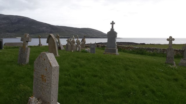
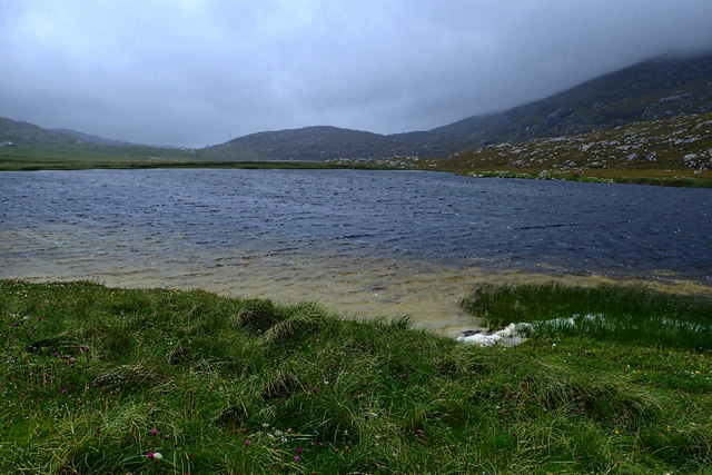
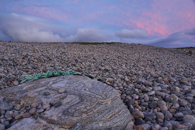
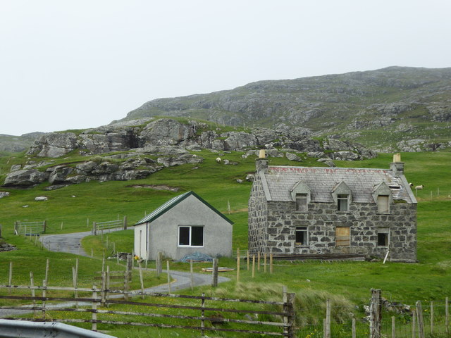
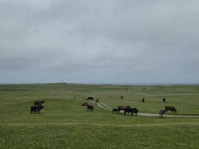
Àird na Greagaig Images
Images are sourced within 2km of 56.973959/-7.5355998 or Grid Reference NF6300. Thanks to Geograph Open Source API. All images are credited.


Àird na Greagaig is located at Grid Ref: NF6300 (Lat: 56.973959, Lng: -7.5355998)
Unitary Authority: Na h-Eileanan an Iar
Police Authority: Highlands and Islands
What 3 Words
///savers.hillsides.boarding. Near CastleBay, Na h-Eileanan Siar
Nearby Locations
Related Wikis

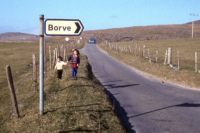
Borve, Barra
Borve (Scottish Gaelic: Borgh) is a village on the west coast of the island of Barra in the Outer Hebrides, Scotland. Borve is within the parish of Barra...

Isle of Barra distillery
Isle of Barra distillery at Borve, Barra, Scotland is a planned future whisky distillery on Barra. The Barra Distillery company was founded in 2003 but...

Vatersay Causeway
The Vatersay Causeway (Scottish Gaelic: Rathad Bhàgh Bhatarsaigh) is a 250-metre-long causeway that links the Scottish Hebridean Islands of Vatersay and...
Castlebay Community School
Castlebay Community School is a bilingual Gaelic/English school for ages 3–18 on the Scottish island of Barra.In September 2007, it hosted a major tribute...
Nearby Amenities
Located within 500m of 56.973959,-7.5355998Have you been to Àird na Greagaig?
Leave your review of Àird na Greagaig below (or comments, questions and feedback).