Dùn Bàn
Heritage Site in Inverness-shire
Scotland
Dùn Bàn

Dùn Bàn is a historic site located in Inverness-shire, Scotland. It is situated on a rocky promontory overlooking the Sound of Mull, providing stunning views of the surrounding landscape. The site is believed to have been used as a fortified settlement dating back to the Iron Age, with evidence of ancient stone structures and defensive walls still visible today.
The main feature of Dùn Bàn is the well-preserved ruins of a circular stone tower, which is thought to have been a stronghold for the local inhabitants. The tower is surrounded by a series of outer walls and ditches, which would have provided additional protection for the inhabitants. The site also features a number of other archaeological remains, including hut circles and burial mounds, which offer insights into the daily life and burial practices of the ancient inhabitants.
Dùn Bàn is a designated heritage site, protected by the Scottish government as a site of national importance. Visitors to the site can explore the ruins and enjoy the breathtaking views of the surrounding countryside, making it a popular destination for history enthusiasts and nature lovers alike.
If you have any feedback on the listing, please let us know in the comments section below.
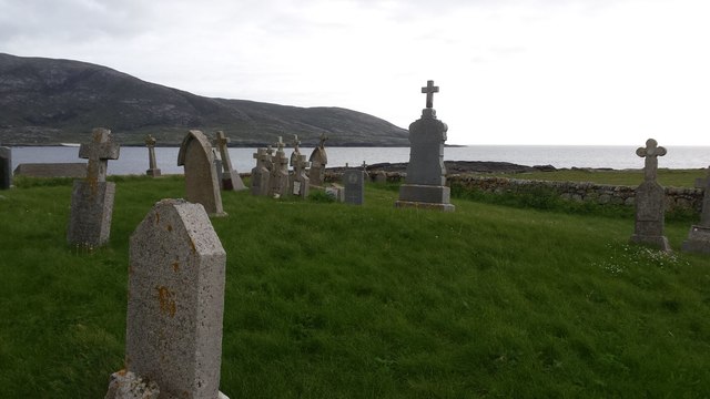
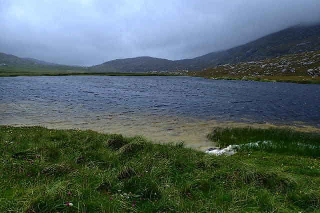
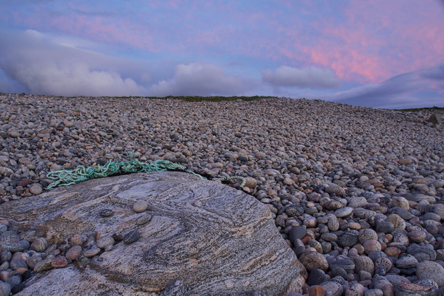
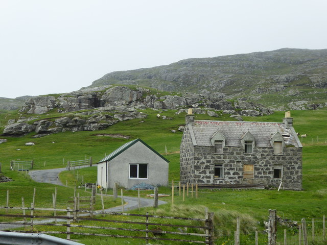
Dùn Bàn Images
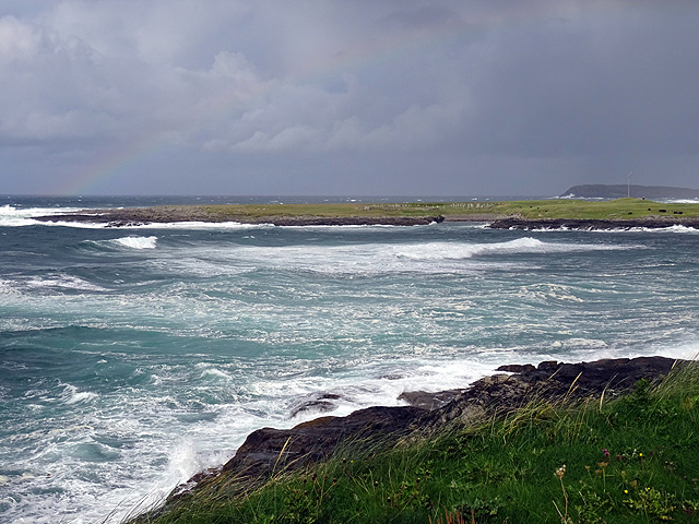
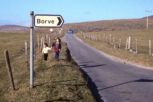
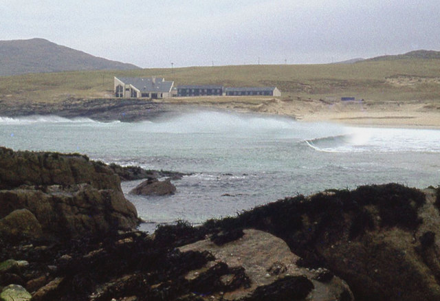
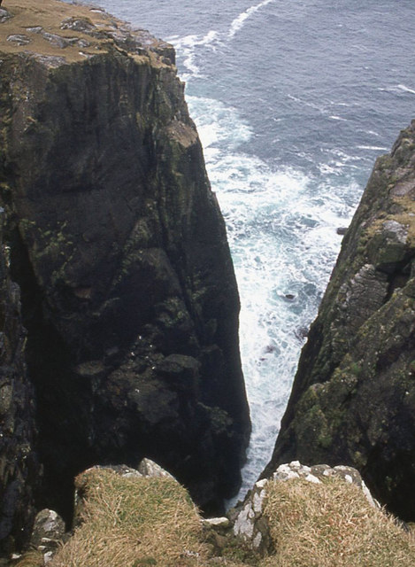
Images are sourced within 2km of 56.973/-7.538 or Grid Reference NF6300. Thanks to Geograph Open Source API. All images are credited.


Dùn Bàn is located at Grid Ref: NF6300 (Lat: 56.973, Lng: -7.538)
Unitary Authority: Na h-Eileanan an Iar
Police Authority: Highlands and Islands
What 3 Words
///pacemaker.slurred.tablet. Near CastleBay, Na h-Eileanan Siar
Nearby Locations
Related Wikis

Borve, Barra
Borve (Scottish Gaelic: Borgh) is a village on the west coast of the island of Barra in the Outer Hebrides, Scotland. Borve is within the parish of Barra...

Isle of Barra distillery
Isle of Barra distillery at Borve, Barra, Scotland is a planned future whisky distillery on Barra. The Barra Distillery company was founded in 2003 but...

Vatersay Causeway
The Vatersay Causeway (Scottish Gaelic: Rathad Bhàgh Bhatarsaigh) is a 250-metre-long causeway that links the Scottish Hebridean Islands of Vatersay and...
Castlebay Community School
Castlebay Community School is a bilingual Gaelic/English school for ages 3–18 on the Scottish island of Barra.In September 2007, it hosted a major tribute...
Nearby Amenities
Located within 500m of 56.973,-7.538Have you been to Dùn Bàn?
Leave your review of Dùn Bàn below (or comments, questions and feedback).