Leac a' Langaich
Coastal Feature, Headland, Point in Inverness-shire
Scotland
Leac a' Langaich
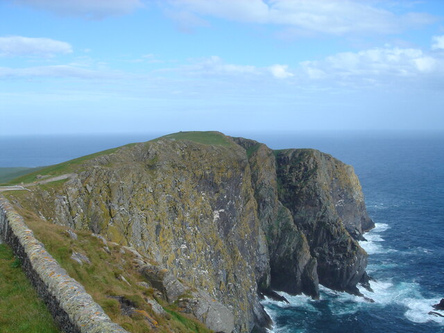
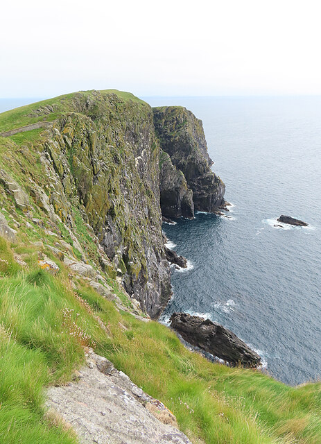
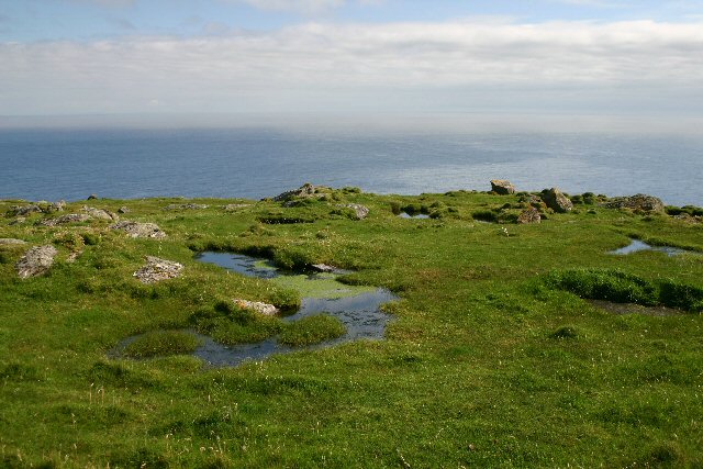
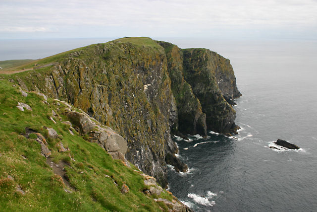
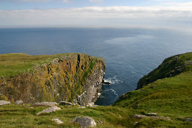
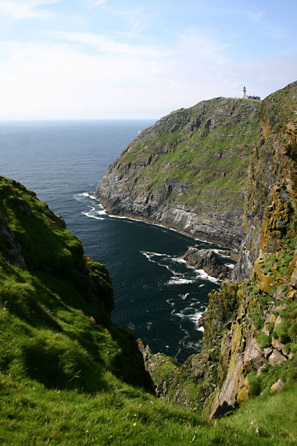
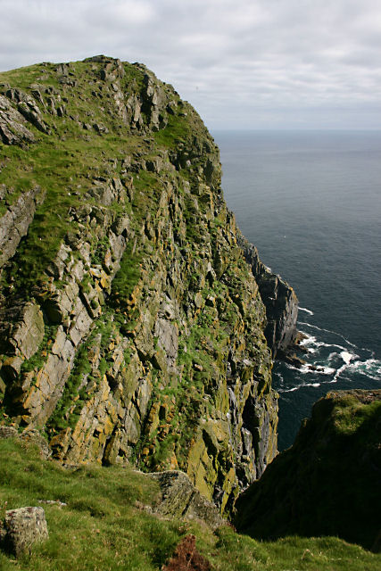
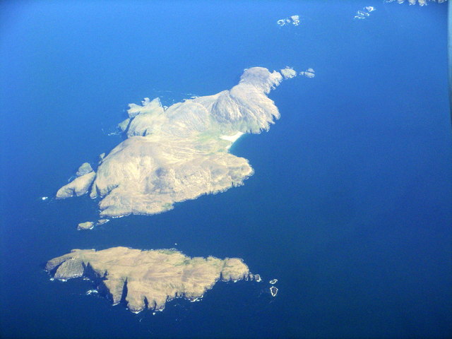
Leac a' Langaich, located in Inverness-shire, Scotland, is a prominent coastal feature known for its stunning headland and point. Situated along the rugged coastline, it offers breathtaking views of the surrounding landscape and the vast expanse of the North Sea.
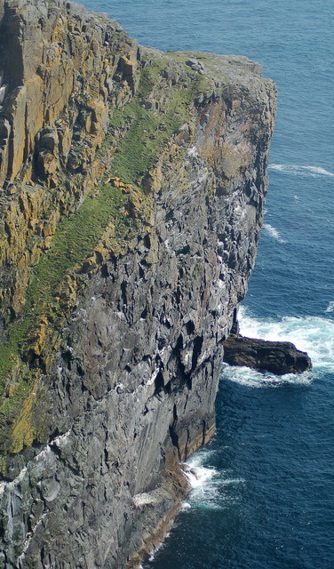
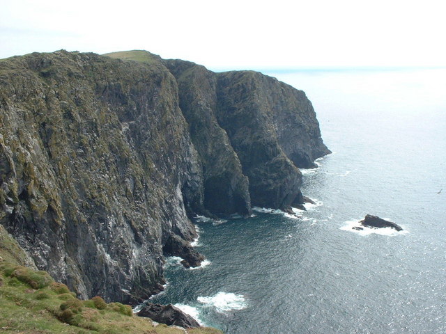
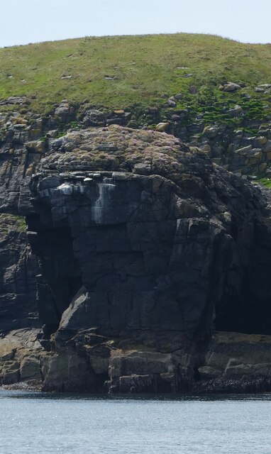
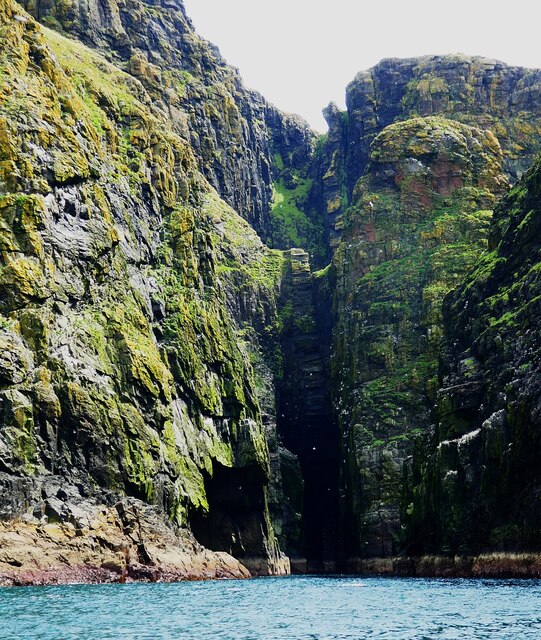
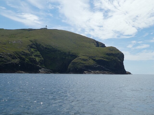
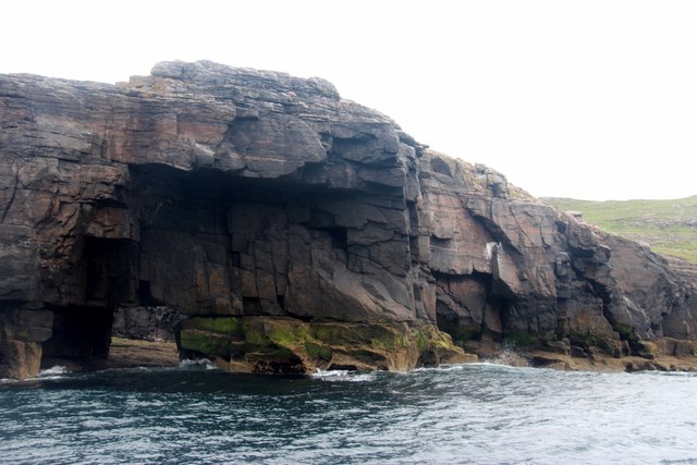
The headland is characterized by its rocky cliffs, which rise dramatically from the crashing waves below. These cliffs provide a natural barrier against the powerful forces of the sea, creating a sense of awe and grandeur. The exposed rock formations display a variety of shapes and textures, showcasing the geological history of the area.
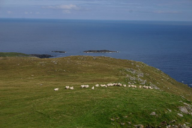
Leac a' Langaich is a popular destination for nature enthusiasts and outdoor adventurers alike. The headland offers fantastic opportunities for coastal walks and hikes, allowing visitors to explore the rugged terrain and witness the abundance of wildlife that inhabits the area. Seabird colonies, such as gannets and puffins, can be observed nesting on the cliffs, while seals and dolphins can often be spotted swimming in the waters below.
In addition to its natural beauty, Leac a' Langaich holds historical significance. It is believed to have served as an important landmark for sailors and fishermen navigating the treacherous waters along the coast. The point offers panoramic views of the surrounding area, providing a strategic vantage point for observation.
Overall, Leac a' Langaich is a captivating coastal feature that showcases the beauty and power of nature. Its rugged cliffs, diverse wildlife, and historical significance make it a must-visit destination for those seeking to immerse themselves in the natural wonders of Inverness-shire.
If you have any feedback on the listing, please let us know in the comments section below.
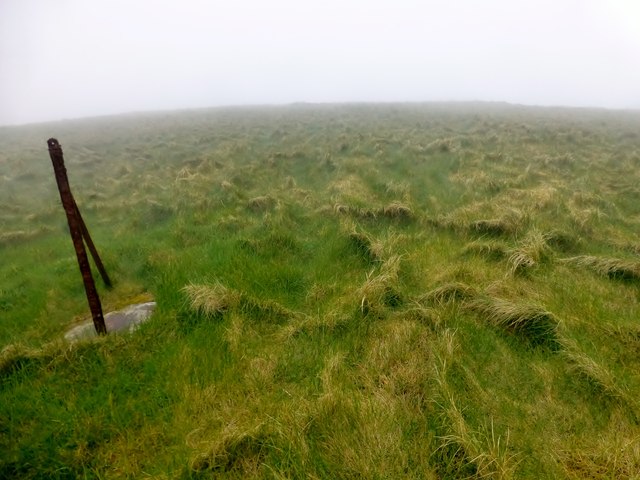
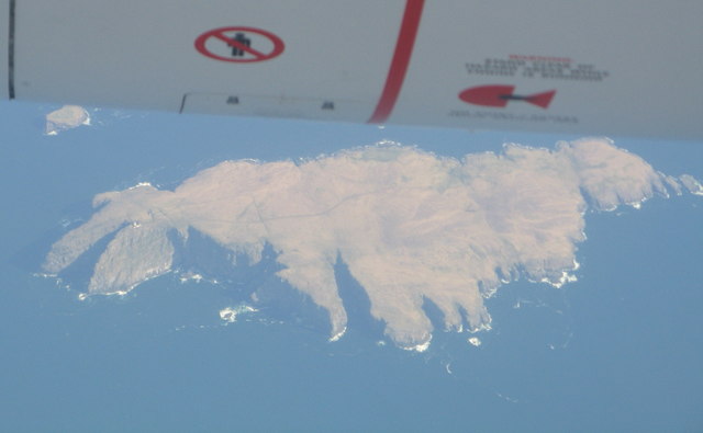
Leac a' Langaich Images
Images are sourced within 2km of 56.788825/-7.630558 or Grid Reference NL5680. Thanks to Geograph Open Source API. All images are credited.
Leac a' Langaich is located at Grid Ref: NL5680 (Lat: 56.788825, Lng: -7.630558)
Unitary Authority: Na h-Eileanan an Iar
Police Authority: Highlands and Islands
What 3 Words
///wings.applies.contoured. Near CastleBay, Na h-Eileanan Siar
Nearby Locations
Related Wikis

Barra Head
Barra Head, also known as Berneray (Scottish Gaelic: Beàrnaraigh; Scots: Barra Heid), is the southernmost island of the Outer Hebrides in Scotland. Within...

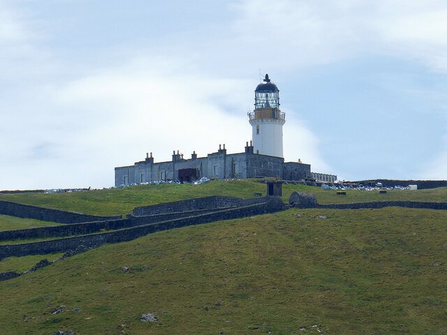
Barra Head Lighthouse
Barra Head Lighthouse on Barra Head identifies the southern entrance to The Minch, roughly halfway between the Eilean Glas and Rinns of Islay lighthouses...

Barra Isles
The Barra Isles, also known as the Bishop's Isles, are a small archipelago in the Outer Hebrides of Scotland. They lie south of the island of Barra, for...

Mingulay
Mingulay (Scottish Gaelic: Miughalaigh) is the second largest of the Bishop's Isles in the Outer Hebrides of Scotland. Located 12 nautical miles (22 kilometres...
Nearby Amenities
Located within 500m of 56.788825,-7.630558Have you been to Leac a' Langaich?
Leave your review of Leac a' Langaich below (or comments, questions and feedback).