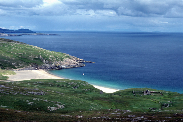
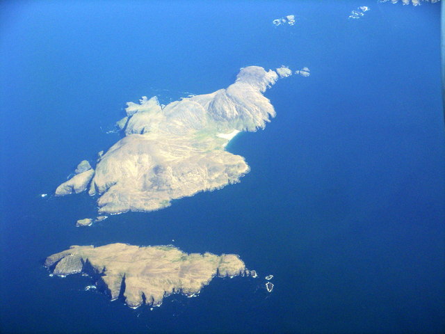
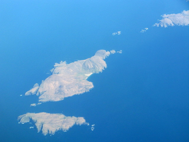
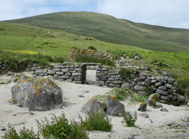
Geodhachan
Coastal Feature, Headland, Point in Inverness-shire
Scotland
Geodhachan
The requested URL returned error: 429 Too Many Requests
If you have any feedback on the listing, please let us know in the comments section below.
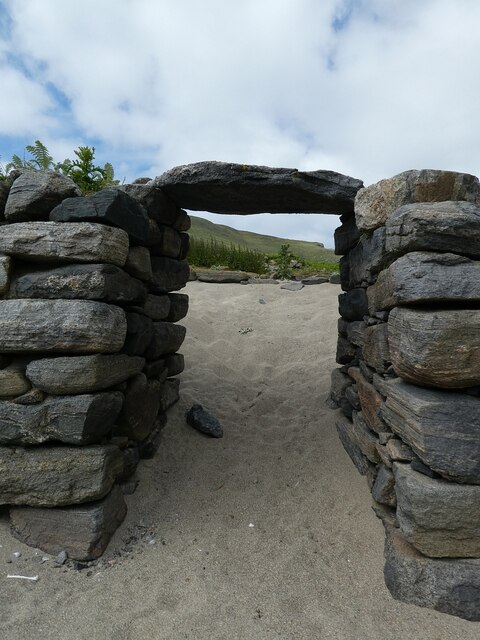
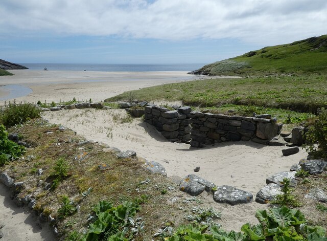
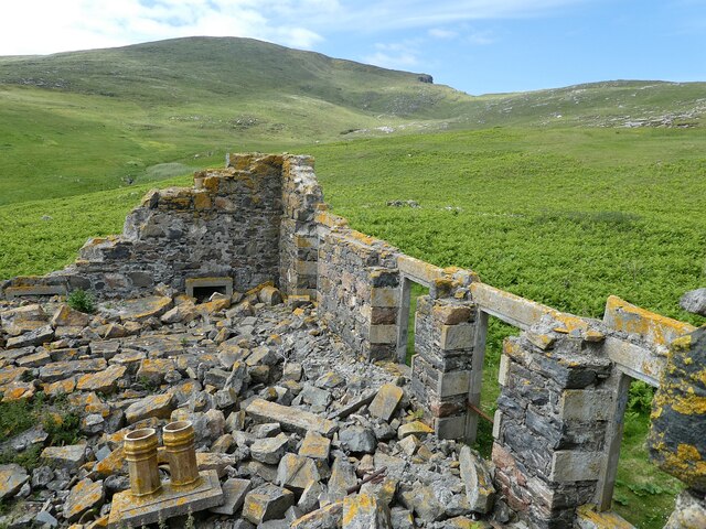
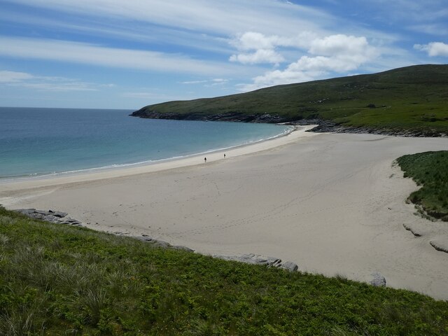
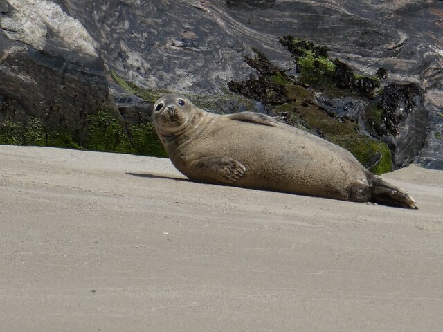
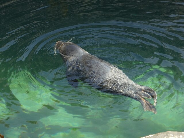
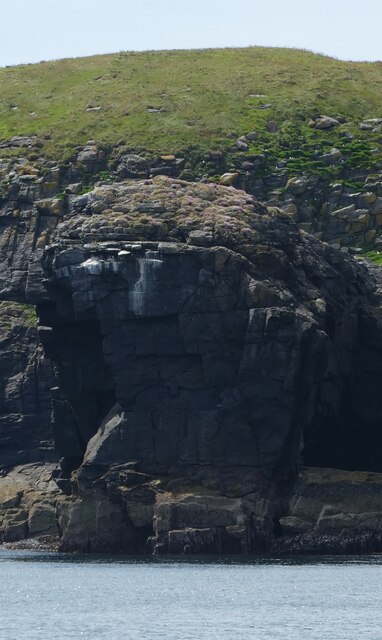
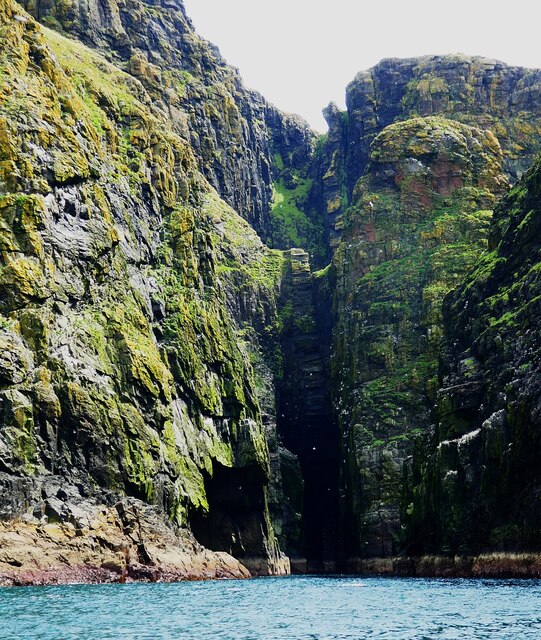
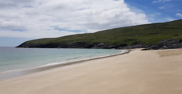
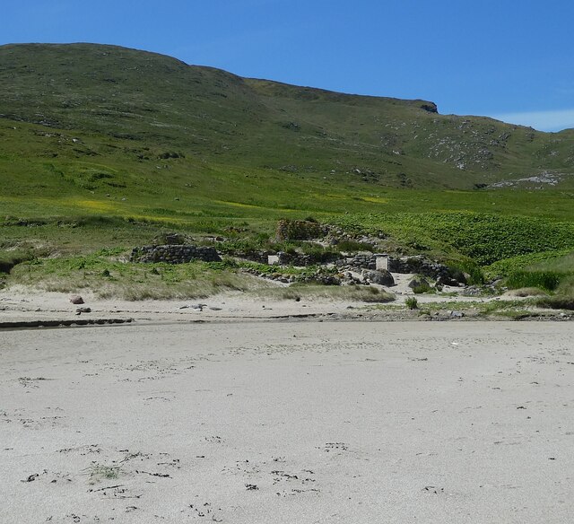
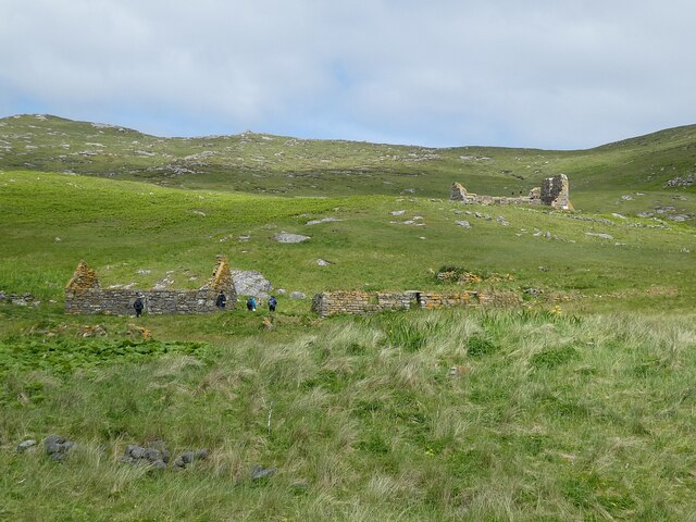
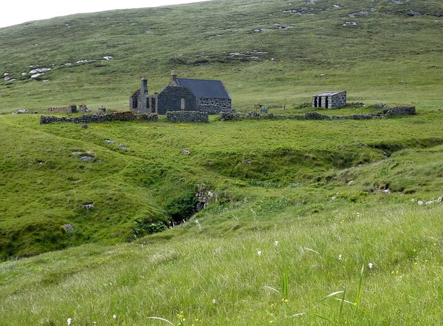
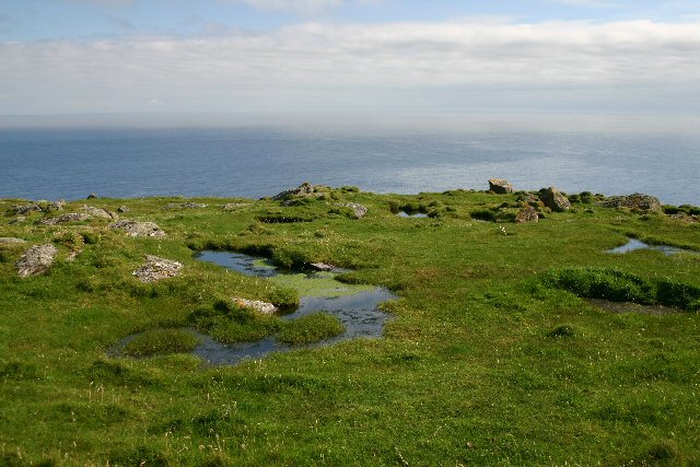
Geodhachan Images
Images are sourced within 2km of 56.802546/-7.6245002 or Grid Reference NL5682. Thanks to Geograph Open Source API. All images are credited.


Geodhachan is located at Grid Ref: NL5682 (Lat: 56.802546, Lng: -7.6245002)
Unitary Authority: Na h-Eileanan an Iar
Police Authority: Highlands and Islands
What 3 Words
///eggplants.fooling.stubbed. Near CastleBay, Na h-Eileanan Siar
Nearby Locations
Related Wikis

Barra Isles
The Barra Isles, also known as the Bishop's Isles, are a small archipelago in the Outer Hebrides of Scotland. They lie south of the island of Barra, for...

Mingulay
Mingulay (Scottish Gaelic: Miughalaigh) is the second largest of the Bishop's Isles in the Outer Hebrides of Scotland. Located 12 nautical miles (22 kilometres...

Arnamul
Arnamul (Scottish Gaelic: Arnamuil) is a stack off the west coast of Mingulay in the Western Isles, Scotland. Although precipitous, sheep were grazed on...
Barra Head
Barra Head, also known as Berneray (Scottish Gaelic: Beàrnaraigh; Scots: Barra Heid), is the southernmost island of the Outer Hebrides in Scotland. Within...
Nearby Amenities
Located within 500m of 56.802546,-7.6245002Have you been to Geodhachan?
Leave your review of Geodhachan below (or comments, questions and feedback).