Maclean's Point
Coastal Feature, Headland, Point in Inverness-shire
Scotland
Maclean's Point
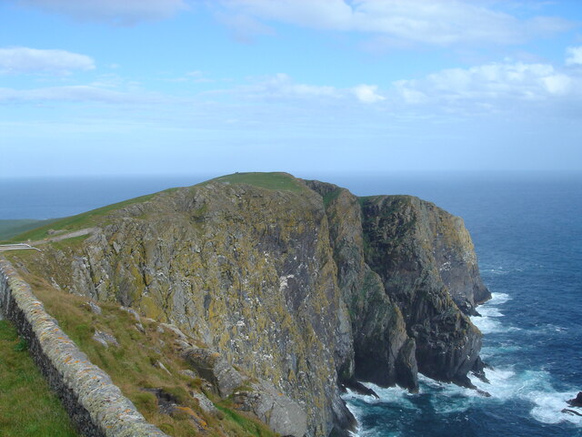
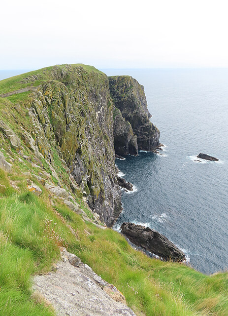
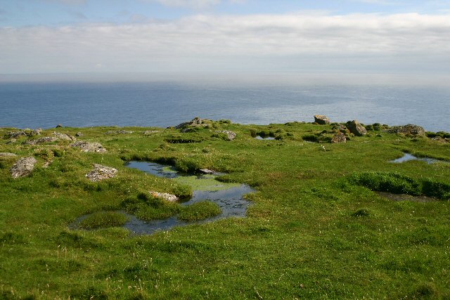
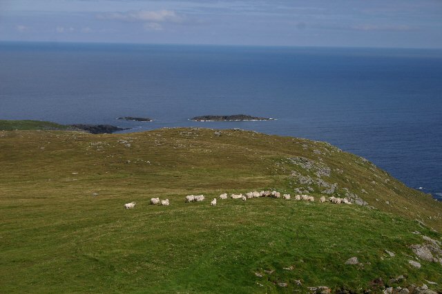
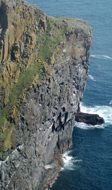
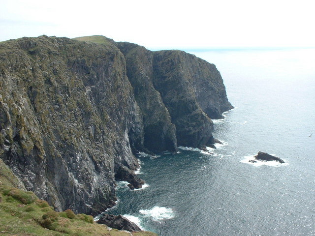
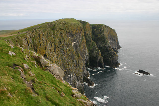
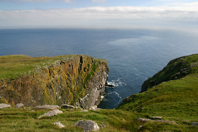
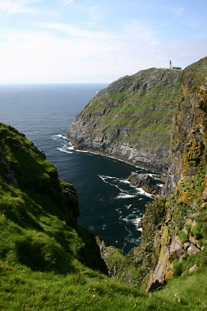
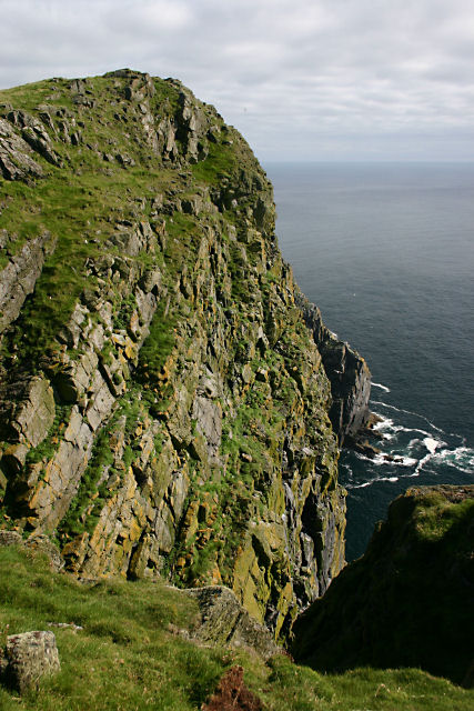
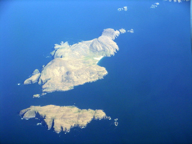
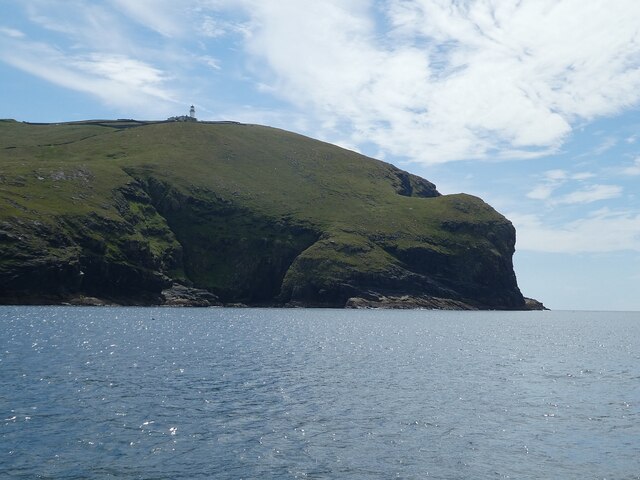
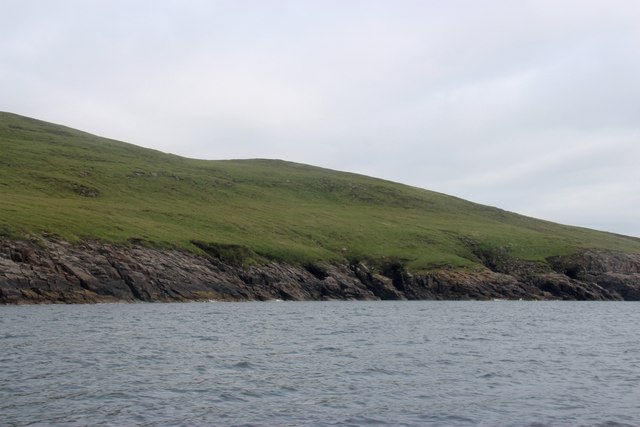
Maclean's Point is a prominent coastal feature located in Inverness-shire, Scotland. This headland juts out into the Atlantic Ocean, offering stunning panoramic views of the surrounding landscape. Situated on the western coast of the Scottish Highlands, Maclean's Point is renowned for its rugged beauty and dramatic cliffs.
The point is named after the Maclean clan, who were historically associated with the region. It is believed that the Macleans used this headland as a lookout point to monitor the waters for potential threats or opportunities. Today, Maclean's Point has become a popular tourist destination, attracting nature enthusiasts, hikers, and photographers.
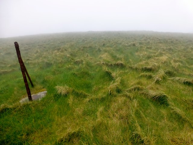
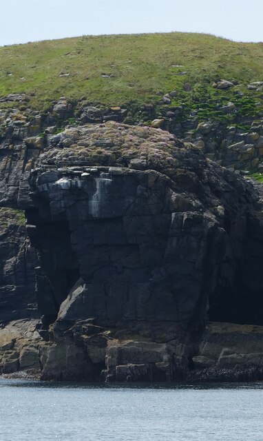
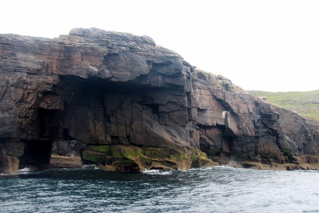
The headland is characterized by its steep cliffs, which reach heights of over 100 meters in some areas. These cliffs are composed of ancient rock formations, showcasing the geological history of the region. The crashing waves of the Atlantic Ocean against the base of the cliffs create a mesmerizing spectacle that captivates visitors.
The area surrounding Maclean's Point is rich in flora and fauna, with various species of seabirds nesting along the cliffs. The headland is also home to a diverse range of marine life, including seals, dolphins, and occasionally whales. Birdwatchers flock to this location to catch glimpses of puffins, guillemots, and razorbills.
Access to Maclean's Point is relatively easy, with well-maintained hiking trails leading to the headland. The trails wind through heathland and offer breathtaking vistas of the surrounding countryside. Visitors can also explore nearby coastal villages, such as Mallaig and Arisaig, which provide amenities like accommodations, restaurants, and shops.
In summary, Maclean's Point is a captivating headland in Inverness-shire, Scotland, offering stunning views, diverse wildlife, and a glimpse into the region's rich history.
If you have any feedback on the listing, please let us know in the comments section below.
Maclean's Point Images
Images are sourced within 2km of 56.787713/-7.6236835 or Grid Reference NL5680. Thanks to Geograph Open Source API. All images are credited.
Maclean's Point is located at Grid Ref: NL5680 (Lat: 56.787713, Lng: -7.6236835)
Unitary Authority: Na h-Eileanan an Iar
Police Authority: Highlands and Islands
What 3 Words
///windmills.vowed.delays. Near CastleBay, Na h-Eileanan Siar
Nearby Locations
Related Wikis

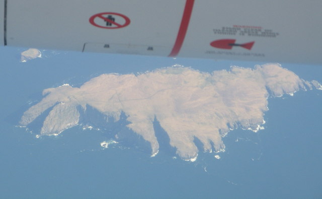
Barra Head
Barra Head, also known as Berneray (Scottish Gaelic: Beàrnaraigh; Scots: Barra Heid), is the southernmost island of the Outer Hebrides in Scotland. Within...

Barra Head Lighthouse
Barra Head Lighthouse on Barra Head identifies the southern entrance to The Minch, roughly halfway between the Eilean Glas and Rinns of Islay lighthouses...

Barra Isles
The Barra Isles, also known as the Bishop's Isles, are a small archipelago in the Outer Hebrides of Scotland. They lie south of the island of Barra, for...

Mingulay
Mingulay (Scottish Gaelic: Miughalaigh) is the second largest of the Bishop's Isles in the Outer Hebrides of Scotland. Located 12 nautical miles (22 kilometres...
Nearby Amenities
Located within 500m of 56.787713,-7.6236835Have you been to Maclean's Point?
Leave your review of Maclean's Point below (or comments, questions and feedback).