Baydon
Settlement in Wiltshire
England
Baydon
Baydon is a picturesque village located in the county of Wiltshire, England. Situated on the northern edge of the Marlborough Downs, it lies about 6 miles southeast of the market town of Marlborough and approximately 15 miles southwest of the historic city of Swindon.
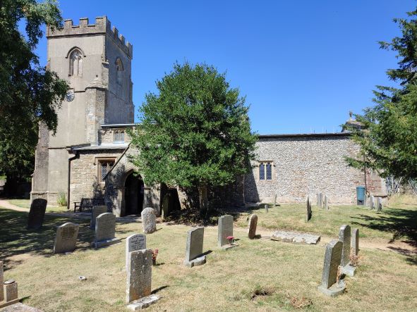
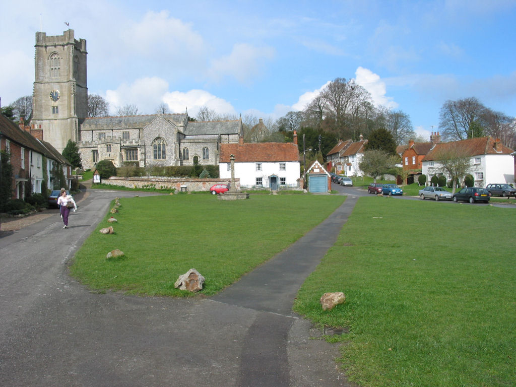
The village is known for its idyllic setting, surrounded by rolling countryside and stunning landscapes. It is characterized by charming thatched cottages, historic buildings, and a quaint village green. The local parish church, St. Nicholas, is a notable architectural landmark, dating back to the 12th century and featuring a beautiful spire.
Despite its small size, Baydon boasts a strong sense of community spirit and offers a range of amenities for its residents. These include a village shop, a post office, a primary school, a pub, and a recreational ground. The village shop serves as a hub for locals, providing essential groceries and acting as a meeting point for social gatherings.
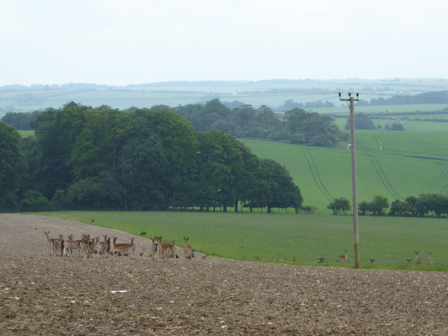
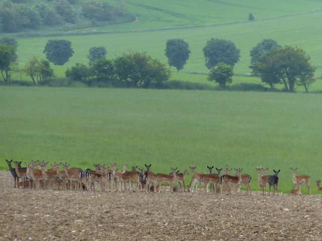
The surrounding area offers plenty of opportunities for outdoor activities, with numerous footpaths and bridleways crisscrossing the countryside, making it ideal for walking, cycling, and horse riding enthusiasts. The nearby Savernake Forest and the Ridgeway National Trail also provide stunning natural attractions for visitors to explore.
With its tranquil atmosphere, beautiful surroundings, and strong community spirit, Baydon offers a peaceful and welcoming place to reside or visit for those seeking a quintessential English village experience.
If you have any feedback on the listing, please let us know in the comments section below.
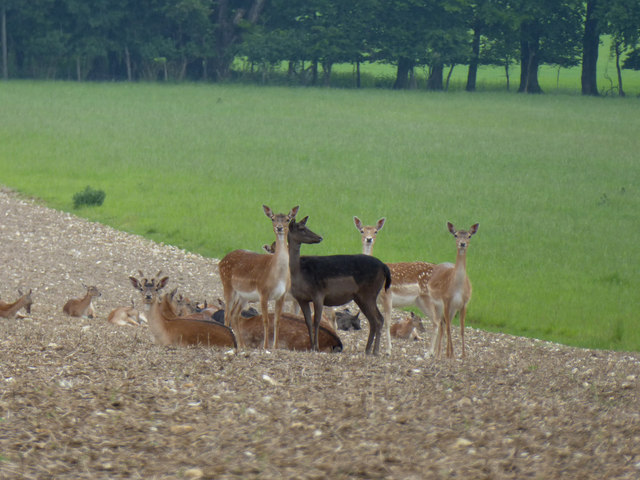
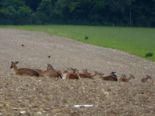
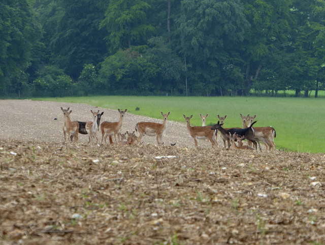
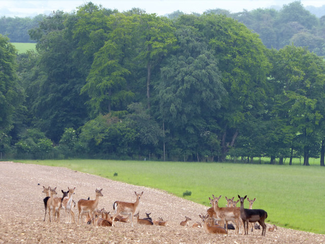
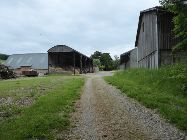
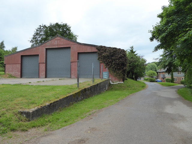
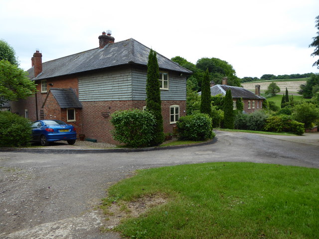
Baydon Images
Images are sourced within 2km of 51.499811/-1.59509 or Grid Reference SU2877. Thanks to Geograph Open Source API. All images are credited.


Baydon is located at Grid Ref: SU2877 (Lat: 51.499811, Lng: -1.59509)
Unitary Authority: Wiltshire
Police Authority: Wiltshire
What 3 Words
///screaming.ruffle.nipping. Near Aldbourne, Wiltshire
Related Wikis

Baydon
Baydon is a village and civil parish in Wiltshire, England about 10 miles (16 km) south-east of Swindon. The eastern boundary of the parish forms part...

Fognam Chalk Quarry
Fognam Chalk Quarry is a 3-hectare (7.4-acre) geological Site of Special Scientific Interest west of Upper Lambourn in Berkshire. It is a Geological Conservation...
Aldbourne
Aldbourne ( AWLD-born) is a village and civil parish about 6 miles (10 km) north-east of Marlborough, Wiltshire, England, in a valley on the south slope...
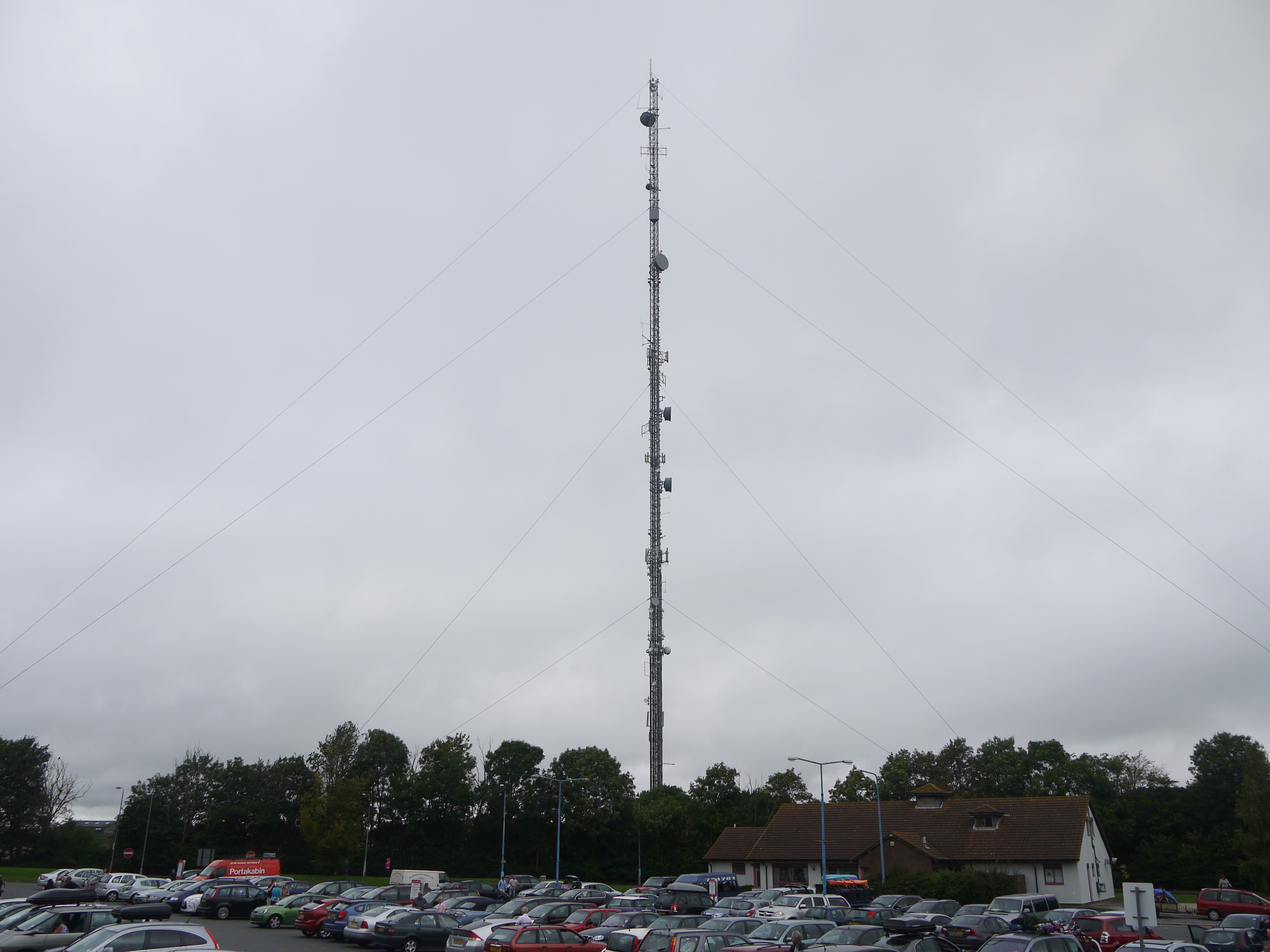
Membury transmitting station
The Membury transmitting station is a broadcasting and telecommunications facility, situated adjacent to the M4 motorway at the Membury services in the...
Nearby Amenities
Located within 500m of 51.499811,-1.59509Have you been to Baydon?
Leave your review of Baydon below (or comments, questions and feedback).