Baydon
Civil Parish in Wiltshire
England
Baydon
Baydon is a small civil parish located in the county of Wiltshire, England. Situated approximately 5 miles east of Marlborough and 10 miles southwest of Swindon, Baydon is nestled in the picturesque countryside of the North Wessex Downs Area of Outstanding Natural Beauty.
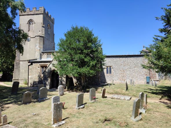
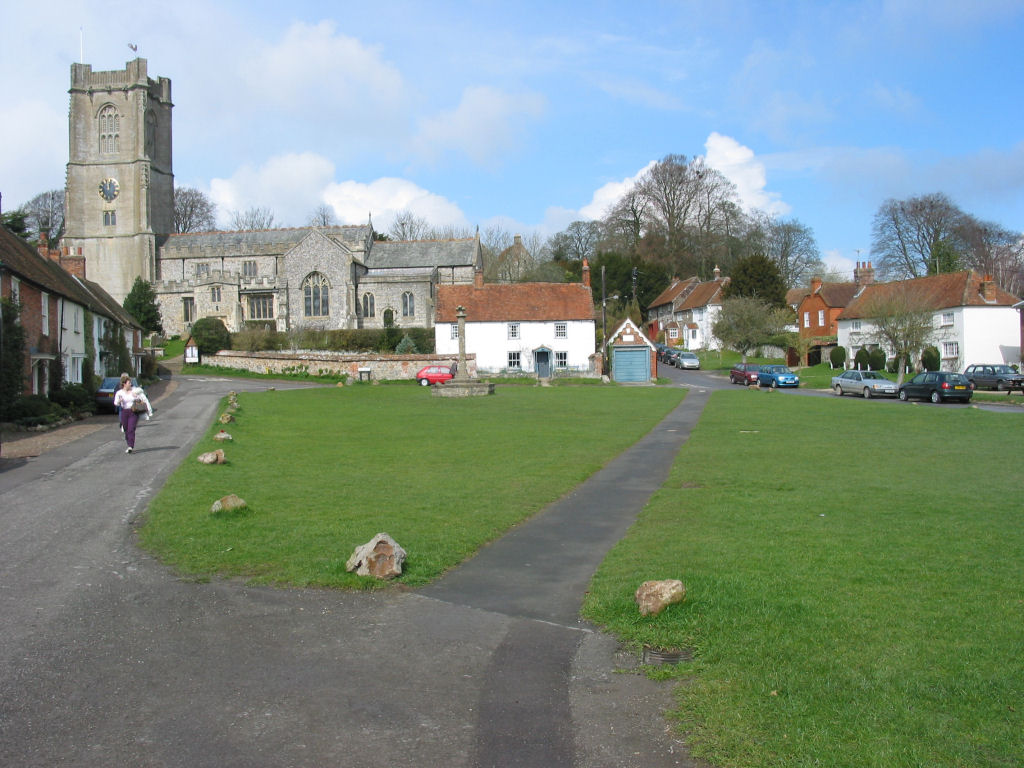
The village itself is known for its charming rural character, with a population of around 500 residents. It boasts a traditional English village atmosphere, complete with thatched cottages, a historic church, and a local pub. The St. Nicholas Church, dating back to the 13th century, is a prominent landmark in the area, offering a glimpse into the rich history of the village.
The community in Baydon is active and close-knit, organizing various events and activities throughout the year. The Baydon Village Show, held annually, showcases the local talent in gardening, baking, and crafts. The village also has a primary school, serving the educational needs of the local children.
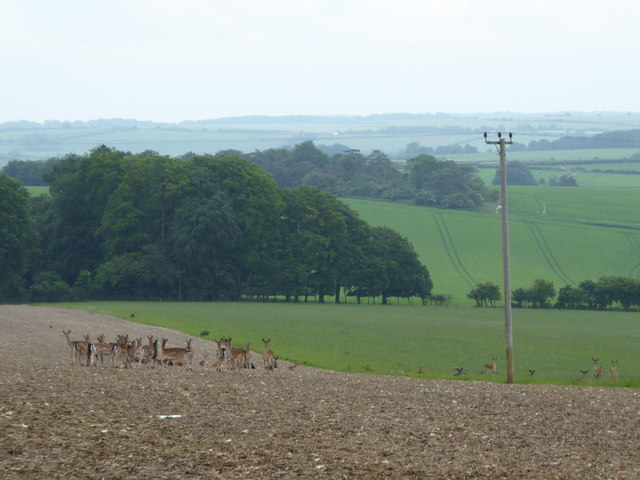
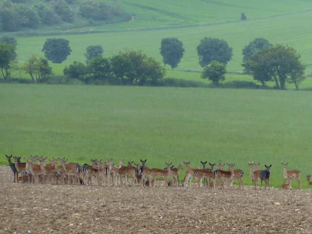
Surrounded by rolling hills and expansive fields, Baydon is an ideal location for outdoor enthusiasts. The area offers ample opportunities for walking, cycling, and horse riding, with numerous footpaths and bridleways crisscrossing the countryside. Nearby attractions include the Avebury Stone Circle, Silbury Hill, and the ancient White Horse of Uffington.
Overall, Baydon presents a tranquil and idyllic setting for those seeking a peaceful rural lifestyle, while still being within easy reach of larger towns and cities.
If you have any feedback on the listing, please let us know in the comments section below.
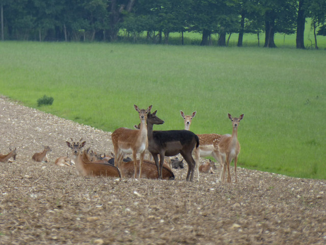
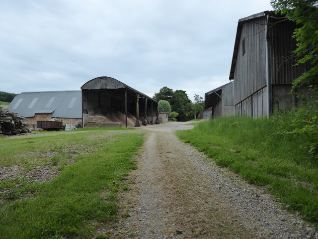
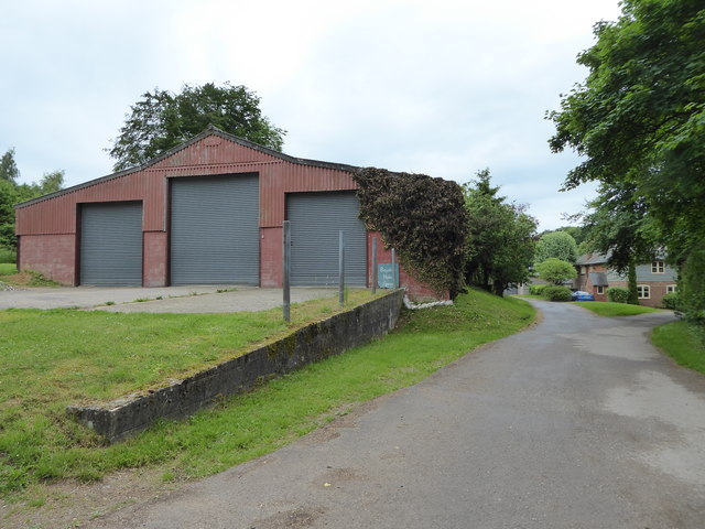
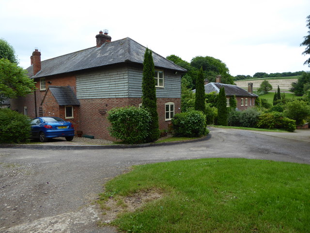
Baydon Images
Images are sourced within 2km of 51.498598/-1.597997 or Grid Reference SU2877. Thanks to Geograph Open Source API. All images are credited.


Baydon is located at Grid Ref: SU2877 (Lat: 51.498598, Lng: -1.597997)
Unitary Authority: Wiltshire
Police Authority: Wiltshire
What 3 Words
///shredder.civic.galloped. Near Aldbourne, Wiltshire
Related Wikis

Baydon
Baydon is a village and civil parish in Wiltshire, England about 10 miles (16 km) south-east of Swindon. The eastern boundary of the parish forms part...

Fognam Chalk Quarry
Fognam Chalk Quarry is a 3-hectare (7.4-acre) geological Site of Special Scientific Interest west of Upper Lambourn in Berkshire. It is a Geological Conservation...
Aldbourne
Aldbourne ( AWLD-born) is a village and civil parish about 6 miles (10 km) north-east of Marlborough, Wiltshire, England, in a valley on the south slope...
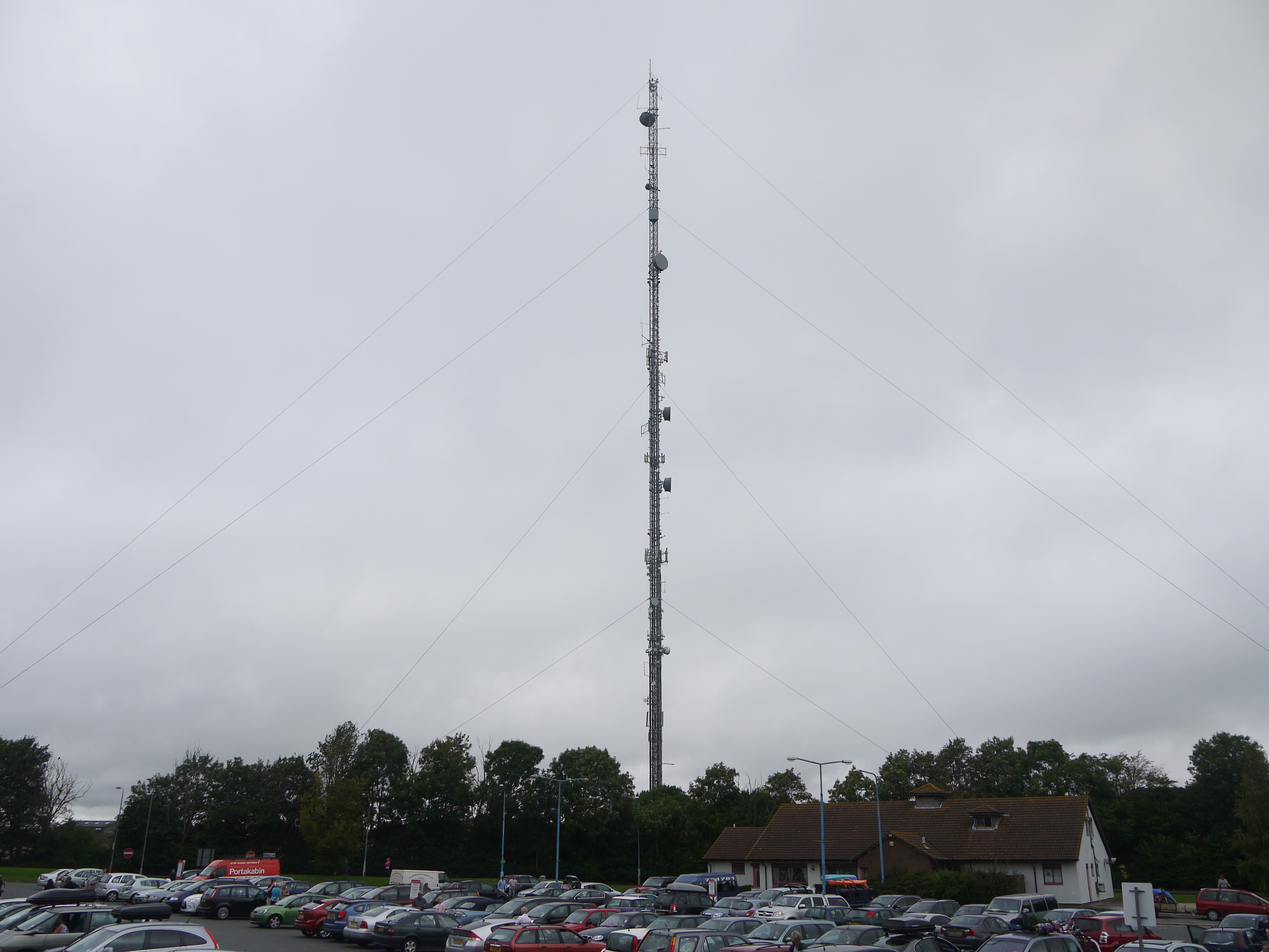
Membury transmitting station
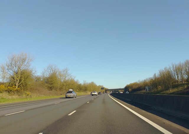
The Membury transmitting station is a broadcasting and telecommunications facility, situated adjacent to the M4 motorway at the Membury services in the...

Membury Camp
Membury Camp, or Membury Fort, is the site of an Iron Age hill fort located on the borders of Wiltshire and Berkshire, (the county line divides the site...
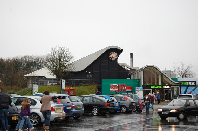
Membury services
Membury services is a motorway service station on the M4 motorway, located on the original site of RAF Membury in the civil parish of Lambourn in the English...

Ashdown Park
Ashdown Park is a 9.3-hectare (23-acre) biological Site of Special Scientific Interest (SSSI) south of Ashbury in Oxfordshire. The SSSI is part of the...

Ashdown House, Oxfordshire
Ashdown House (also known as Ashdown Park) is a 17th-century country house in the civil parish of Ashbury in the English county of Oxfordshire. Until 1974...
Nearby Amenities
Located within 500m of 51.498598,-1.597997Have you been to Baydon?
Leave your review of Baydon below (or comments, questions and feedback).