Baycliff
Settlement in Lancashire South Lakeland
England
Baycliff
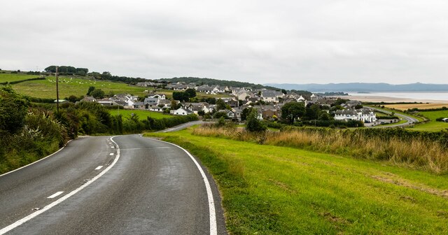
Baycliff is a small village located in the county of Lancashire, in the northwest of England. Situated on the southern shores of Morecambe Bay, it is part of the Borough of Barrow-in-Furness. The village is nestled amidst scenic countryside, offering stunning views of the bay and the surrounding hills.
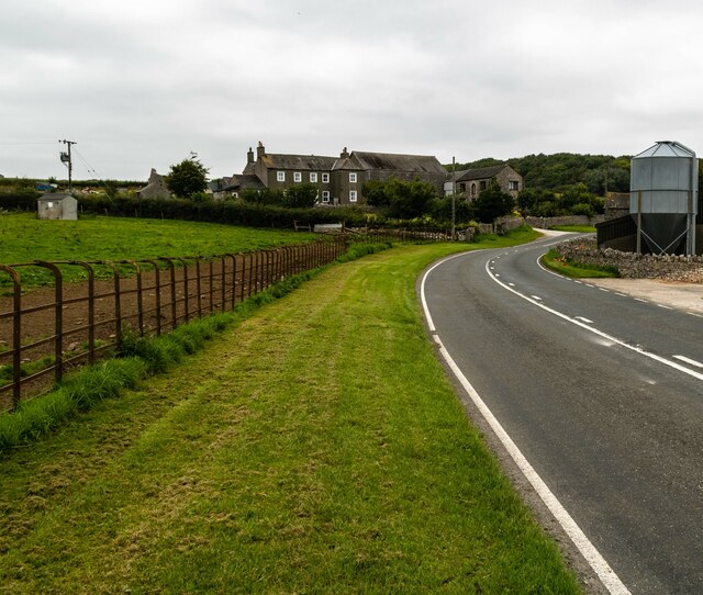
With a population of around 300 residents, Baycliff is a tight-knit community that prides itself on its tranquility and natural beauty. The village is mainly residential, with a small number of local amenities including a village hall and a pub. Its peaceful atmosphere and picturesque setting make it a popular destination for those seeking a peaceful retreat away from the hustle and bustle of larger towns and cities.
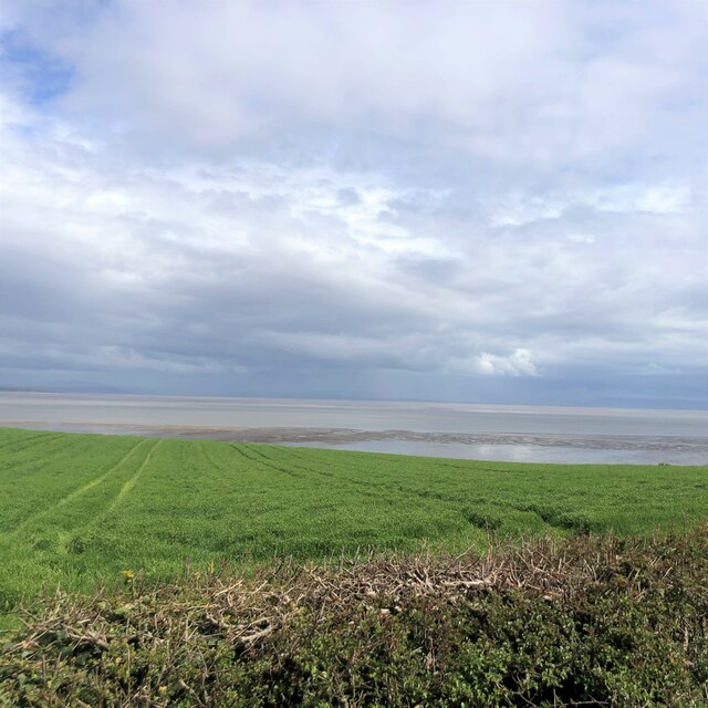
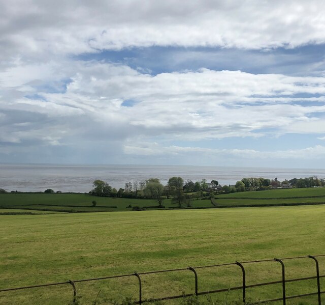
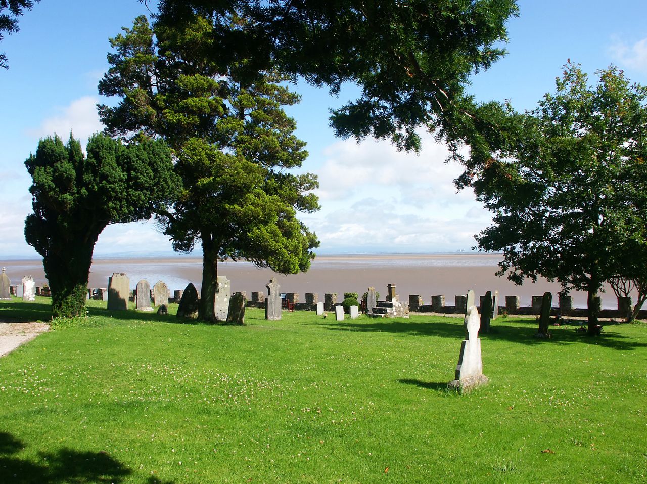
One of the main attractions in Baycliff is the proximity to the stunning Morecambe Bay. The bay is known for its vast stretches of sandy beaches, making it a haven for nature lovers and outdoor enthusiasts. Visitors can enjoy leisurely walks along the coast, take in the breathtaking views, and even indulge in birdwatching as the bay is a well-known habitat for various bird species.
Baycliff is also conveniently located near the Lake District National Park, which offers endless opportunities for outdoor activities such as hiking, boating, and cycling. The village acts as a gateway to this popular tourist destination, attracting visitors who wish to explore the stunning landscapes and charming towns of the region.
Overall, Baycliff is a serene and idyllic village that offers a peaceful escape for both locals and tourists, with its beautiful surroundings and close proximity to the natural wonders of Morecambe Bay and the Lake District.
If you have any feedback on the listing, please let us know in the comments section below.
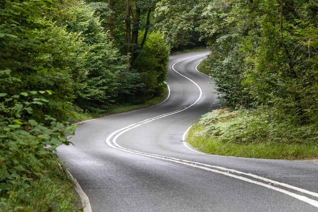
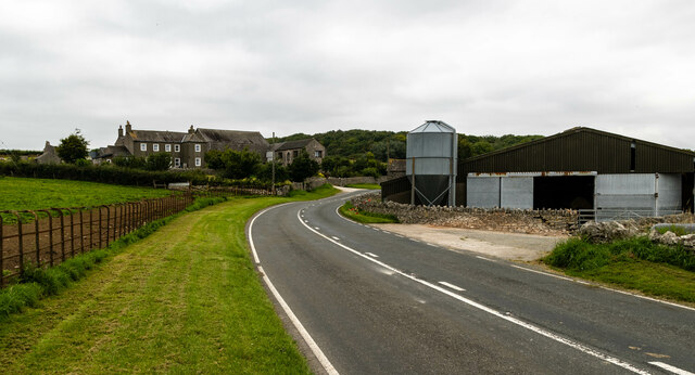
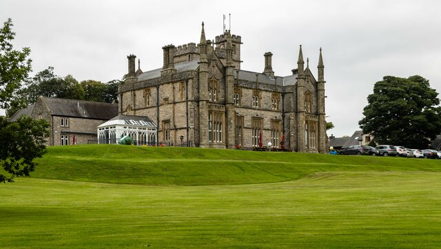
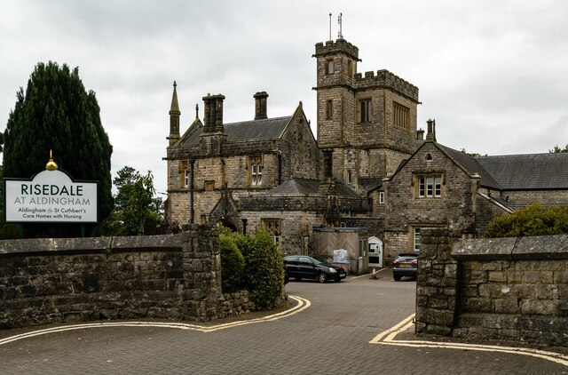
Baycliff Images
Images are sourced within 2km of 54.142928/-3.092212 or Grid Reference SD2872. Thanks to Geograph Open Source API. All images are credited.


Baycliff is located at Grid Ref: SD2872 (Lat: 54.142928, Lng: -3.092212)
Administrative County: Cumbria
District: South Lakeland
Police Authority: Cumbria
What 3 Words
///sprays.polices.triathlon. Near Swarthmoor, Cumbria
Nearby Locations
Related Wikis

Baycliff
Baycliff is a seaside village in the South Lakeland District of Cumbria in England. Historically in Lancashire, it lies 3 miles (4.8 km) south of Ulverston...
Aldingham
Aldingham is a village and civil parish in the South Lakeland district of Cumbria, England. Historically in Lancashire, it is situated on the east coast...

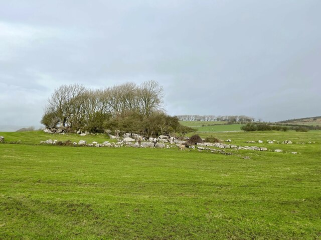
Birkrigg stone circle
The Birkrigg stone circle (also known as the Druid's Temple or Druids' Circle) is a Bronze Age stone circle on Birkrigg Common, two miles south of Ulverston...

Scales, Aldingham
Scales is a small village in Westmorland and Furness, Cumbria, England. The town of Ulverston is around 3.5 miles south of the village. The name Scales...

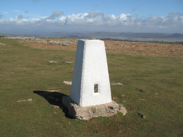
Birkrigg
Birkrigg or Birkrigg Common is an open-area of limestone countryside near the town of Ulverston on the Furness Peninsula in southern Cumbria, England....
Urswick Grammar School
Urswick Grammar School was located in Little Urswick, Cumbria, England. The school was founded in 1585 as the result of a royal charter granted by Queen...
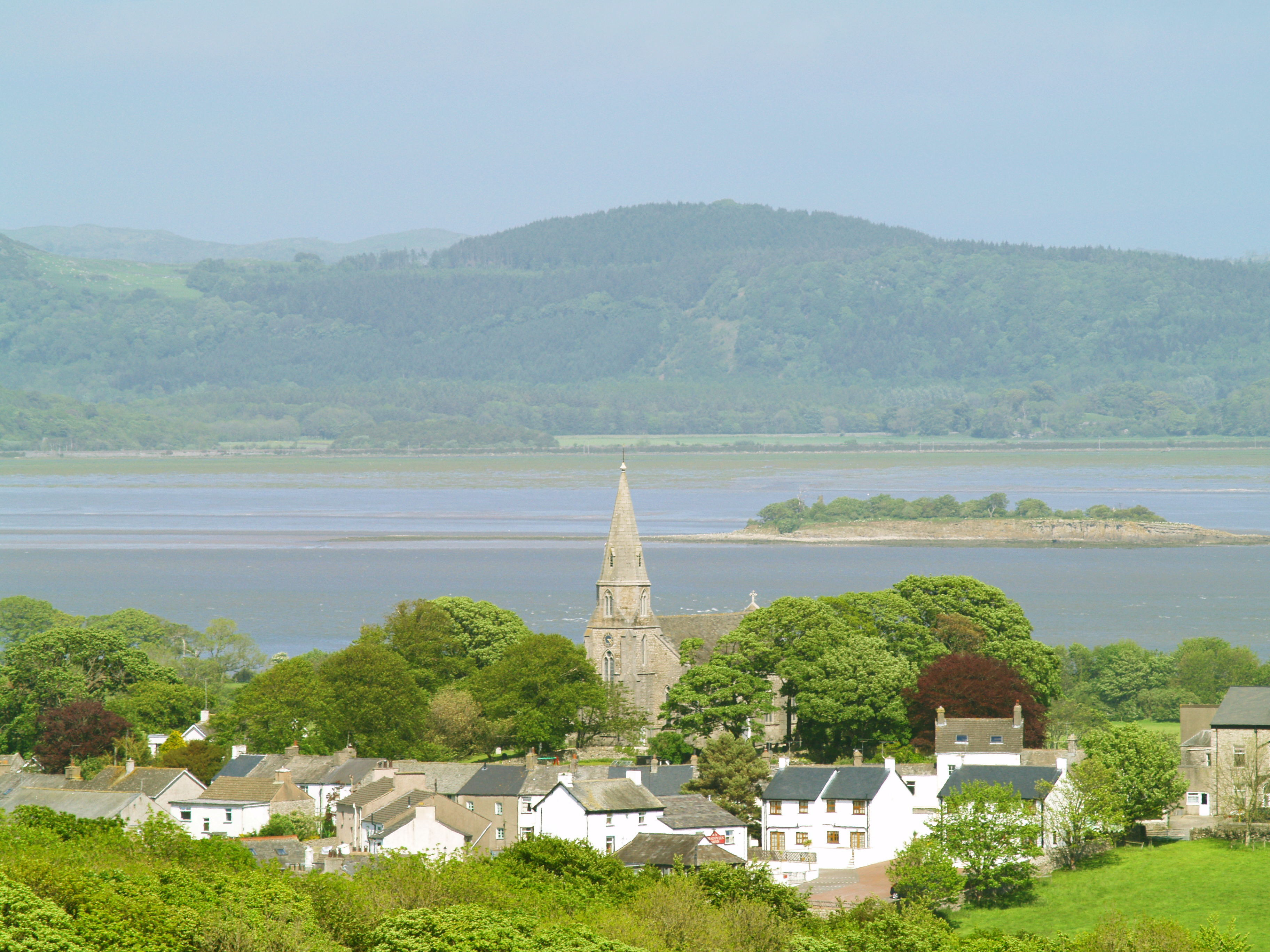
Bardsea
Bardsea is a village in the Low Furness area of Cumbria, England. It is two miles to the south-east of Ulverston on the northern coast of Morecambe Bay...

Urswick
Urswick is a civil parish that includes the villages of Great Urswick and Little Urswick. It is located in the Furness area of Cumbria, England. The villages...
Related Videos

Tiger stripes visits Birkrigg
Tiger stripe Visits Birkrigg ..#Ulverston #cumbria #dogwalking.
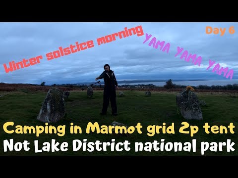
Winter Solstice Morning Lake District Marmot Tent camp Birkrigg stone circle scandale pass
Day 6 Birkrigg stone circle on Birkrigg Common where i wild camped last night. This is the Winter Solstice Morning. Few local ...
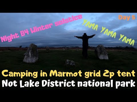
Winter Solstice night Lake District Marmot Tent camp Coast to Coast Birkrigg stone circle
Day 5 Tonguegill Force which is where i wild camped the night wet weather no wind last night. In the morning i walked back down ...

Christmas Holiday Knitting and Crochet Patterns Knitting Across The Pennines Ep 106
Christmas Holiday Knitting and Crochet Patterns Knitting Across The Pennines Ep 106. Emma is knitting a Marian Cardigan for ...
Nearby Amenities
Located within 500m of 54.142928,-3.092212Have you been to Baycliff?
Leave your review of Baycliff below (or comments, questions and feedback).