Baybridge
Settlement in Hampshire Winchester
England
Baybridge
Baybridge is a small town located in Hampshire, England. Situated on the southern coast of the country, it is known for its picturesque beauty and charming atmosphere. The town is nestled between rolling hills and the sparkling waters of the Solent, providing residents and visitors with breathtaking views.
Baybridge has a rich history dating back centuries, with evidence of human settlement in the area as far back as the Roman era. Throughout the years, it has served as a fishing village, a trading hub, and a popular tourist destination.
Today, Baybridge is a thriving community with a population of around 10,000 people. The town boasts a range of amenities, including shops, restaurants, and pubs, providing residents with everything they need for day-to-day living. The local economy is primarily driven by tourism, with visitors flocking to Baybridge to enjoy its sandy beaches, scenic walks, and vibrant seaside promenade.
One of the town's main attractions is Baybridge Castle, a medieval fortress that stands proudly on a hill overlooking the town. This historic landmark offers guided tours and hosts various events throughout the year, attracting history enthusiasts from near and far.
In addition to its natural beauty and historical sites, Baybridge is also a popular destination for water sports enthusiasts. The town's proximity to the Solent makes it an ideal location for sailing, windsurfing, and kayaking.
Overall, Baybridge is a charming coastal town that offers a mix of history, natural beauty, and recreational opportunities. It is a place where visitors can relax, explore, and immerse themselves in the rich heritage of Hampshire.
If you have any feedback on the listing, please let us know in the comments section below.
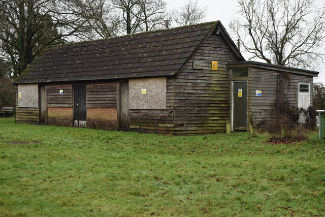
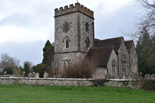
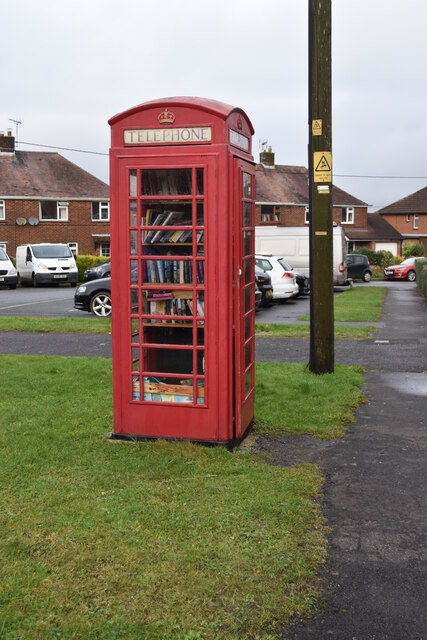
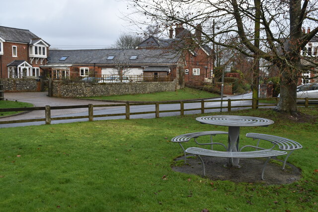
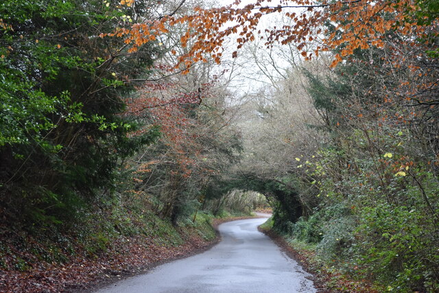
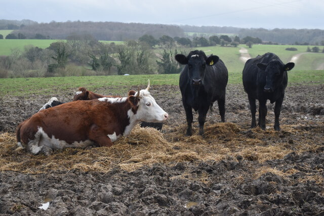
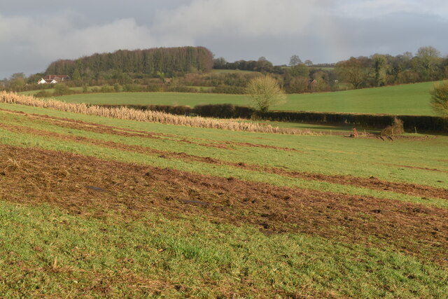
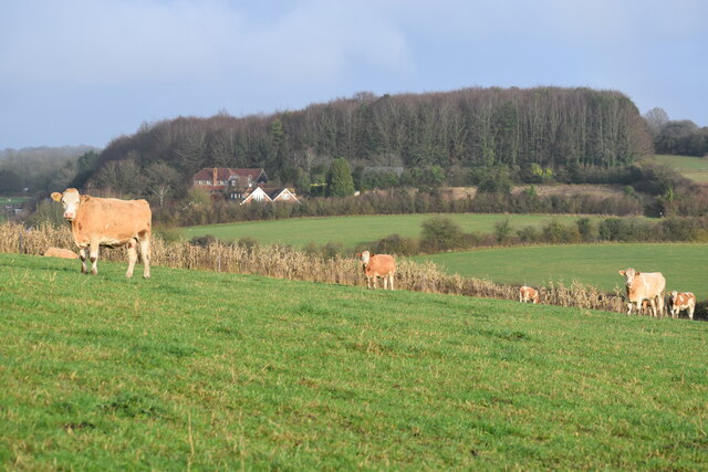
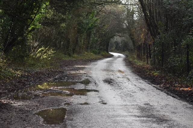
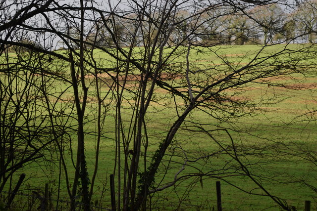
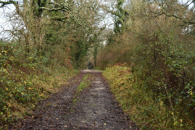
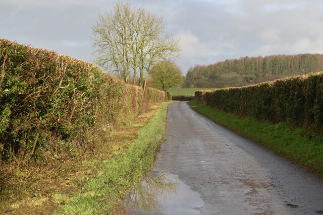
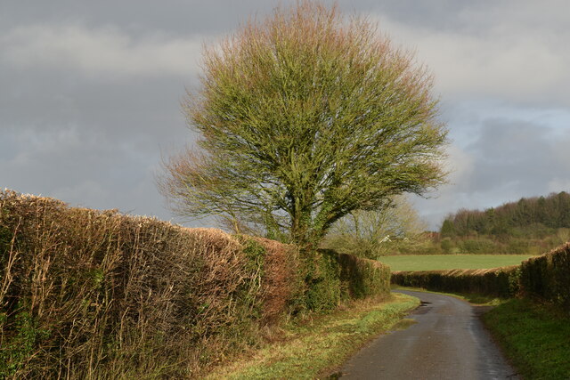
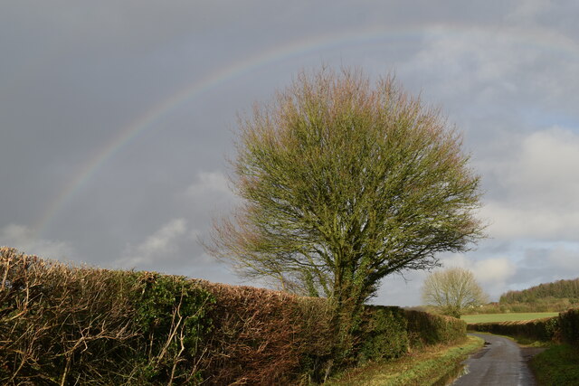
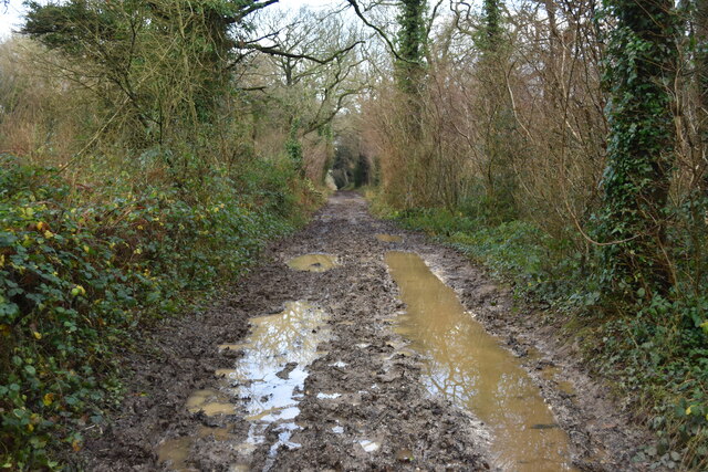
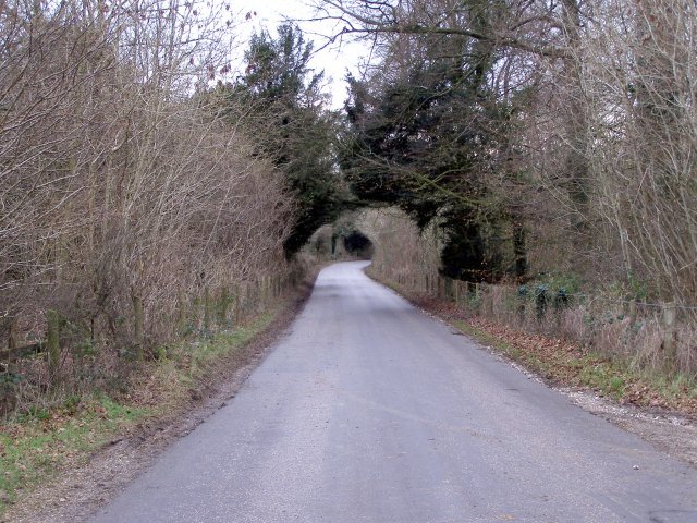
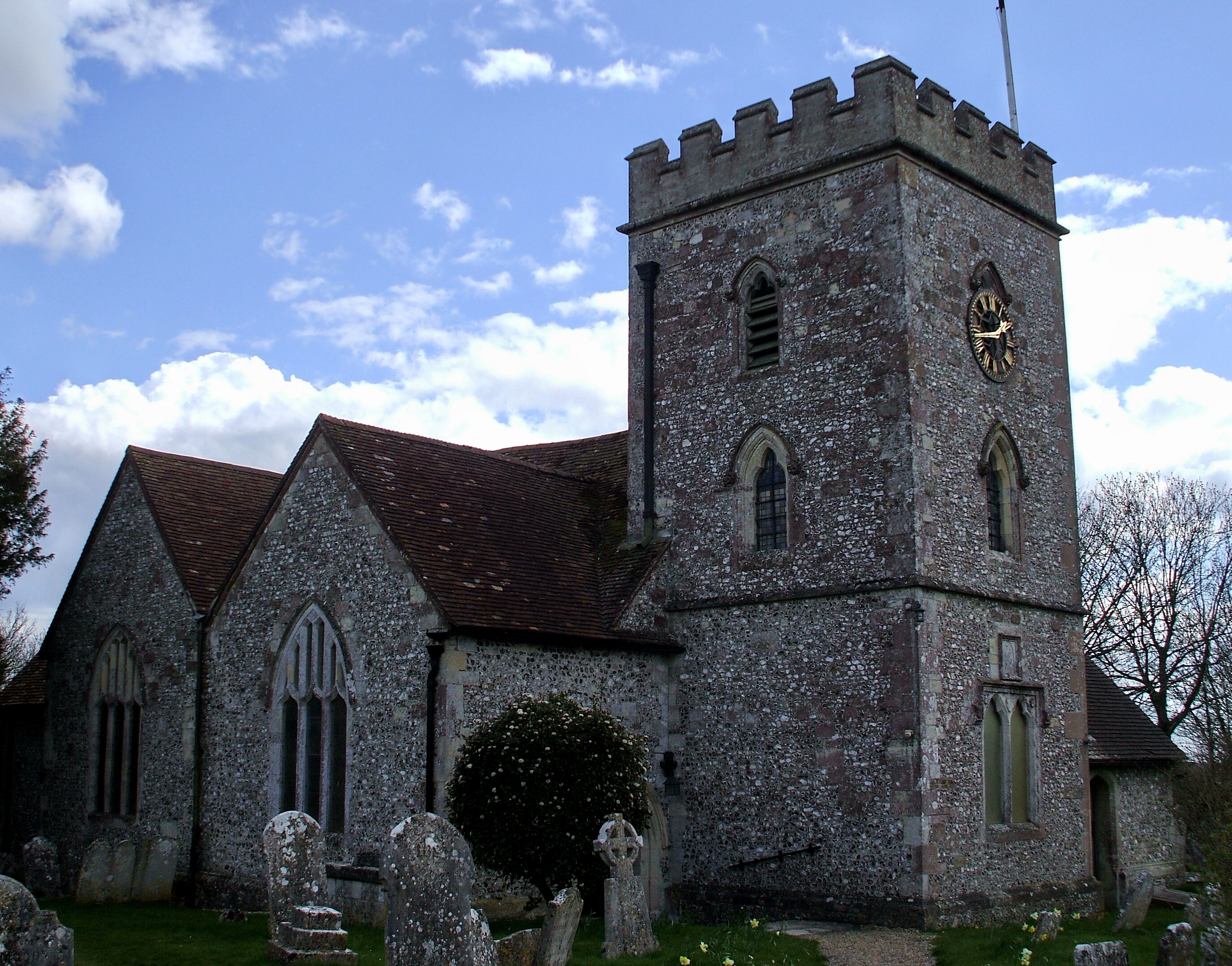
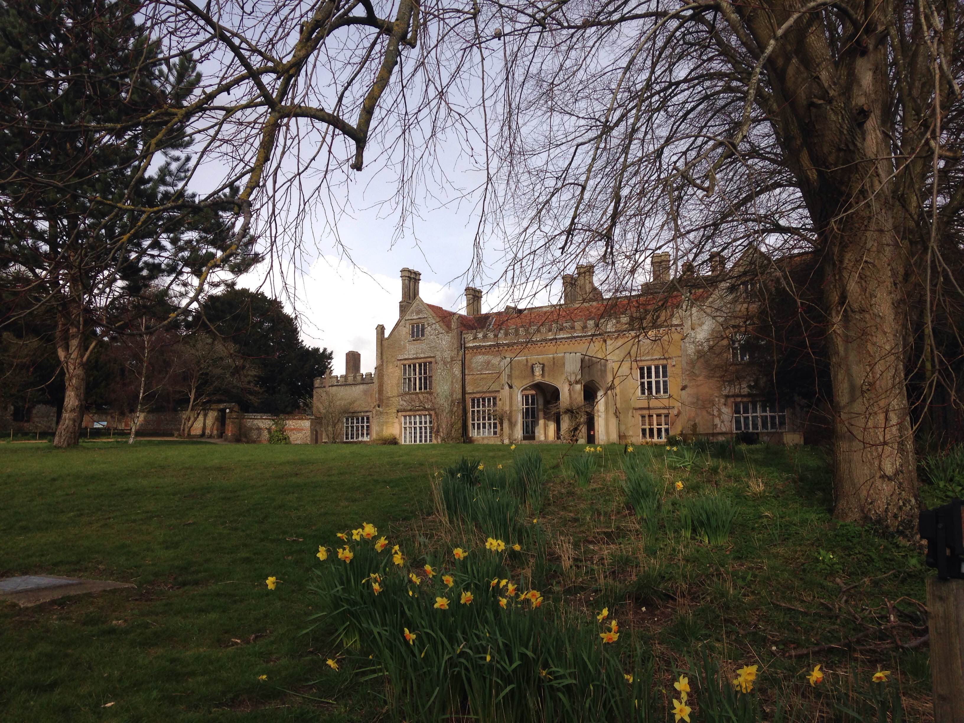
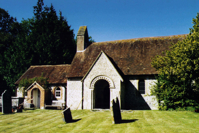
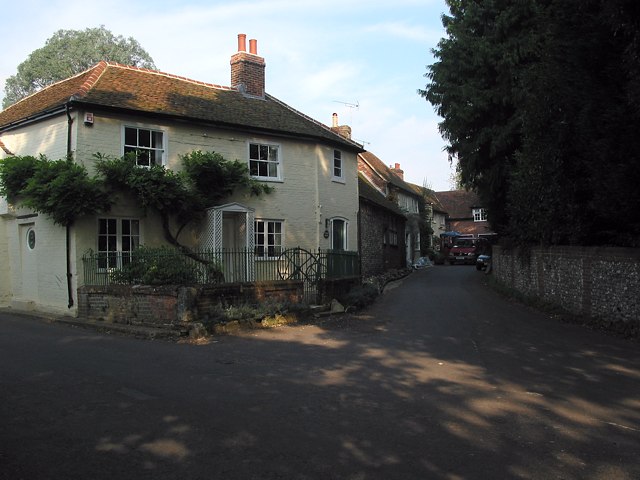
Baybridge Images
Images are sourced within 2km of 51.00615/-1.247409 or Grid Reference SU5223. Thanks to Geograph Open Source API. All images are credited.


Baybridge is located at Grid Ref: SU5223 (Lat: 51.00615, Lng: -1.247409)
Administrative County: Hampshire
District: Winchester
Police Authority: Hampshire
What 3 Words
///pedicure.commoners.verges. Near Colden Common, Hampshire
Nearby Locations
Related Wikis
Baybridge, Hampshire
Baybridge is a small village in Hampshire, in England. It is situated to the east of Owslebury, south of Winchester. == References == == External links... ==
Owslebury
Owslebury is a village and civil parish in the county of Hampshire, in the south of England approximately 5 miles (8.0 km) southeast of Winchester. It...

Owslebury Bottom
Owslebury Bottom is a hamlet in the civil parish of Owslebury in the City of Winchester district of Hampshire, England. Its nearest town is Winchester...
Marwell Zoo
Marwell Zoo is a 140-acre (57 ha) zoo situated in Colden Common near Winchester, in the English county of Hampshire. It is owned and run by the registered...

Marwell College
Marwell College was a college of secular priests in Marwell Park, Owslebury, Hampshire, England. Marwell was sometimes spelled Merwell or Merewell. The...
Morestead
Morestead is a village and former civil parish, now in the parish of Owslebury, in the Winchester district, in Hampshire, England. It is in the South Downs...
Upham, Hampshire
Upham is a small village and civil parish in the south of England located in Hampshire approximately 7 miles south-east of Winchester . == The village... ==

Lower Upham
Lower Upham is a small village in Hampshire, England, situated north-west of Bishop's Waltham on the B2177. == Governance == The village is part of the...
Nearby Amenities
Located within 500m of 51.00615,-1.247409Have you been to Baybridge?
Leave your review of Baybridge below (or comments, questions and feedback).