Bayford

Settlement in Somerset South Somerset

England

Bayford

Charlton Musgrove : Rectory Lane Looking along a country lane.
Charlton Musgrove : Rectory Lane Credit: Lewis Clarke

Bayford is a charming village located in the county of Somerset, England. Situated approximately 10 miles south of the county town of Taunton, Bayford is nestled within the picturesque countryside of the Blackdown Hills Area of Outstanding Natural Beauty.

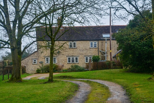
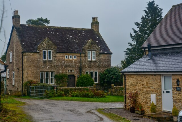
The village is small in size, with a population of around 200 residents. It has a rich history that dates back centuries, and many of the buildings in Bayford showcase the traditional architectural style of the region. The village is known for its quaint thatched cottages, stone houses, and well-maintained gardens.

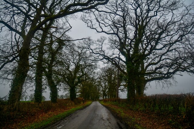
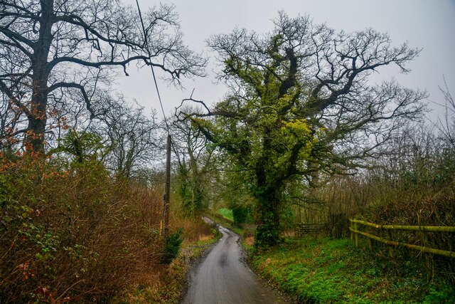
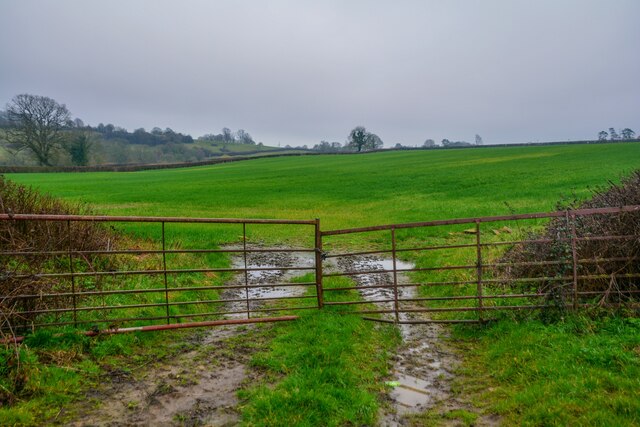
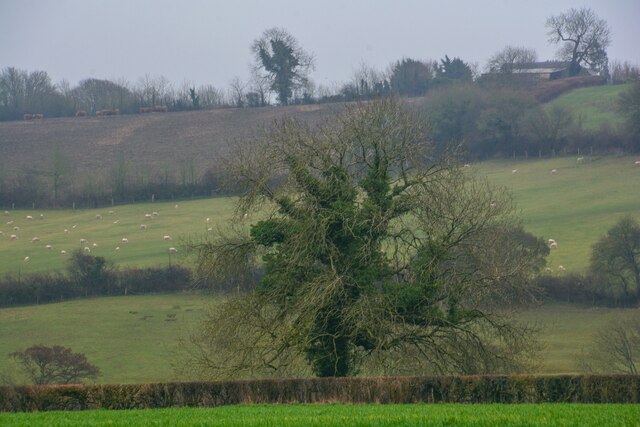
Bayford is surrounded by stunning natural landscapes, offering residents and visitors ample opportunities for outdoor activities. The nearby Blackdown Hills provide ample hiking trails, with breathtaking views of the rolling hills and lush greenery.

Although Bayford is a small village, it boasts a strong sense of community. The village has a local pub, The Blackdown Inn, which serves as a gathering place for residents and visitors alike. Additionally, Bayford hosts various community events throughout the year, including summer fairs and Christmas markets, fostering a warm and welcoming atmosphere.

The village is well-connected to neighboring towns and cities. The A303 road is easily accessible, providing convenient transportation links to Taunton and other nearby areas. Despite its peaceful and rural setting, Bayford offers easy access to amenities and services.

In conclusion, Bayford is a delightful village in Somerset, characterized by its picturesque setting, traditional architecture, and strong community spirit. It is an idyllic place for those seeking a peaceful and scenic escape.

If you have any feedback on the listing, please let us know in the comments section below.

Bayford Images

Images are sourced within 2km of 51.060428/-2.393097 or Grid Reference ST7229. Thanks to Geograph Open Source API. All images are credited.

Charlton Musgrove : Rectory Lane Looking along a country lane.
Charlton Musgrove : Rectory Lane
Looking along a country lane.
Charlton Musgrove : Rectory Lane Looking along Rectory Lane.
Charlton Musgrove : Rectory Lane
Looking along Rectory Lane.
Charlton Musgrove : Gardeners Cottage Looking to a house in the countryside.
Charlton Musgrove : Gardeners Cottage
Looking to a house in the countryside.
Charlton Musgrove : Church Farm Looking towards the house at Church Farm.
Charlton Musgrove : Church Farm
Looking towards the house at Church Farm.
Charlton Musgrove : St Stephen's Church The Anglican Church of St Stephen in Charlton Musgrove was built in the 13th century. It is a Grade II* listed building.
Charlton Musgrove : St Stephen's Church
The Anglican Church of St Stephen in Charlton Musgrove was built in the 13th century. It is a Grade II* listed building.
Charlton Musgrove : Charlton House House. Early C19 possibly on earlier core. Believed to have been designed by a member of the Bastard family of Blandford.
Charlton Musgrove : Charlton House
House. Early C19 possibly on earlier core. Believed to have been designed by a member of the Bastard family of Blandford.
Charlton Musgrove : Grassy Field Looking out across the countryside.
Charlton Musgrove : Grassy Field
Looking out across the countryside.
Charlton Musgrove : Rectory Lane Looking along Rectory Lane.
Charlton Musgrove : Rectory Lane
Looking along Rectory Lane.
Charlton Musgrove : Rectory Lane Looking along Rectory Lane.
Charlton Musgrove : Rectory Lane
Looking along Rectory Lane.
Charlton Musgrove : Field Looking into a field with bales in.
Charlton Musgrove : Field
Looking into a field with bales in.
Charlton Musgrove : Grassy Field Looking across a grassy field beyond the gate.
Charlton Musgrove : Grassy Field
Looking across a grassy field beyond the gate.
Charlton Musgrove : Rectory Lane Looking along Rectory Lane.
Charlton Musgrove : Rectory Lane
Looking along Rectory Lane.
Charlton Musgrove : Rectory Lane Looking along a country lane.
Charlton Musgrove : Rectory Lane
Looking along a country lane.
Charlton Musgrove : Grassy Field A grassy field in the countryside.
Charlton Musgrove : Grassy Field
A grassy field in the countryside.
Charlton Musgrove : Rectory Lane Looking along Rectory Lane.
Charlton Musgrove : Rectory Lane
Looking along Rectory Lane.
Charlton Musgrove : Old Hill B3081 Looking along Old Hill at the junction with Rectory Lane.
Charlton Musgrove : Old Hill B3081
Looking along Old Hill at the junction with Rectory Lane.
Show me another place!

Bayford is located at Grid Ref: ST7229 (Lat: 51.060428, Lng: -2.393097)

Administrative County: Somerset

District: South Somerset

Police Authority: Avon and Somerset

What 3 Words

///disco.vegetable.hovered. Near Wincanton, Somerset

Nearby Locations

Bayford

Related Wikis

Wincanton Skirmish

The Wincanton Skirmish occurred on 20 November 1688 during the Glorious Revolution. A small patrol of the Royal Army led by the Irish officer Patrick Sarsfield...

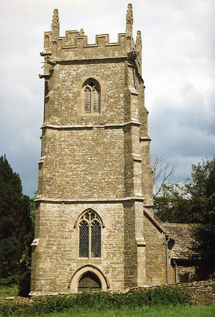
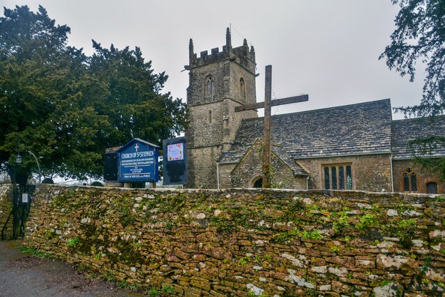
Church of St Stephen, Charlton Musgrove

The Anglican Church of St Stephen in Charlton Musgrove in the English county of Somerset was built in the 13th century. It is a Grade II* listed building...

Stoke Trister

Stoke Trister is a village and civil parish 2 miles (3 km) south-east of Wincanton and 5 miles (8 km) north-west of Gillingham close to the Dorset border...

The Dogs, Wincanton

The Dogs (also known as The Old House) in Wincanton, Somerset, England was built around 1650 and has been designated as a Grade I listed building.The...

Wincanton Rural District

Wincanton was a rural district in Somerset, England, from 1894 to 1974. It was created in 1894 under the Local Government Act 1894. In 1974 it was abolished...
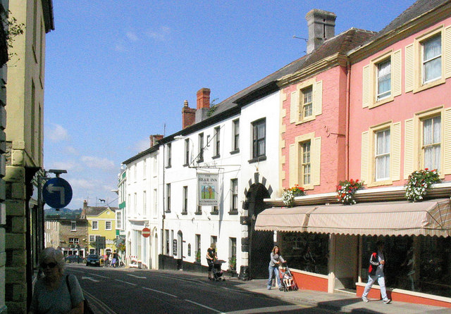
Wincanton

Wincanton ( or ) is a town and electoral ward in South Somerset, southwest England. The town lies off the A303 road, a main route between London and South...

Wincanton Town F.C.

Wincanton Town Football Club is a football club based in Wincanton, Somerset, England. They are currently members of the Western League Division One and...

Church of St Peter and St Paul, Wincanton

The Anglican Church of St Peter and St Paul in Wincanton within the English county of Somerset is a Grade II* listed building. The Church of St Peter and...

Nearby Amenities

Located within 500m of 51.060428,-2.393097
Bayford
Place: village
Lat/Long: 51.0606005/-2.3932831
Material: wood
Power: pole
Lat/Long: 51.0593437/-2.3866472
Power: pole
Lat/Long: 51.0587145/-2.3879033
Power: pole
Lat/Long: 51.0589129/-2.3893538
Power: pole
Lat/Long: 51.0582668/-2.3903979
Power: pole
Lat/Long: 51.057706/-2.3925278
Power: pole
Lat/Long: 51.057324/-2.3939627
Power: pole
Lat/Long: 51.0570206/-2.3951523
Power: pole
Lat/Long: 51.0568353/-2.3957628
Generator Method: photovoltaic
Generator Output Electricity: yes
Generator Source: solar
Generator Type: solar_photovoltaic_panel
Location: roof
Power: generator
Lat/Long: 51.0598081/-2.3920369
Generator Method: photovoltaic
Generator Output Electricity: yes
Generator Source: solar
Generator Type: solar_photovoltaic_panel
Location: roof
Power: generator
Lat/Long: 51.0594608/-2.39234
Generator Method: photovoltaic
Generator Output Electricity: yes
Generator Source: solar
Generator Type: solar_photovoltaic_panel
Location: roof
Power: generator
Lat/Long: 51.0602405/-2.3885326
Pub
The Unicorn Inn
Lat/Long: 51.0609349/-2.391095
The data included in this document is from www.openstreetmap.org. The data is made available under ODbL.

Have you been to Bayford?

Leave your review of Bayford below (or comments, questions and feedback).