Bayford
Settlement in Hertfordshire East Hertfordshire
England
Bayford
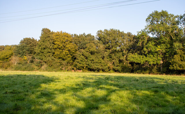
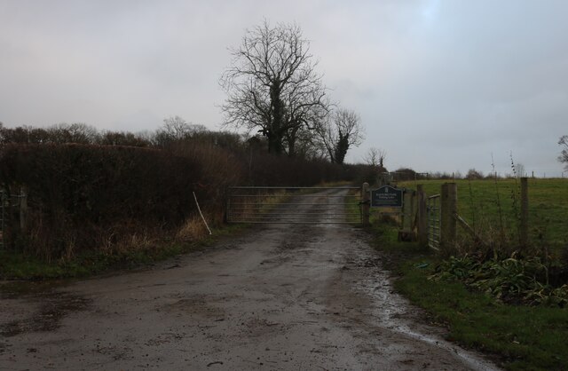
Bayford is a small village located in the county of Hertfordshire, England. Situated approximately 25 miles north of London, it is part of the East Hertfordshire district. The village is surrounded by beautiful countryside and offers a peaceful and picturesque setting for its residents.
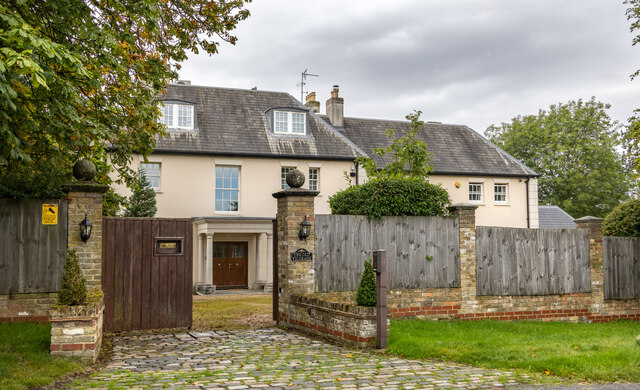
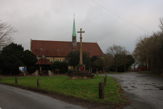
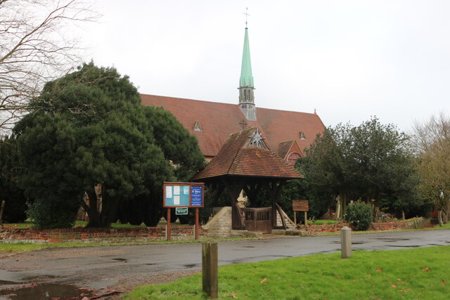
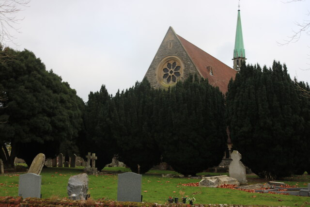
Bayford has a long history, with evidence of settlements in the area dating back to Roman times. The village is known for its charming traditional architecture, with many historic buildings and cottages still standing. One notable landmark is Bayfordbury Observatory, which was founded in 1969 and is owned by the University of Hertfordshire. The observatory provides educational opportunities for students and offers public stargazing events throughout the year.
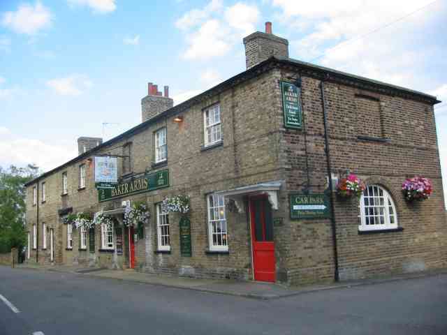
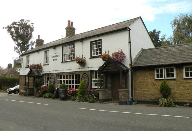
Despite its small size, Bayford has a vibrant community spirit. The village has a local pub, The Baker Arms, which serves as a gathering place for residents and visitors alike. There is also a village hall that hosts various events and activities, including art exhibitions and community meetings.
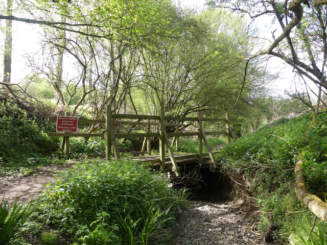
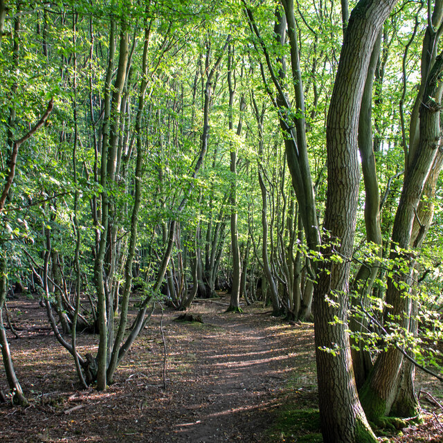
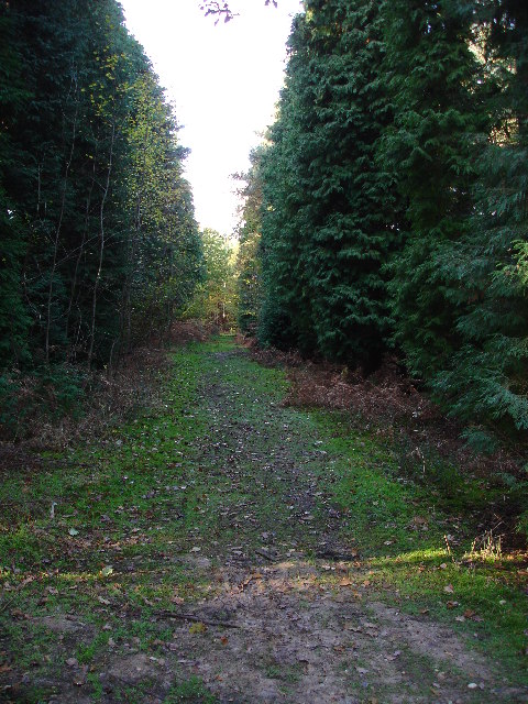
For those who enjoy outdoor activities, Bayford offers plenty of opportunities. The surrounding countryside provides ample space for walking, cycling, and horse riding. The village is also located near the Lee Valley Regional Park, a vast nature reserve that offers a range of recreational activities, such as boating and birdwatching.
Overall, Bayford is a charming village that combines its rich history with a peaceful rural setting. With its close proximity to London and the surrounding countryside, it offers an ideal location for those looking for a tranquil place to live or visit.
If you have any feedback on the listing, please let us know in the comments section below.
Bayford Images
Images are sourced within 2km of 51.759523/-0.10230099 or Grid Reference TL3108. Thanks to Geograph Open Source API. All images are credited.


Bayford is located at Grid Ref: TL3108 (Lat: 51.759523, Lng: -0.10230099)
Administrative County: Hertfordshire
District: East Hertfordshire
Police Authority: Hertfordshire
What 3 Words
///sang.dogs.risk. Near Hertford, Hertfordshire
Nearby Locations
Related Wikis

Bayford, Hertfordshire
Bayford is a village and civil parish in the East Hertfordshire district of Hertfordshire, England. According to the 2001 census it had a population of...
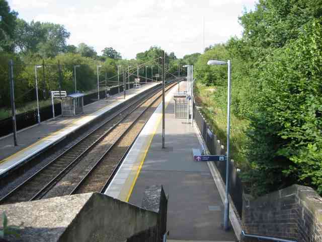
Bayford railway station
Bayford railway station serves the villages of Bayford and Brickendon in Hertfordshire, England. The station is on the Hertford Loop Line, 16 miles 56...
Brickendon
Brickendon is a village in the civil parish of Brickendon Liberty in the district of East Hertfordshire about 3 miles (4.8 km) south of the county town...

Wormley-Hoddesdonpark Wood North
Wormley-Hoddesdonpark Wood North is a 143.9-hectare (356-acre) woodland area in Hertfordshire which has been designated as a biological site of Special...

Bayfordbury Observatory
Bayfordbury Observatory is the University of Hertfordshire's astronomical and atmospheric physics remote sensing observatory, and one of the largest teaching...
Broxbourne Woods
Broxbourne Woods are a 239.1 hectare National Nature Reserve west of Broxbourne in Hertfordshire. The site is Hertfordshire's only National Nature Reserve...
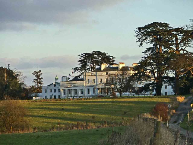
Bayfordbury
Bayfordbury, Hertfordshire, is a large Grade II* listed country house with surrounding parkland, and the location of a University of Hertfordshire campus...
Little Berkhamsted
Little Berkhamsted is a village and civil parish in Hertfordshire, England, five miles south-west of the town of Hertford. The village is in a hilly location...
Nearby Amenities
Located within 500m of 51.759523,-0.10230099Have you been to Bayford?
Leave your review of Bayford below (or comments, questions and feedback).